마이카머 최고의 워킹 & 하이킹 경로
4.6
(5726)
21,895
등산객
175
하이킹
정확한 경로를 찾는 것이 때로는 어렵지만 마이카머에서 하이킹을 하면 다양한 경치를 마음껏 감상할 수 있답니다. 마이카머에서 가장 멋진 하이킹과 워킹 중에서 마음에 드는 활동을 시작해보세요.
마지막 업데이트: 9월 24, 2026
4.7
(561)
1,888
등산객
5.18km
01:36
190m
190m
초급용 하이킹. 모든 체력 수준에 적합. 실력과 관계없이 누구나 쉽게 갈 수 있는 길.
4.7
(380)
1,271
등산객
8.90km
02:38
260m
260m
보통 하이킹. 좋은 체력 필요. 실력과 관계없이 누구나 쉽게 갈 수 있는 길.

4.7
(842)
3,172
등산객
9.03km
02:35
210m
210m
보통 하이킹. 좋은 체력 필요. 대부분 갈 수 있는 길. 미끄러지지 않게 조심해야 함.
4.7
(275)
1,082
등산객
9.43km
02:55
360m
360m
보통 하이킹. 좋은 체력 필요. 실력과 관계없이 누구나 쉽게 갈 수 있는 길.
4.5
(186)
668
등산객
11.4km
03:25
360m
350m
보통 하이킹. 좋은 체력 필요. 실력과 관계없이 누구나 쉽게 갈 수 있는 길.
더 다양한 경로와 다른 탐험가들의 추천을 살펴보세요.
이미 komoot 계정이 있나요?
투어 추천은 다른 사람들이 komoot에서 완료한 수천 개의 활동을 바탕으로 구성되어 있습니다.
오늘 무료 계정으로 시작하세요
다음 모험이 기다리고 있어요.
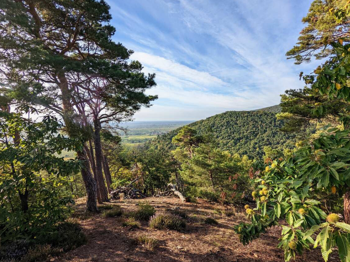
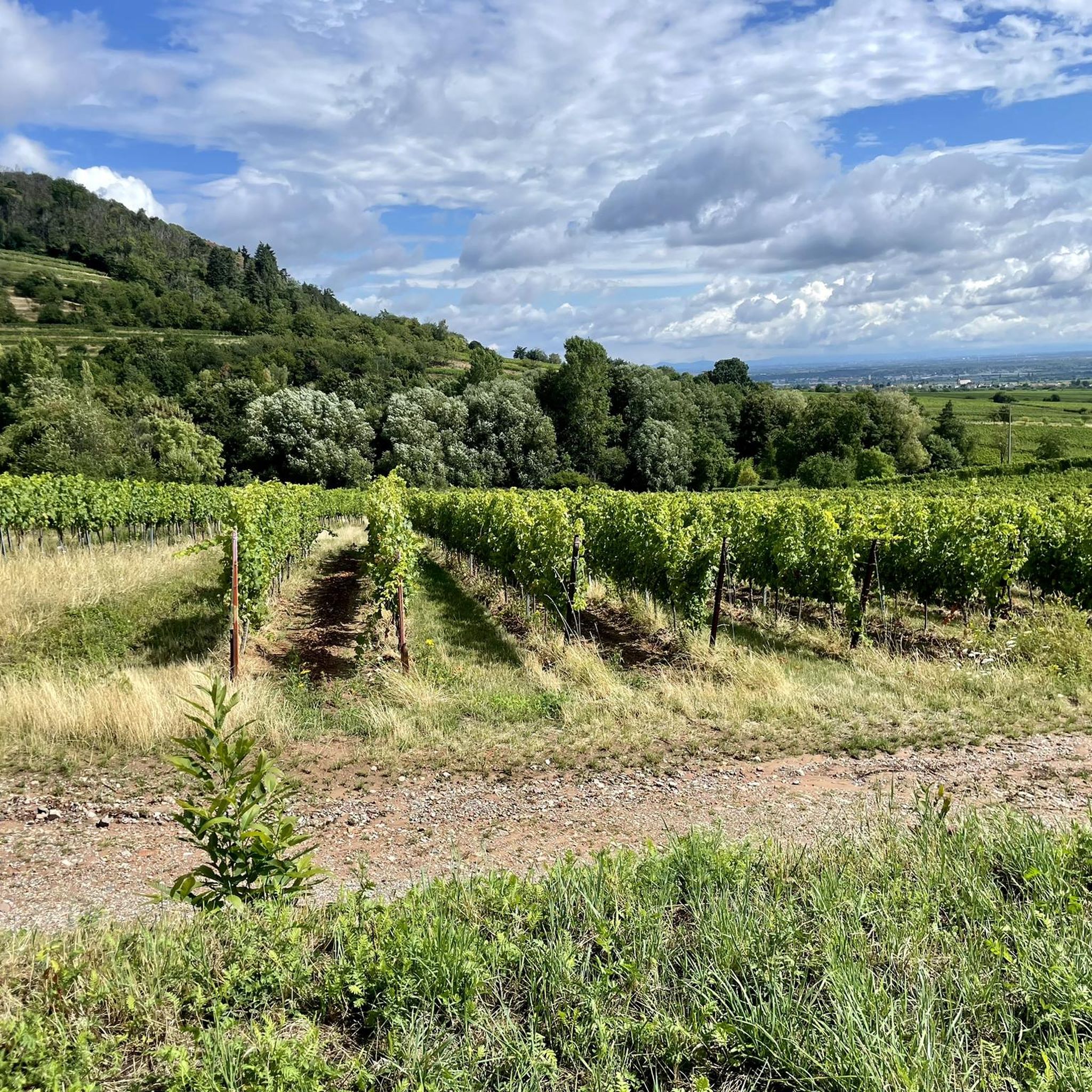
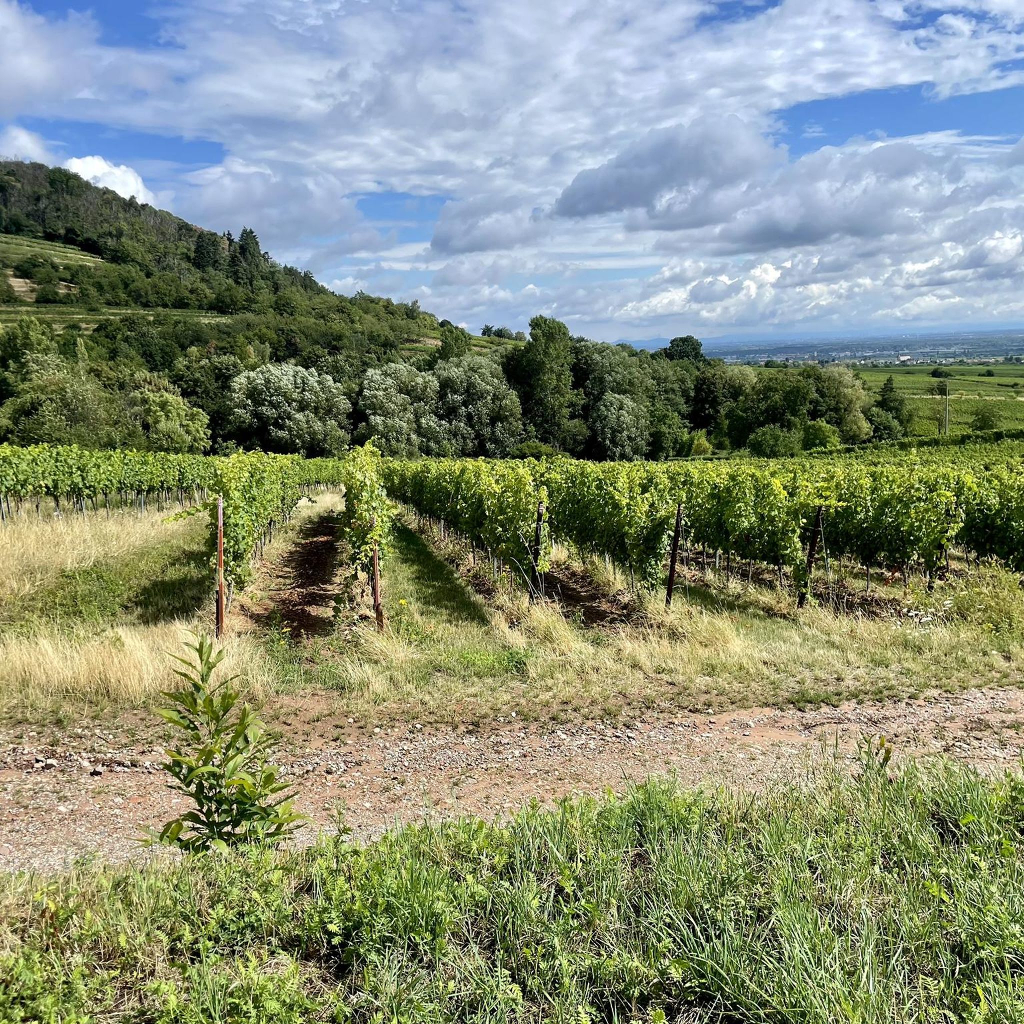
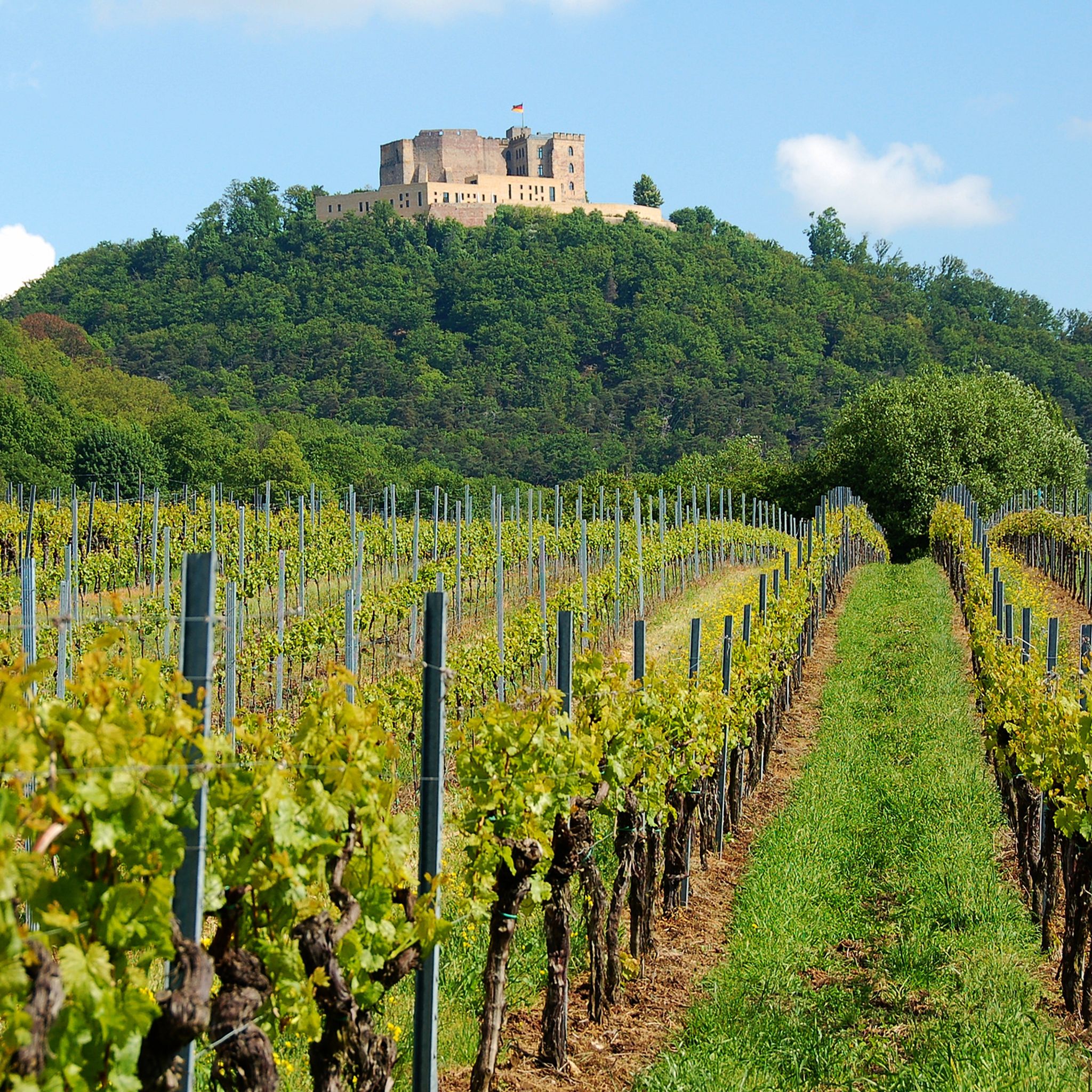
마이카머 주변의 다른 모험

커뮤니티 팁

길가에 조각품이 있으면 항상 멋지다고 생각해요, 저도 그런 것을 직접 만드는 것을 좋아하거든요 😉
0
0

일반적인 리터슈타인과 달리, "P.W.V."라는 이니셜이 없다는 점이 흥미롭습니다. Pfälzerwald-Verein에 따르면, 이 비석은 원래 PWV Neustadt가 세웠으며, 함바허 발트의 숲 또는 경계 표시로 말굽 모양이 새겨져 있고 나중에 리터슈타인 시스템에 포함되었습니다.
0
0

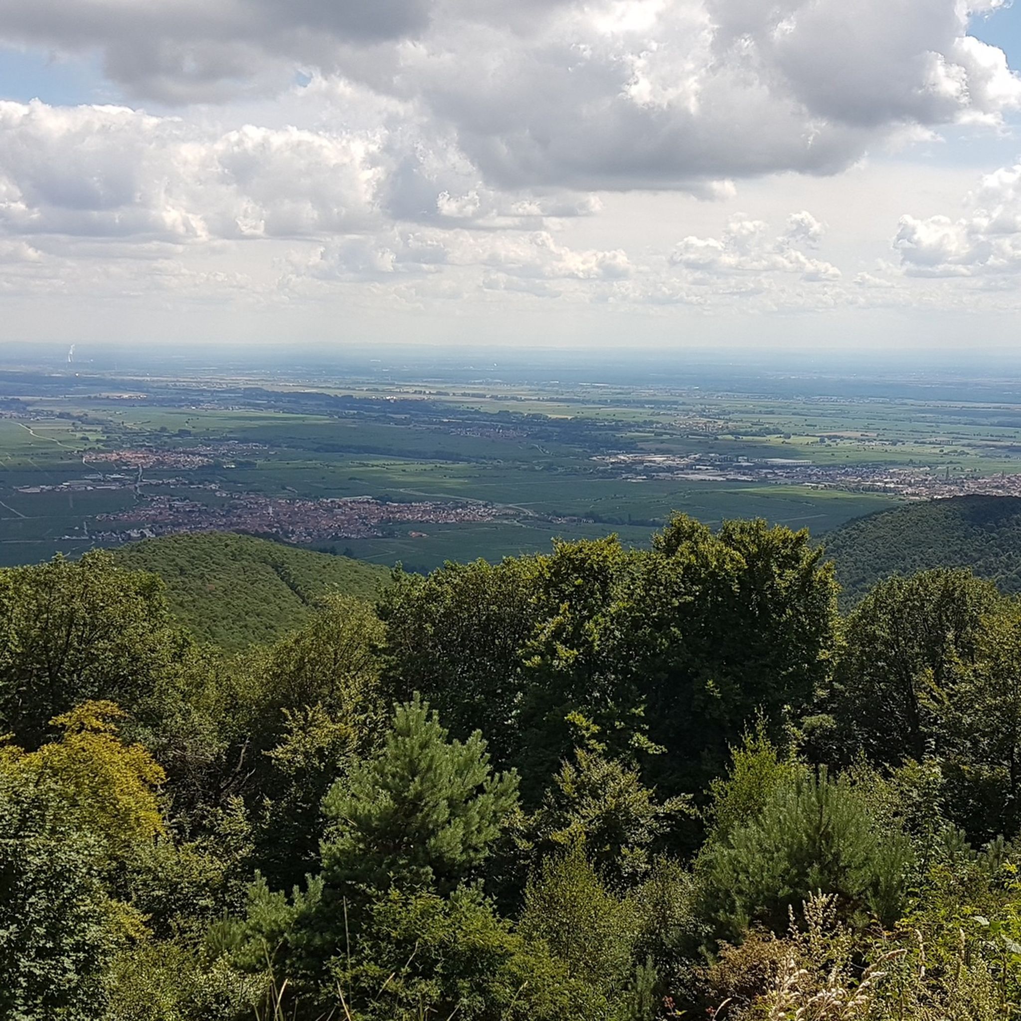
포도밭 너머 성까지 아름다운 전망입니다.
0
0

This memorial below the Kalmit summit commemorates the members of the Maikammer-Alsterweiler branch of the Palatinate Forest Association who fell in both World Wars. Erected in 1933, it bears the names of the victims of the First World War on a very large stone (with an eagle); later, a smaller stone was added with the names of those who fell in the Second World War. Further information can be found here: https://alsterweiler.matthiasdreyer.de/wiki/Kalmit#Gefallenendenkmale
1
0

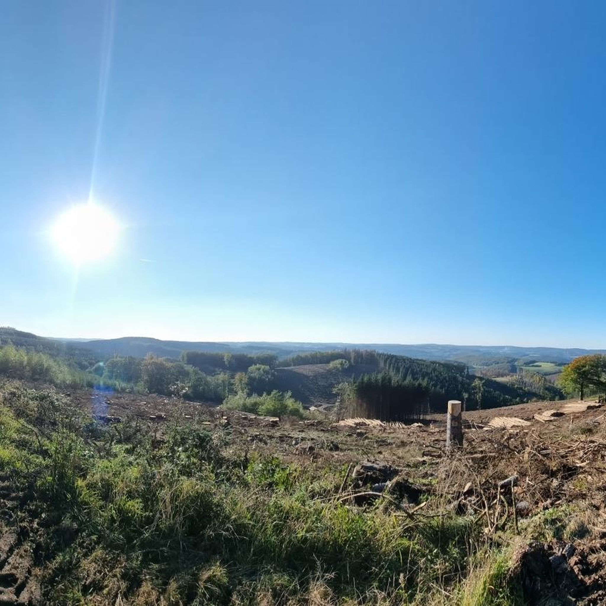
Simply a great landscape.
0
0

Great hiking trail through fantastic rock formations
0
0


더 살펴보기
다른 지역의 최고의 하이킹를 살펴보세요.
