파데르노 두냐노 최고의 워킹 & 하이킹 경로
4.1
(398)
3,762
등산객
22
하이킹
하이킹은 이탈리아 롬바르디아 지역의 다양한 풍경에 접근할 수 있게 해주며, 포 계곡의 비옥한 평원에 자리 잡고 있습니다. 이 지역에는 두 개의 호수와 여러 개의 트레일이 있는 라고르도 공원과 같은 복구된 자연 공간이 있습니다. 이 지역은 야외 활동을 위한 녹지 공간을 제공하는 파르코 그루그노토르토 빌로레시 및 파르코 그루브리아와 같은 더 큰 공원 시스템의 혜택을 받습니다. 멀리 부드러운 구릉이 보이며, 역사적인 빌로레시 운하는 광범위한 산책로를 제공합니다.
파데르노 두그나노 주변 최고의 하이킹 트레일
- 가장 인기 있는 하이킹 경로는 팔라촐로 밀라네세에서 그로아네 공원까지 –…
마지막 업데이트: 9월 30, 2026
3.7
(3)
13
등산객
10.4km
02:39
30m
30m
보통 하이킹. 좋은 체력 필요. 실력과 관계없이 누구나 쉽게 갈 수 있는 길.
3.9
(17)
198
등산객
6.63km
01:44
50m
50m
초급용 하이킹. 모든 체력 수준에 적합. 실력과 관계없이 누구나 쉽게 갈 수 있는 길.

4.3
(3)
47
등산객
8.69km
02:13
30m
30m
보통 하이킹. 좋은 체력 필요. 실력과 관계없이 누구나 쉽게 갈 수 있는 길.
2.7
(3)
43
등산객
3.35km
00:53
30m
30m
초급용 하이킹. 모든 체력 수준에 적합. 실력과 관계없이 누구나 쉽게 갈 수 있는 길.
3.7
(3)
25
등산객
보통 하이킹. 좋은 체력 필요. 실력과 관계없이 누구나 쉽게 갈 수 있는 길.
더 다양한 경로와 다른 탐험가들의 추천을 살펴보세요.
이미 komoot 계정이 있나요?
투어 추천은 다른 사람들이 komoot에서 완료한 수천 개의 활동을 바탕으로 구성되어 있습니다.
오늘 무료 계정으로 시작하세요
다음 모험이 기다리고 있어요.
커뮤니티 팁

빌로레시 운하는 솜마 롬바르도(Somma Lombardo) 코무네의 판페르두토(Panperduto) 지역에서 티치노 강(Ticino)의 물을 끌어옵니다. 밀라노(Milano)와 몬차 브리안차(Monza Brianza) 지역을 86킬로미터 통과한 후, 카사노 다다(Cassano d’Adda) 코무네에서 아다 강(Adda)으로 흘러 들어갑니다. 건설 작업은 1881년에 시작되어 1891년에 에우제니오 빌로레시(Eugenio Villoresi)의 설계로 완료되었습니다. 원래는 오로지 관개 목적만을 위해 구상되었던 이 운하는, 비단 생산과 관련된 작물들의 위기 이후, 약 3000킬로미터에 달하는 전체 네트워크를 통해 약 85000헥타르의 평야 지역에 물을 분배하는 역할을 합니다. 어려움이 없고 누구나 이용할 수 있으며 확실히 흥미로운 이 경로들은 수로 제방 개발에 투자된 사업의 일부이며, 또한 운하가 지나는 여러 코무네 간의 빠른 연결 통로로 간주될 수 있습니다.
3
0
팔라촐로 밀라네세: 밀라노 광역시 파데르노 두냐노에 위치해 있습니다. FerrovieNord가 관리하고 Trenord의 통근 열차가 운행하는 밀라노-아소 노선의 역으로, 밀라노 카도르나로 가는 데 이상적입니다.
0
0
The Villoresi Canal cycle path runs through the Lombardy countryside, along the entire length of the Villoresi Canal, the historic waterway built for irrigation in the late 19th century by engineer Eugenio Villoresi. The canal draws water from the Ticino River near Somma Lombardo and, after an 86 km journey, returns it to the Adda River near Groppello.
3
0

Perfect for a relaxing outing or a pleasant stroll. If you're passing through Monza's city center, stopping in the square for coffee and a pastry is practically a must: it recharges your batteries better than any energy bar! A smooth cycle path suitable for all levels.
3
0
The Villoresi Canal cycle path traverses the Lombardy countryside, following the entire length of the Villoresi Canal, the historic waterway built for irrigation in the late 19th century by engineer Eugenio Villoresi. The canal draws water from the Ticino River near Somma Lombardo and, after an 86 km journey, returns it to the Adda River near Groppello. It's an easy, flat cycle route, accessible to all types of bicycles and also suitable for families with children. An ideal place for a day trip, it allows you to explore the area's natural and scenic riches, cycling through cultivated fields, parks, and woods, with several detours to discover the architectural beauty of the many municipalities along the canal, or to continue along other cycle paths along the canal.
2
0

A good tour, suitable for everyone. There are occasional interruptions due to maintenance work on the cycle path. However, these are easily overcome with small detours.
3
0
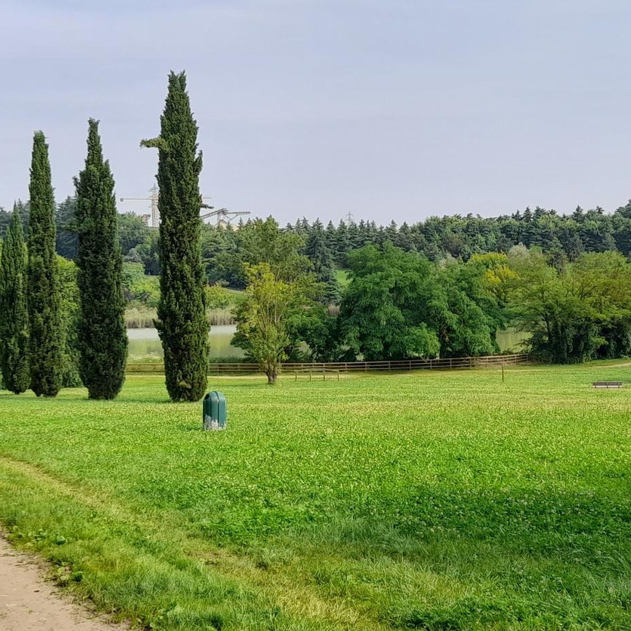
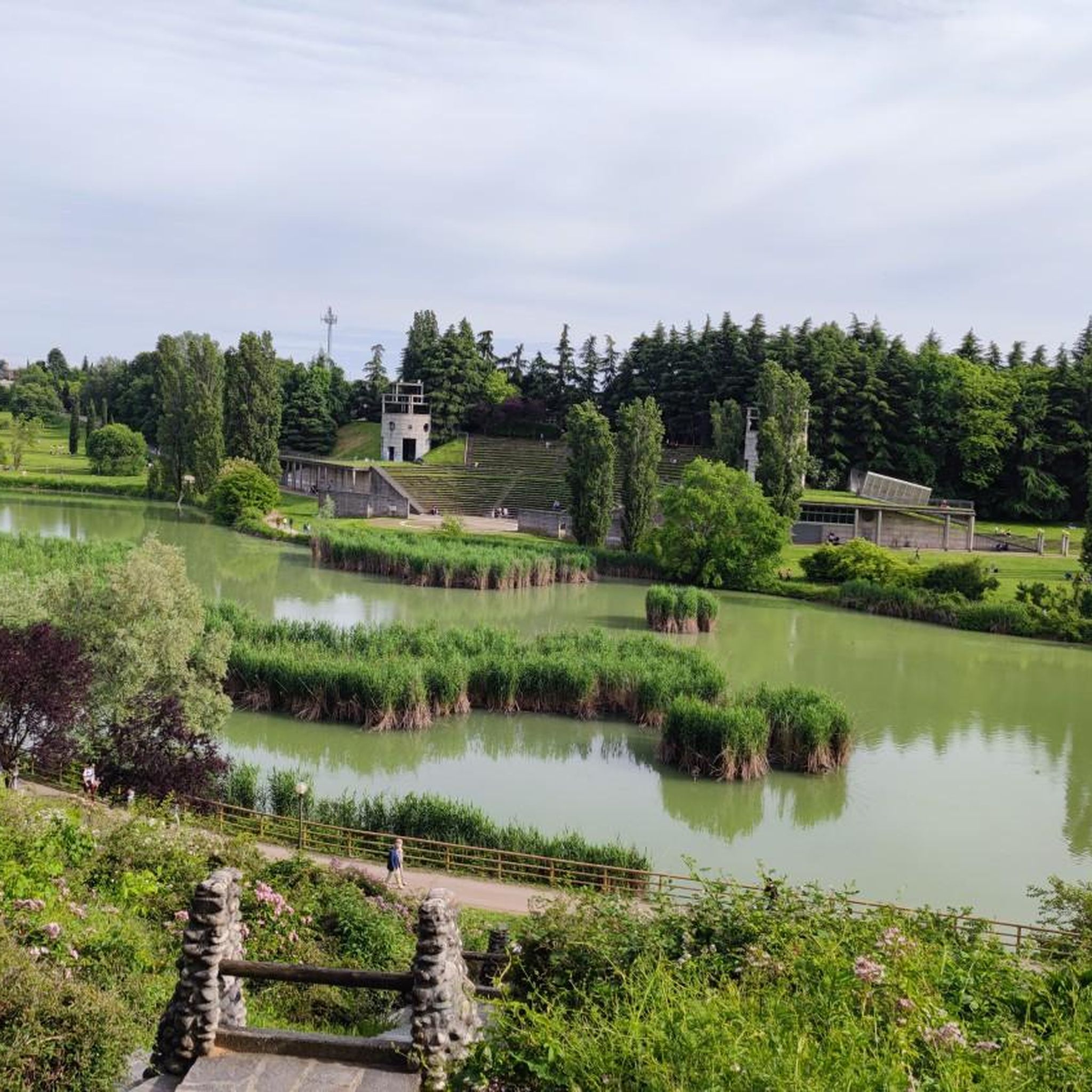
The Lago Nord Park is located in the municipality of Paderno Dugnano and features two lakes separated by a tree-lined walkway. The first lake is used for recreational fishing, while the second is characterized by a more spontaneous and wild development and is home to several species of resident and migratory birds. The lake's waters are artificially diverted from the Villoresi canal, flowing into the reservoir through a small artificial waterfall. The Lago Nord Park was awarded the European Community Prize for the best environmental reclamation of a sand and gravel quarry.
1
0

A beautiful, easy bike path accessible to all. Unfortunately, being one of the few in Brianza, it's very crowded, and you have to be careful of all users (bikers and pedestrians). It's worth it.
1
0
파데르노 두냐노 주변에서 가장 인기 있는 명소


더 살펴보기
다른 지역의 최고의 하이킹를 살펴보세요.
