폰테 디 레뇨에서 가장 멋진 20개의 산 정상
폰테 디 레뇨의 산 정상에 오르면 이 지역의 아름다운 모습을 제대로 구경할 수 있어요. 다만, 20
곳이나 되는 산 정상 중에서 어떤 곳을 가야 할 지 고민된다는 게 문제죠. 폰테 디 레뇨에서 가장 멋진 산 정상을 살펴본 후에 마음에 드는 산 정상을 다음 모험 계획에 추가해보세요.
마지막 업데이트: 8월 31, 2026

Passo dell'Alpe (2461m)
하이라이트 • 산악 고개
번역자 Google •
팁에 의해

이런 장소를 발견하려면 지금 가입하세요
최고의 싱글 트랙, 봉우리 및 다양한 흥미로운 야외 장소에 대한 추천을 받아보세요.
무료 회원 가입
포르첼리나 디 몬토초
하이라이트 • 산악 고개
The gravel road is easy to drive up high, except for the last 100m. One of the most amazing panoramas I have seen on the descent in my life. …
번역자 Google •
팁에 의해

파소 데이 콘트라반디에리
하이라이트 • 산악 고개
번역자 Google •
팁에 의해

리푸지오 만토바 알 비오츠
하이라이트 • 산장
번역자 Google •
팁에 의해

무료로 가입하여 폰테 디 레뇨 주변의 더 많은 봉우리를 발견하세요.
무료 회원 가입
이미 komoot 계정이 있나요?
오늘 무료 계정으로 시작하세요
다음 모험이 기다리고 있어요.
로그인 또는 가입하기
폰테 디 레뇨 주변 인기 장소

클래식 알프스 교차로부터 멀리 - L1 가르미쉬에서 브레시아까지
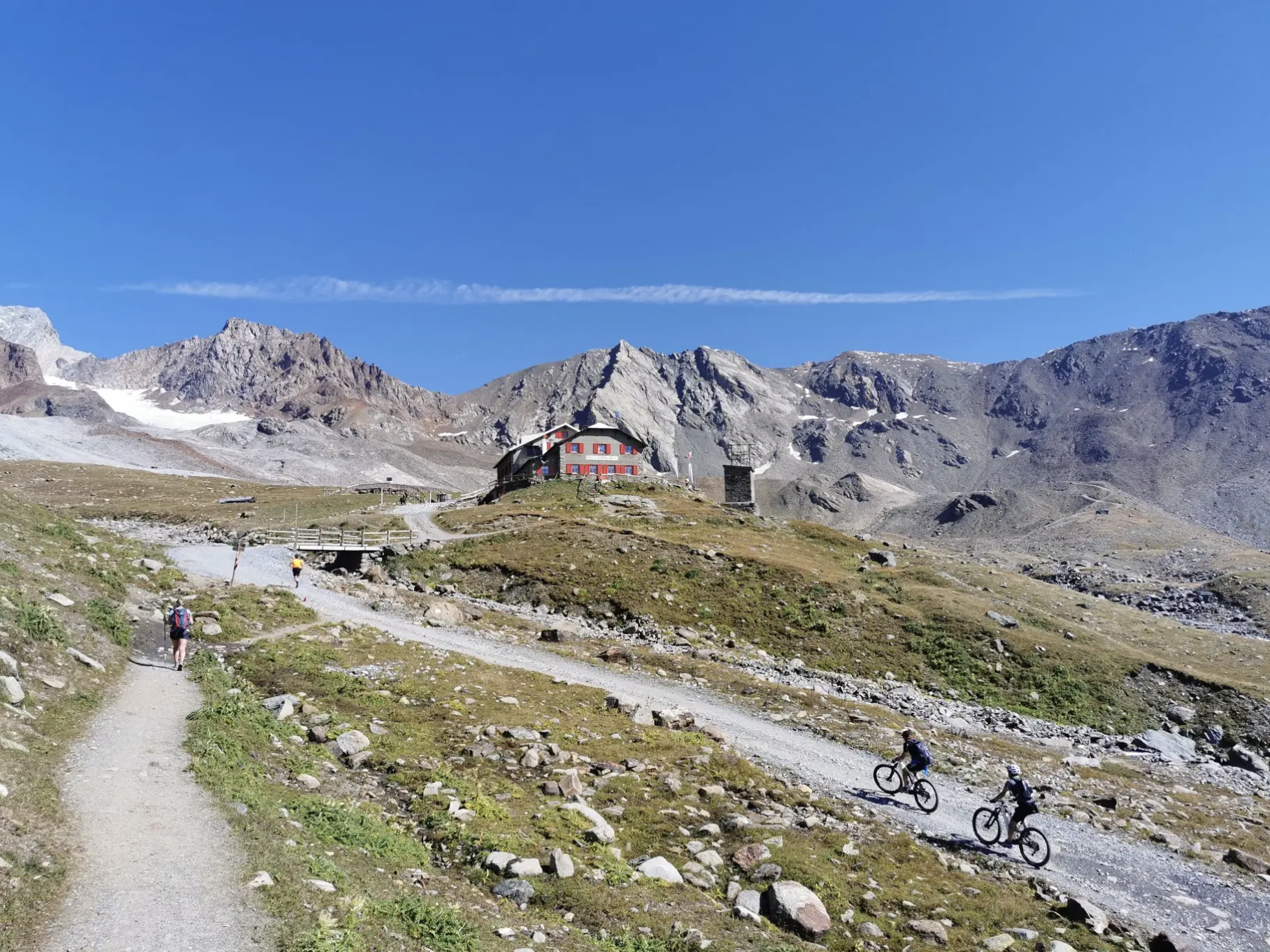
오르틀러 주변의 고산 트레일에서 7단계

Il Sentiero della Pace – viaggio nella memoria storica del Trentino
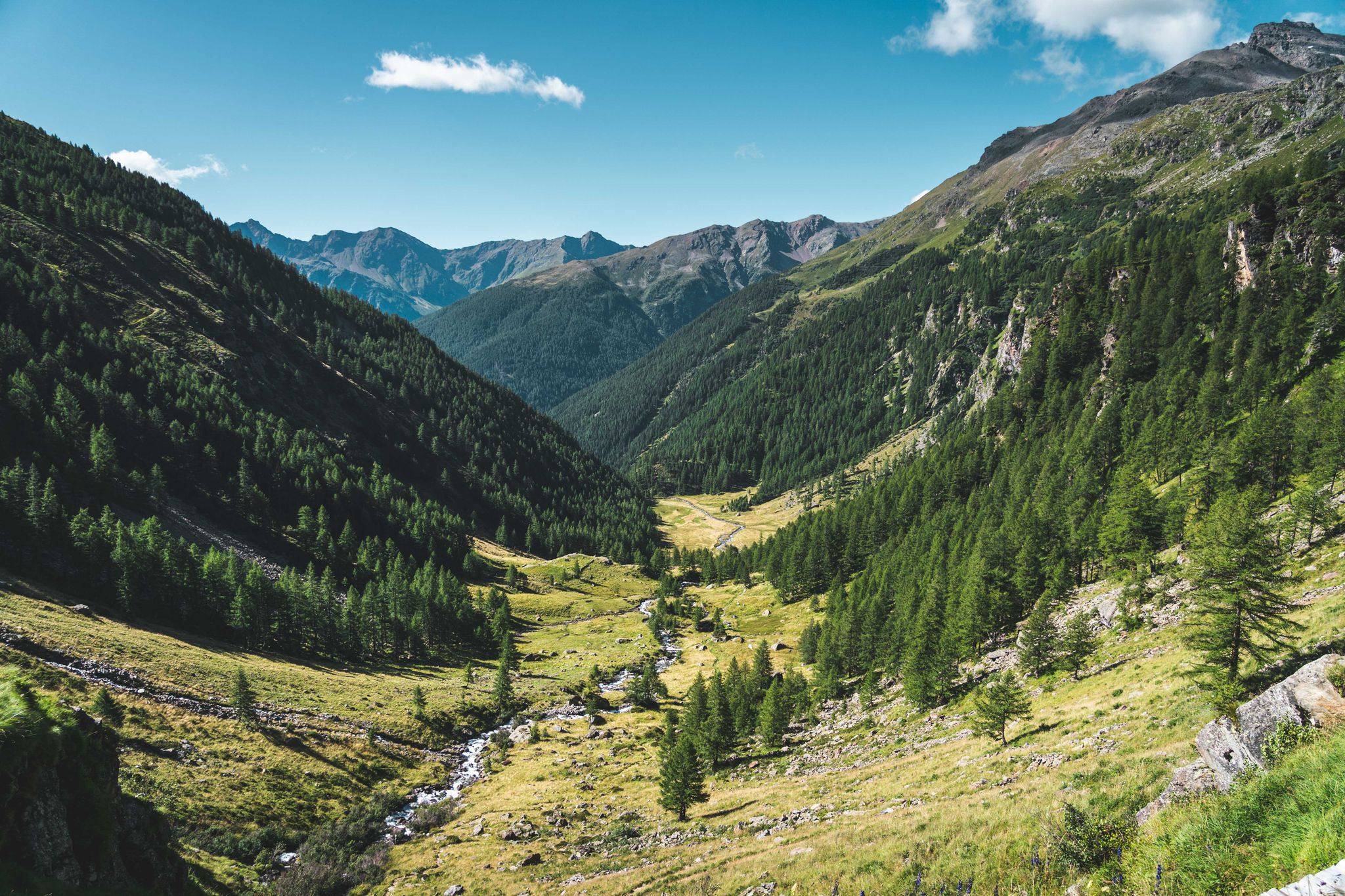
Trekking in Val di Sole – 7 day hikes at high altitude
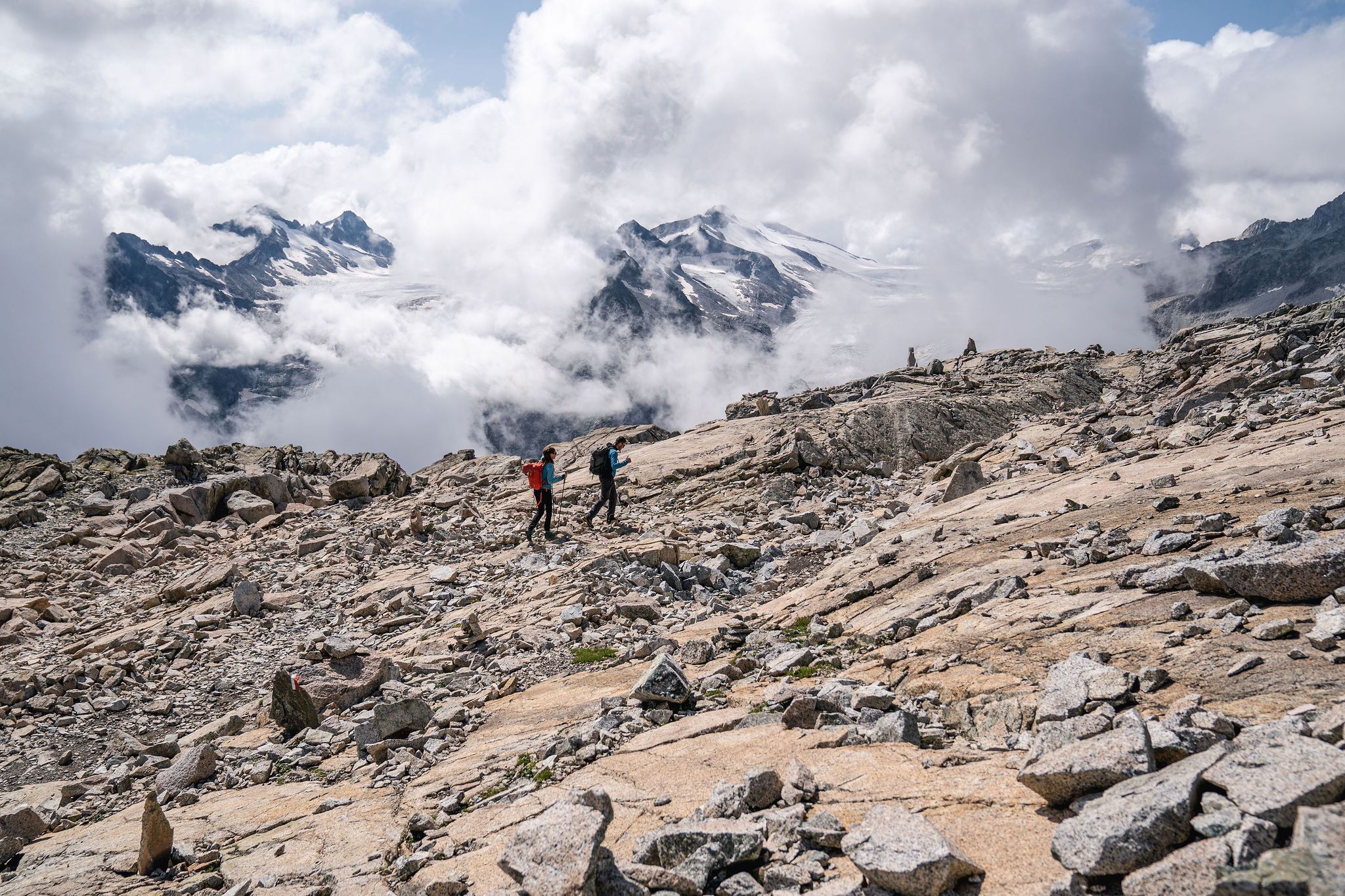
Epic adventures in Val di Sole – between glaciers and rock cathedrals
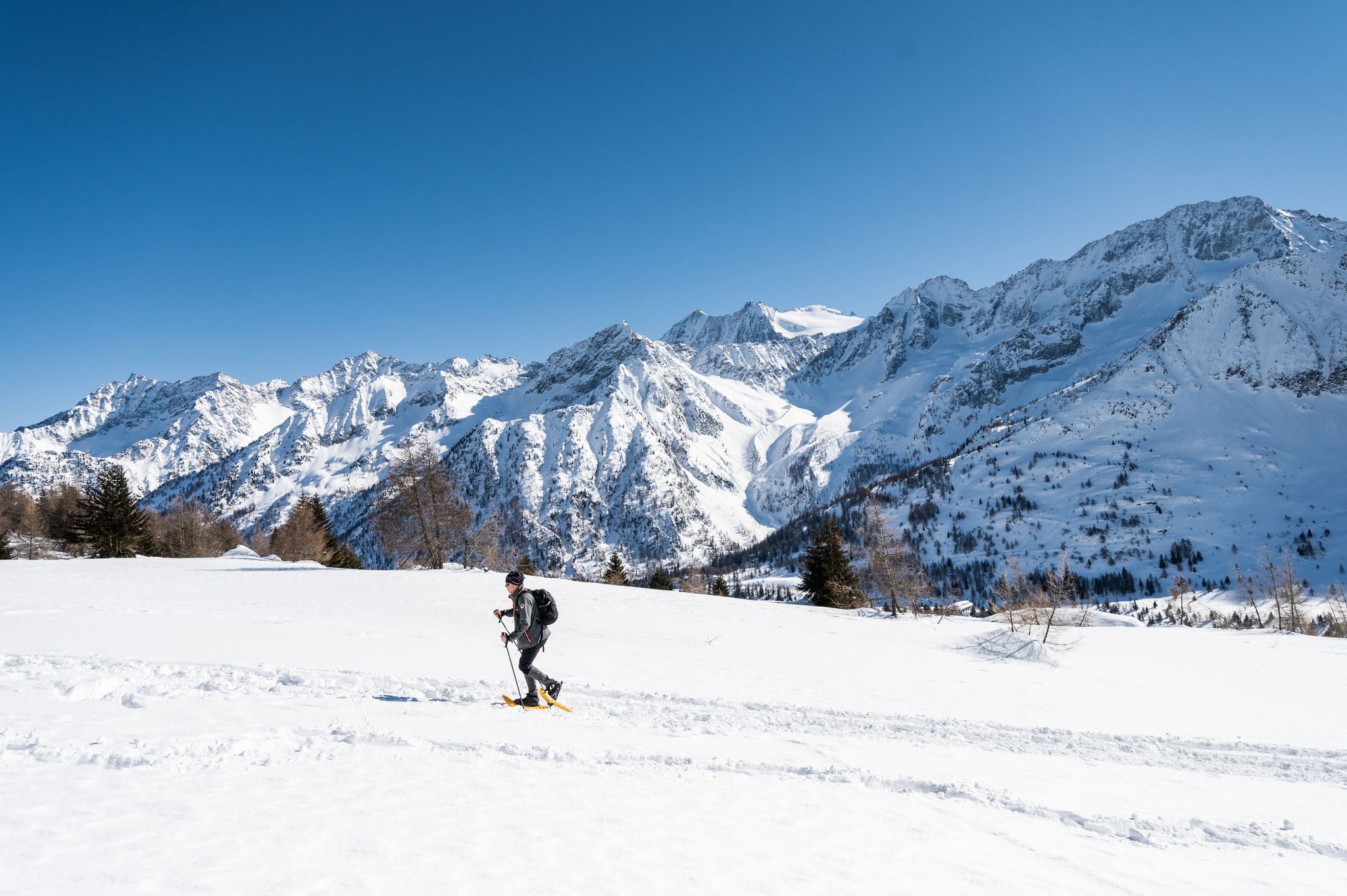
Ten snowshoe hikes in Italy’s Val di Sole

イタリアルドの 和國の 入店がなる として - Via Valeriana は よります
발 카모니카의 역사와 자연 사이 – 아다멜로 울트라 트레일
그랜드 이탈리아 통행료 - 10가지 역사적인 등반

정상, 암각 및 산골 집 - 이탈리아의 발 카모니카를 하이킹
폰테 디 레뇨 주변의 다른 모험


커뮤니티 팁

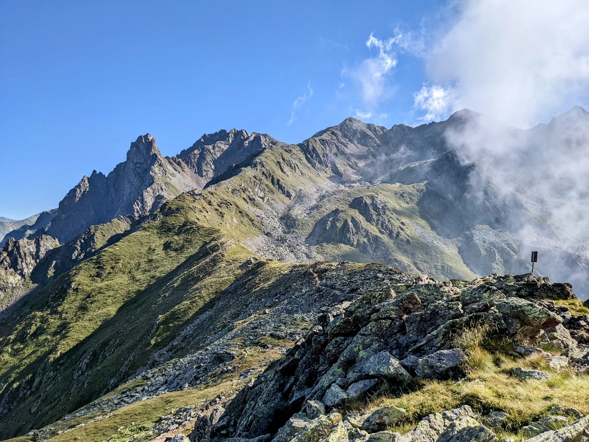
Il Passo dei Contrabbandieri는 해발 2.681미터에 위치한 알프스 고개로, 트렌티노(베르미글리오 코무네)와 롬바르디아(폰테 디 레뇨 코무네)를 연결하며 스텔비오 국립공원의 남쪽 경계에 자리 잡고 있습니다. 이 고개는 북쪽의 오르틀레스-체베달레 산군부터 남쪽의 아다멜로-프레사넬라 산군까지 펼쳐지는 파노라마 전망을 제공하는 여름 트레킹의 멋진 목적지입니다. 출발 지점: 토날레 고개(오스피치오 산 바르톨로메오 지역). 말가 발비올로(2.244m)까지 비포장 도로를 따라 올라갑니다. 여름 시즌에는 리프트를 이용하여 하이킹 거리를 단축할 수 있습니다. 말가에서 CAI 111번 트레일을 따라 가파르고 돌이 많은 마지막 구간을 지나면 고개로 바로 이어집니다. 토날레에서 도보로 오르는 총 순수 고도 상승량은 약 740미터이며, 오르막만 평균 2시간 20분이 소요됩니다. 난이도: 하이킹(E). 기술적인 어려움은 없지만 마지막 경사 때문에 힘든 하이킹입니다. 등산화 착용을 강력히 권장합니다.
1
0

Quite a difficult route but beautiful views of the Cevedale group
1
0

A pass located at 2,681 meters above sea level, on the watershed dividing northern Trentino from Lombardy, so called because during the Austro-Hungarian reign, smugglers passed through it carrying contraband goods. It was the site of trench warfare during the First World War, and today, the imposing ruins of trenches, barracks, and Italian army posts can still be seen on the great ridge that, starting from Cima Cadì, passed over western Monte Tonale, Cima Casaiole, and then from Passo dei Contrabbandieri, ascended first to Albiolino and then to Punta d'Albiolo, opposing the Austro-Hungarians who occupied Torrione d'Albiolo and the entire ridge descending from it, to eastern Monte Tonale and today's "Città morta" (Dead City), with a bold cantilevered engineering feat, still partially visible from the 1960s and 1970s. From the pass you can enjoy interesting views both to the north and to the south.
7
1


Stunning high altitude trail that can be done on a sure-footed mountain bike
2
0

really very very beautiful https://www.youtube.com/watch?v=zTNqMTmHpec
2
0

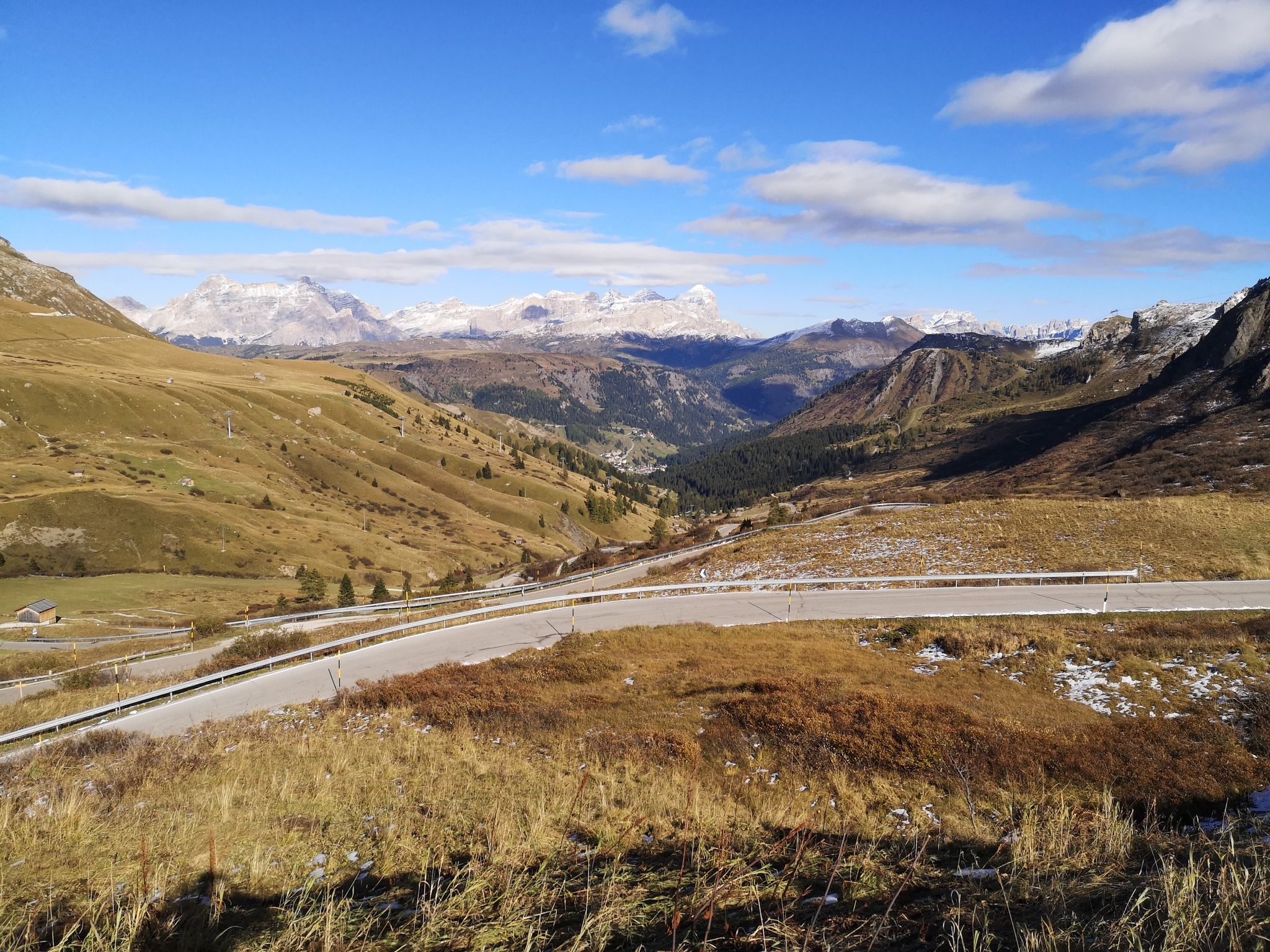
The Alpe pass, at 2,461 meters, is one of the most suggestive in the area. The climb, long but accessible, crosses the Val di Rezzalo on a paved road that then becomes a dirt road and steeper. The descent towards the Gavia pass road offers almost 200 meters of altitude difference.
2
0

you can arrive easily in 2.30/3 hours and in 15 minutes you can go up to the Vioz cross. no equipment needed if clear of snow
2
1
폰테 디 레뇨 주변에서 가장 인기 있는 명소


더 살펴보기
이 가이드를 통해 폰테 디 레뇨 주변의 더 놀라운 정상들을 확인해보세요:
