경로플래너기능업데이트
App
로그인 또는 가입
앱 다운로드
로그인 또는 가입
경로
Places to see
Mountain Peaks
이탈리아
롬바르디아
브레시아

페르티카 알타

페르티카 알타‬에서 가장 멋진 ‪20‬개의 산 정상


페르티카 알타의 산 정상에 오르면 이 지역의 아름다운 모습을 제대로 구경할 수 있어요. 다만, 20
곳이나 되는 산 정상 중에서 어떤 곳을 가야 할 지 고민된다는 게 문제죠. 페르티카 알타에서 가장 멋진 산 정상을 살펴본 후에 마음에 드는 산 정상을 다음 모험 계획에 추가해보세요.

마지막 업데이트: 10월 11, 2026

리푸지오 도쏘 로톤도

하이라이트 • 산장

Strategic point between Val Trompia and Val Camonica hospitality and excellent food !!!

번역자 Google •

팁에 의해

라이딩 보기휴대폰으로 전송
저장

치마 오라 요새

하이라이트 • 역사적 장소

The Cima Ora fort is part of the route of forts and artefacts on the trail of the 1915-18 war on Lake Garda. From its roof, where currently only the …

번역자 Google •

팁에 의해

저장

이런 장소를 발견하려면 지금 가입하세요

최고의 싱글 트랙, 봉우리 및 다양한 흥미로운 야외 장소에 대한 추천을 받아보세요.

무료 회원 가입

카판나 티타 세키

하이라이트 • 산장

It is a characteristic bivouac, dedicated to the memory of the partisan Tita Secchi. It is an entirely wooden building which has a small equipped kitchen (cylinder tank, sink, tables …

번역자 Google •

팁에 의해

저장

몬테 아리오

하이라이트 • 정상

Mount Ario offers a magnificent 360 degree view, you will be delighted.

번역자 Google •

팁에 의해

저장

치마 몬테 무페토

하이라이트 • 정상

A peak over two thousand meters high, overlooking the Montecampione plain and the Bassinale valley.
On the grassy, rounded summit, a simple cross with two howitzers fixed at its base. …

번역자 Google •

팁에 의해

저장

무료로 가입하여 페르티카 알타 주변의 더 많은 봉우리를 발견하세요.

무료 회원 가입

이미 komoot 계정이 있나요?

오늘 무료 계정으로 시작하세요

다음 모험이 기다리고 있어요.
로그인 또는 가입하기

페르티카 알타 주변 인기 장소

Anello Valsabbino - Val Sabbia의 마을 사이를 트레킹

마운틴바이크를 타고 알타 발레 사비아를 탐험하세요

페르티카 알타 로드 사이클링 경로

페르티카 알타 하이킹

페르티카 알타 사이클링

페르티카 알타 MTB 트레일

페르티카 알타 러닝 트레일

페르티카 알타 주변 그래블 라이딩

페르티카 알타 등산

페르티카 알타 주변의 다른 모험

Anello Valsabbino - Val Sabbia의 마을 사이를 트레킹

하이킹 컬렉션 에 의해

Davide Inverardi

커뮤니티 팁

Carlenzoli Yuri
7월 9, 2026, Monte Ario

다양한 각도에서 본 모습

번역: Google•

0

0

특히 여름철 토요일과 일요일(하지만 언제나 가는 것이 좋습니다)에는 예약이 권장됩니다. 방문객이 많고 양, 가격, 서비스 모두 정말 좋습니다.

번역: Google•

0

0

On the east side there is an alternative route up to the fort which also passes through a short section of iron path and a long, slender ladder that overcomes a wall of about fifteen metres.

번역: Google•

0

0

Welcoming refuge, very good value for money. E-bike charging

번역: Google•

0

0

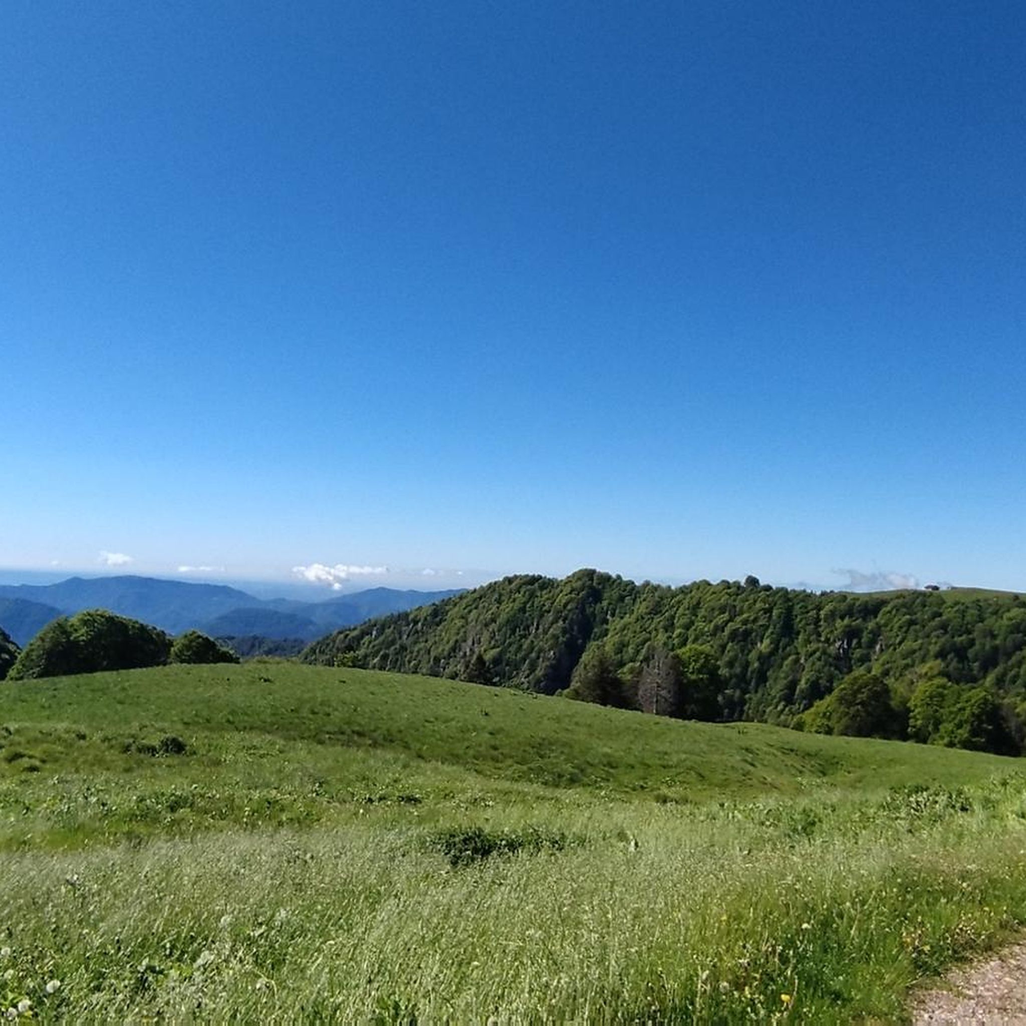
A peak over two thousand meters high, overlooking the Montecampione plain and the Bassinale valley. On the grassy, rounded summit, a simple cross with two howitzers fixed at its base. It can be reached via various trails, or by following the two main ridges: the southeast (EE) and the northwest (EE+, which also features a small equipped cliff mid-ridge). From the summit, you can enjoy a splendid panorama wherever you turn, surrounded by imposing mountain ranges at the four cardinal points, as well as the upper part of Lake Sebino, the Camonica Valley, and the Trompia Valley. With a particularly trained eye, you can see: to the north the Orobie mountain range and at first sight the Presolana (you can also glimpse the snow-capped Bernina), to the east the Adamello massif and the Brenta Dolomites, to the south the mountains of the Maniva mountain range, to the west the Monte Guglielmo group.

번역: Google•

3

0

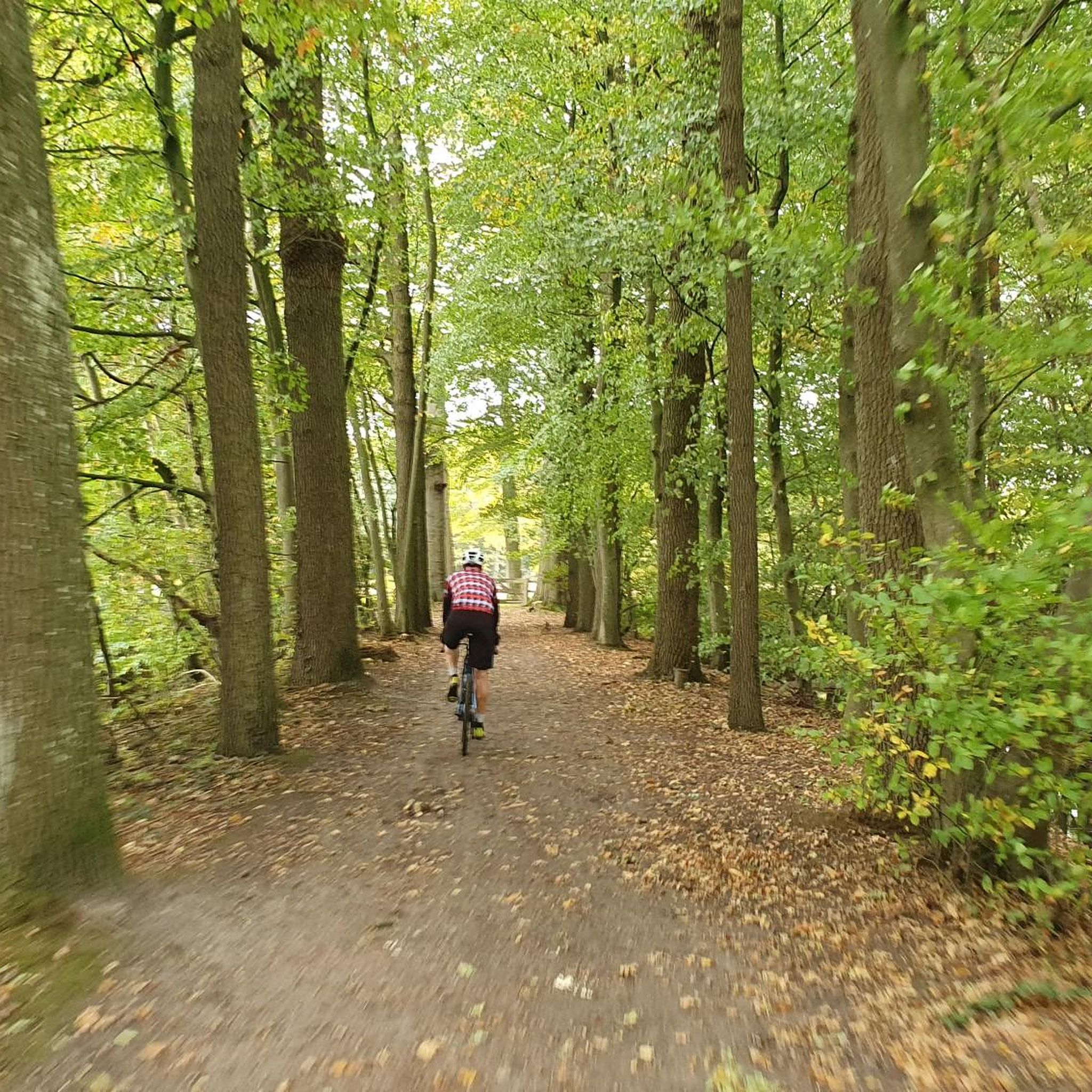
The soldiers' path, a long ledge that can be cycled on, very fun, a little exposed. Arrival at the Tita Secchi hut with a short portage section

번역: Google•

0

0

From the refuge a splendid panorama

번역: Google•

0

0

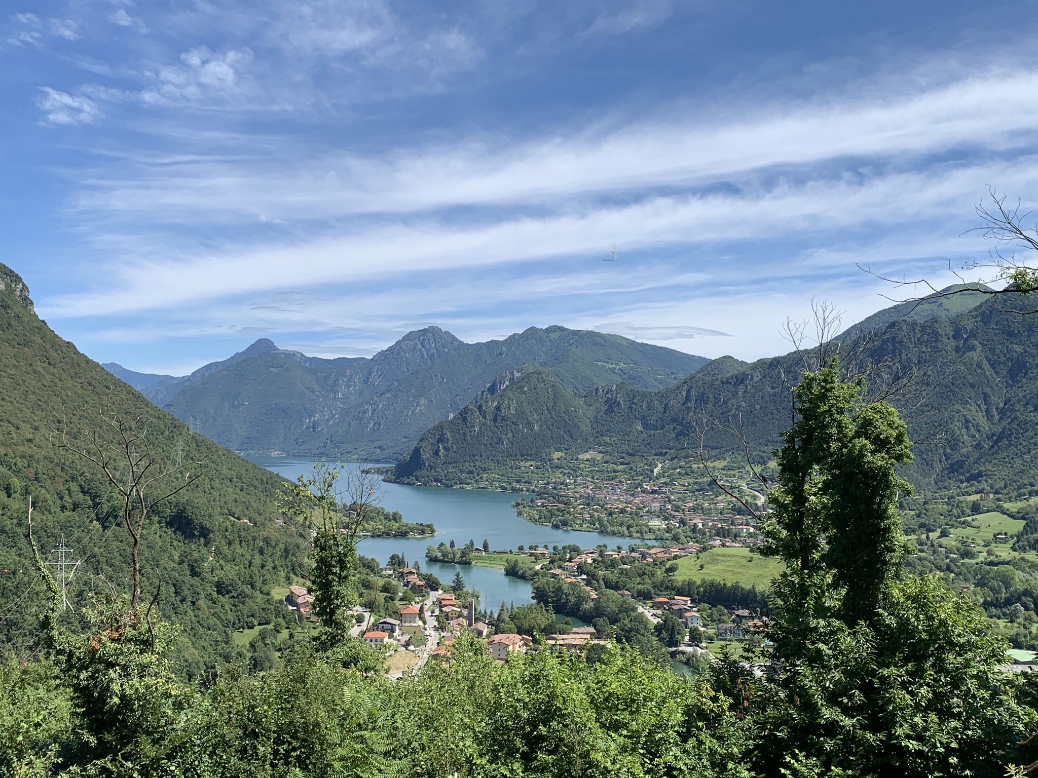
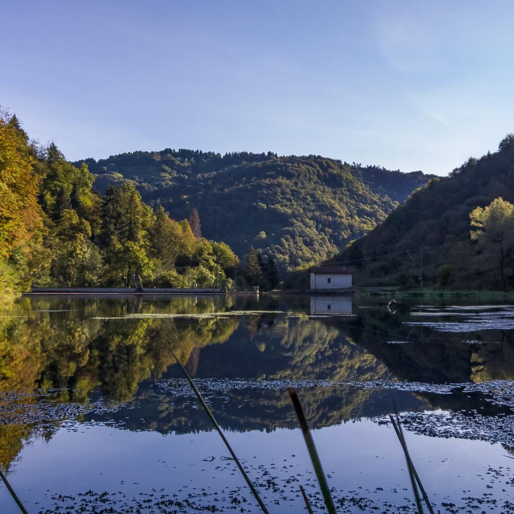
The Dosso Rotondo refuge is located in the Adamello Natural Park area, at about 1,900 meters above sea level. The structure is immersed in a breathtaking landscape, with a view of the surrounding peaks and the suggestive Lake Idro. Reachable via paths that wind through woods and alpine meadows, the refuge is an ideal place for a stop to enjoy typical dishes of the mountain tradition. Thanks to its position, it also offers numerous itineraries for those who want to continue towards other higher destinations or simply explore the surroundings.

번역: Google•

0

0

페르티카 알타 주변에서 가장 인기 있는 경로

페르티카 알타 로드 사이클링 경로

페르티카 알타 주변에서 가장 인기 있는 명소

Places to see

Store rating

komoot 모바일 앱으로 영감을 받아보세요

무료 komoot 계정로 끝없는 야외 모험을 손쉽게 찾고, 맞춤 설정하며 길안내할 수 있어요.

또는

지금 komoot에 가입하세요
Store rating

더 살펴보기

이 가이드를 통해 페르티카 알타 주변의 더 놀라운 정상들을 확인해보세요:

마론피소뉴술자노세일 마라시노존몬테 이솔라가르돈 발 트롬피아마르체노타베르놀 술 멜라리모네 술 가르다트레모신 술 가르다티그날레아르토뉴피안 카무노이서폴라베노마가사가르냐노마르멘티노사레초페짜즈로드리노앙골로 테르메프로바글리오 디세오지아니코파라티코토스콜라노-마데르노코르테 프랑카다르포 보아리오 테르메보바르노가르도네 리비에라이르마보베뇨브리오네몬티첼리 브루사티밸브스티노파시라노보르노빌라 카르시나오메카포발레피안코노구사고산 펠리체 델 베나코안포이드로라베논트레비소 브레시아노살로카프리올로아드로바골리노폰테 디 레뇨프로바글리오 발 사비아비오네무라바르게페르티카 바사테무에신베르조 데모모니가 델 가르다콜리오베스톤브레노로덴고-사이아노카자고 산 마르티노베르조 인페리오레세보비엔노베짜 돌리오루메잔프레슬리로에 볼치아노말로노카스토마네르바 델 가르다코르테노 골지파이스코 로베노로치오오시모니아르도세토세데골로빌라누오바 술 클리시소니코카이노양보파데르노 프란치아코르타에도로브라오네사비오 치즈시비데이트 카무노말레뇨오노 산 피에트로침베르고가바르도구세주 델아다멜로체르베노카포 디 폰테셀레로인쿠딘본당로신팔라졸로 술올리오푸에나고 술 가르다발리오 테르메비오네모노파스파르도머스코린파르코 지역 델'아다멜로보티치노칼바지스 델라 리비에라프레발레아그노신보베초셀라티카세를레오돌로콜레비토에르부스코누볼레라누볼렌토파이톤시르미오네폴페나제 델 가르다소이아노 델 라고카스테냐토파뎅게 술 가르다오스피탈레토로바토마자노론카델쾰른레자또베디졸코칼리오데센자노 델 가르다로나토 델 가르다트라바글리아토산 제노 나빌리오보르고사톨로카스테네돌로Parco naturale dell'Alto 가르다 브레시아노토르볼레 카사글리아

근처 어드벤처 가이드

무라 즐길거리

background

새로운 정복을 위한 준비를 하세요

무료로 가입하기
탐험하기
경로경로 플래너기능바우처 사용하이킹MTB 트레일로드 사이클링 경로바이크패킹사이트맵
앱 다운로드
소셜 미디어에서 팔로우하기

© komoot GmbH

개인 정보 보호 정책