경로

플래너

기능

업데이트

App

로그인 또는 가입

앱 다운로드

로그인 또는 가입

경로
Places to see
Mountain Peaks
이탈리아

롬바르디아

롬바르디아‬에서 가장 멋진 ‪20‬개의 산 정상


롬바르디아의 산 정상에 오르면 이 지역의 아름다운 모습을 제대로 구경할 수 있어요. 다만, 20
곳이나 되는 산 정상 중에서 어떤 곳을 가야 할 지 고민된다는 게 문제죠. 롬바르디아에서 가장 멋진 산 정상을 살펴본 후에 마음에 드는 산 정상을 다음 모험 계획에 추가해보세요.

마지막 업데이트: 7월 7, 2026

몬테 트레말초

하이라이트 • 산악 고개

Beautiful dirt road suitable for both mtb and gravel. Breathtaking views that I will remember for a lifetime. It is doable both downhill and uphill.

번역자 Google •

에 의해

라이딩 보기

휴대폰으로 전송

저장

로카 디 마네르바 델 가르다

하이라이트 • 전망대

Great challenging trails and hiking trails on and around the Rocca... super path goes up from the beach bay 💪 very steep downhill to be enjoyed with caution

번역자 Google •

에 의해

저장

이런 장소를 발견하려면 지금 가입하세요

최고의 싱글 트랙, 봉우리 및 다양한 흥미로운 야외 장소에 대한 추천을 받아보세요.

무료 회원 가입

스텔비오 고개

하이라이트 • 산악 고개

One of the most important Alpine passes in Europe, second for height with its 2758 m, here we have seen the exploits of many heroes of world cycling, an epic climb!

번역자 Google •

에 의해

저장

몬테 제네로소

하이라이트 • 정상

Monte Generoso is the mountain that dominates the entire Mendrisiotto area and Lake Lugano, it can be reached with beautiful treks that start from Switzerland and Valle Intelvi, or it can also be reached with a panoramic train that leaves from Riva San Vitale, in at the top you can enjoy on the clearest days a wonderful view of the main lakes in the area and also of the skyscrapers of Milan and the Po Valley, as well as of the entire Alpine range.

번역자 Google •

에 의해

저장

체리올라의 성모 마리아 성지

하이라이트 • 종교적 장소

The Sanctuary of the Madonna della Ceriola is the highest point of Monte Isola, at an altitude of 600 metres. From here you can admire a wide panorama of Lake Iseo and the surrounding mountains.

번역자 Google •

에 의해

저장

몬테 베스톤 정상 전망

하이라이트 • 정상

Gigantic view of the tourist metropolis Limone with a great alpine panorama.

번역자 Google •

에 의해

저장

몬테 비오츠 정상

하이라이트 • 정상

In my collection of the highest "hiking peaks" of every Alpine country, Monte Vioz has replaced Rocchiamelone (and Punta Rossa del Grivola) for Italy.
A higher peak that can be reached "hiking" [for me that means without glacier equipment and with a maximum of short, not too exposed climbing sections in the 1st degree] should not be found anywhere in Italy [if you know one, please message me! 🙂].
For my criterion, the only option was to leave the valley without a cable car, since it's almost 2,000 meters of ascent and descent. In addition, I wanted to take the Punta Linke with me as the 19th peak over 3500 m [in the meantime there are 21 😉].
At the end of September, the cable car and hut were already closed, but in good weather the summit could still be (almost) snow-free. Although you always have to be aware that there can be a lot of snow at this height, even in midsummer - the much-cited "alpine experience" is always recommended, despite the comparatively easy path (T3+) for the height.

번역자 Google •

에 의해

저장

몬테 체베달레 정상

하이라이트 • 정상

Even if it is generally considered to be a less difficult alpine tour - when climbing Monte Cevedale you should bring glacier equipment, appropriate alpine knowledge and a very good physical condition with you. Depending on how ambitious you want to go on the last day of the summit, an overnight stay at the Schaubachhütte (2,581 meters) or the Casatihütte (3,269 meters) is recommended before climbing up to 3,769 meters.

The final ascent to the summit is up to 40 degrees steep and can be difficult if it is iced up, constant concentration and avoiding missteps is the top priority. At an advanced time of the day, the warming can lead to falling rocks. Once at the top, it's time to take a deep breath and enjoy the fantastic view. If you haven't had enough yet, continue over the ridge to the Zufallspitze.

번역자 Google •

에 의해

저장

There are several paths to reach the refuge: the one I did starts from Brumano, takes about two hours, level E, with 900 meters of elevation gain. Very beautiful, panoramic in the last stretch, no passage of particular difficulty.

번역자 Google •

에 의해

저장

치마 디 솔다 (술덴슈피체)

하이라이트 • 정상

Mount Cevedale (Zufallspitze in German) is a 3,769 m high mountain in the Alps s.l.m. [1], the Ortles-Cevedale Group, in the southern Rhaetian Alps.

에 의해

저장

무료로 가입하여 롬바르디아의 더 많은 봉우리를 발견하세요.

무료 회원 가입

이미 komoot 계정이 있나요?

오늘 무료 계정으로 시작하세요

다음 모험이 기다리고 있어요.

로그인 또는 가입하기

롬바르디아 주변 인기 장소

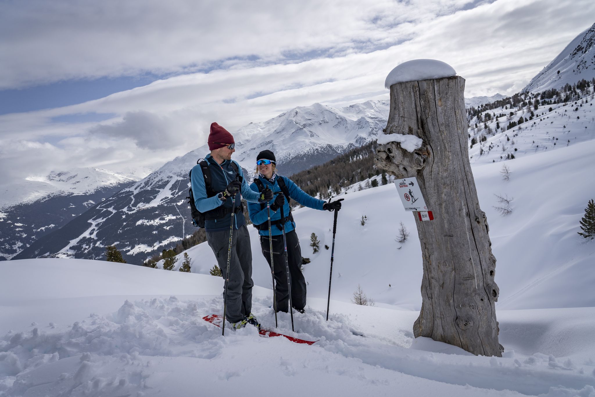
Stelvio Natural Skimo Trails – ski mountaineering adventures in Bormio
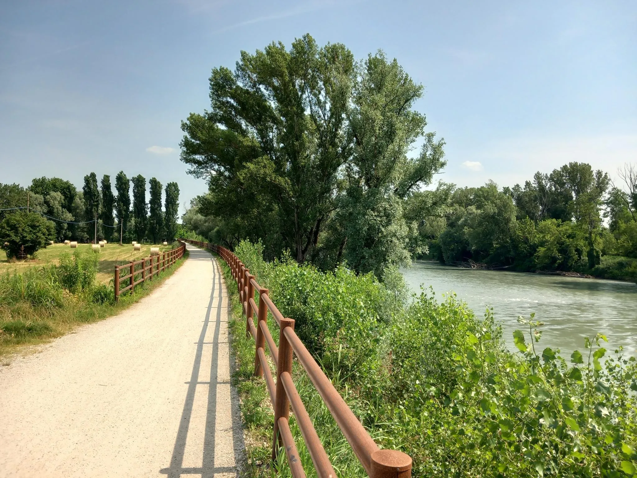
티르레니아 바다와 아드리아 바다 사이를 걷기 - Via Postumia

클래식 알프스 교차로부터 멀리 - L1 가르미쉬에서 브레시아까지
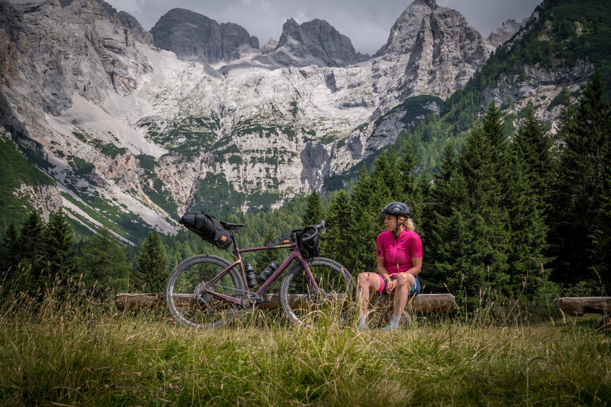
알프스를 가로지르는 그라베흐 - Graun에서 Riva del Garda까지
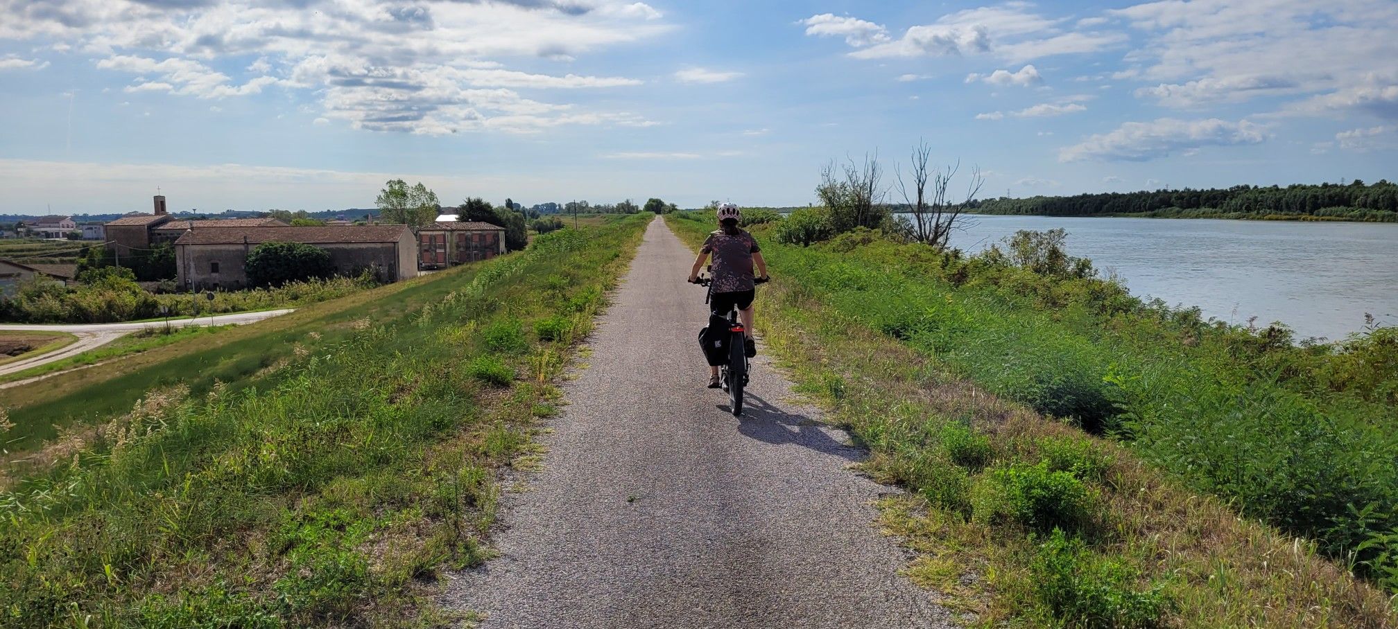
이탈리아 최장의 강 포 강변을 따라 - 치클로비에 델 포
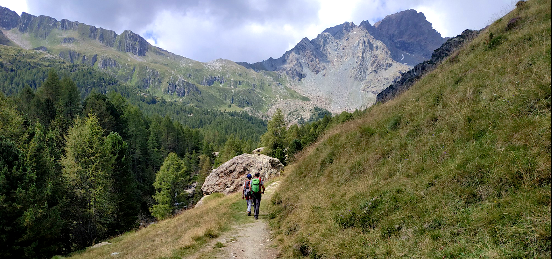
고고대 스릴 있는 트레킹 모험 — Sentiero Roma
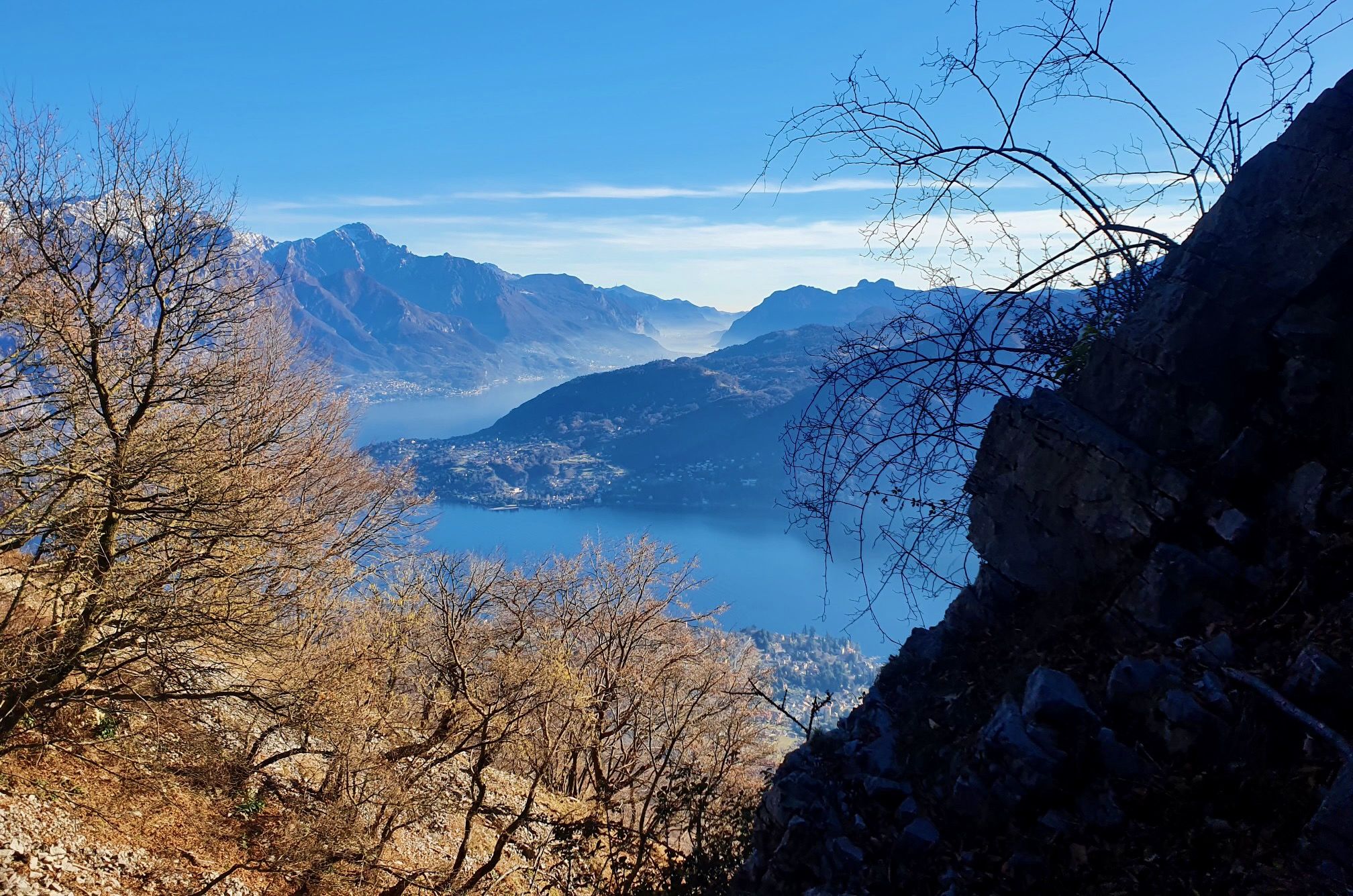
로마인부터 전쟁까지 — 이탈리아 코모호의 파노라마 트레일

리스본으로 가는 길 – 알프스, 피레네, 피코스 데 에우로파를 바이크 패킹
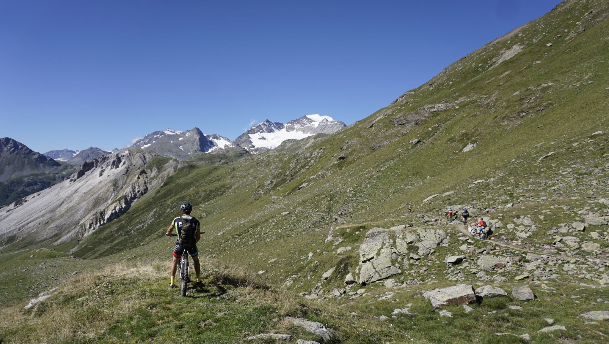
츠크슈피츠에서 코모호수까지 - MTB 트랜잰 코모호수
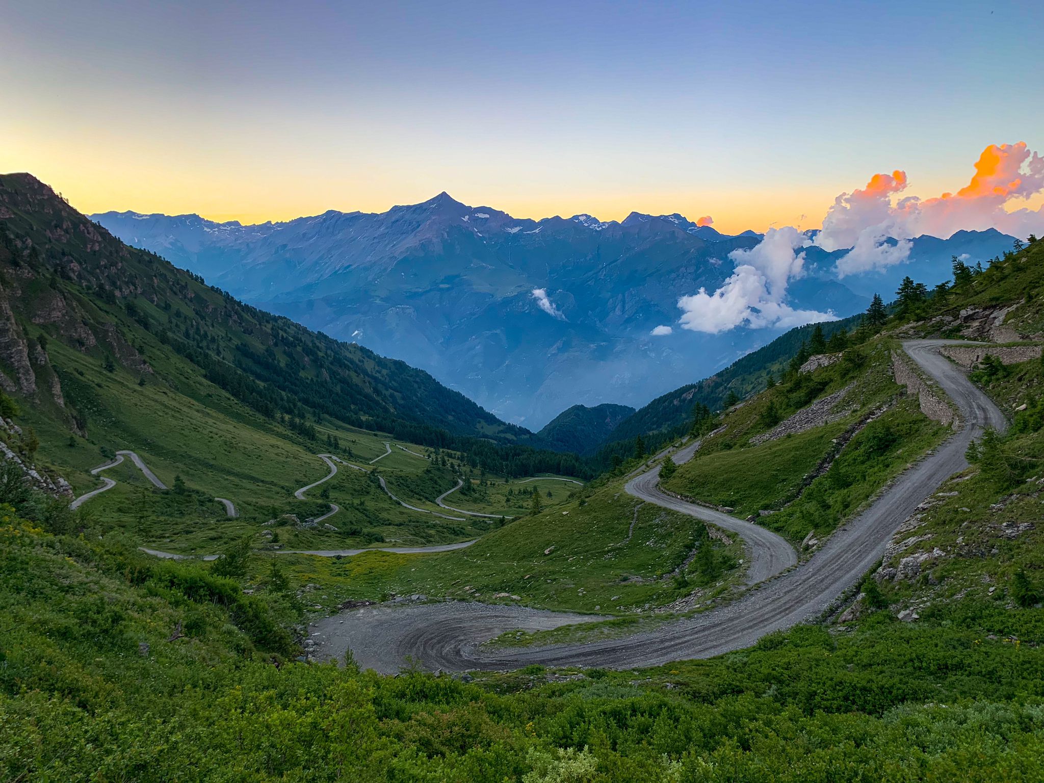
알프스를 건너는 해를 쫓다 — 지원 없이 솔로

롬바르디아의 다른 모험

Stelvio Natural Skimo Trails – ski mountaineering adventures in Bormio

컬렉션 에 의해

Bormio

커뮤니티 팁

SR22
9월 24, 2025, Monte Vioz Summit

Quite a difficult route but beautiful views of the Cevedale group

번역: Google

0

0

Cima Solda is a classic glacier climb from the Solda Valley. It's also easily accessible from the Casati refuge via a relatively easy hiking trail (there's a snowfield below the summit, which is generally unproblematic or avoidable in summer). Splendid views of Cevedale, Zebrù, and Ortles are available if you're lucky enough to find a clear day.

번역: Google

1

0

The Rifugio Luigi Azzoni, located on the summit of Resegone, is a point of reference for hikers in the area. The panoramic view from its position is unparalleled, ranging from the Orobie Prealps to the plain. Open all year on weekends and every day in summer, it offers food and overnight accommodation.

번역: Google

1

1

the statue on pilgrimage to Monte Isola

번역: Google

3

0

Wonderful view of the lake. For me personally it's more worth it than the church itself.

번역: Google

5

0

wonderful peak reachable from Orimento

번역: Google

1

0

Monte Cevedale is a symbolic mountain of the Ortles-Cevedale group, 3,769 meters high. It establishes the border between Lombardy and Trentino-Alto Adige. To reach its summit you need good preparation and the ability to move in alpine environments.

번역: Google

1

0

The approach to the summit cross is somewhat exposed in winter past a wire entanglement. It may be necessary to unbuckle.

번역: Google

0

0

롬바르디아에서 가장 인기 있는 경로

롬바르디아 로드 사이클링 경로

롬바르디아에서 가장 인기 있는 명소

Natural Monuments

Store rating

komoot 모바일 앱으로 영감을 받아보세요

무료 komoot 계정로 끝없는 야외 모험을 손쉽게 찾고, 맞춤 설정하며 길안내할 수 있어요.

또는

지금 komoot에 가입하세요

Store rating

찾고 계신 것을 찾지 못하셨나요?

롬바르디아의 최고의 봉우리와 정상들을 지역별로 발견해보세요:

파비아브레시아베르가모바레세꼬모손드리오레코

다른 탐험 장소

근처 어드벤처 가이드

카베르나고 즐길거리

background

새로운 정복을 위한 준비를 하세요

무료로 가입하기

탐험하기
경로경로 플래너기능하이킹MTB 트레일로드 사이클링 경로바이크패킹사이트맵
앱 다운로드
소셜 미디어에서 팔로우하기

© komoot GmbH

개인 정보 보호 정책