카스텔 콘디노에서 가장 멋진 12개의 산장 & 오두막집
산장은 야외 활동 하이라이트에 자주 등장하는 아이템이에요. 카스텔 콘디노에서 가장 멋진 오두막집과 통나무집을 아래에서 살펴본 후에 마음에 드는 오두막집/산장을 다음 모험 계획에 추가해보세요.
마지막 업데이트: 7월 14, 2026


이런 장소를 발견하려면 지금 가입하세요
최고의 싱글 트랙, 봉우리 및 다양한 흥미로운 야외 장소에 대한 추천을 받아보세요.
무료 회원 가입
가베르 평원에서 브루피오네 비박까지
하이라이트 (구간) • 산장
번역자 Google •
팁에 의해


Rifugio Garibaldi
하이라이트 • 산장
번역자 Google •
팁에 의해

무료로 가입하여 카스텔 콘디노 주변의 더 많은 오두막과 캐빈을 발견하세요.
무료 회원 가입
이미 komoot 계정이 있나요?
오늘 무료 계정으로 시작하세요
다음 모험이 기다리고 있어요.
로그인 또는 가입하기

커뮤니티 팁

Rifugio Tita Secchi는 Adamello에서 가장 멋진 산장 중 하나로, Lago della Vacca를 직접 내려다보고 Cornone di Blumone의 남쪽 벽 기슭에 있습니다. 🏔️ 산장 정보 고도: 해발 2367m 지자체: Breno (Val Camonica) 위치: Lago della Vacca 지역, 25043 Breno BS 좌표: 북위 45.9526805, 동경 10.4427384 전화: 0365 903001 (6월–9월 운영) 관리: Alessandra Serina 침대 수: 60개; 겨울용 공간: 6개
0
0


Beautiful road offering great views
0
0

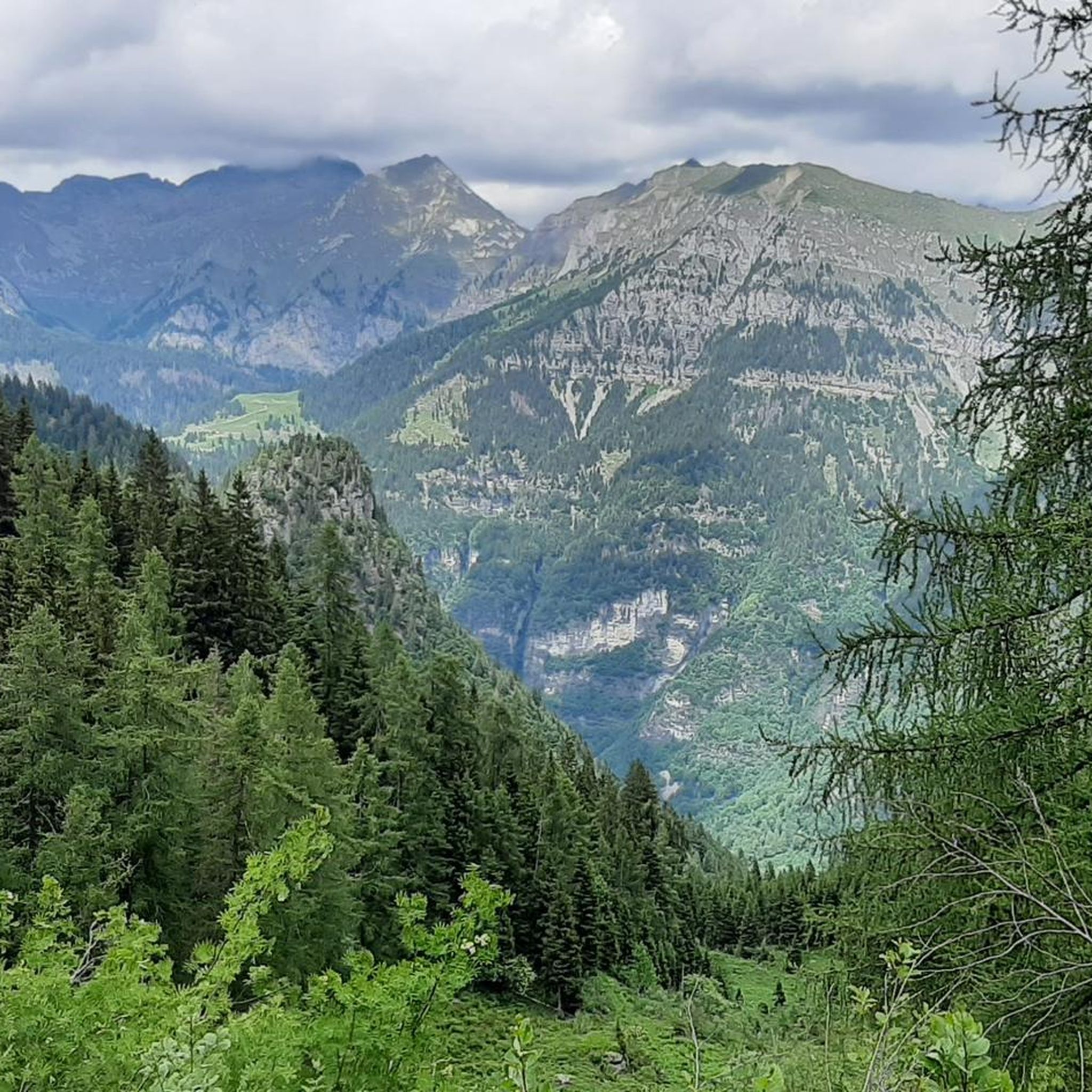
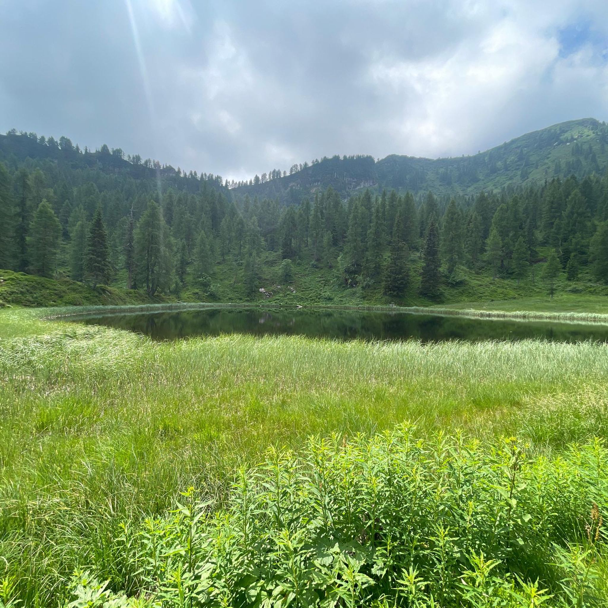
Just beside the Bar Bruffione (one of the various establishments accessible on the plain), a notice board is visible with a list of the various indications on the destinations that can be reached: the sign initialed "401 - Bivacco P.so Bruffione" indicates our direction to follow. After crossing the bridge over the Caffaro, the mule track begins to climb the slope on the left, in a southerly direction, entering a dense forest, with some panoramic openings, unfortunately created by the cutting of trees made necessary by the presence of the harmful bark beetle. The mule track is really beautiful with a good surface and in the highest part it is also particularly scenic given that the roadway was created by digging deeply into the outcrops of reddish rocks. After about 3 km, you cross a narrow passage "in the trench", a real portal with ancient plants placed on the curved shoulders over the gap. Just beyond the gate everything changes and you enter an incredible natural environment: the "plan di Bruffione", a splendid and wide suspended valley, with grazing herds, ancient huts and a crystalline stream that crosses it. At the beginning of the plain there is a fork: a path to the right, CAI 413, leads directly to the two lakes of Bruffione while the mule track, CAI 414, our route, leads to the homonymous pass (2143m). Go up the Vallone gently along a mule track, of military origins, perfectly maintained, passing alongside the Bruffione and Casinello huts. Here you are immersed in a typically alpine environment with splashes of color donated by a spectacular flora where in the right periods it is possible to see the various blooms of the ferrugineous rhododendron, anemones, lilies and saxifrages as well as some species of wild orchids. For those interested, it should be noted that, making a small detour, it is possible to access a place where on 17 November 1915, 27 soldiers, including infantrymen and Alpine troops, lost their young lives under an avalanche. Unfortunately, it seems that the tragedy was caused by an underestimation by the officers of the suitability of the camp site, a position absolutely not recommended by the local mountaineers. Leaving the last malga, you go up along long but easy walks back to the Bruffione pass and here the view of the basin is spectacular. Once you reach the pass, right on the border between Trentino and Lombardy, at an altitude of 2143 m, at the foot of a pyramid-shaped peak, the small Bruffione bivouac appears, a beautiful stone structure, with bright red doors, with all that which is needed to be able to take shelter in case of bad weather.
0
0

This route is for experienced athletes. Shortly before the summit of the Tremalzo there is a small inn where you can have a bite to eat before going back down over the pass.
3
0

Looks good. Advertises with charging option for e-bikes. But closed in mid-May.
4
1

There is also a small, simple oven. However, there isn't necessarily any wood and the bivouac is unfortunately a little above the tree line. So you shouldn't rely on it. There is also some cookware. The meadows around the bivouac are probably also used as pasture, so be careful where you get water; There are also side streams where animals are probably not kept. Inside there were four beds with blankets and pillows and a table. Unfortunately, one of the four chairs only had three legs...
0
0

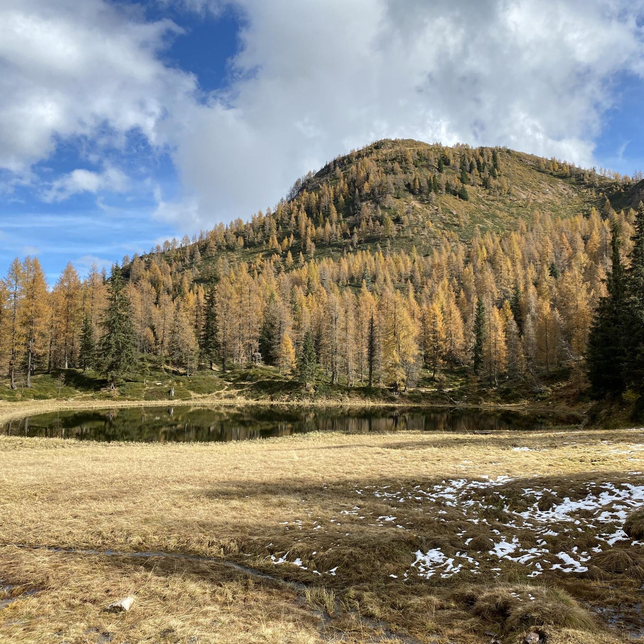
The Blumone bivouac is a fantastic place to spend a night. Being a bivouac and not a refuge, it is self-managed and it is possible that you will have to share it with other people. It has a single room containing: four beds with mattresses, pillows and blankets, a wooden table with four chairs, a stove, a chest of drawers with various crockery.
2
0
카스텔 콘디노 주변에서 가장 인기 있는 명소


더 살펴보기
이 근처의 최고의 오두막과 캐빈을 확인하여 카스텔 콘디노 주변의 더 아름다운 장소를 찾아보세요:
