11의 담 사이덴바흐가지 명소 & 주요 장소
담 사이덴바흐에는 둘러볼 만한 장소가 많답니다. 하이킹 또는 사이클링을 좋아한다면 담 사이덴바흐에 숨겨진 11
가지 보석을 만날 수 있을 거예요. 이 지역의 주요 명소를 살펴보면서 다음 모험을 계획해보세요.
마지막 업데이트: 9월 12, 2026

자이덴바흐 댐 (자이덴바허 댐)
하이라이트 • 호수
번역자 Google •
팁에 의해

이런 장소를 발견하려면 지금 가입하세요
최고의 싱글 트랙, 봉우리 및 다양한 흥미로운 야외 장소에 대한 추천을 받아보세요.
Vorsperre 저수지의 피크닉 장소
하이라이트 • 호수
번역자 Google •
팁에 의해

Naturlehrpfad Wanderweg 6에 있는 벤치
하이라이트 • 휴식 공간
번역자 Google •
팁에 의해
Talsperrenrundweg의 Zufluchtsthal에 있는 벤치
하이라이트 • 휴식 공간
번역자 Google •
팁에 의해
무료로 가입하여 담 사이덴바흐 주변의 더 많은 명소를 발견하세요.
이미 komoot 계정이 있나요?
오늘 무료 계정으로 시작하세요
다음 모험이 기다리고 있어요.
커뮤니티 팁

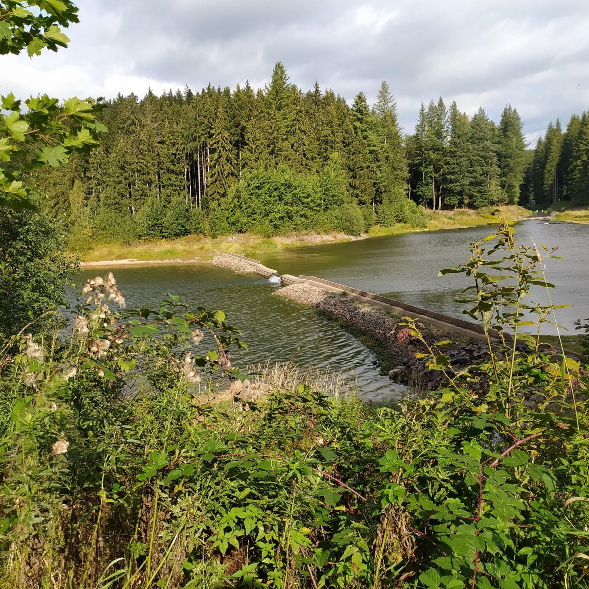
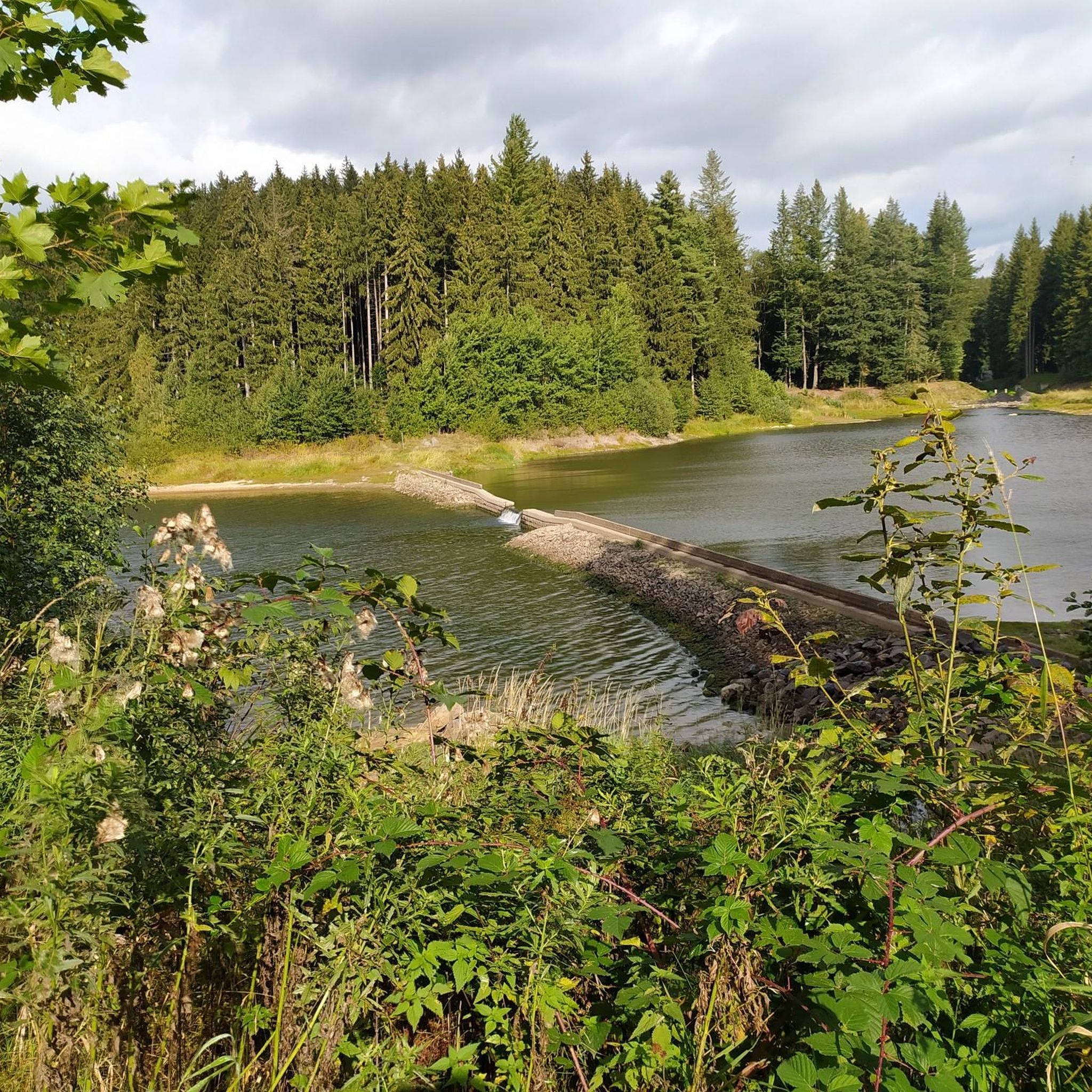
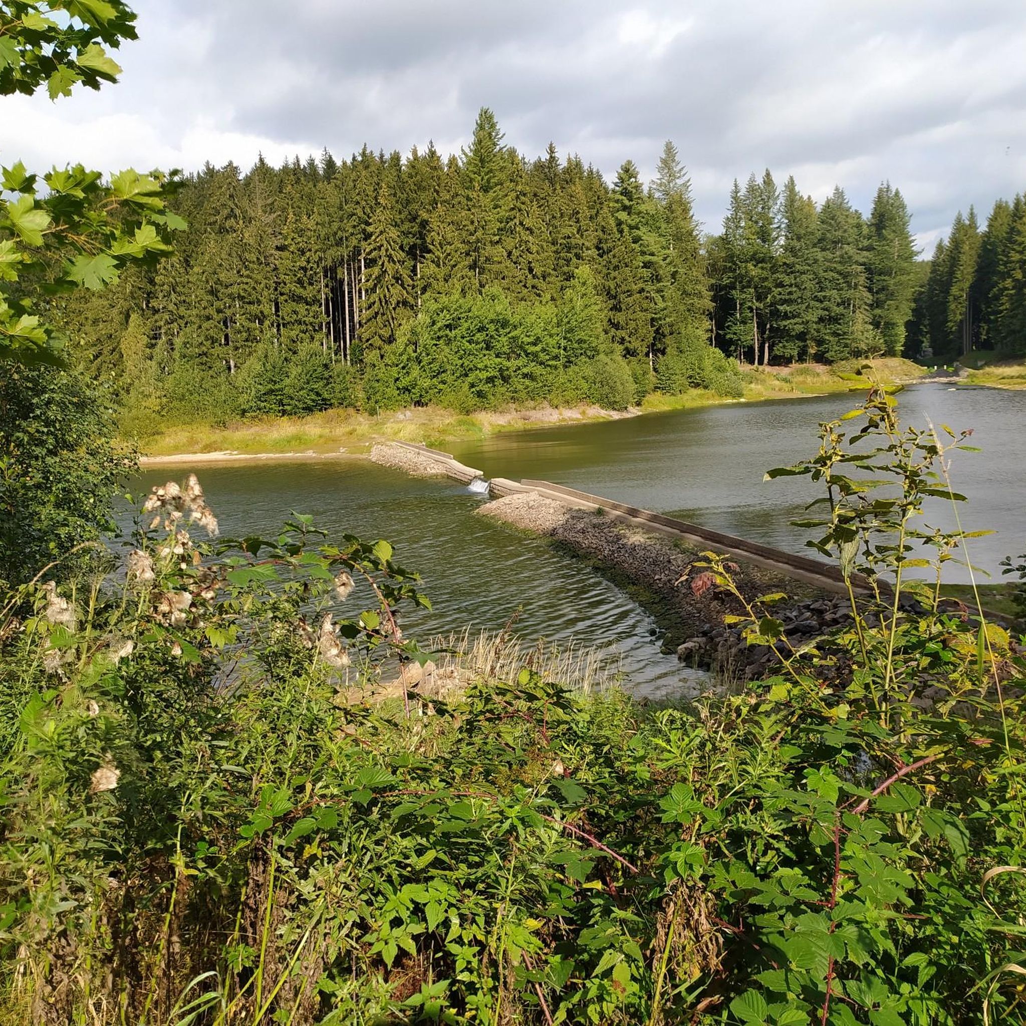
The dam is connected to the Neunzehnhain I and II dams and the Einsiedel dam via canals, pipelines, tunnels, and streams. A charming landscape conservation area of approximately 4,500 hectares extends around the Saidenbach Dam.
4
0
The Saidenbach drinking water reservoir was built between 1929 and 1933 northeast of Pockau-Lengefeld. It dams a total of six tributaries: the Forchheimer Dorfbach, Gründelbach, Haselbach, Hölzelbergbach, Lippersdorfer Bach, and Saidenbach. With over 146 hectares of water surface (22.4 million m³ of water), the reservoir is the largest reservoir in the Central Ore Mountains and also the largest drinking water reservoir in the "Central Ore Mountains" integrated water system. Together with the Einsiedel, Neunzehnhain 1, and Neunzehnhain 2 reservoirs, it provides raw water for the Einsiedel waterworks, which supplies Chemnitz and southern Saxony with drinking water. https://www.wasserwirtschaft.sachsen.de/TS_Saidenbach.html
4
0

a nice corner for a tour
0
1

Attention: The dam is currently completely closed due to cracks in the wall, and will probably remain so for the whole of next year. Update 2024: the path over the top of the wall is open again.
12
0

Incredibly great picnic spot overlooking the reservoir. You can even find seashells 😊
0
2

Place for a picnic at the dam
1
0
Nice place for a picnic at the dam
0
0

Always worth a tour and a break with a view of the dam
0
0
담 사이덴바흐 주변에서 가장 인기 있는 명소


더 살펴보기
찾고 있는 하이라이트를 아직 못 찾으셨나요? 다른 지역의 주요 명소 가이드를 확인해보세요:
