10의 랑제가지 명소 & 주요 장소
Langsee 주변의 명소와 볼거리는 주로 호수와 숲을 중심으로 한 자연 풍경을 특징으로 합니다. 이 지역은 빙하기에 형성된 다양한 지형으로 특징지어지며, 다채로운 야외 활동 경험을 제공합니다. Langsee 자체는 종종 울창한 숲으로 둘러싸여 있어 하이킹과 휴식을 즐길 기회를 제공합니다. 독일과 오스트리아 전역에는 "Langsee" 또는 "Längsee"라는 이름을 공유하는 여러 지역이 있으며, 각 지역마다 고유한 자연 및 문화적 관심사가 있습니다.
Langsee 주변 최고의 명소 및 볼거리
- 가장 인기 있는 명소는 호수의 울창한 해안을 따라 이어지는 트레일인 Langsee 하이킹 트레일입니다. 이 트레일은 물가 풍경을…
마지막 업데이트: 10월 9, 2026
Langsee 산책로
하이라이트 • 트레일
번역자 Google •
팁에 의해

계단과 나무 다리가 있는 Langsee 트레일
하이라이트 (구간) • 트레일
with the stairs. Driving direction from west -> east is appropriate ❗
The first long staircase should be for experienced MTB bikers
do not pose a problem. [Statement: without guarantee ❗] 😀
번역자 Google •
팁에 의해

이런 장소를 발견하려면 지금 가입하세요
최고의 싱글 트랙, 봉우리 및 다양한 흥미로운 야외 장소에 대한 추천을 받아보세요.
랑어 호수를 따라가는 트레일
하이라이트 (구간) • 트레일
번역자 Google •
팁에 의해

랑제 호숫가의 수영장소
하이라이트 • 해변
번역문 보기
팁에 의해

Idstedter See 옆 Grüder Holz 숲
하이라이트 • 숲
번역자 Google •
팁에 의해

무료로 가입하여 랑제 주변의 더 많은 명소를 발견하세요.
이미 komoot 계정이 있나요?
오늘 무료 계정으로 시작하세요
다음 모험이 기다리고 있어요.
커뮤니티 팁

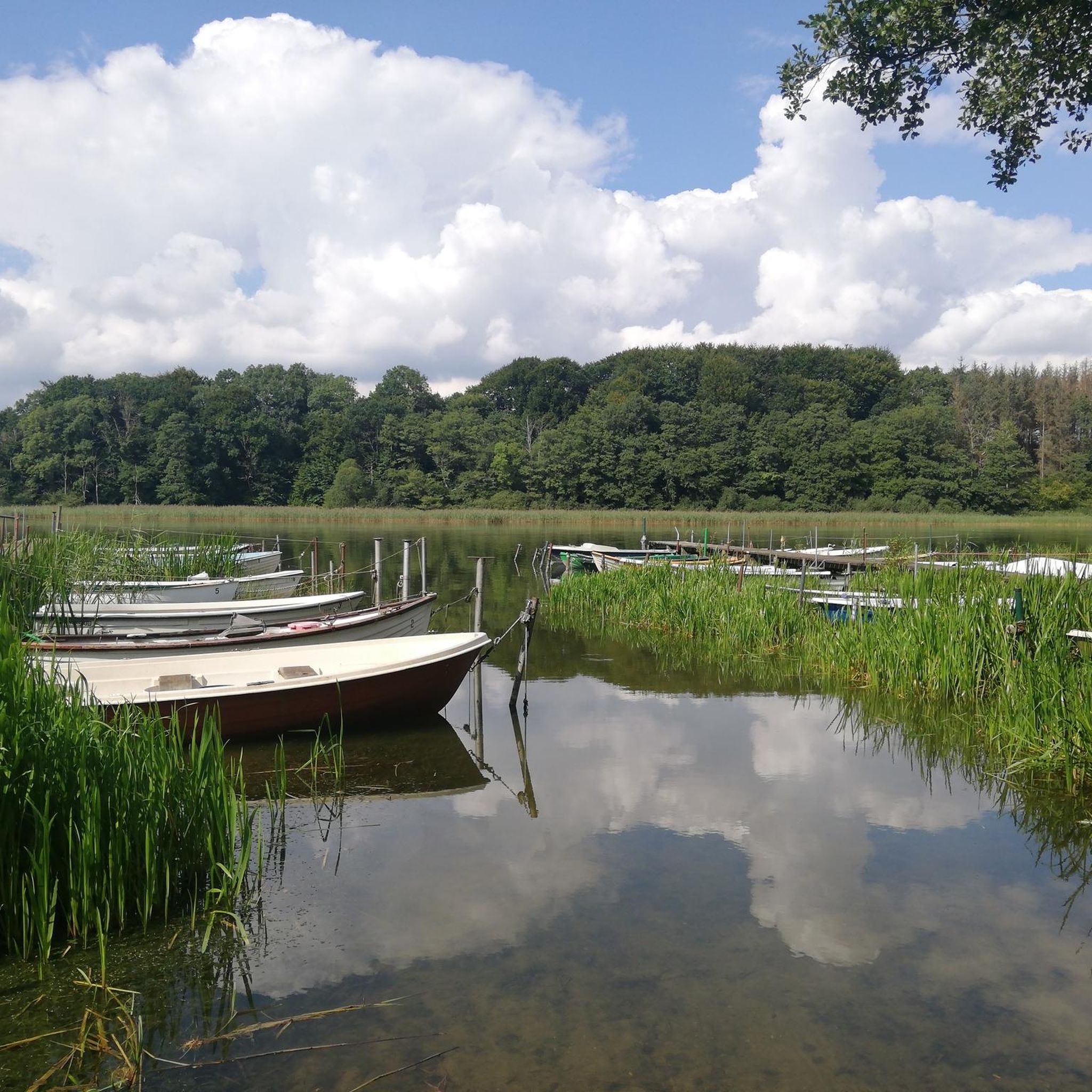
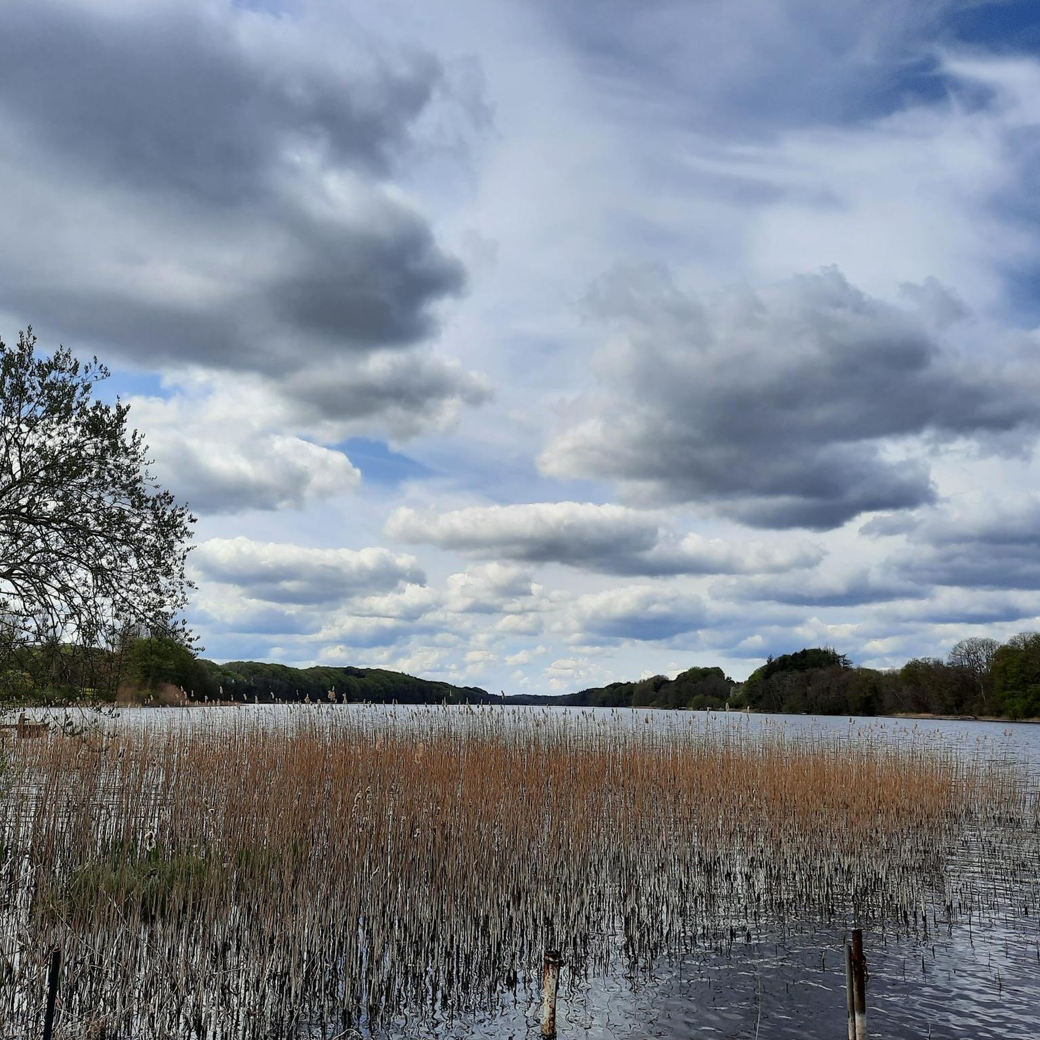
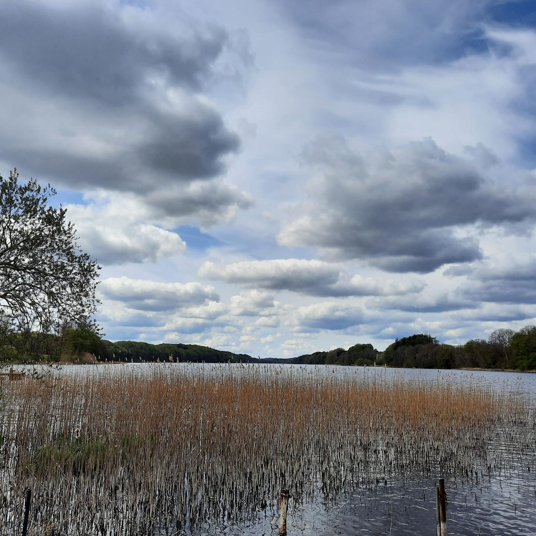
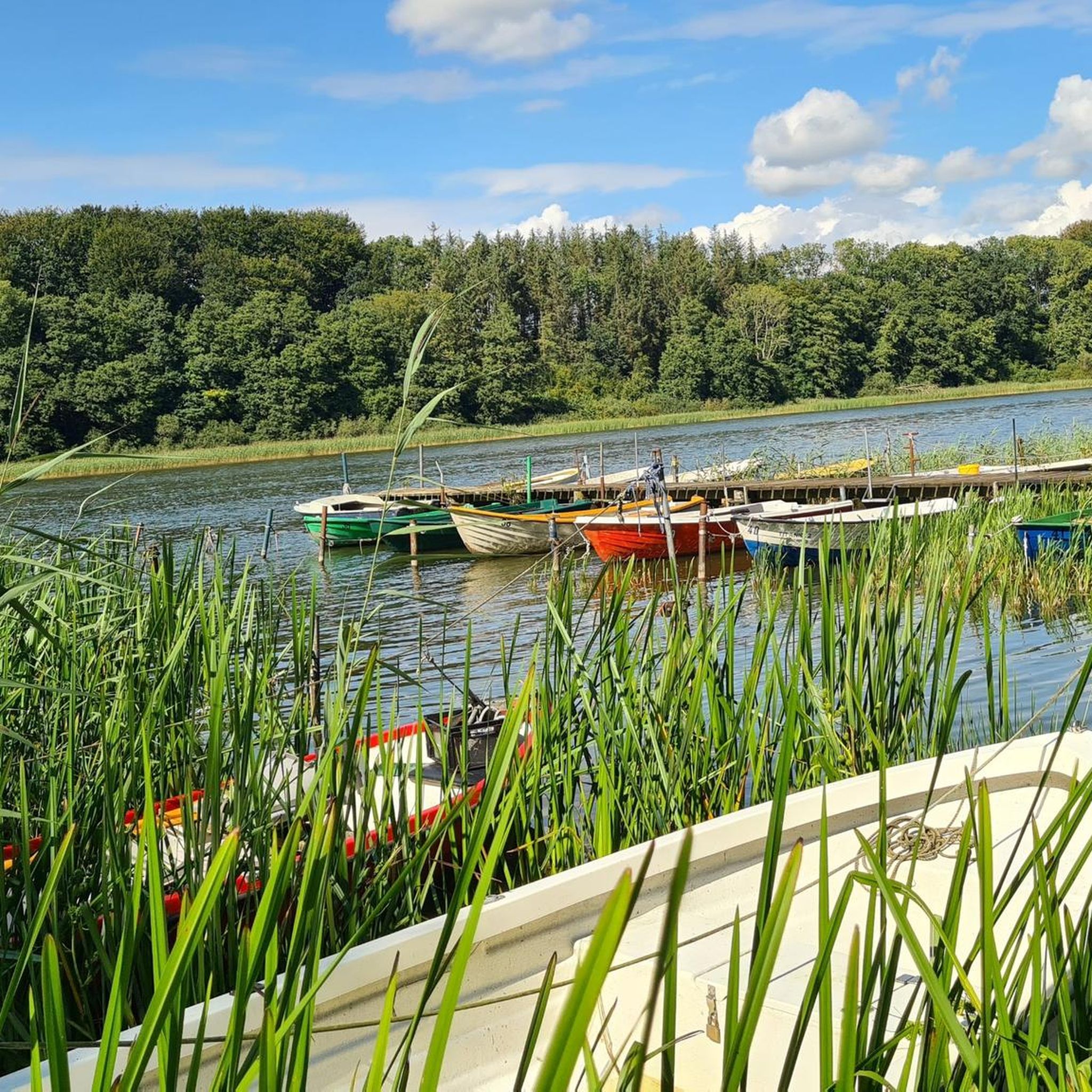
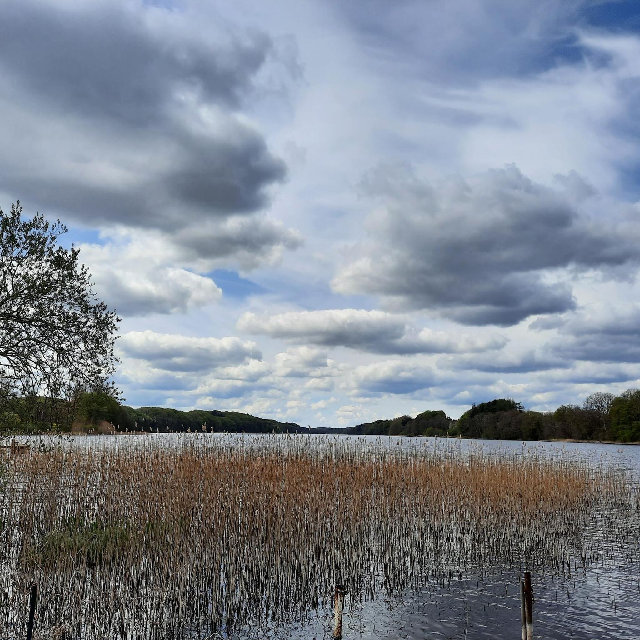
The lake is almost completely surrounded by forest. Here, northwest of the lake, is Grüder Holz. The hiking trail leads picturesquely along the beech forest slope along the forest lake.
4
0

But it is very nice to do it with the tandem just by pushing. From there, the lake seems slightly mysterious, it is easy to bear in the shade, mosquito repellent should be with you.
0
0

The municipality of Süderfahrenstedt has almost 500 inhabitants and is around 8 km north of Schleswig. In the southern part of the municipality is the Langsee, which with its 1.3 km² area and 11.5 km long circumference belongs entirely to the municipality. It is almost completely surrounded by forest and lies in a charming valley landscape shaped by the last ice age. The two circular hiking trails start at the country inn "Zum Langsee" and lead to the north-eastern shore of the lake. The western loop (approx. 9 km) leads past a swimming area, the clubhouse of the Fahrenstedt rifle club and the Schleswig fishing club. Both club headquarters can be used as a place to rest, and a barbecue hut offers protection in bad weather. With the house of the important landscape painter Jan Laß (1890-1958), the two locations where there were two rams for water supply until around 1970, the Lüngmoor and the water lily pond, this path offers further special features that are shown on the information boards. https://www.lag-schlei-ostsee.de/neuer-wanderweg-am-langsee-in-suederfahrenstedt-entschleunigung-und-orientation-through-regional-uniform-signage/#:~:text=Die%20beiden% 20new%20circular%20trails%20start,and%20the%20Angelsportverein%20Schleswig%20past.
5
0


You leave the road and dive into the forest. The Schmale Trail leads directly along the shore. The water is often a few meters lower on the almost vertically falling bank. So feet bathing is nothing. There are wonderful perspectives, old trees and a great panorama. In places the path is difficult to drive and it takes a lot of practice. Sometimes you have to get off your bike to negotiate difficult roots and stairs.
0
0

At high tide it is not possible to get through here.
3
1


The short way from Wellspang through the forest to this bathing area is a bit bumpy and narrow (with panniers) but you will be rewarded with a very nice, quiet bathing area!
1
0
랑제 주변에서 가장 인기 있는 명소


더 살펴보기
찾고 있는 하이라이트를 아직 못 찾으셨나요? 다른 지역의 주요 명소 가이드를 확인해보세요:
