메인 최고의 워킹 & 하이킹 경로
4.8
(1268)
17,717
등산객
1,310
하이킹
메인에서 하이킹하며 미국 구석 부분까지 살펴볼까요? 메인에 있는 모든 하이킹 및 워킹 경로 컬렉션 중 가장 멋진 하이킹 경로를 엄선하여 소개해드릴게요. 다른 하이커가 공유한 실제 팁과 사진을 살펴보고 후기를 읽으며 마음에 드는 메인 워킹 경로를 찾아보세요.
마지막 업데이트: 10월 11, 2026
4.8
(77)
1,168
등산객
6.68km
02:04
190m
190m
This moderate 4.1-mile (6.7 km) hiking loop offers a fantastic blend of Acadia's diverse landscapes, from tranquil waters to rugged peaks. You'll start with a peaceful walk along the Jordan…
4.9
(35)
252
등산객
12.1km
03:39
260m
270m
The Beehive, Gorham Mountain and Ocean Path Loop offers a truly varied hiking experience, transitioning from the gentle coastal strolls of the Ocean Path to the rugged, rung-assisted climbs of…

4.9
(16)
224
등산객
6.03km
01:53
210m
230m
The Acadia Mountain Loop offers an easy hike across 3.7 miles (6.0 km), gaining 699 feet (213 metres) in elevation. Plan for about 1 hour and 53 minutes to complete…
4.8
(4)
120
등산객
3.04km
00:49
40m
40m
The Ocean Path offers an iconic coastal hiking experience in Acadia National Park, tracing the dramatic shoreline with continuous views of jagged pink granite and crashing waves. This easy 1.9-mile…
4.8
(50)
518
등산객
5.85km
01:55
190m
200m
The Gorham Mountain and Beehive Loop Trail in Acadia National Park delivers a memorable journey through varied landscapes, from the forested slopes of Gorham Mountain to the dramatic, iron-rung ascent…
4.8
(56)
436
등산객
4.73km
01:23
130m
140m
The Gorham Mountain Loop Trail in Acadia National Park is a fantastic way to experience diverse scenery and expansive views without a grueling climb. This easy 2.9-mile (4.7 km) hike,…
5.0
(7)
77
등산객
6.87km
02:27
290m
290m
The Pemetic Mountain Loop offers a truly varied hiking experience, taking you from tranquil lakeside paths to rugged mountain ascents. You'll traverse rooted forest trails, steep granite ledges, and rocky…
5.0
(5)
73
등산객
4.49km
01:13
60m
60m
The Ocean Path Trail in Acadia National Park offers a stunning coastal walk, guiding you along Maine's dramatic shoreline from the unique Sand Beach to the scenic Otter Point. You'll…
5.0
(3)
37
등산객
18.2km
07:11
1,080m
1,070m
The Jordan Pond Six-Peak Loop is a demanding 11.3-mile (18.2 km) hike that takes you across six distinct mountain summits in Acadia National Park, offering a comprehensive multi-peak experience. You'll…
5.0
(4)
38
등산객
8.80km
03:49
460m
470m
The Cadillac and Dorr via Dorr North Ridge and Cadillac North Ridge Trail is a challenging and incredibly rewarding hike in Acadia National Park, perfect for those who love a…
더 다양한 경로와 다른 탐험가들의 추천을 살펴보세요.
이미 komoot 계정이 있나요?
투어 추천은 다른 사람들이 komoot에서 완료한 수천 개의 활동을 바탕으로 구성되어 있습니다.
오늘 무료 계정으로 시작하세요
다음 모험이 기다리고 있어요.
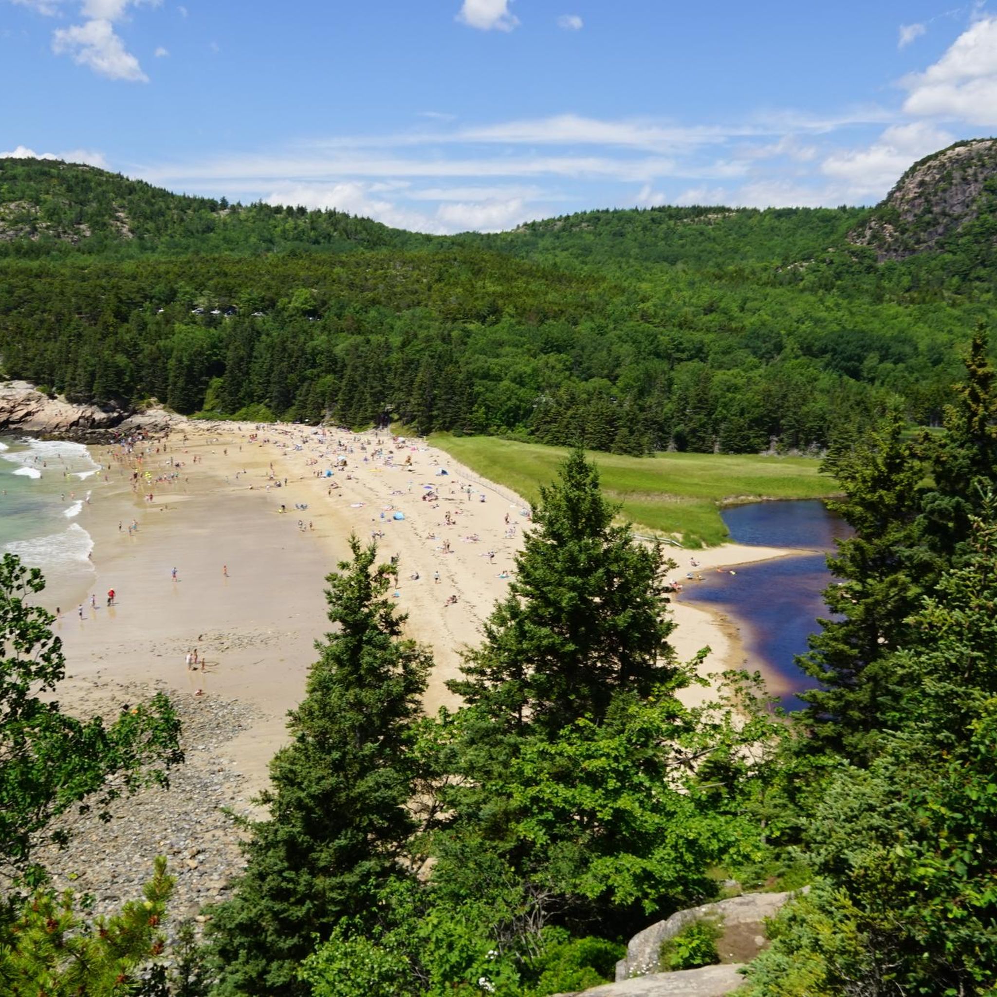
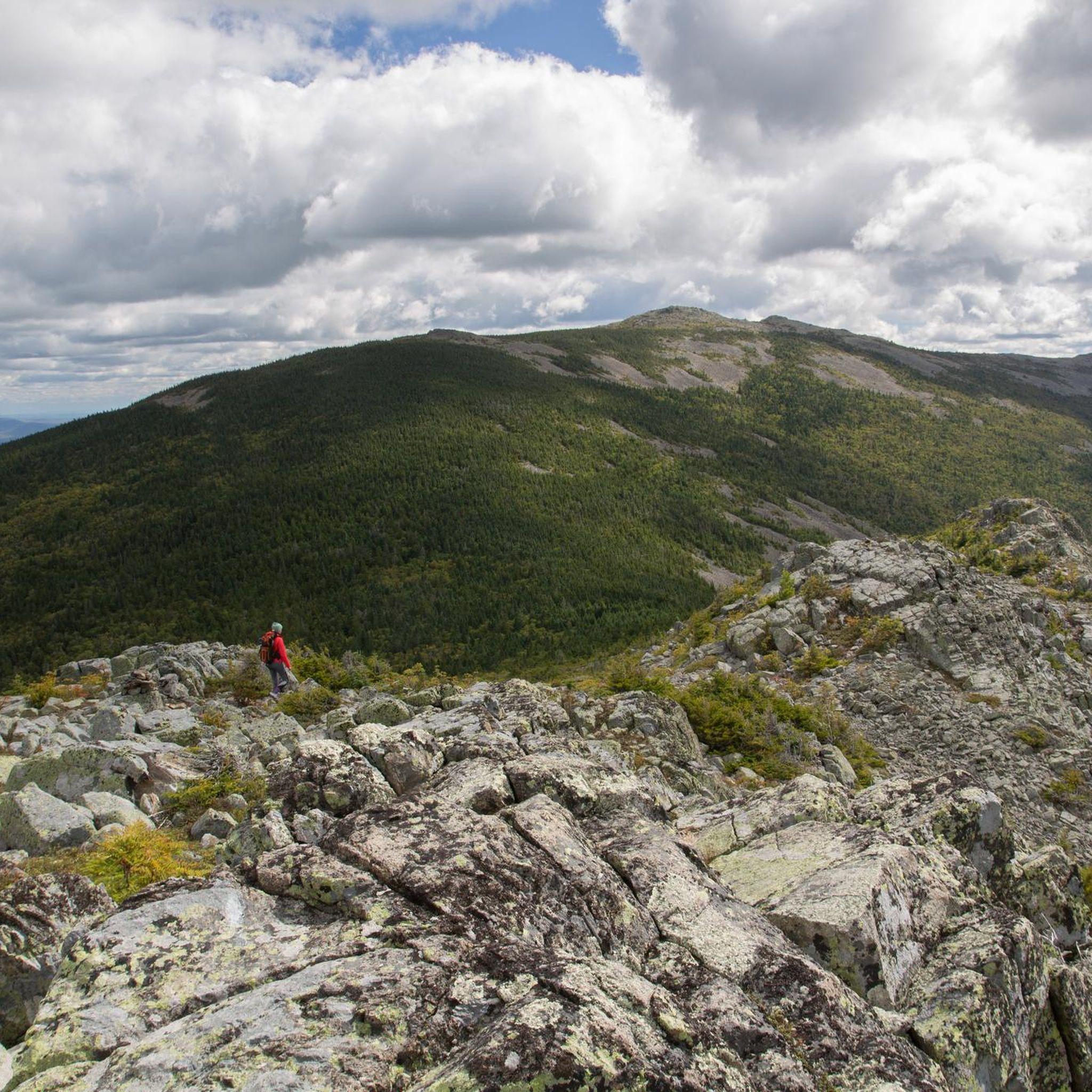
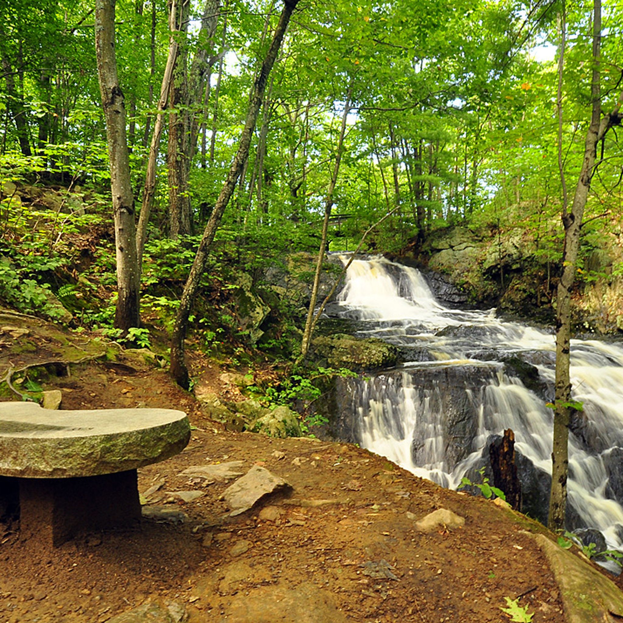
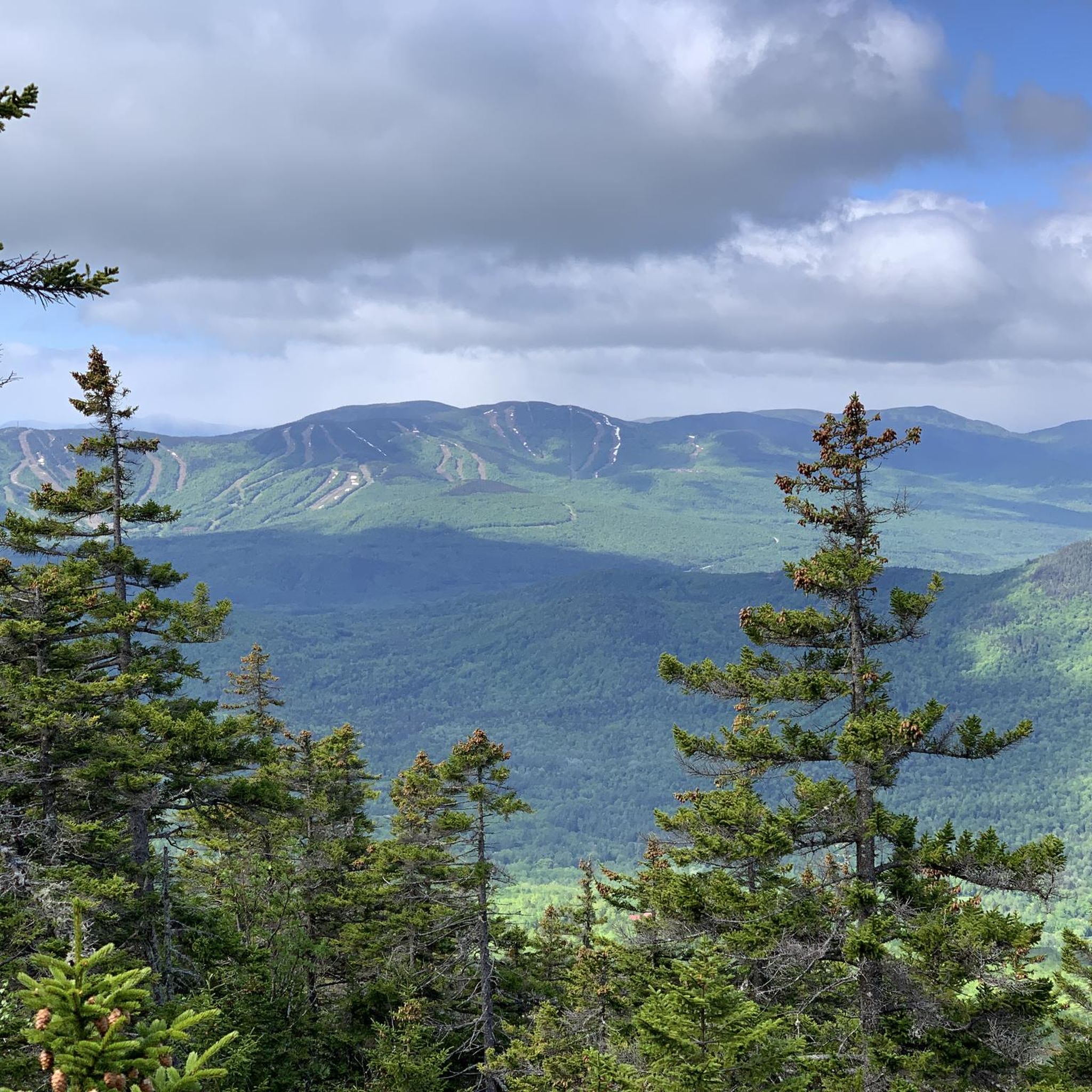

메인의 다른 모험


커뮤니티 팁

Beautiful view
4
0

When ascending Beehive Peak, be sure to go counter-clockwise. There's a sign to that effect on the trail leading to the start. The reason will become clear once you reach the climbing sections and via ferratas. Firstly, the trail is so narrow and winding in places that passing is impossible (even for overtaking). Secondly, there are some climbing sections that are significantly easier to ascend the slope than they would be in the opposite direction.
0
0

You should walk the loop clockwise to choose the ascent of Pemetic Mountain via the steep and rocky west side.
0
0
You should be sure-footed here. It's better to choose the ascent instead.
0
0

Nice stone bridge that takes you over a small creek that juts out from Jordan Pond. The bridge is part of Carriage Trail, and like the road, it is well maintained.
1
0

As you climb the Cadillac-Dorr Connector Trail to the summit of Desert Island's highest mountain, you'll enjoy magnificent views to the north over the Porcupine Islands in French Bay and Dorr Mountain to the east.
2
0


찾고 계신 것을 찾지 못하셨나요?
메인에서 더 많은 하이킹를 확인하고 목적지에서 완벽한 경로를 찾아보세요.
더 살펴보기
다른 지역의 최고의 하이킹를 살펴보세요.
