피스카타퀴스 카운티 최고의 워킹 & 하이킹 경로
4.5
(39)
732
등산객
89
하이킹
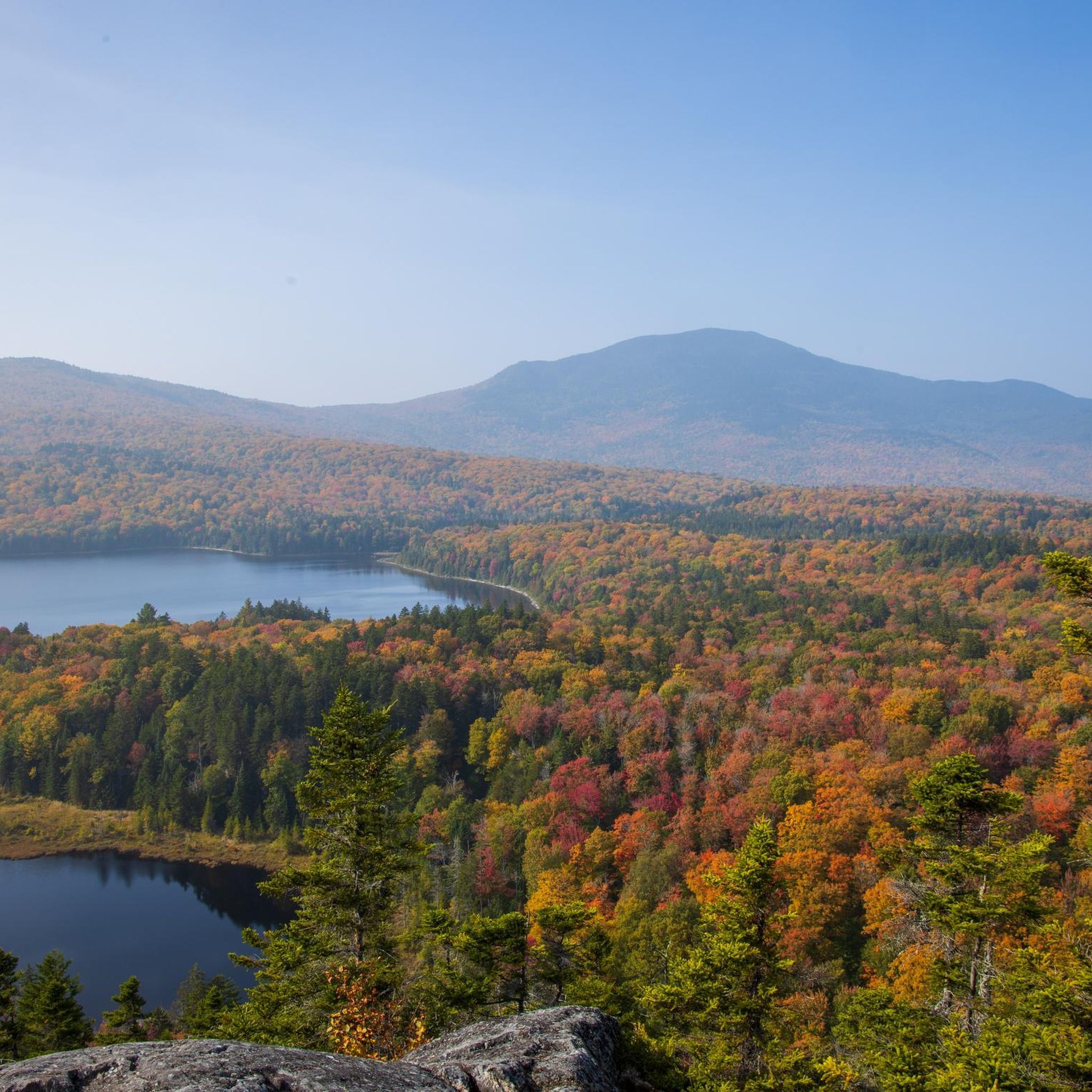
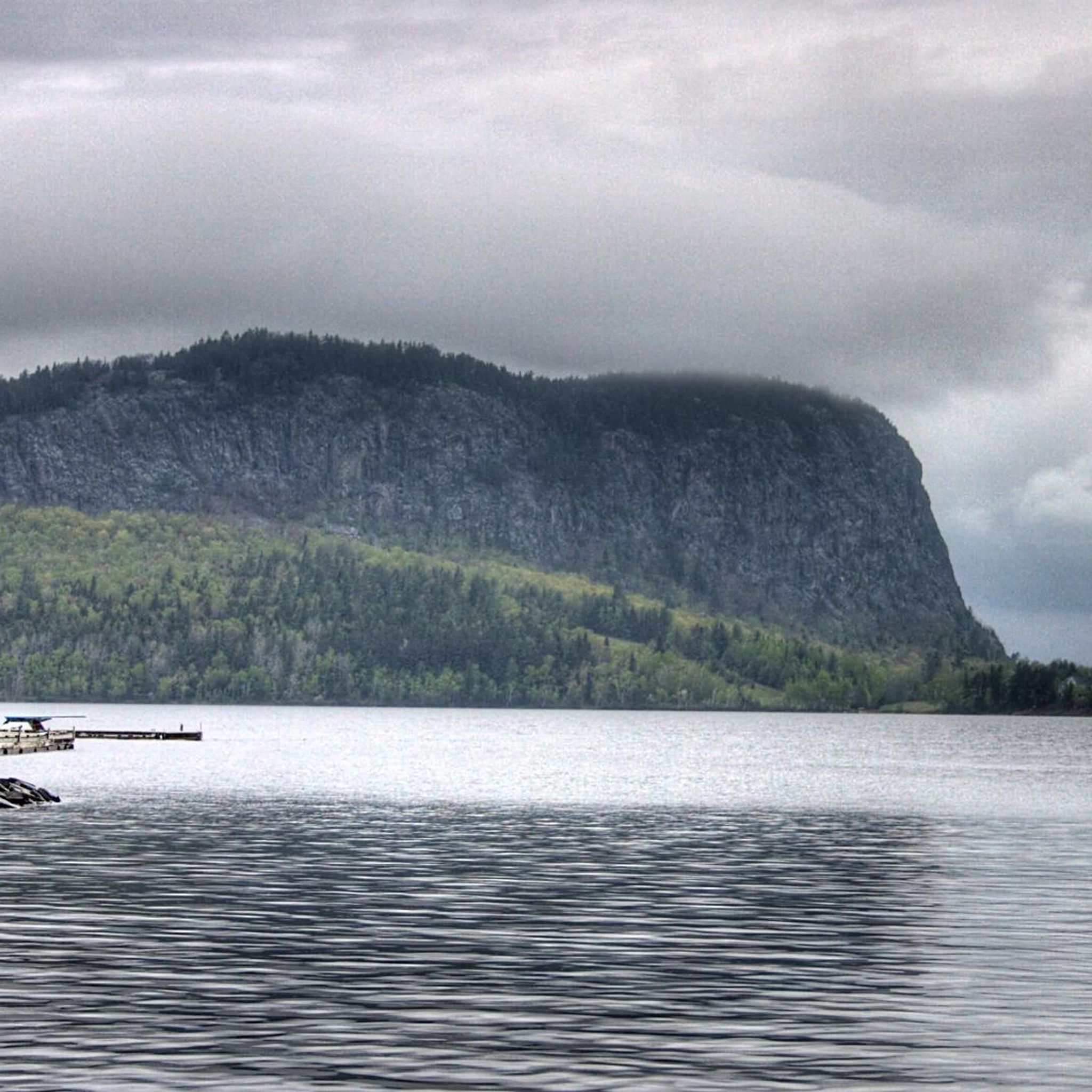
하이킹은 메인주 중부에 위치한 광활한 야생 지대의 풍경을 탐험합니다. 이 지역은 메인주의 최고봉인 카타딘 산(Mount Katahdin)을 비롯한 높은 봉우리들, 무스헤드 호수(Moosehead Lake)와 같은 넓은 호수, 걸프 하가스(Gulf Hagas)와 같은 깊은 강 협곡이 특징입니다. 다양한 지형은 험준한 산악 등반부터 숲이 우거진 호숫가 길까지 다양한 고도와 특징을 제공합니다. 이 지역은 다양한 야외 활동을 위한 포괄적인 트레일 네트워크를 제공합니다.
피스카타퀴스 카운티 최고의 하이킹 트레일
- 가장 인기 있는 하이킹 코스는 Baxter Peak via Saddle and Cathedral Trail로, 6.6마일(10.7km) 길이이며 완료하는 데 4시간 40분이…
마지막 업데이트: 9월 1, 2026
45
등산객
14.8km
07:48
1,190m
1,260m
어려운 하이킹. 우수한 체력 필요. 튼튼한 신발을 신고 미끄러지지 않게 조심해야 하며, 높은 산을 오른 경험이 있어야 함.
5.0
(2)
32
등산객
5.03km
01:30
0m
430m
초급용 하이킹. 모든 체력 수준에 적합. 실력과 관계없이 누구나 쉽게 갈 수 있는 길.

무료 회원 가입
16
등산객
4.30km
01:29
220m
220m
초급용 하이킹. 모든 체력 수준에 적합. 실력과 관계없이 누구나 쉽게 갈 수 있는 길.
2.0
(2)
17
등산객
10.7km
04:40
1,120m
690m
어려운 하이킹. 우수한 체력 필요. 실력과 관계없이 누구나 쉽게 갈 수 있는 길.
5.0
(1)
7
등산객
7.46km
03:23
720m
710m
보통 하이킹. 좋은 체력 필요. 실력과 관계없이 누구나 쉽게 갈 수 있는 길.
6
등산객
10.9km
03:02
210m
210m
보통 하이킹. 좋은 체력 필요. 실력과 관계없이 누구나 쉽게 갈 수 있는 길.
6
등산객
4.80km
03:22
1,010m
0m
어려운 하이킹. 우수한 체력 필요. 튼튼한 신발을 신고 미끄러지지 않게 조심해야 하며, 높은 산을 오른 경험이 있어야 함.
3
등산객
7.95km
02:03
30m
40m
보통 하이킹. 좋은 체력 필요. 실력과 관계없이 누구나 쉽게 갈 수 있는 길.
2
등산객
4.55km
01:20
110m
150m
초급용 하이킹. 모든 체력 수준에 적합. 실력과 관계없이 누구나 쉽게 갈 수 있는 길.
2
등산객
6.37km
02:04
10m
750m
보통 하이킹. 좋은 체력 필요. 실력과 관계없이 누구나 쉽게 갈 수 있는 길.
더 다양한 경로와 다른 탐험가들의 추천을 살펴보세요.
무료 회원 가입
이미 komoot 계정이 있나요?
투어 추천은 다른 사람들이 komoot에서 완료한 수천 개의 활동을 바탕으로 구성되어 있습니다.
오늘 무료 계정으로 시작하세요
다음 모험이 기다리고 있어요.
로그인 또는 가입하기

커뮤니티 팁

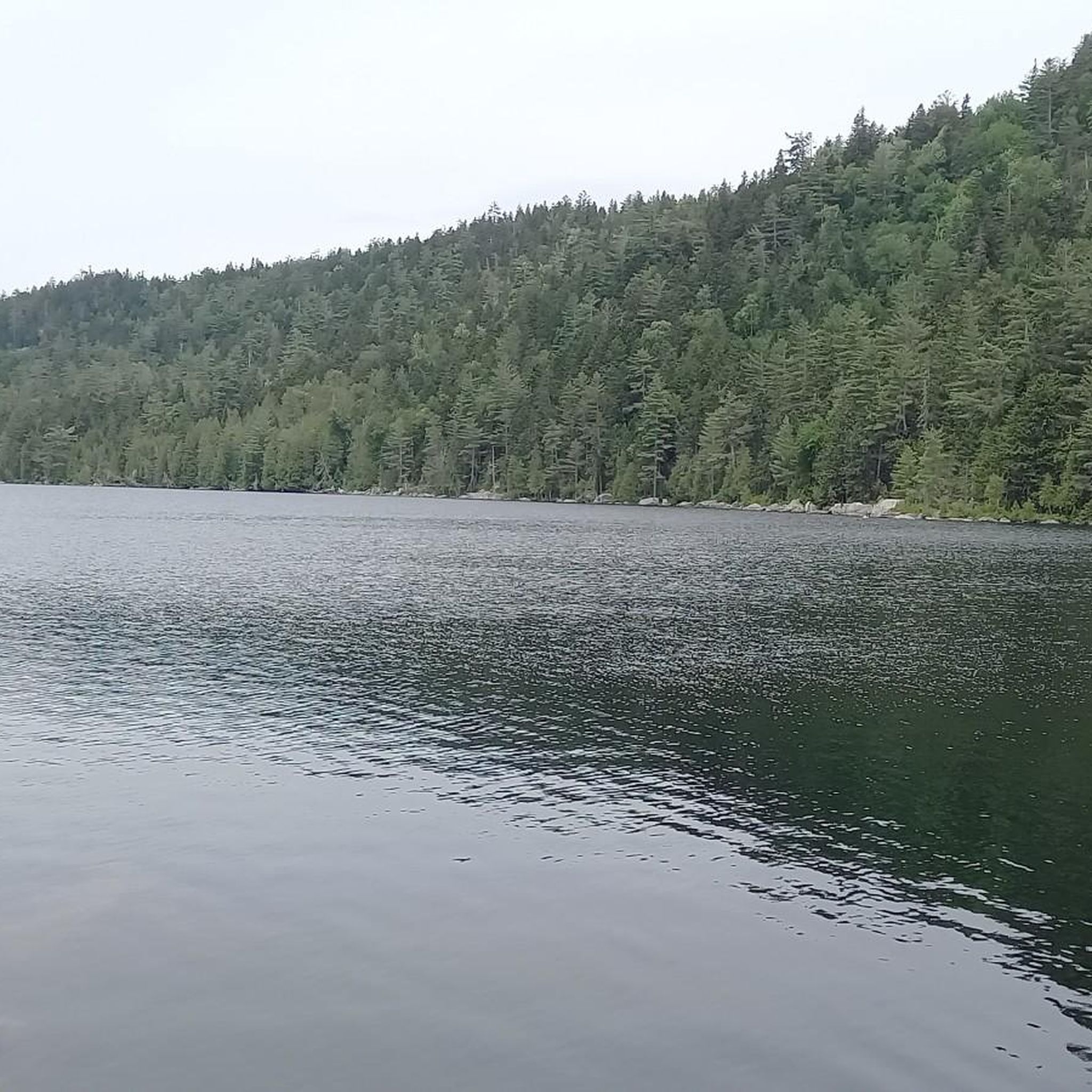
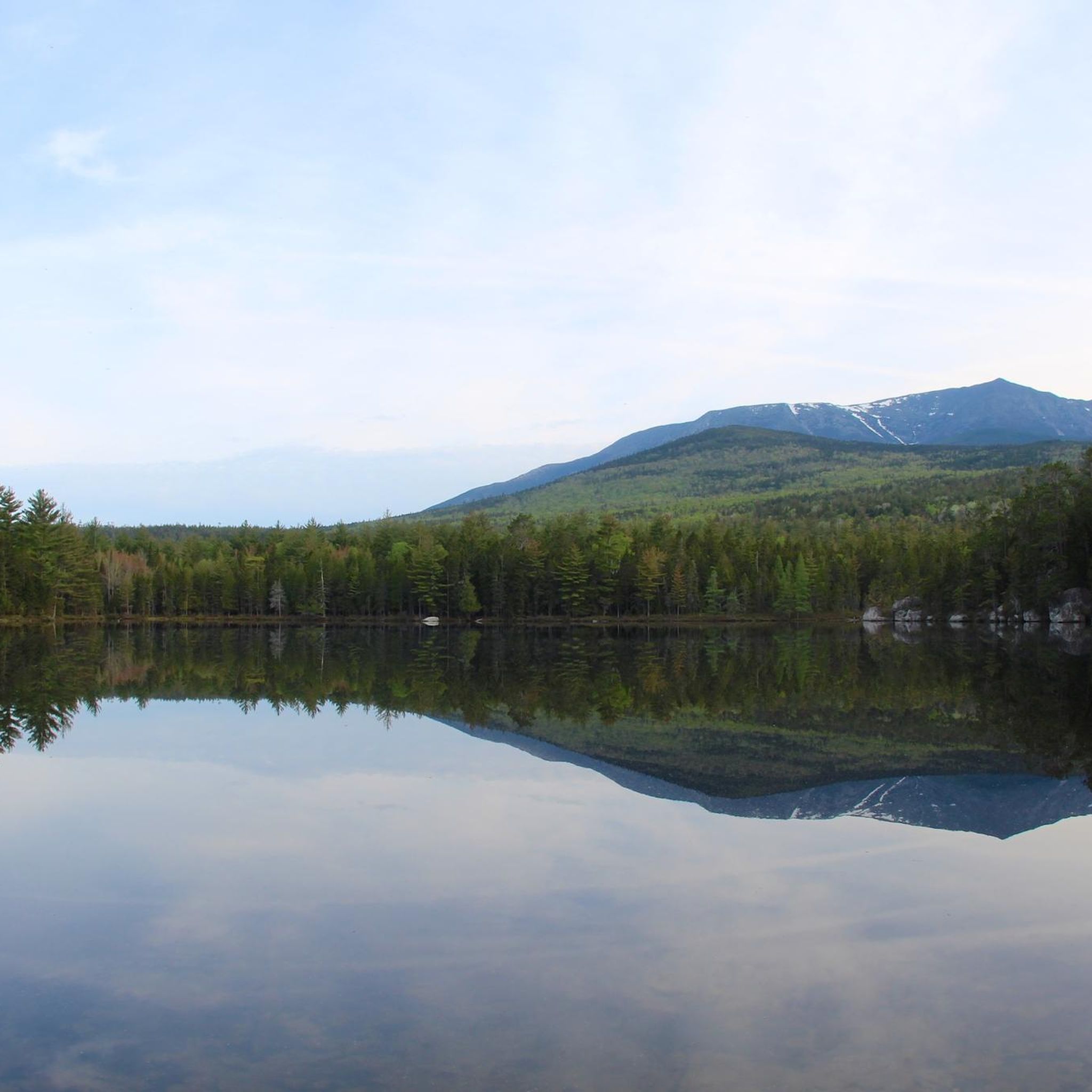
The Basin Ponds are a set of two alpine lakes situated within the spectacular Baxter State Park in Maine. They are surrounded by beautiful spruce, fir and some deciduous shrubs and the water quality is very good so you're welcome to bring along your bathing suits and take a dip.
0
0

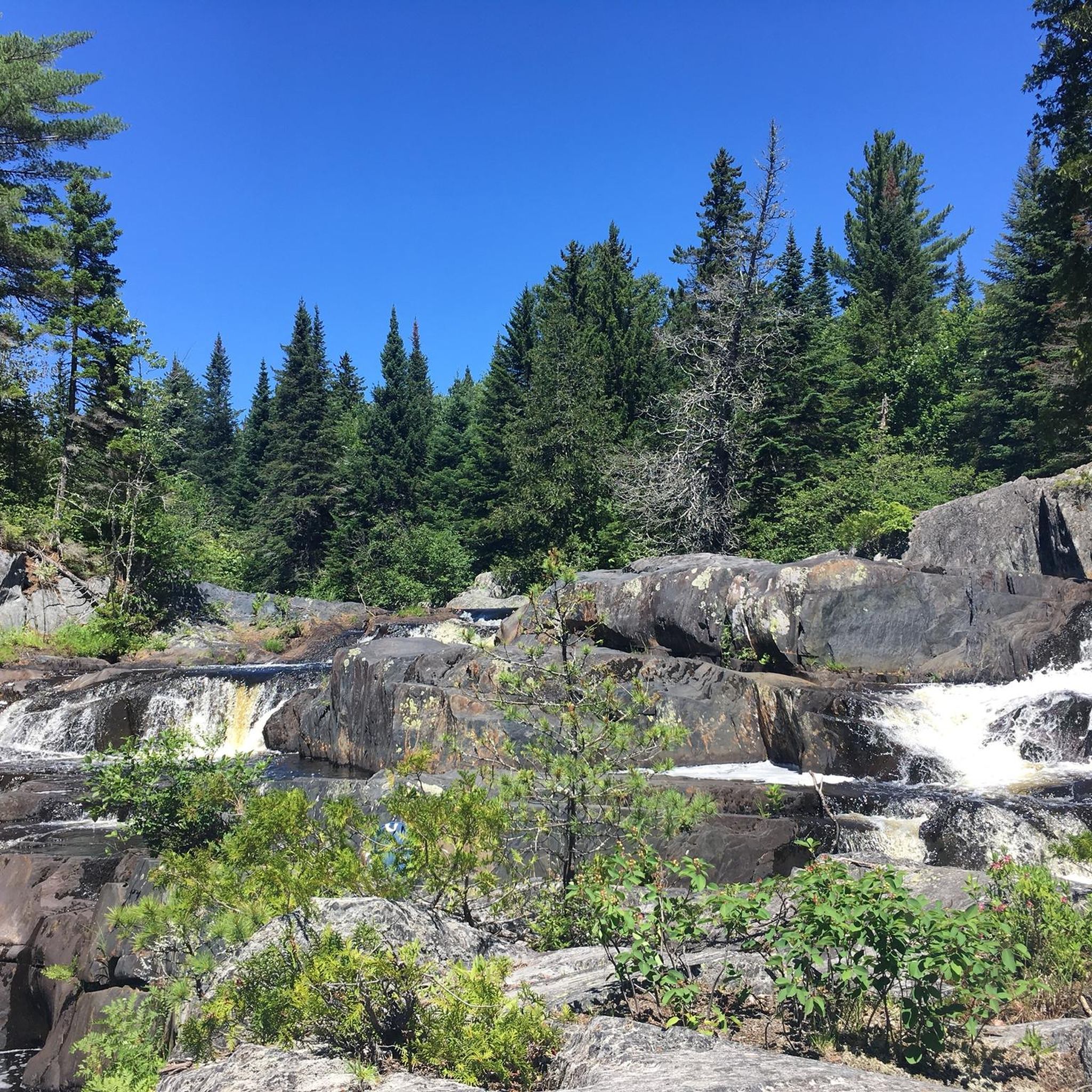
The Rim Trail follows the Pleasant River as it drops over 400 feet through a gorge, creating a series of epic waterfalls. The trail is technical and you can expect to climb over root steps and large boulders in places. This is best treated as an adventure run, since you ought to stop and follow the side trails to the river to take in the views of the gorge.
0
0
There is good parking at the Gulf Hagas Lower Trailhead, which has two bathrooms and access to both the AT and Rim Trail. The Hermitage is a preserve containing 150-year old white pines along the river, and is one of few such undisturbed areas in the Northeast.
0
0

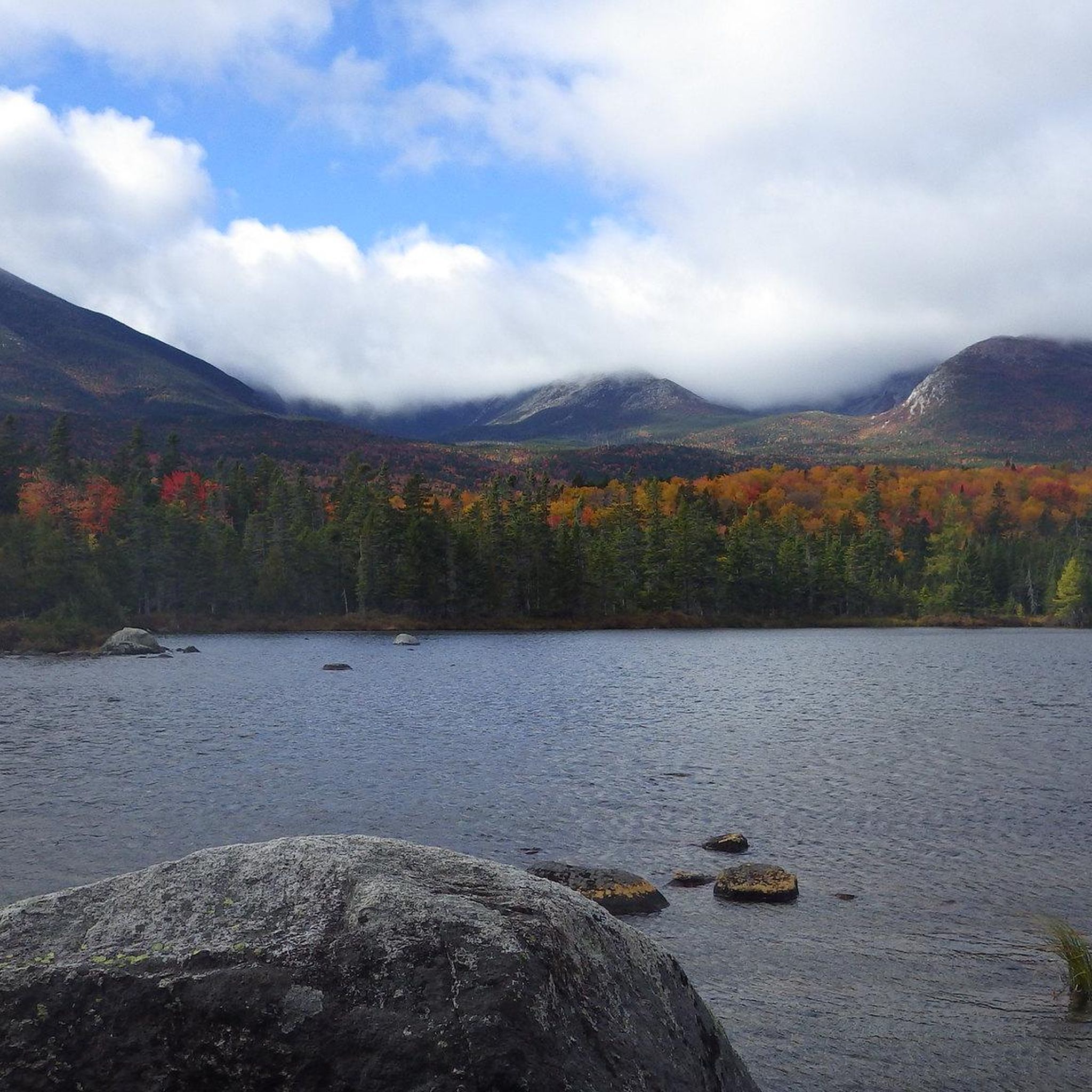
This is the northern end of the famed 2,135 mile Appalachian Trail. It ends at the highest of three peaks on Mount Katahdin: Baxter Peak at 5,268 feet. It is also the tallest mountain in the state of Maine. Katahdin literally means Greatest Mountain. Around the mountain, you can find black bear, deer, moose, a unique butterfly called Katahdin Arctic and lots of birds. A famous route is the so-called Knife´s Edge between Baxter Peak and Pamola Peak. Don´t underestimate the weather on Katahdin, it can be dangerous with slippery passages when snowed on or if sight is limited. Trails may be closed for periods due to weather and winter conditions.
0
0

Chimney Pond is a beautiful pond with a campground at the foot of Mount Katahdin. You get great views over the water to the dramatic cliffs above. This is a great spot to eat a snack and admire the views.
0
0

Bring your 10 essentials - forecasted clear day in the upper 60s ended up foggy, very windy and in the upper 40s
0
1

Of of the greatest hike in eastern North Americal.
0
1
This is the northern end of the famed 2,135 mile Appalachian Trail. It ends at the highest of three peaks on Mount Katahdin: Baxter Peak at 5,268 feet. It is also the tallest mountain in the state of Maine. Katahdin literally means Greatest Mountain. Around the mountain, you can find black bear, deer, moose, a unique butterfly called Katahdin Arctic and lots of birds. A famous hike is the so-called Knife´s Edge between Baxter Peak an Pamola Peak. Don´t underestimate the weather on Katahdin, it can be dangerous with slippery passages when snowed on or if sight is limited. Trails may be closed for periods due to weather and winter conditions during October and November. AT hikers should complete their Katahdin summit hike before October 15.
5
0
피스카타퀴스 카운티에서 가장 인기 있는 명소


찾고 계신 것을 찾지 못하셨나요?
피스카타퀴스 카운티에서 더 많은 하이킹를 확인하고 목적지에서 완벽한 경로를 찾아보세요.
더 살펴보기
다른 지역의 최고의 하이킹를 살펴보세요.
