아이다호 최고의 워킹 & 하이킹 경로
4.7
(279)
5,742
등산객
717
하이킹
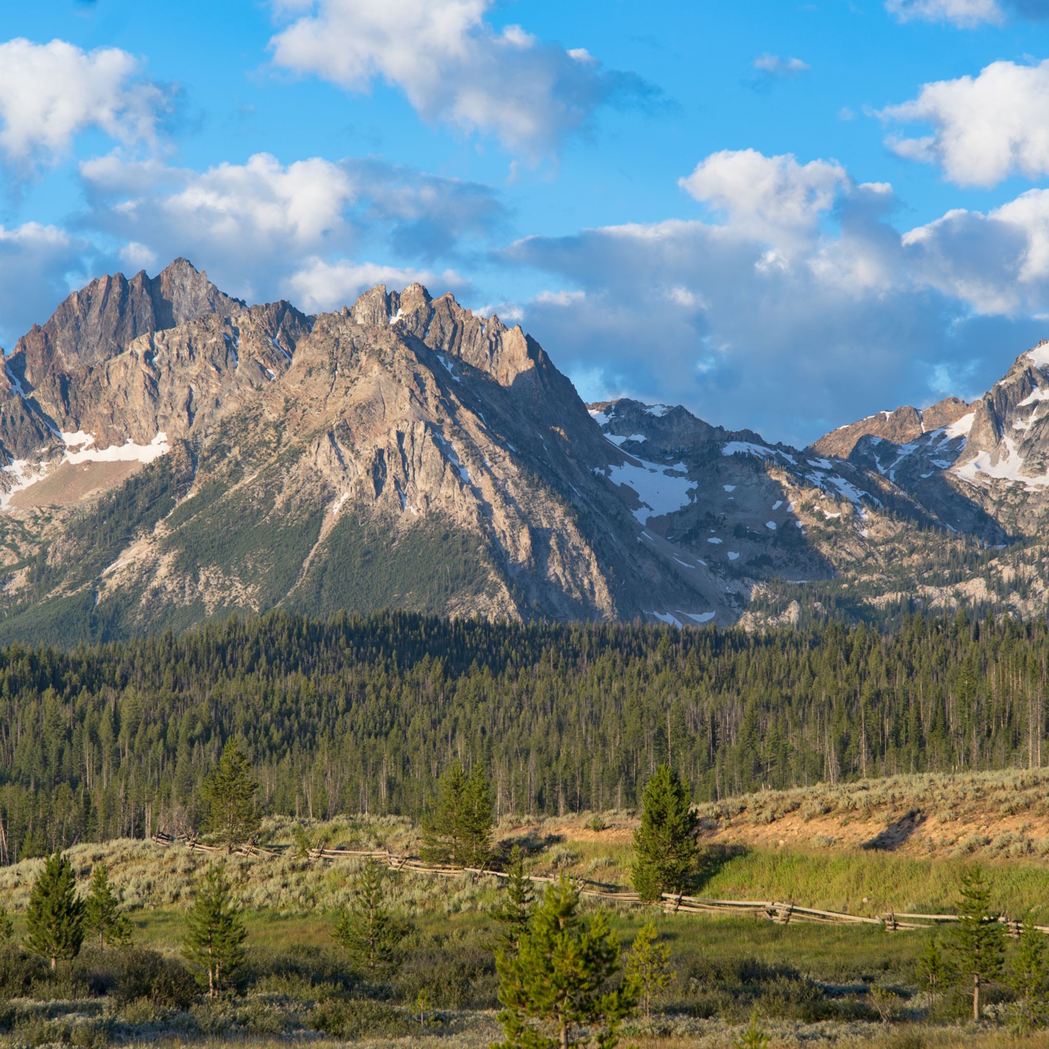
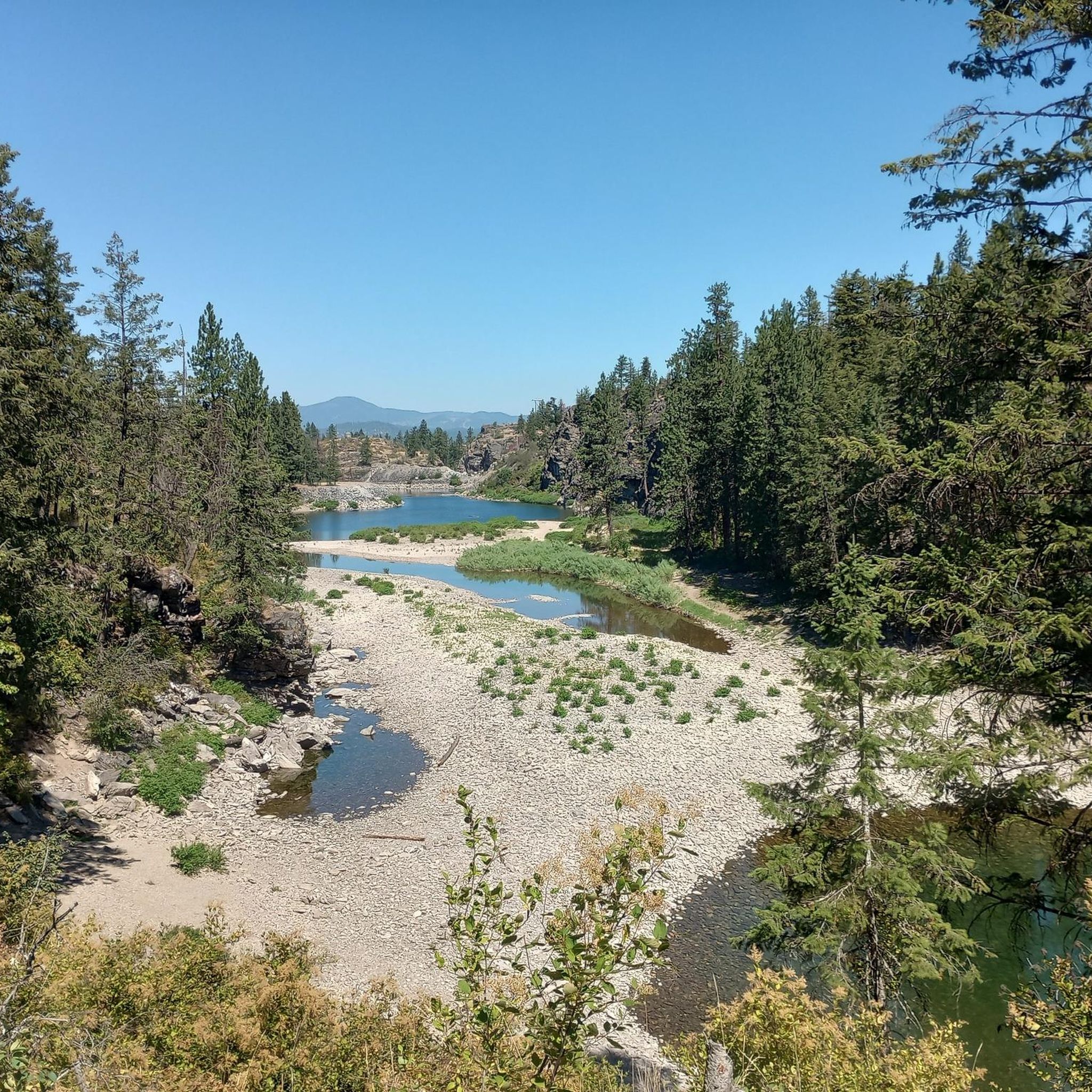
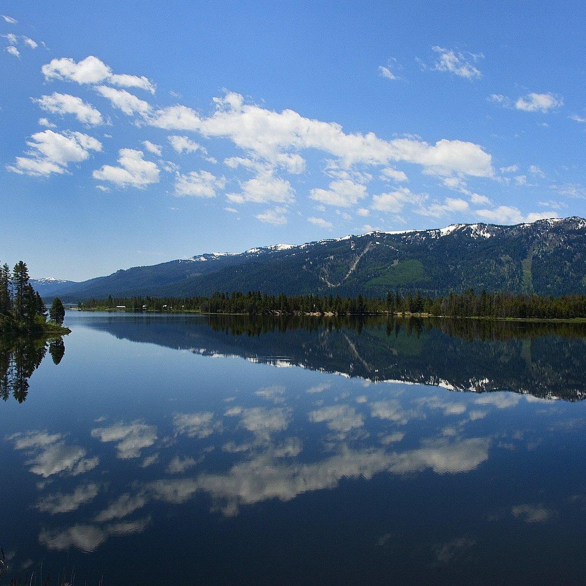
아이다호에서의 하이킹은 광활한 황야 지역, 우뚝 솟은 산, 울창한 숲, 수많은 호수와 강으로 특징지어지는 다양하고 거친 자연 풍경을 제공합니다. 이 주는 헬스 캐니언(Hells Canyon)과 같은 극적인 강 협곡, 달의 분화구(Craters of the Moon)의 독특한 화산 지형, 그리고 톱니 모양 산맥(Sawtooth Mountains)의 상징적인 봉우리와 고산 호수를 특징으로 합니다. 이 다양한 지형은 다양한 고도와 환경에 걸쳐 광범위한 하이킹 경험을 제공합니다. 광범위한 트레일 네트워크는 부드러운 산책부터 도전적인 산악 등반까지 다양한 능력 수준에 맞는 옵션을 제공합니다.
아이다호 최고의 하이킹 트레일
- 가장 인기 있는 하이킹 경로는 1시간 37분 소요되는 3.0마일(4.77km) 길이의 테이블 록 전망대 루프 — 리지 투 리버스 관리 구역(Table Rock Viewpoint loop — Ridge to Rivers Management Area)입니다. 이 루프는 주변 풍경에 대한 파노라마 전망을 제공합니다.
- 현지 하이커들 사이에서 또 다른 인기 코스는 맥이웬 공원(McEuen Park)에서 출발하는 쉬운 2.4마일(3.85km) 경로인 터브스 힐 메인 루프 — 쿠어달렌, 아이다호(Tubbs Hill Main Loop from McEuen Park — Coeur d'Alene, Idaho)입니다. 이 경로는 쿠어달렌 호수(Lake Coeur d'Alene) 해안을 따라 그림 같은 경치를 제공합니다.
- 현지 하이커들은 또한 톱니 모양 산맥 황야 지역(Sawtooth Wilderness Area)을 통과하는 9.2마일(14.81km) 길이의 톱니 모양 및 고산 호수 — 아이언 크릭-스탠리 호수 트레일헤드 — 톱니 모양 황야 지역(Sawtooth and Alpine Lakes — Iron Creek-Stanley Lake Trailhead — Sawtooth Wilderness Area)을 좋아하며, 이 코스는 종종 약 4시간 33분 안에 완료됩니다.
- 아이다호에서의 하이킹은 고산 호수, 깊은 강 협곡, 화산 지형으로 정의됩니다. 광범위한 트레일 네트워크는 다양한 능력 수준에 맞는 옵션을 제공합니다.
- 아이다호의 경로는 komoot 커뮤니티에서 200개 이상의 리뷰에서 평균 4.7점의 높은 평가를 받고 있습니다. 4000명 이상의 하이커가 komoot을 사용하여 아이다호의 다양한 지형을 탐험했습니다.
마지막 업데이트: 9월 27, 2026
5.0
(3)
60
등산객
15.5km
04:51
600m
330m
The Bench Lakes Trail offers a diverse journey through Idaho's Sawtooth National Forest, leading you to a chain of five pristine alpine lakes nestled beneath jagged peaks like Mount Heyburn. You'll traverse forested ridges with spellbinding views of Redfish Lake, cross Fishhook Creek, and climb onto a ridge line that opens up to the stunning mountain panorama. The initial sections are well-maintained, but if you venture beyond the second lake, expect significantly more rugged terrain, including blowdown and overgrowth, making it a true choose-your-own-adventure for varying skill levels.
This moderate hiking route covers 9.6 miles (15.5 km) with 1954 feet (595 metres) of elevation gain, typically taking around 4 hours and 50 minutes. You can access the trailhead near Redfish Lake Lodge, with the option to take a boat shuttle across Redfish Lake to shorten the initial walk. Remember that self-administered wilderness permits are required and available at the trailhead. The best time to hike is from late spring to early fall, though snow can persist at higher elevations early in the season.
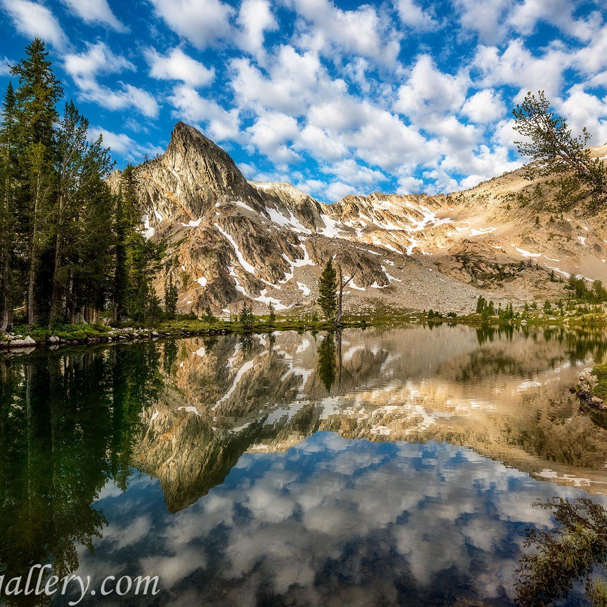
One of the standout features of this trail is the series of five distinct alpine lakes, each reflecting the dramatic Sawtooth mountain range. Keep an eye out for wildlife, as elk and deer are often spotted along the route. The trail's versatility, from relatively easy access to the first two lakes to a more challenging off-trail experience for the full five, makes it a popular choice for those seeking both scenic beauty and a sense of wilderness exploration in the Sawtooths.
5.0
(3)
42
등산객
6.46km
02:14
370m
360m
The Taylor Canyon Loop offers a dynamic hiking experience, transitioning from shaded aspen forests to open meadows and sagebrush grasslands. As you climb, you'll be rewarded with panoramic views of Idaho's mountain ranges and snow-capped peaks, making the moderate 4.0-mile (6.5 km) distance and 1204 feet (367 metres) of elevation gain well worth the effort. Expect to spend around 2 hours and 13 minutes on this varied route, which includes some rocky sections and steep switchbacks.
Planning your Taylor Canyon Loop hiking adventure is straightforward, as the trail is typically open from April to October, with May being ideal for wildflowers and autumn for vibrant foliage. This is a dog-friendly trail, so your leashed canine companion can join you. Always check local conditions, especially in early spring, as some sections might still have snow or mud.
Located in the Sawtooth National Forest, this route is known for its diverse flora, including aspens and pines, and offers opportunities for wildlife spotting, such as deer and coyotes. It provides a fantastic opportunity to experience the natural features of Idaho's mountain landscape, making it one of the popular trails for those seeking stunning viewpoints and a good workout.

5.0
(1)
40
등산객
2.92km
01:11
280m
10m
Embark on a moderate hike along the Goldbug Hot Springs Trail, a rewarding journey through Idaho's Salmon-Challis National Forest. This route covers 1.8 miles (2.9 km) and climbs 908 feet (277 metres), typically taking about 1 hour and 11 minutes to complete. You'll navigate steep switchbacks at the start, which soon give way to flatter sections winding through sagebrush. As you ascend, the terrain becomes rockier, passing through open scrub and stands of evergreens. The ultimate reward is reaching the Goldbug Hot Springs, where terraced, waterfall-fed pools offer expansive views of the valley and mountains.
When planning your visit, be aware that trail conditions can change significantly with the seasons. Winter often necessitates crampons due to icy patches, while spring can make the trail muddy from thawing snow. Sturdy hiking shoes are highly recommended year-round to handle the steep and rocky sections. Remember that the initial part of the trail crosses private property via an easement, so please respect the land as you pass through.
This trail is particularly notable for its natural hot springs, providing a unique opportunity to relax in warm, mineral-rich waters amidst a stunning natural setting. Beyond the springs, you might also discover the historic Cabin Ruins, adding a touch of the past to your outdoor adventure. The blend of challenging terrain and serene natural beauty makes this a memorable hike in the region.
28
등산객
7.76km
02:31
530m
0m
The Sawtooth Lake via Iron Creek Trail offers a truly rewarding experience, winding through thick lodgepole pine forests before opening up to reveal the dramatic craggy peaks of the Sawtooth Mountain range. You'll pass the stunning Alpine Lake, nestled in a granite bowl, before reaching the deep blue waters of Sawtooth Lake itself, framed by the towering Mount Regan. This 4.8-mile (7.8 km) hike, with its 1745 feet (532 metres) of elevation gain, is a moderate challenge that feels less strenuous thanks to the continuous spectacular views.
Plan your visit between July and September for the best conditions, as snow can linger at higher elevations outside this window. The Iron Creek-Stanley Lake Trailhead is your starting point, and arriving early is recommended, especially on weekends, as this popular trail can see many visitors. Dogs are welcome, but be aware of leash regulations in effect from July 1st to Labor Day.
This route is a standout in the Sawtooth National Recreation Area, offering a quintessential alpine wilderness experience. Its accessibility and relatively straightforward path to a magnificent alpine lake make it a highly sought-after adventure, showcasing pristine environments and dramatic geological features like Mount Regan and Alpine Peak.
5.0
(3)
32
등산객
9.47km
02:35
120m
170m
Embark on the Hawkins Reserve Loop, a moderate hiking route that guides you through the open and scenic terrain of the Boise Foothills. You will follow flowing singletrack paths across exposed hillsides, offering expansive views of the surrounding landscape. The trail is particularly vibrant and green in May, and if you time your visit right, you can experience spectacular sunset vistas. This loop covers 5.9 miles (9.5 km) with a total elevation gain of 392 feet (119 metres), typically taking about 2 hours and 34 minutes to complete.
When planning your hike, note that the Hawkins Reserve Loop is directional; you must travel counter-clockwise. The paved trailhead offers convenient parking, including spaces for horse trailers, and you will find a restroom available. Be aware of seasonal closures from December 1 to April 30, which are in place to protect local wildlife habitats. Additionally, specific dog leash requirements are enforced between May 1 and June 15 to safeguard elk calving areas.
This trail provides an excellent opportunity to explore the natural beauty of the Boise Foothills within the Hawkins Range Reserve. The exposed hillsides, while offering broad views, are also where you might encounter minor rock formations along the generally well-maintained path. The reserve's commitment to wildlife protection means that understanding and respecting the seasonal rules helps preserve this unique environment for everyone.
29
등산객
14.2km
04:19
480m
390m
Embark on the Kepros Mountain Trail, a moderate hiking route that spans 8.8 miles (14.2 km) and climbs 1590 feet (485 metres) over an estimated 4 hours and 19 minutes. As you ascend, you will be treated to expansive panoramic views from the ridges and summit, showcasing the city of Boise, Lucky Peak Reservoir, and the impressive Boise and Trinity Mountains. The trail offers a rewarding experience for those seeking a good workout with scenic payoffs.
When you plan your visit, remember that the trail has no water sources and very little shade, so you should carry plenty of supplies. The path is not always clearly marked, so having navigational skills or a reliable GPS app will be helpful to stay on course. It is best to avoid this area during the fall hunting season, though it makes for an excellent early-season hike.
Located within the vast Boise National Forest, this trail is notable for its natural beauty and potential wildlife sightings. In May, the hillsides come alive with vibrant wildflowers, creating a colorful landscape. Keep an eye out for local wildlife, as you might spot deer and elk along the route, adding to the immersive outdoor experience.
5.0
(1)
17
등산객
39.4km
12:36
1,260m
1,400m
If you're looking for an iconic Sawtooth experience that goes beyond the usual, the Imogene Lake to Toxaway Lake to Alice Lake Loop delivers. This difficult 24.5-mile (39.4 km) hiking route, with 4136 feet (1260 metres) of elevation gain and an estimated duration of 12 hours and 35 minutes, immerses you in a landscape of pristine alpine lakes and dramatic granite peaks. You'll wind through conifer forests, cross numerous creeks, and climb to high passes, all while enjoying continuous views of the Sawtooth Mountains, with highlights like the stunning Alice Lake and the expansive Toxaway Lake.
To tackle this multi-day adventure, you'll need to pick up a free permit at the trailhead. The best time to visit is between July and September to avoid snow, but be aware that mosquitoes can be prevalent around the lakes in summer, and afternoon thunderstorms are a common occurrence. Plan your days to account for these conditions and ensure you have adequate gear.
This loop is celebrated as one of the most scenic and popular backpacking routes in the Sawtooth Wilderness, offering abundant opportunities for camping near the many alpine lakes. It's a quintessential Idaho wilderness experience, known for its
5.0
(1)
23
등산객
3.25km
00:52
40m
40m
The Dierkes Lake Trail offers a delightful escape into nature, wrapping around the serene Dierkes Lake and providing impressive views of the vast Snake River Canyon. You'll traverse varied terrain, from smooth paths to sections with stairs built into rock faces, all while enjoying the picturesque landscapes of Idaho's native flora and possibly some wildlife. Keep an eye out for unique boulder areas and small waterfalls along the way, adding character to this scenic loop.
This easy 2.0-mile (3.3 km) hiking loop, with a gentle 120 feet (37 metres) of elevation gain, typically takes about 52 minutes to complete. It's a great option for beginner hikers or anyone seeking a quick, rewarding outing. The trail is generally accessible year-round, though it's always wise to check conditions during winter storm days. Parking at the Dierkes Lake Trailhead is convenient, and the area provides amenities like restrooms and picnic tables.
Dierkes Lake is a popular spot not just for hiking, but also for swimming, kayaking, and paddleboarding, making it a true recreational hub. Its close proximity to the spectacular Shoshone Falls means you can easily combine your hike with a visit to one of the region's most famous natural landmarks. Don't miss the optional branch to "Hidden Lakes," a secluded spot known among locals for cliff jumping and its peaceful setting.
17
등산객
6.05km
01:52
350m
10m
The Alpine Lake via Iron Creek Trail offers a quintessential Sawtooth Wilderness experience, leading you through dense forests alongside Iron Creek before opening up to spectacular mountain vistas. The path winds through switchbacks that steadily gain elevation, eventually revealing the stunning emerald-green Alpine Lake, cradled in a granite bowl beneath the impressive Alpine Peak. It's a journey through changing terrain, from shaded creek-side paths to exposed alpine views, making for a diverse and engaging hike.
This moderate hike covers 3.8 miles (6.0 km) one-way to the lake, with an elevation gain of 1141 feet (348 metres), typically taking around 1 hour and 52 minutes to reach your destination. You'll need to pick up a free wilderness permit at the Iron Creek-Stanley Lake Trailhead, and it's wise to arrive early, as the parking lot can fill up quickly during peak season. Dogs are permitted but must be leashed during summer months.
What makes this trail particularly notable is its accessibility to a pristine alpine environment without being overly strenuous, making it a popular choice for many. It also serves as a gateway to other destinations, including the even more popular Sawtooth Lake, which is less than half a mile further from Alpine Lake. The dramatic mountain scenery and the crystal-clear waters of Alpine Lake provide a rewarding experience for hikers of various fitness levels.
5.0
(1)
21
등산객
10.3km
02:57
240m
250m
Embark on the #81 Polecat Loop for a moderate hike through the classic Treasure Valley foothills. This route spans 6.4 miles (10.3 km) and involves an elevation gain of 792 feet (241 metres), typically taking about 2 hours and 56 minutes to complete. As you hike, you'll enjoy expansive views of the Treasure Valley and the Boise ridgeline, with the landscape characterized by high desert grass and brush. Keep an eye out for high desert springtime flowers if you visit during the right season; just be aware that the trail is largely exposed with minimal shade.
Accessing the #81 Polecat Loop is convenient, with two trailheads available, including the Polecat/Collister Trailhead. Before you go, check for any current directional system rules, as these can change yearly to manage hiker flow. Remember that dogs must always be on-leash to protect local wildlife and sensitive plant species. Planning your visit during cooler parts of the day or year is advisable, especially since the route offers little shade.
The #81 Polecat Loop is a popular trail within the Polecat Gulch Reserve, offering a rewarding outdoor experience. Its location in the Treasure Valley foothills makes it a prime spot to observe the unique high desert ecosystem. The trail's design helps protect threatened plant species and local wildlife, contributing to the preservation of this natural area. This route stands out for its accessibility and the opportunity to connect with nature close to the city.
더 다양한 경로와 다른 탐험가들의 추천을 살펴보세요.
이미 komoot 계정이 있나요?
투어 추천은 다른 사람들이 komoot에서 완료한 수천 개의 활동을 바탕으로 구성되어 있습니다.
오늘 무료 계정으로 시작하세요
다음 모험이 기다리고 있어요.
아이다호의 다른 모험


커뮤니티 팁

North Cartwright Road is a quite, scenic road north of Boise with several mountain bike trails crossing over it. It's a fun road to descend.
1
0


… if you want to include Sawtooth Lake on this hike, you can spare Alpine Lake …
0
0
… if you want to see Sawtooth Lake: save energy, don’t hike down to the lake
0
0

Polecat Gulch Reserve has over 7 miles of single track to explore with views of Treasure Valley and the Boise ridgeline. This can be a good place to spot many different types of birds of prey as well as coyotes and deer.
0
0
Polecat Gulch Reserve has over 7 miles of single track to explore with views of Treasure Valley and the Boise ridgeline. This can be a good place to spot many different types of birds of prey as well as coyotes and deer.
0
0

Polecat Gulch Reserve plays host to nearly 8 miles of swooping singletrack trails that can be challenging, but they are smooth enough to be a great place for people pretty new to mountain biking. There are a number of trails, but the Polecat Loop is by far the most popular route.
0
0

Covering a total of 322 acres, this Reserve boasts over 7.5 miles of trails. The vegetation on the slopes supports mule deer, which is why there is an on-leash rule for dogs to protect the sensitive nature of the plants. The rolling hills provide a peaceful yet challenging hiking experience.
0
0


찾고 계신 것을 찾지 못하셨나요?
아이다호에서 더 많은 하이킹를 확인하고 목적지에서 완벽한 경로를 찾아보세요.
더 살펴보기
다른 지역의 최고의 하이킹를 살펴보세요.
