오스트하우더펜에서 가장 멋진 20개의 천연기념물
천연기념물을 방문하여 오스트하우더펜의 아름다운 풍경을 만나보세요. 오스트하우더펜에 있는 20
개의 천연기념물과 상세 정보를 살펴본 후에 방문하고 싶은 천연기념물을 다음 모험 계획에 추가해보세요!
마지막 업데이트: 10월 25, 2026
아페르 티에프 자연 보호 구역
하이라이트 • 강
번역자 Google •
팁에 의해


이런 장소를 발견하려면 지금 가입하세요
최고의 싱글 트랙, 봉우리 및 다양한 흥미로운 야외 장소에 대한 추천을 받아보세요.
Augustfehner Graben 전망대
하이라이트 • 전망대
번역자 Google •
팁에 의해

"Esterweger Dose" 자연 보호구역을 따라
하이라이트 (구간) • 자연
번역자 Google •
팁에 의해
무료로 가입하여 오스트하우더펜 주변의 더 많은 자연 기념물을 발견하세요.
이미 komoot 계정이 있나요?
오늘 무료 계정으로 시작하세요
다음 모험이 기다리고 있어요.
커뮤니티 팁

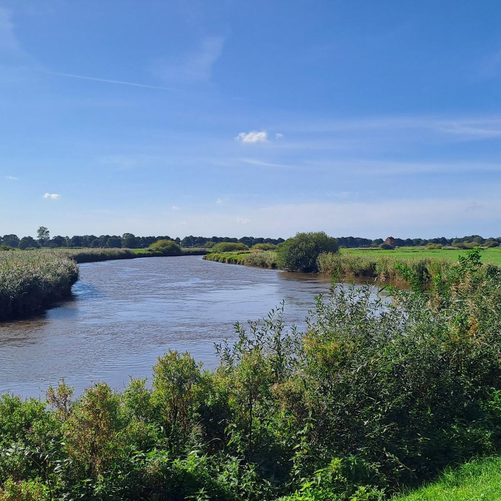
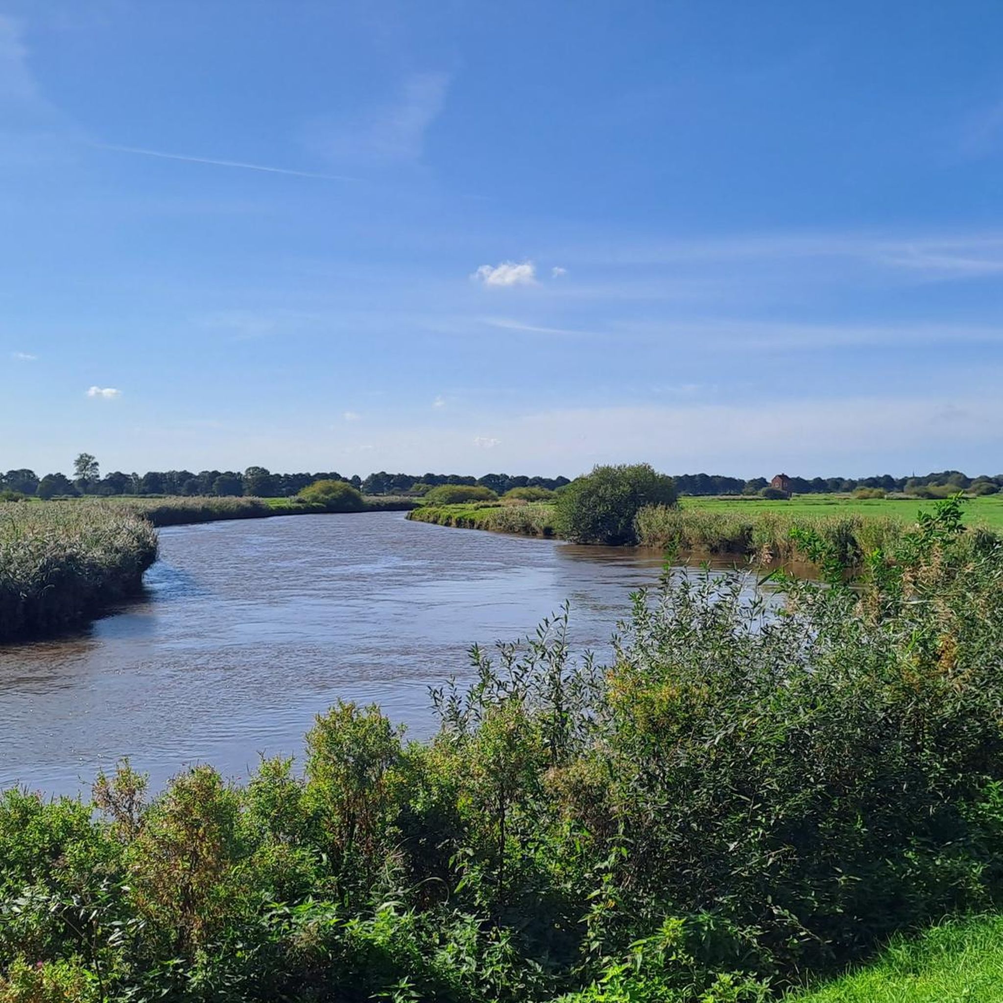
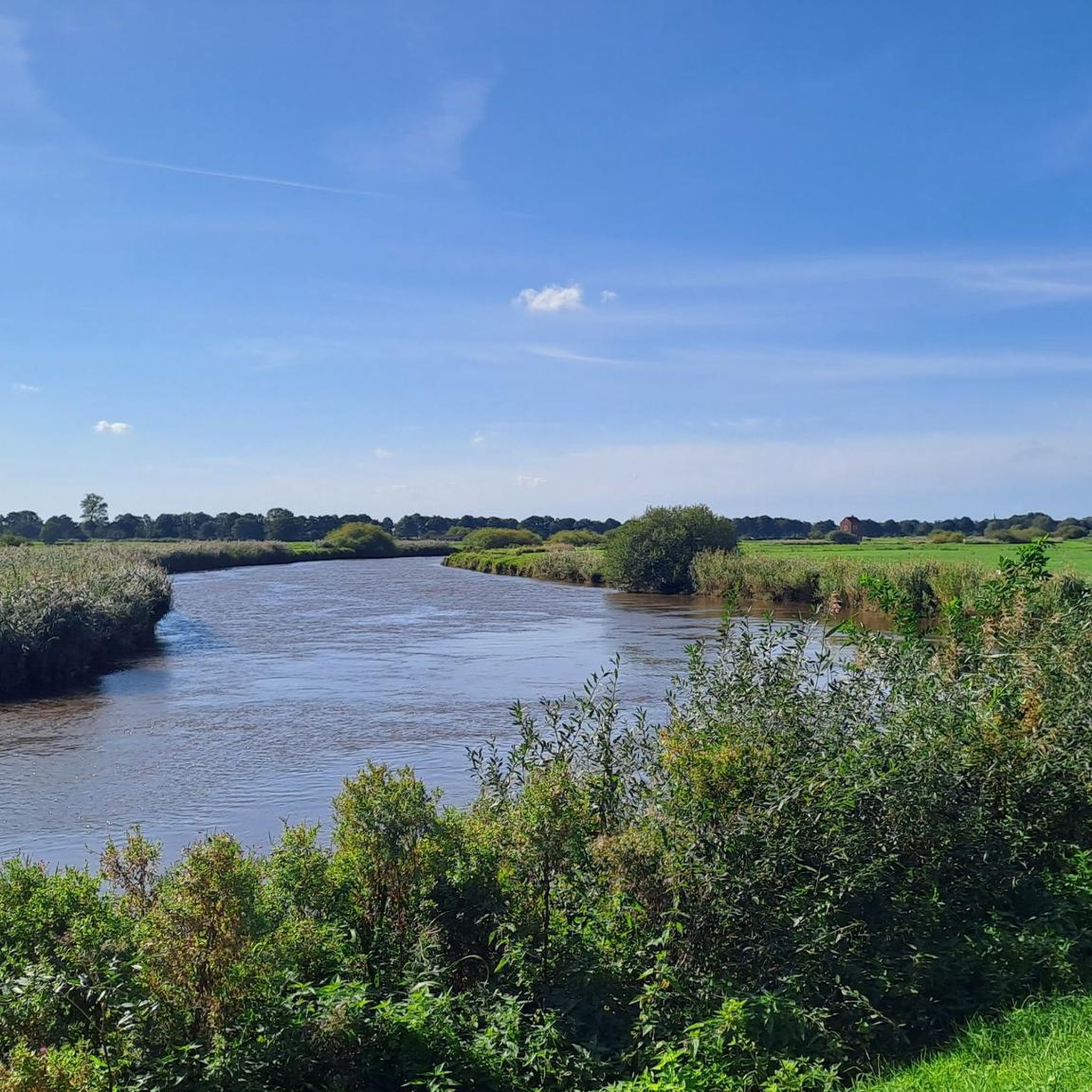
The 75 hectare “Aper Tief” nature reserve is a former contiguous wet grassland complex in the lowlands of the Aper Tief. The area was completely removed from grassland use in 2005 by relocating a dike, so that a natural floodplain landscape of a lowland river is redeveloping here. What is noteworthy in this context are the developing river mudflats and floodplain forests, through which oxbow lakes flow.
4
0

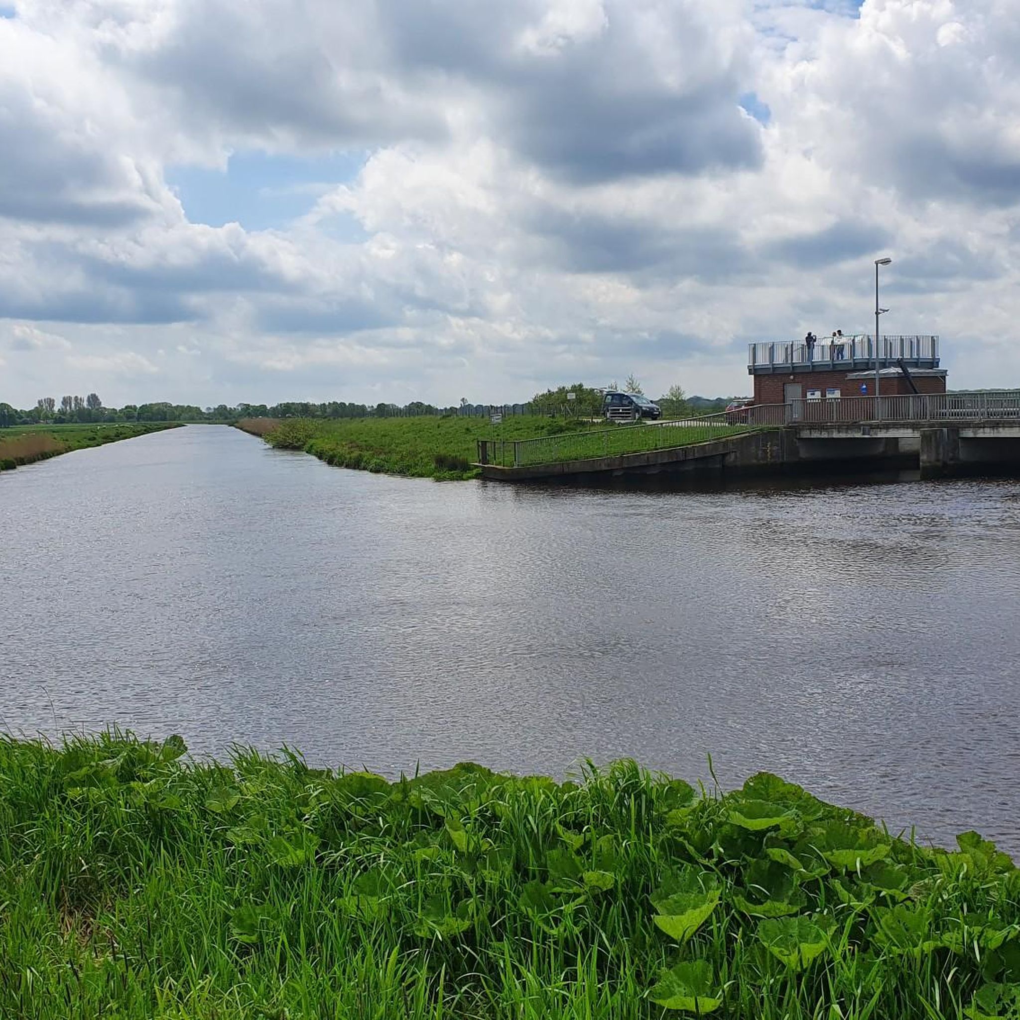
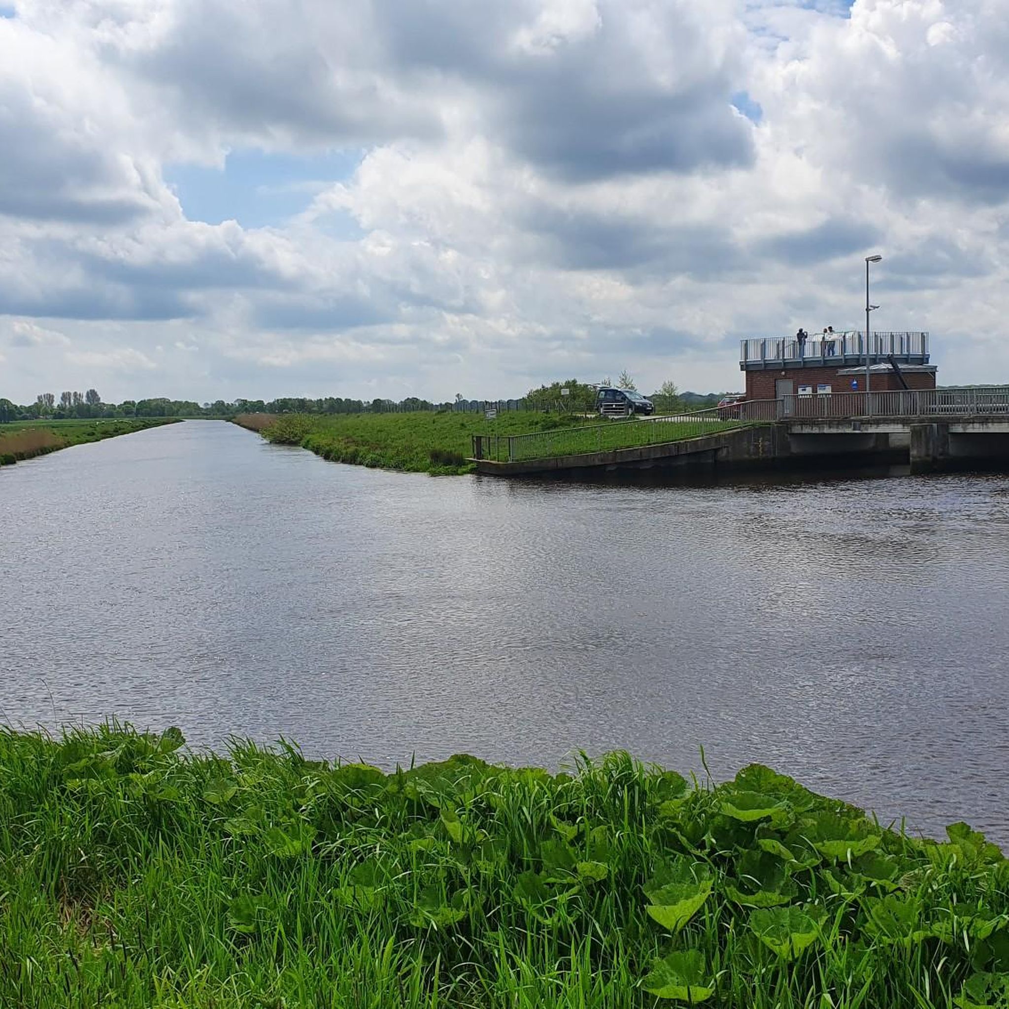
Due to the topographical conditions, most of the pumping stations are located in the northwestern part of the Ammerländer Wasseracht association area.
14
1
You can stay here...for a picnic or something for the little ones to play with and a little story too
10
0

A fantastic day trip for the whole family. Fun is guaranteed. Here you can have a great picnic 🧺, learn a lot, and even get the water flowing with plenty of activities using your own muscle power.
7
0

The Aper Tief is a small river in the Lower Saxony municipalities of Apen in the district of Ammerland and Detern in the joint municipality of Jümme in the district of Leer.
6
0
You can rest well at the tower and have a beautiful view of the Aper-Tief.
4
0

It was nice to cycle along here, there is always something to watch left and right 👀.
5
0
The nature reserve with the designation NSG WE 221 is 75 hectares in size. It has been under nature protection since December 17, 1994. The responsible lower nature conservation authority is the Ammerland district. The nature reserve is located south of the Aper Tief between the towns of Apen and Augustfehn in the municipality of Apen in the Ammerland district. It is bordered to the east by the district road 120 and to the west by the Norderloher Canal. In the south of the nature reserve is the dike of the Aper Tief, which was moved from the bank of the Tief to a road running south of it in 2005. Before the dike line was moved back, there were grassland and wet meadows here, which were crossed by oxbows of the Aper Tief. The grassland was mainly used for mowing. After the dike line was moved back, the areas between the Aper Tief and the dike are subject to the natural river dynamics and are partially flooded at high tide. This creates a river floodplain landscape with river mudflats, floodplain forests and wet biotopes. The areas also serve as flood protection. Reed beds, including cattails, water swaths, reed canary grass and sedge marshes, are spreading on the waterlogged areas. The nature reserve is home to laurel willow, prostrate St. John's wort, marsh marigold, greater burnet, water ragwort, water sedge, needle marsh rush, bristly marsh rush and thread rush, among others. The nature reserve is home to numerous bird species, including black-tailed godwit, common snipe and redshank. The nature reserve is also an important habitat for various insects, including ground beetles and dragonflies. In the south of the nature reserve there are two viewing platforms accessible from the road along the dyke, which can be used for nature observation. Another viewing point is located on a pumping station on the north bank of the Aper Tief near Augustfehn.
10
2
오스트하우더펜 주변에서 가장 인기 있는 명소


더 살펴보기
오스트하우더펜 주변의 최고의 동굴을 찾기 위해 이 가이드를 확인해보세요:
