헤젤에서 가장 멋진 20개의 천연기념물
천연기념물을 방문하여 헤젤의 아름다운 풍경을 만나보세요. 헤젤에 있는 20
개의 천연기념물과 상세 정보를 살펴본 후에 방문하고 싶은 천연기념물을 다음 모험 계획에 추가해보세요!
마지막 업데이트: 10월 11, 2026

노이도르퍼 무어 전망대
하이라이트 • 전망대
번역자 Google •
팁에 의해

이런 장소를 발견하려면 지금 가입하세요
최고의 싱글 트랙, 봉우리 및 다양한 흥미로운 야외 장소에 대한 추천을 받아보세요.
Bagbander Tief
하이라이트 • 강
번역자 Google •
팁에 의해


아퍼 티프 자연보호구역
하이라이트 • 강
번역자 Google •
팁에 의해
무료로 가입하여 헤젤 주변의 더 많은 자연 기념물을 발견하세요.
이미 komoot 계정이 있나요?
오늘 무료 계정으로 시작하세요
다음 모험이 기다리고 있어요.


커뮤니티 팁

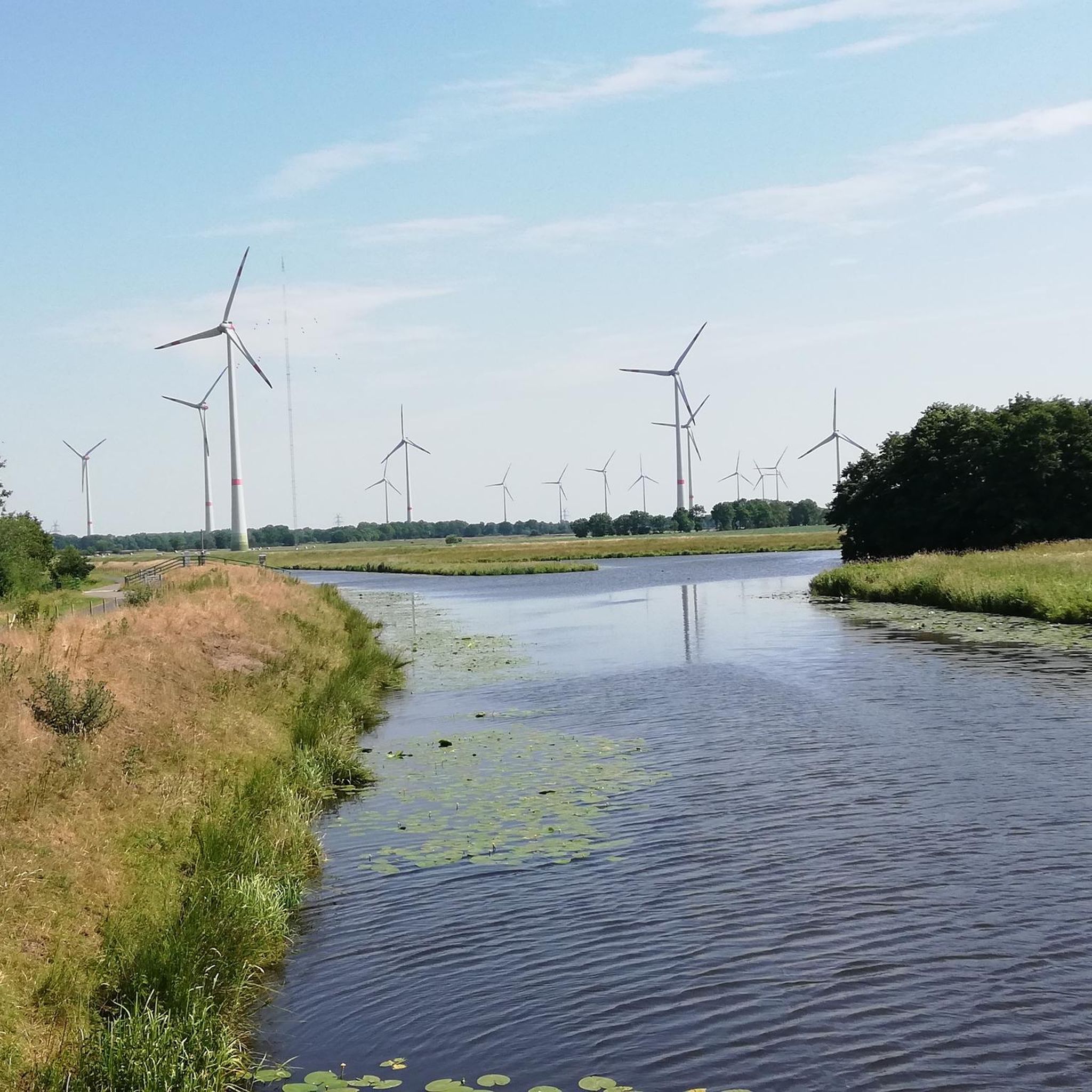
약 75헥타르 규모의 자연 보호 구역인 „아펜 티프“는 아펜과 아우구스트페른 사이, 암머란트 지역의 같은 이름의 강 남쪽에 위치해 있습니다. 2005년의 극적인 제방 재배치로 인해 이곳에는 북서부 유일의 담수 갯벌이 있는 독특한 조수 의존형 범람원이 조성되었습니다.
2
0


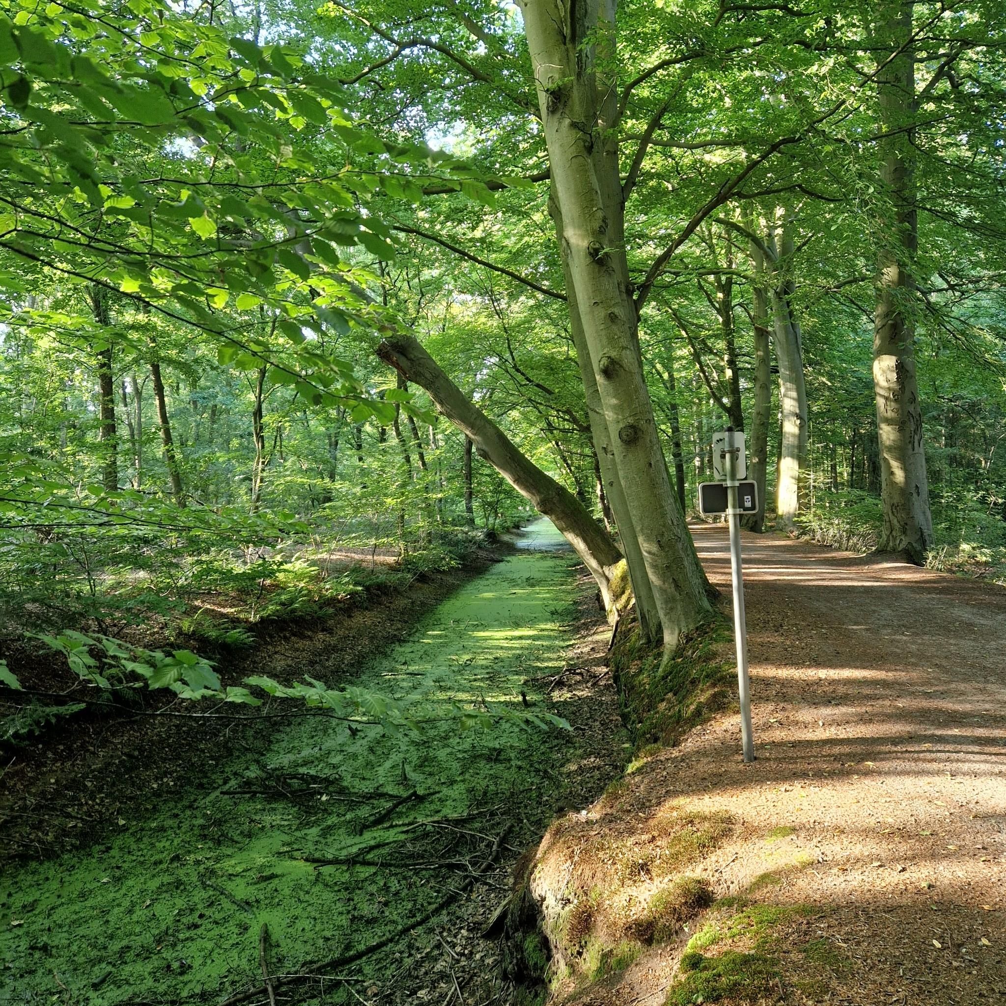
The waterlogged areas at the Bagbander Tief near the mouth of the Sautel Canal provide a habitat for numerous animal and plant species thanks to their rich structural diversity. In addition to the water, you'll find tall herbaceous vegetation, reed beds, and woody vegetation, which provide breeding and feeding habitats for rare species such as the wood sandpiper, the kingfisher, and the banded demoiselle. Source: Sign at the rest area
1
0

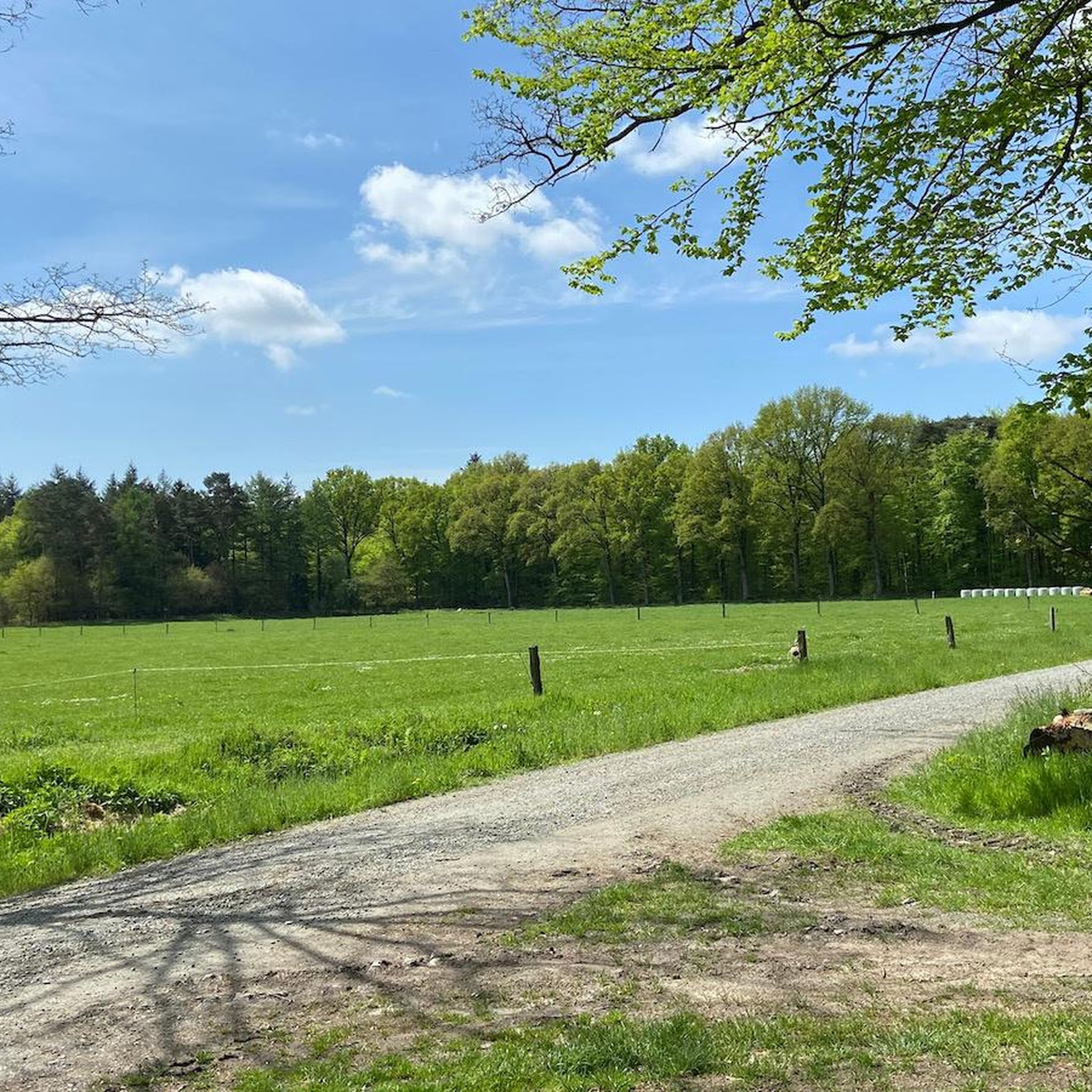
The Neudorfer Moor is a nature reserve in the Lower Saxony municipality of Uplengen in the Leer district. The nature reserve, designated NSG WE 114, is 350 hectares in size. The area has been a nature reserve since October 8, 1983. The responsible lower nature conservation authority is the Leer district. The nature reserve is located in the north of the municipality of Uplengen on the border with the municipality of Wiesmoor. The area protects the remains of a raised bog which, like the nature reserves of Lengener Meer, Stapeler Moor, Spolsener Moor and Herrenmoor a few kilometers further east, is one of the formerly extensive East Frisian central moors. The moor, where peat mining used to take place, is being renaturalized. A small part of the nature reserve is used as agricultural grassland. The area is drained via the Riesmeerschloot and the Nordgeorgsfehnkanal to the Jümme. There is a viewing platform in the east of the nature reserve.
4
1

A nice opportunity for a break on the benches and from the tower you have a super beautiful view of the nature reserve
4
1
Aper Tief The Aper Tief is a natural river in the municipality of Apen. Coming from the east, it flows through the farming communities of Hengstforde, Vreschen Bokel and Holtgast and then merges into the Jümme. Two retention areas were created along the river, which have become a fantastic nature reserve. The connection of the Aper Tief with the Jümme, Leda and Ems all the way to the North Sea means that the tides in this area are noticeable with a tidal range of 60 to 120 cm. Discover the freshwater mudflats in Hengstforde and the floodplain landscape in Holtgast with its diverse birdlife while hiking or cycling. Anglers will also find excellent conditions here.
6
1
헤젤 주변에서 가장 인기 있는 명소


더 살펴보기
헤젤 주변의 최고의 동굴을 찾기 위해 이 가이드를 확인해보세요:
