업플렌겐에서 가장 멋진 20개의 천연기념물
천연기념물을 방문하여 업플렌겐의 아름다운 풍경을 만나보세요. 업플렌겐에 있는 20
개의 천연기념물과 상세 정보를 살펴본 후에 방문하고 싶은 천연기념물을 다음 모험 계획에 추가해보세요!
마지막 업데이트: 10월 11, 2026
아페르 티에프 자연 보호 구역
하이라이트 • 강
번역자 Google •
팁에 의해

노이엔부르거 원시림의 사냥 오두막
하이라이트 • 산장
Opposite the …
번역자 Google •
팁에 의해

이런 장소를 발견하려면 지금 가입하세요
최고의 싱글 트랙, 봉우리 및 다양한 흥미로운 야외 장소에 대한 추천을 받아보세요.

Augustfehner Graben 전망대
하이라이트 • 전망대
번역자 Google •
팁에 의해

노이도르퍼 무어 전망대
하이라이트 • 전망대
번역자 Google •
팁에 의해

무료로 가입하여 업플렌겐 주변의 더 많은 자연 기념물을 발견하세요.
이미 komoot 계정이 있나요?
오늘 무료 계정으로 시작하세요
다음 모험이 기다리고 있어요.

커뮤니티 팁

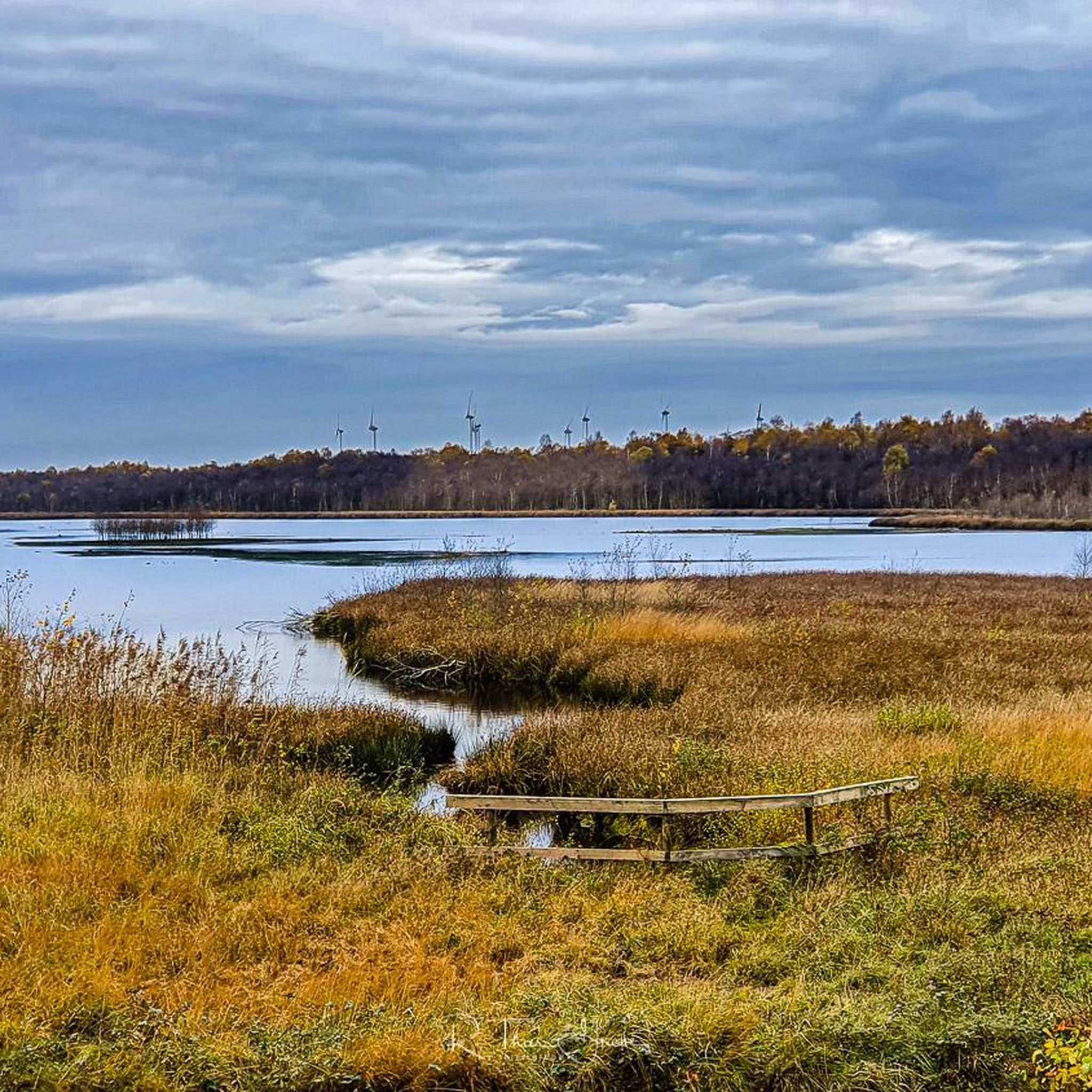
The Neudorfer Moor is a nature reserve in the Lower Saxony municipality of Uplengen in the Leer district. The nature reserve, designated NSG WE 114, is 350 hectares in size. The area has been a nature reserve since October 8, 1983. The responsible lower nature conservation authority is the Leer district. The nature reserve is located in the north of the municipality of Uplengen on the border with the municipality of Wiesmoor. The area protects the remains of a raised bog which, like the nature reserves of Lengener Meer, Stapeler Moor, Spolsener Moor and Herrenmoor a few kilometers further east, is one of the formerly extensive East Frisian central moors. The moor, where peat mining used to take place, is being renaturalized. A small part of the nature reserve is used as agricultural grassland. The area is drained via the Riesmeerschloot and the Nordgeorgsfehnkanal to the Jümme. There is a viewing platform in the east of the nature reserve.
4
1

A nice opportunity for a break on the benches and from the tower you have a super beautiful view of the nature reserve
4
1

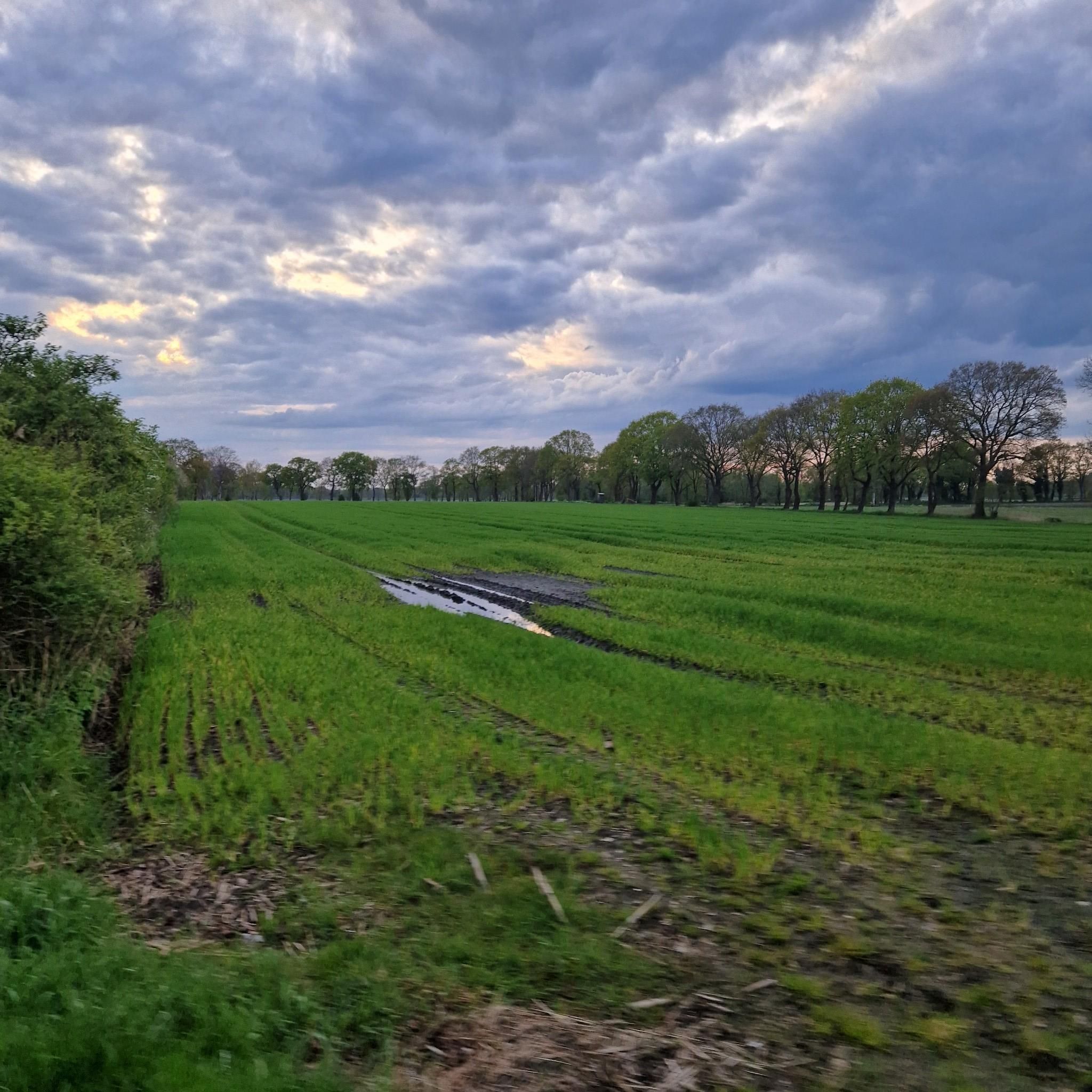
The 75 hectare “Aper Tief” nature reserve is a former contiguous wet grassland complex in the lowlands of the Aper Tief. The area was completely removed from grassland use in 2005 by relocating a dike, so that a natural floodplain landscape of a lowland river is redeveloping here. What is noteworthy in this context are the developing river mudflats and floodplain forests, through which oxbow lakes flow.
4
0
Due to the topographical conditions, most of the pumping stations are located in the northwestern part of the Ammerländer Wasseracht association area.
14
1
Now it is finished - the new observation tower that the NLWKN (Lower Saxony State Office for Water Management, Coastal and Nature Conservation) had built in the Lengener Meer nature reserve near Friedeburg in the Wittmund district to replace the dilapidated observation platform. While there were previously 14 steps, the visitor now has to climb 21 steps and is rewarded with a wide view over the raised moor with the 22-hectare moor lake. Thanks to its open and transparent design, the new tower is much more beautiful than the old platform. The lower area was deliberately not covered because experience with the previous observation platform has shown that visitors do not use the shelter at this point. “This made it possible to choose a construction that can be better integrated into the image of this raised moor landscape,” emphasizes Martin Wendeburg from the NLWKN in Oldenburg (Nature Conservation Division). The project is financed with funds from the
7
1

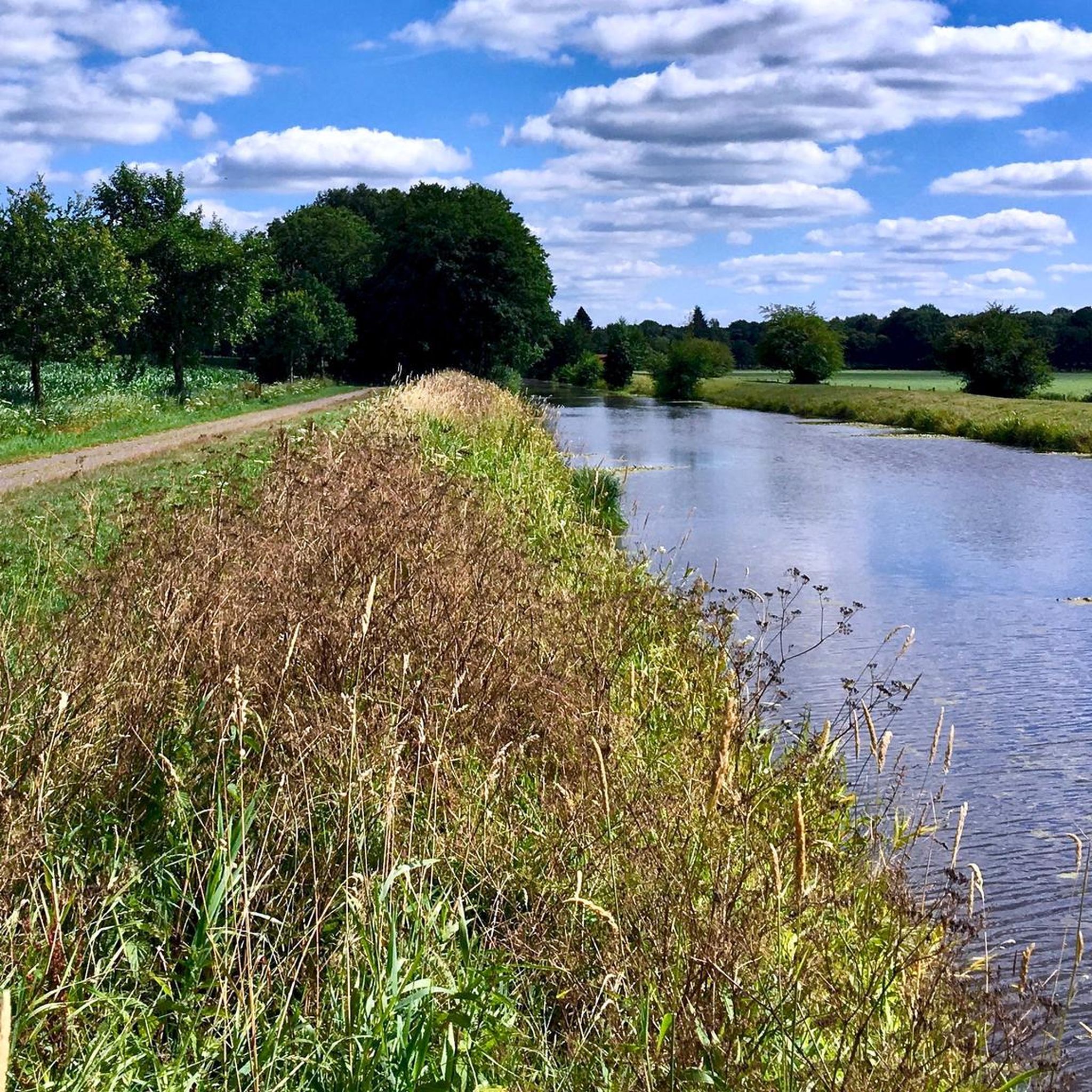
The Aper Tief is a small river in the Lower Saxony municipalities of Apen in the district of Ammerland and Detern in the joint municipality of Jümme in the district of Leer.
6
0
You can rest well at the tower and have a beautiful view of the Aper-Tief.
4
0

Property located in the rustic Bockhorn primeval forest, directly on the cycle path…
4
0
업플렌겐 주변에서 가장 인기 있는 명소


더 살펴보기
업플렌겐 주변의 최고의 동굴을 찾기 위해 이 가이드를 확인해보세요:
