운터프랑켄의 호프하임에서 가장 멋진 20개의 천연기념물
천연기념물을 방문하여 운터프랑켄의 호프하임의 아름다운 풍경을 만나보세요. 운터프랑켄의 호프하임에 있는 20
개의 천연기념물과 상세 정보를 살펴본 후에 방문하고 싶은 천연기념물을 다음 모험 계획에 추가해보세요!
마지막 업데이트: 9월 14, 2026
엘러트셰저 호수 하부 제방 지역
하이라이트 • 호수
번역자 Google •
팁에 의해

브람베르크 성터(폐허)
하이라이트 • 성
번역문 보기
팁에 의해
이런 장소를 발견하려면 지금 가입하세요
최고의 싱글 트랙, 봉우리 및 다양한 흥미로운 야외 장소에 대한 추천을 받아보세요.

융커스도르프 근처의 원시 초원
하이라이트 • 자연 기념물
번역자 Google •
팁에 의해


오늘 무료 계정으로 시작하세요
다음 모험이 기다리고 있어요.
운터프랑켄의 호프하임 주변 인기 장소

Nature, the outdoors and adventure – hiking through the VGN's nature parks
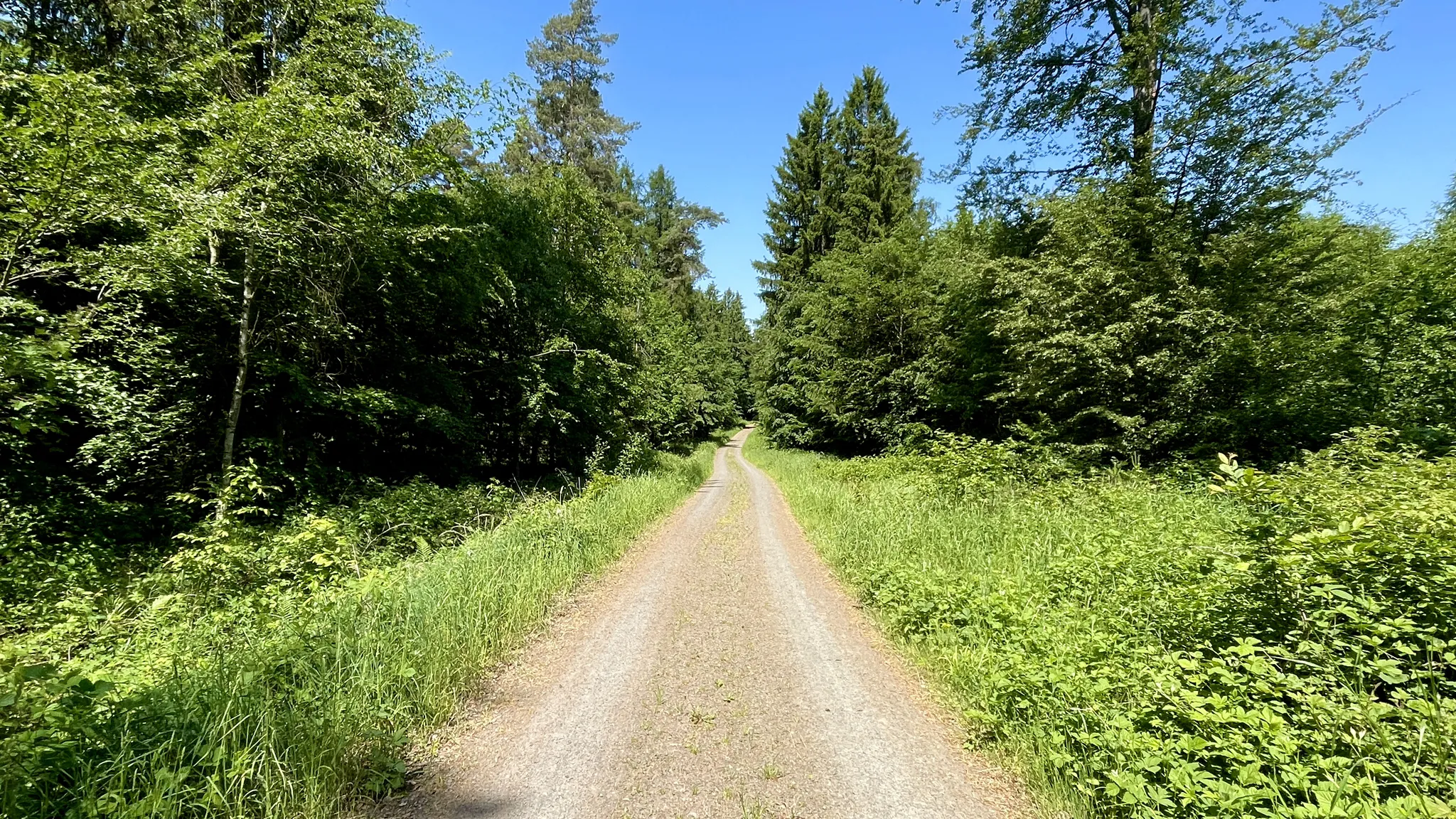
스트레스를 자연과 침묵으로 바꾸세요 – Rennweg(하스베르게)

All aboard for summer hiking with Germany’s VGN
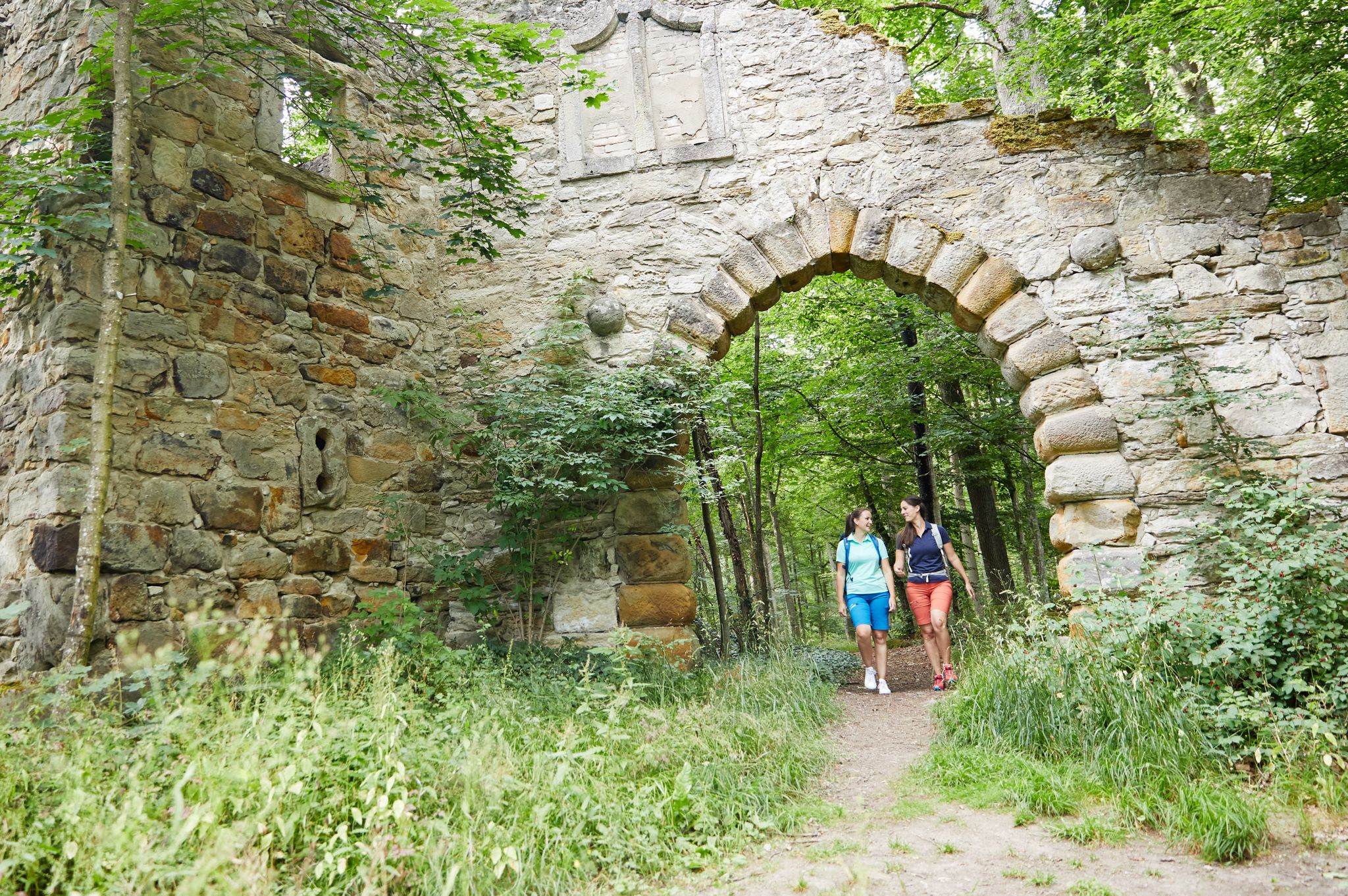
Full of views and fun – VGN leisure tips 2022
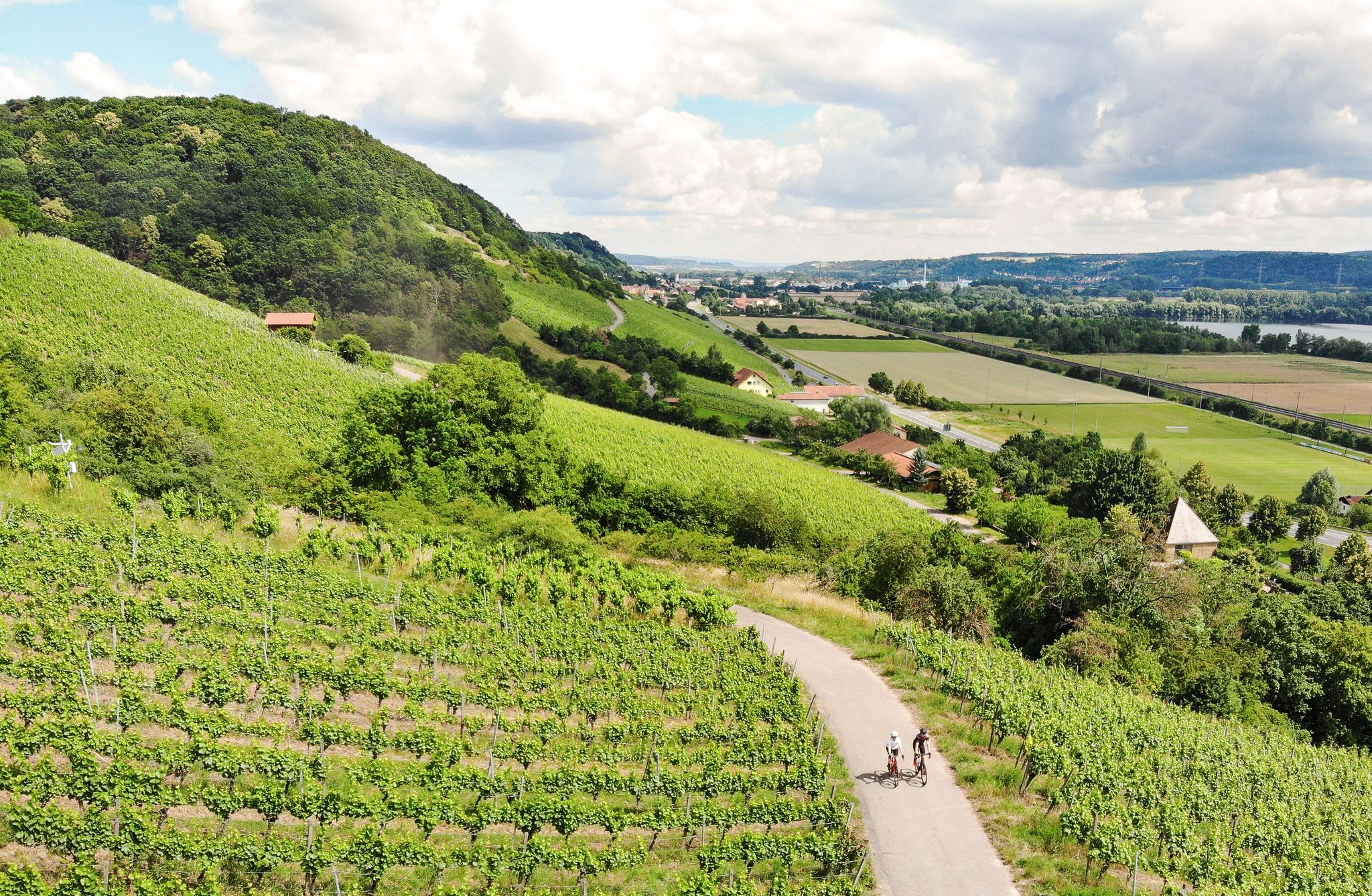
Castles, beer and wine — beautiful rides in the Hass mountains

Wine, woods & walking trails — Best of VGN hiking tips

Explore southern Germany – hiking and biking with the VGN
운터프랑켄의 호프하임 하이킹
운터프랑켄의 호프하임 사이클링
운터프랑켄의 호프하임 MTB 트레일


커뮤니티 팁

A journey into history with lots of information on the panels.
11
0

In former times, Zeysendorf village stood here. The memorial stone stands in the immediate vicinity of the original meadow, right next to an information board about the flora and fauna of the dry slopes. A beautiful trail leads to the original meadow. It's a lovely spot, especially when everything is in bloom.
12
0
The 132.34-hectare area, designated NSG-00376.01, which was declared a nature reserve in 1990, extends north and northeast of Unfinden, a district of the city of Königsberg in Bavaria. Route 2281 runs southwest.
12
0
The ruins of Bramberg Castle are located within the Haßberge Nature Park on the summit of the 494.3-meter-high Bramberg, an extinct volcanic cone of the Heldburg Gangschar, approximately 2 kilometers northwest of the village of Bramberg, a western district of Ebern, and about 5 kilometers (as the crow flies) northeast of the city of Königsberg in Bavaria. It is surrounded by the Goßmannsdorf Forest. Source and further information: https://de.wikipedia.org/wiki/Burg_Bramberg_(Ha%C3%9Fberge)
12
0

The nature reserve "Dry slopes and primeval meadows near Junkersdorf" is 132.34 hectares in size. It was declared a nature reserve in 1990.
18
0

오늘날의 이용 호수는 이제 지역 휴양지로 이용되고 있습니다. 넓은 지역은 수영, 다이빙, 세일링, 낚시가 가능합니다. 나머지 지역은 생물 서식지로 조성되었으며 자연 보호 구역으로 지정되었습니다. 또 다른 용도는 봄철 눈 녹음으로 인한 홍수를 방지하고 여름과 가을의 건조한 시기에 Sauerquellenbach에 충분한 물을 공급하기 위한 저수지 역할입니다. 총 면적 33헥타르의 이 호수는 Unterfranken에서 가장 큰 저수지입니다.[1] 사방이 숲으로 둘러싸여 있습니다. 둘레길은 4.4km입니다. 호수 북쪽 기슭의 일부에는 일광욕장, 모래 해변, 수영 부두가 있습니다. 1983년과 2022년에 호수는 보수 공사를 위해 완전히 비워졌습니다. 2022년에 바닥 밸브가 설치된 후, 저수지는 개보수 시 더 이상 완전히 비울 필요가 없습니다. 2022년 9월 22일에 배수구가 다시 막혔으며, 빗물과 눈으로 인한 호수의 채움은 2024년 봄까지 완료될 것으로 예상됩니다. https://de.wikipedia.org/wiki/Ellertsh%C3%A4user_See
9
1
The dry slopes and primeval meadow nature reserve near Junkersdorf is located in the Haßberge district in Lower Franconia. The 132.34 hectare area with the number NSG-00376.01, which was placed under nature conservation in 1990, extends north and northeast of Unfund, a district of the city of Königsberg in Bavaria. St 2281 runs southwest. https://de.wikipedia.org/wiki/Trrockenh%C3%A4nge_und_Urwiese_bei_Junkersdorf
9
5

what a wonderful property with a history dating back to the 13th century.
2
1
운터프랑켄의 호프하임 주변에서 가장 인기 있는 경로
운터프랑켄의 호프하임 주변에서 가장 인기 있는 명소


더 살펴보기
운터프랑켄의 호프하임 주변의 최고의 동굴을 찾기 위해 이 가이드를 확인해보세요:
