에인들링에서 가장 멋진 20개의 천연기념물
천연기념물을 방문하여 에인들링의 아름다운 풍경을 만나보세요. 에인들링에 있는 20
개의 천연기념물과 상세 정보를 살펴본 후에 방문하고 싶은 천연기념물을 다음 모험 계획에 추가해보세요!
마지막 업데이트: 10월 11, 2026
Firnhaberauheide 자연보호구역
하이라이트 • 자연 기념물
번역자 Google •
팁에 의해

아우크스부르크 뮐베르크 휴양지
하이라이트 • 전망대
번역자 Google •
팁에 의해
이런 장소를 발견하려면 지금 가입하세요
최고의 싱글 트랙, 봉우리 및 다양한 흥미로운 야외 장소에 대한 추천을 받아보세요.

몬테 셰르벨리노(아우크스부르크 뮐베르크)
하이라이트 • 전망대
November to March 8 a.m. to 4 p.m.
April to October 8 a.m. to 6 p.m.
번역자 Google •
팁에 의해
오늘 무료 계정으로 시작하세요
다음 모험이 기다리고 있어요.

커뮤니티 팁

The Silberbrünnel near Hollenbach, also known as Silberbrünnl, is an idyllic hillside and spring moor in the Bernbach Forest near Motzenhofen, a district of the municipality of Hollenbach in the Aichach-Friedberg district. It owes its name to the mica-containing sediments in the stream bed, which shimmer silver in the sunlight.  Nature reserve: The area has been under landscape protection since 1971 in order to preserve the unique flora and fauna. Rare plant species can be found here, such as the orchid, a type of orchid, the butterwort, a carnivorous plant, the marsh iris, the Turk's cap lily, the Siberian iris and the cotton grass with its strikingly fluffy white seed heads. The sundew, another carnivorous plant, can also be found here.  Hiking and relaxation: The Silberbrünnel is a popular destination for hikers and nature lovers. Various hiking trails lead through the area and offer insights into the diverse nature. A recommended route is the circular hike over the Silberbrünnel, which offers both city impressions of St. Georgen and impressions of the surrounding forest and nature.  Getting there: The Silberbrünnel is easily accessible from Hollenbach. Parking is available at the large solar field near Oberbernbach. From there, signposted paths lead to the Silberbrünnel.  Information for visitors: In order to protect the sensitive nature, visitors should stay on the designated paths and be considerate of the flora and fauna. The area is a valuable biotope, the preservation of which depends on responsible behavior.  The Silberbrünnel near Hollenbach therefore offers a unique opportunity to experience the beauty and diversity of nature in Bavaria.
2
0
The Chardonnaybach is an artificially created stream in the "Lechauen Nord" landscape conservation area near Gersthofen, north of Augsburg. It was created in 1996 to re-irrigate the Lech floodplains east of the Lech and thus revitalize valuable wetland habitats. Origin and course: As there was no natural water available on the east side of the Lech, a pipeline (culvert) was laid under the Lech to take water from the Lech side canal to the west. The water pressure now allows one cubic meter of water per second to reach the east bank. There it emerges in an artificial spring and initially feeds the newly created Chardonnaybach, which flows into the Branntweinbach after 850 meters. Ecological significance: The re-irrigation allowed wetland habitats to develop again in the previously dried-up Lech floodplains. The presence of the beaver in particular has contributed to the return of amphibians, dragonflies, reptiles and typical marsh plants. However, the activities of the beaver also mean that pedestrian paths are permanently flooded and the water no longer follows the planned course. Nature conservation is currently trying to specifically direct the activities of the beaver so that the water flows through again. Leisure and recreation: The Chardonnaybach and its surroundings are popular destinations for hikers and nature lovers. A nature trail, known as the “Jungle Trail in the Lechauen Nord”, leads through parts of the biotope and offers informative panels on the flora and fauna of the region. Guided tours are offered by the Augsburg Environmental Station. Getting there: The source of the Chardonnaybach is located east of the Lech near the Gersthofen tennis club. The stream runs directly under the high-voltage power line in the “Lechauen Nord” landscape conservation area. The Chardonnaybach is a successful example of renaturation measures that bring both ecological benefits and create recreational opportunities for the population.
1
0

Spring water can be drawn here. To do this, cups hang on the tree.
2
0

Honestly, who creates a mountain bike highlight in which cycling is forbidden?
5
0
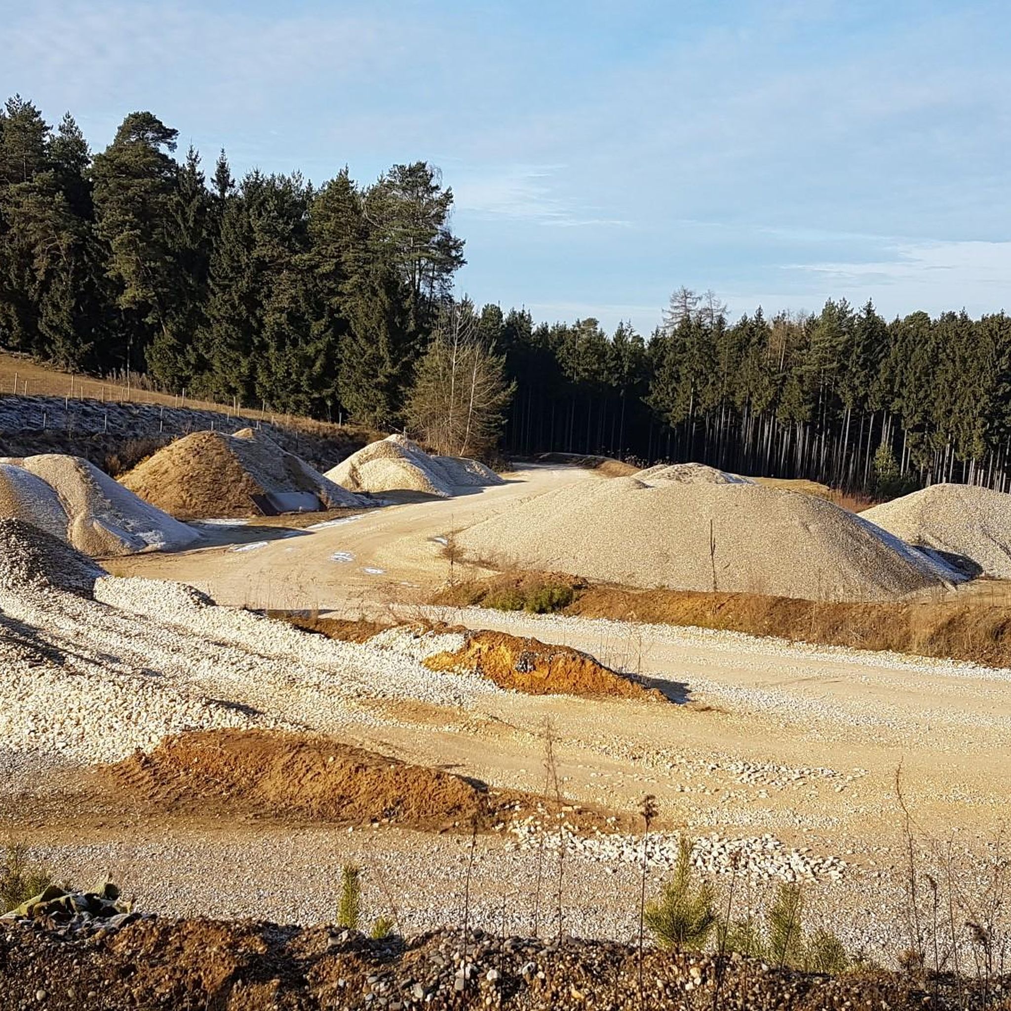
Gravel gem next to the citizen cage race track. Fantastic in the morning and with sheep.
3
1

Drink natural water. Take the bottle with you and fill it up.
3
0

Wildly romantic spring stream with several spring pots located in the forest. Clear, sparkling water can be "tasted" on site. Attention: riding your bike directly to the source and the biotope is forbidden! Stick to the rules so that this gem will last for a long time!
0
0
에인들링 주변에서 가장 인기 있는 명소


더 살펴보기
에인들링 주변의 최고의 동굴을 찾기 위해 이 가이드를 확인해보세요:
