토텐바이스에서 가장 멋진 18개의 천연기념물
천연기념물을 방문하여 토텐바이스의 아름다운 풍경을 만나보세요. 토텐바이스에 있는 18
개의 천연기념물과 상세 정보를 살펴본 후에 방문하고 싶은 천연기념물을 다음 모험 계획에 추가해보세요!
마지막 업데이트: 8월 31, 2026

아우크스부르크 뮐베르크 휴양지
하이라이트 • 전망대
번역자 Google •
팁에 의해

이런 장소를 발견하려면 지금 가입하세요
최고의 싱글 트랙, 봉우리 및 다양한 흥미로운 야외 장소에 대한 추천을 받아보세요.
무료 회원 가입
데이릴리밭 자연기념물
하이라이트 • 자연 기념물
번역자 Google •
팁에 의해
Hühnerberg 자연기념물과 Schmutter 급경사면
하이라이트 • 자연 기념물
번역자 Google •
팁에 의해

무료로 가입하여 토텐바이스 주변의 더 많은 자연 기념물을 발견하세요.
무료 회원 가입
이미 komoot 계정이 있나요?
오늘 무료 계정으로 시작하세요
다음 모험이 기다리고 있어요.
로그인 또는 가입하기



커뮤니티 팁

The daylily field near St. Stephan is the largest daylily field in Europe. Daylilies and other orchid species bloom every June. The biotope borders the Lech floodplain forest. Picking is strictly prohibited!
0
0

The DAYLILY FIELD is part of the Lech floodplain forest with its natural growth of trees and shrubs. The floodplain forest is to be preserved as a vegetation bridge between the Alps and the Jura, as climate protection and as a landscape element of the Lech plain. The Lech once had its bed with its widely branched arms at the level of the daylily field. The NATURAL MONUMENT "DAYLILY FIELD" was placed under protection in 1982. The purpose of the protection is to preserve the characteristic remaining area of the original Lech floodplain landscape and to protect the existing plants. The existing, mostly rare plants here include the daylily, as well as the bumblebee orchid, the spider orchid, various types of hagwort, the lady's slipper, the Turk's cap lily, the lemon balm, the flax, the Siberian iris, the daphne and the laserwort. The tendrils of the clematis are also typical of the floodplain forest. The daylily (scientific name from the Greek "Hemerocallis lilio-asphodelus" - which corresponds to the German translation "day beauty") blooms in June. The plant is not native to Central Europe, but to the Mediterranean countries and southeastern Europe. However, it was naturalized in Germany centuries ago. The individual flower usually only opens for one Day. There are up to 8 flowers on one stem, which bloom on consecutive days. The LILY MEADOW with a closed population of thousands of plants is now a botanical treasure and can be described as unique in Central Europe. The property has been owned by the Swabian Natural Science Association since 1930. The annual maintenance is carried out by the "Friends of Nature" e.V. St. Stephan association.
1
0
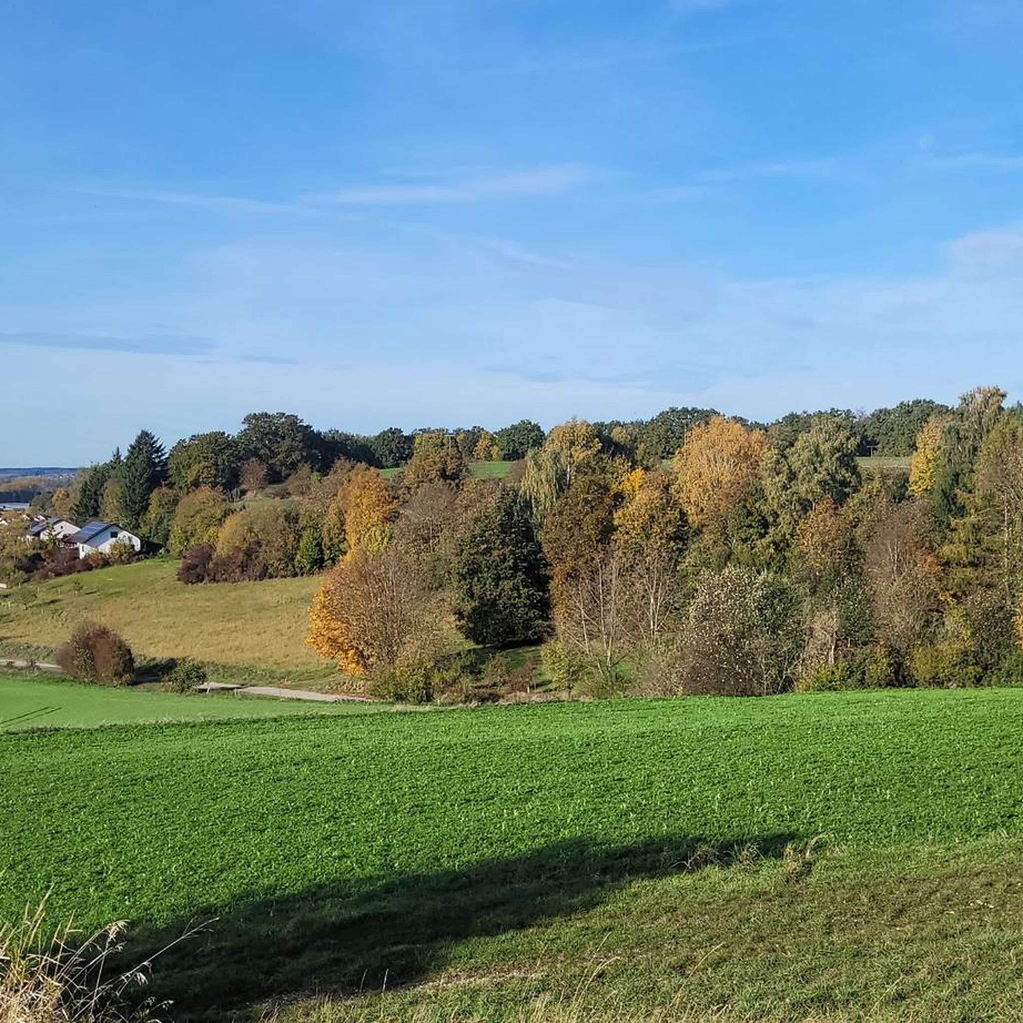
The Hühnerberg natural monument is located near Gersthofen in the Augsburg district of Bavaria. It is characterized by its striking steep slopes along the Schmutter river and offers visitors an impressive view of the valley. The steep slopes are home to rare plant species, which is why the area is designated as a protected biotope. The Hühnerberg offers a picturesque panorama, especially at sunset. Historical finds indicate that the area was already inhabited in ancient times. It is recommended to respect nature and not to leave the designated paths in order to protect the sensitive flora and fauna.
2
0
The Chardonnaybach is an artificially created stream in the "Lechauen Nord" landscape conservation area near Gersthofen, north of Augsburg. It was created in 1996 to re-irrigate the Lech floodplains east of the Lech and thus revitalize valuable wetland habitats. Origin and course: As there was no natural water available on the east side of the Lech, a pipeline (culvert) was laid under the Lech to take water from the Lech side canal to the west. The water pressure now allows one cubic meter of water per second to reach the east bank. There it emerges in an artificial spring and initially feeds the newly created Chardonnaybach, which flows into the Branntweinbach after 850 meters. Ecological significance: The re-irrigation allowed wetland habitats to develop again in the previously dried-up Lech floodplains. The presence of the beaver in particular has contributed to the return of amphibians, dragonflies, reptiles and typical marsh plants. However, the activities of the beaver also mean that pedestrian paths are permanently flooded and the water no longer follows the planned course. Nature conservation is currently trying to specifically direct the activities of the beaver so that the water flows through again. Leisure and recreation: The Chardonnaybach and its surroundings are popular destinations for hikers and nature lovers. A nature trail, known as the “Jungle Trail in the Lechauen Nord”, leads through parts of the biotope and offers informative panels on the flora and fauna of the region. Guided tours are offered by the Augsburg Environmental Station. Getting there: The source of the Chardonnaybach is located east of the Lech near the Gersthofen tennis club. The stream runs directly under the high-voltage power line in the “Lechauen Nord” landscape conservation area. The Chardonnaybach is a successful example of renaturation measures that bring both ecological benefits and create recreational opportunities for the population.
1
0

Great area. Some Iceland feeling, so completely without trees.
2
1

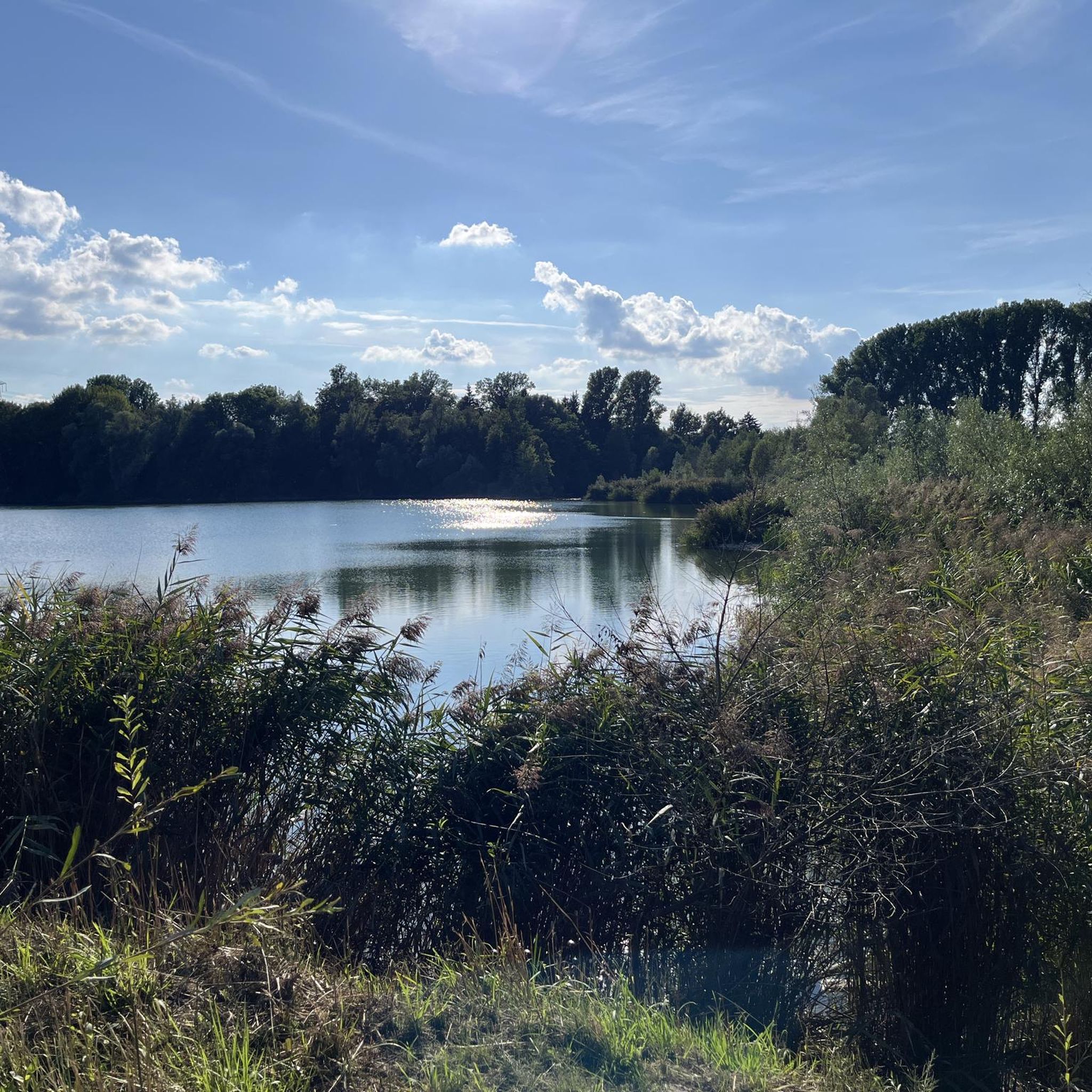
There it lies... still as a grave, gigantic as a mountain and deep as the ocean... the Eglesee🤭😂
1
1

토텐바이스 주변에서 가장 인기 있는 명소


더 살펴보기
토텐바이스 주변의 최고의 동굴을 찾기 위해 이 가이드를 확인해보세요:
