브리엘에서 가장 멋진 14개의 천연기념물
천연기념물을 방문하여 브리엘의 아름다운 풍경을 만나보세요. 브리엘에 있는 14
개의 천연기념물과 상세 정보를 살펴본 후에 방문하고 싶은 천연기념물을 다음 모험 계획에 추가해보세요!
마지막 업데이트: 10월 10, 2026

스트레이프몬데 영지
하이라이트 • 숲
번역자 Google •
팁에 의해

이런 장소를 발견하려면 지금 가입하세요
최고의 싱글 트랙, 봉우리 및 다양한 흥미로운 야외 장소에 대한 추천을 받아보세요.
Tij 조류 관측소
하이라이트 • 구조물
번역자 Google •
팁에 의해

Fort Penserdijk
하이라이트 • 역사적 장소
번역자 Google •
팁에 의해

Quackjeswater 전망대
하이라이트 • 전망대
번역자 Google •
팁에 의해

무료로 가입하여 브리엘 주변의 더 많은 자연 기념물을 발견하세요.
이미 komoot 계정이 있나요?


커뮤니티 팁


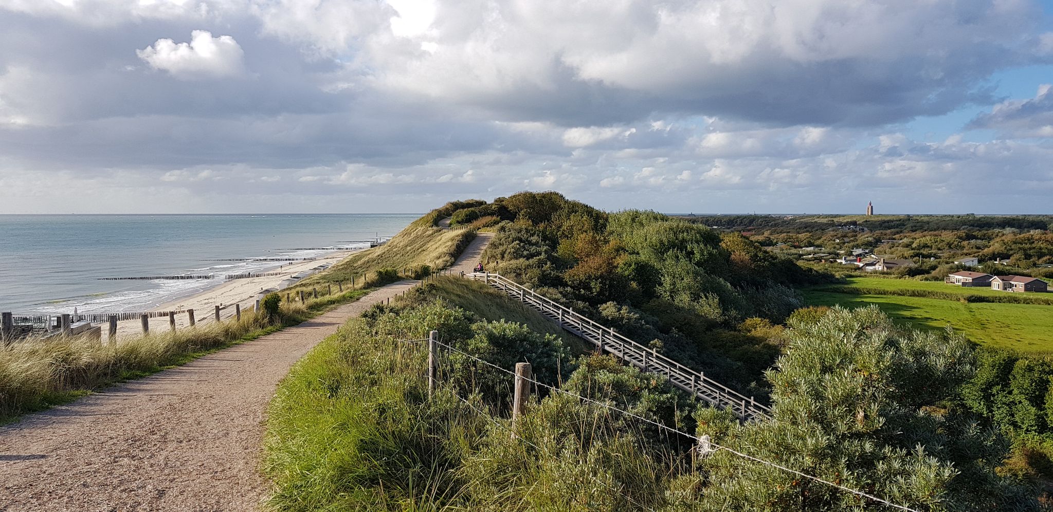
You are allowed to take your dog with you, as long as it is leashed. There are two hills with semi-natural stairs that are pretty steep.
2
0

From an elongated floor plan consisting of three rectangles, a country house was built under glazed, improved Dutch tile gabled roofs with projecting eaves resting on carved studs. The facades, constructed in large-format yellow bricks, predominantly feature straight-closed facade openings with wider lintels. A crawl space is located beneath the entire building.
1
0
Built in 1937-1938 to a design by architect J.W. Janzen on the remains of St. Pietersdijk, which originally served as a country house and hunting lodge, the freehouse, situated in a landscaped park, is the main part of the Strypemonde estate, commissioned by James van Hoey Smith. The left façade of the house, built in the interwar style, features an attached service building with a garage and a game slaughterhouse.
1
0


Navigation address: Deltahaven 69, Stellendam You can park for free at the parking lot of the Stellendam marina, the path starts from the parking lot Dogs are not allowed to and in the bird observatory (not even on a leash) The walking path (where you will also encounter a staircase) and Tij itself are not accessible with a wheelchair/walker, because the observatory is located outside the dike on the Haringvliet
1
0

Fort Penserdijk was built in 1885 as part of the "Monden van de Maas en Haringvliet" (Mouths of the Maas and Haringvliet) defence line. It consists of an elongated rampart with steep slopes and is surrounded by a wide moat. During Open Monument Day, the fort on Peltserdijk in Tinte can be visited. During World War II, the Germans took Fort Penserdijk and the identical Fort Noorddijk near Hellevoetsluis into use as shelter and storage. The Germans put the Dutch plan of inundation (deliberately flooding an area) into practice. Allied aircraft and paratroopers could never land in this way. The polders east and west of the Canal through Voorne were filled with seawater. The salt was disastrous for agriculture for years after the war.
0
0

One of the few "forests" near Rotterdam. This route is designed so that as much as possible can be walked on footpaths. There is only one steep climb.
5
0
브리엘 주변에서 가장 인기 있는 명소


더 살펴보기
브리엘 주변의 최고의 동굴을 찾기 위해 이 가이드를 확인해보세요:
