왈레에서 가장 멋진 20개의 천연기념물
천연기념물을 방문하여 왈레의 아름다운 풍경을 만나보세요. 왈레에 있는 20
개의 천연기념물과 상세 정보를 살펴본 후에 방문하고 싶은 천연기념물을 다음 모험 계획에 추가해보세요!
마지막 업데이트: 10월 10, 2026
베셈의 청동기 시대 고분
하이라이트 • 역사적 장소
번역자 Google •
팁에 의해

발켄호르스트 히스초원
하이라이트 • 자연
번역자 Google •
팁에 의해

이런 장소를 발견하려면 지금 가입하세요
최고의 싱글 트랙, 봉우리 및 다양한 흥미로운 야외 장소에 대한 추천을 받아보세요.


Warmbeek 하천 복원
하이라이트 • 강
번역자 Google •
팁에 의해

무료로 가입하여 왈레 주변의 더 많은 자연 기념물을 발견하세요.
이미 komoot 계정이 있나요?
오늘 무료 계정으로 시작하세요
다음 모험이 기다리고 있어요.
커뮤니티 팁

베섬(Vessem) 근처의 고분은 이 지역의 가장 오래된 거주 흔적 중 하나로 청동기 시대(기원전 약 2000-800년)로 거슬러 올라갑니다. 이 낮고 둥근 언덕들은 묘지로 조성되었으며 종종 풍경 속에서 미묘하게 알아볼 수 있습니다. 청동기 시대에는 사망자를 화장하는 것이 일반적이었습니다. 그런 다음 유골을 항아리에 담거나 땅에 직접 묻은 후 그 위에 모래와 잔디 덩어리로 언덕을 쌓았습니다. 때로는 하나의 고분에 여러 번 매장하여 시간이 지남에 따라 더 커지기도 했습니다. 고분은 종종 베섬 근처와 같이 높은 모래 언덕에 위치했는데, 이곳은 건조하고 풍경 속에서 잘 보였기 때문입니다. 이들은 아마도 매장 기능뿐만 아니라 영토나 중요한 길을 표시하는 역할도 했을 것입니다. 많은 고분들이 수 세기에 걸쳐 농업과 임업으로 인해 평평해졌지만, 일부는 보존되어 오늘날 귀중한 고고학 기념물이 되었습니다. 산책 중에 숲 속의 약간의 융기처럼 보일 때도 있는데, 이는 수천 년의 인간 역사를 말없이 증언합니다. 자연과 선사 시대가 말 그대로 만나는 풍경 속의 특별한 요소입니다.
1
0
The Roof of Brabant, located on the Gulberg near Nuenen/Mierlo, is an artificial hill that emerged from a former landfill and is now one of the region's most striking landmarks. With a summit of approximately 60 meters, the hill offers a panoramic view rarely found anywhere else in Brabant. From the summit, you can look out over the Luchense Heide, the surrounding forest, the Eindhoven Canal, and, on a clear day, even as far as Eindhoven and Helmond. The slopes of the Gulberg are covered with rugged grass and shrubs, making the area a habitat for birds and small mammals. The summit is regularly visited by hikers, runners, and mountain bikers, but it remains a place where you literally stand above the landscape. The contrast between the natural environment and its industrial origins makes it a unique viewpoint that is always worth pausing for a moment.
1
0


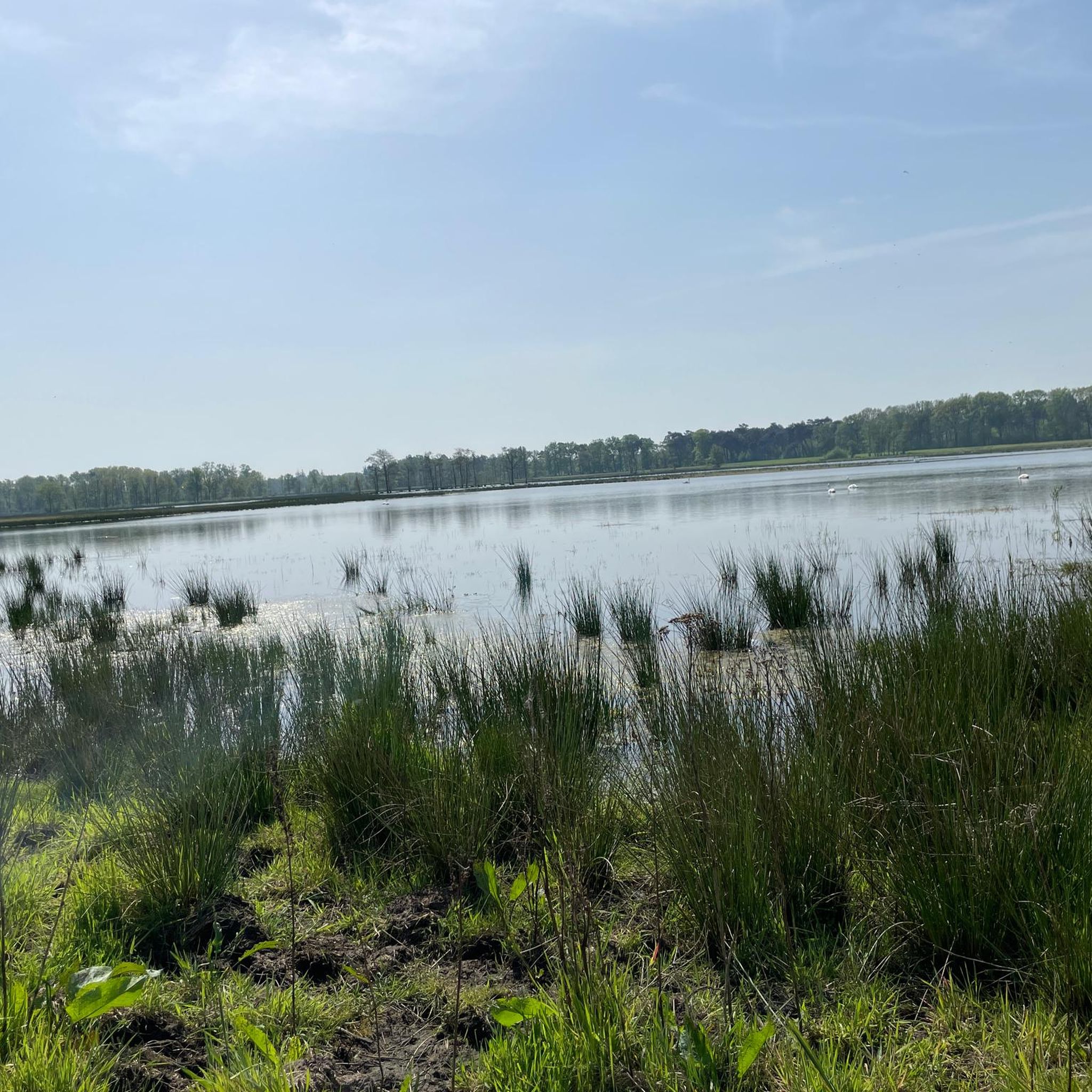
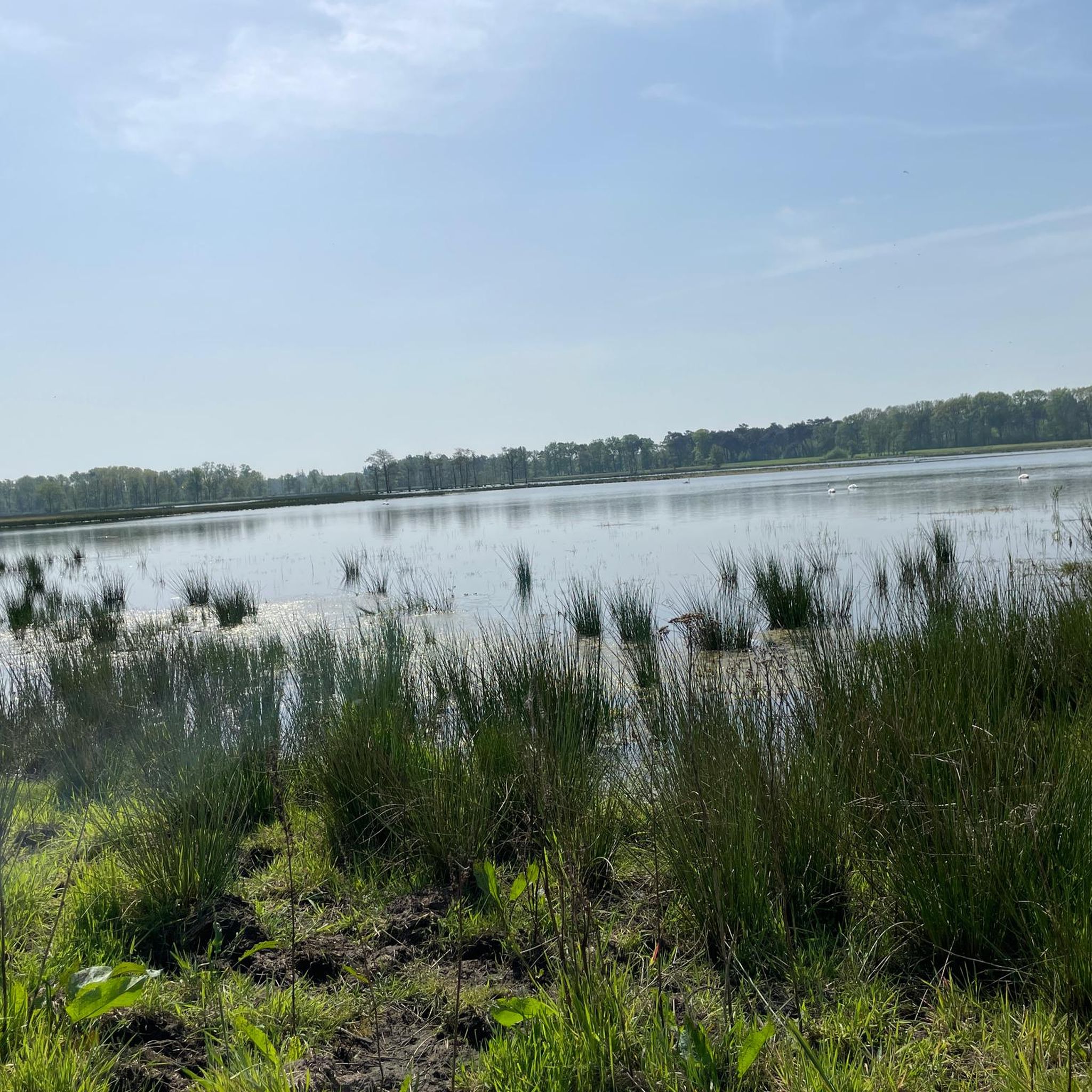
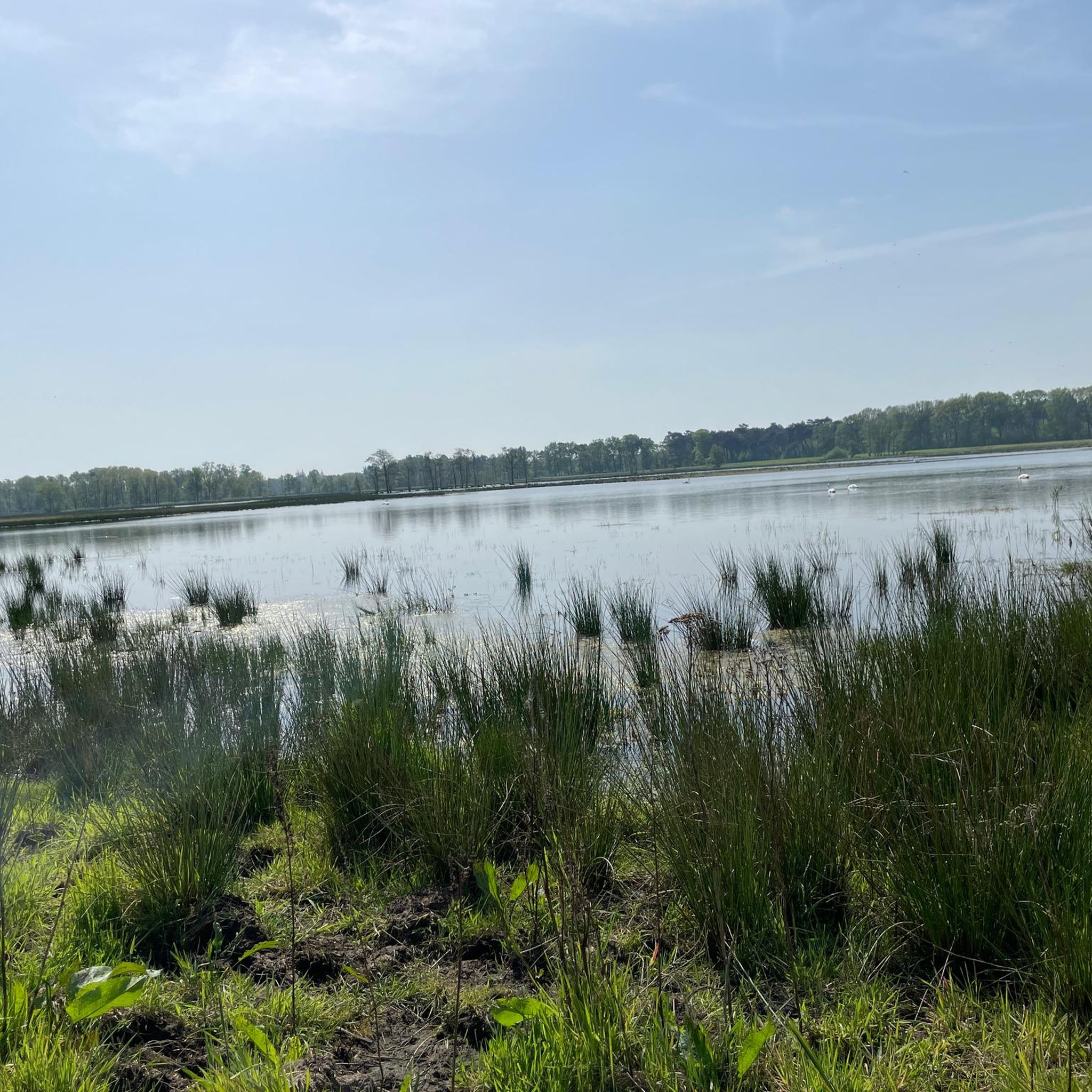
Quite a beautiful pond, especially on weekdays, because it is much quieter there and you can enjoy this beautiful part more.
0
0

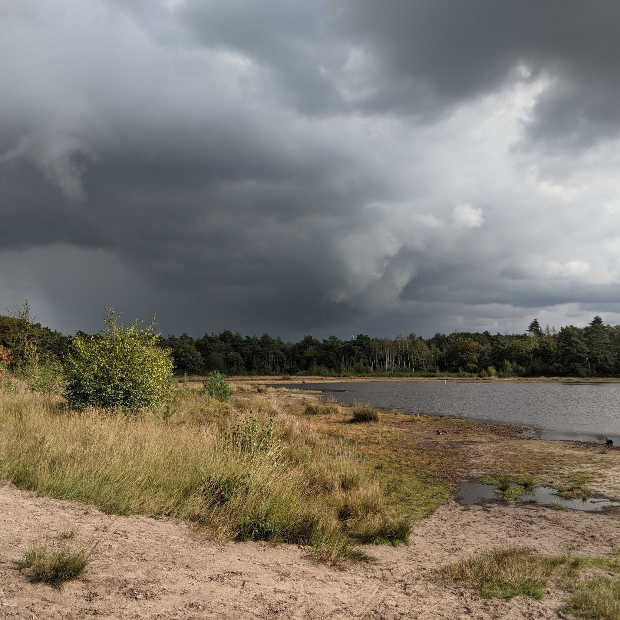
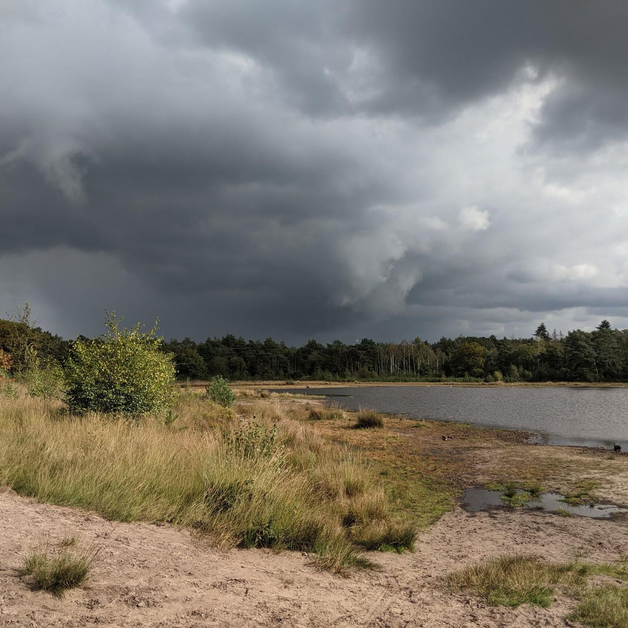
The Meeuwven is located just outside Aalst, on the Hutdijk. It is a nutrient-poor lake that depends on rainwater. After a dry summer, it is almost empty. The name has nothing to do with seabirds; rather, it is a corruption of "Nieuwven" (New Marsh) due to the marsh. Before the Napoleonic era, this was the name of the lake. The name may have changed due to a cartographer's misplacement.
9
0

In 2022, the re-meandering of the Warmbeek at the Achelse Kluis was completed over a length of approximately 1.7 kilometres. The objectives are the same as for almost all re-meandering and can be read on the information board. You can see the results.
6
0

The Warmbeek has a reasonable structural quality from the Zuid-Willemsvaart but still had a straightened and deepened route at the Achelse Kluis in Achel. With the re-meandering in 2022, the Warmbeek became approximately 700m longer. With this, VMM restored the natural water storage in the valley and typical stream habitats for a species-rich fauna and flora were created. This area functions again as a floodable valley that buffers extra water and therefore contributes to a climate-robust landscape.
6
0

nice route. Jan 2025 lots of puddles and mud on the walking path
3
0
왈레 주변에서 가장 인기 있는 명소


더 살펴보기
왈레 주변의 최고의 동굴을 찾기 위해 이 가이드를 확인해보세요:
