키르베르겐에서 가장 멋진 20개의 천연기념물
천연기념물을 방문하여 키르베르겐의 아름다운 풍경을 만나보세요. 키르베르겐에 있는 20
개의 천연기념물과 상세 정보를 살펴본 후에 방문하고 싶은 천연기념물을 다음 모험 계획에 추가해보세요!
마지막 업데이트: 9월 5, 2026
Wijngaardberg의 포도원
하이라이트 • 구조물
번역자 Google •
팁에 의해

포도밭 언덕의 와인 담
하이라이트 • 기념물
번역자 Google •
팁에 의해

이런 장소를 발견하려면 지금 가입하세요
최고의 싱글 트랙, 봉우리 및 다양한 흥미로운 야외 장소에 대한 추천을 받아보세요.
무료 회원 가입
안티탱크그라흐트 하흐트
하이라이트 • 구조물
번역자 Google •
팁에 의해

미스펠동크 자연보호구역
하이라이트 • 자연
번역자 Google •
팁에 의해
데메르강과 디일강의 합류점
하이라이트 • 강
번역자 Google •
팁에 의해

무료로 가입하여 키르베르겐 주변의 더 많은 자연 기념물을 발견하세요.
무료 회원 가입
이미 komoot 계정이 있나요?
오늘 무료 계정으로 시작하세요
다음 모험이 기다리고 있어요.
로그인 또는 가입하기

커뮤니티 팁


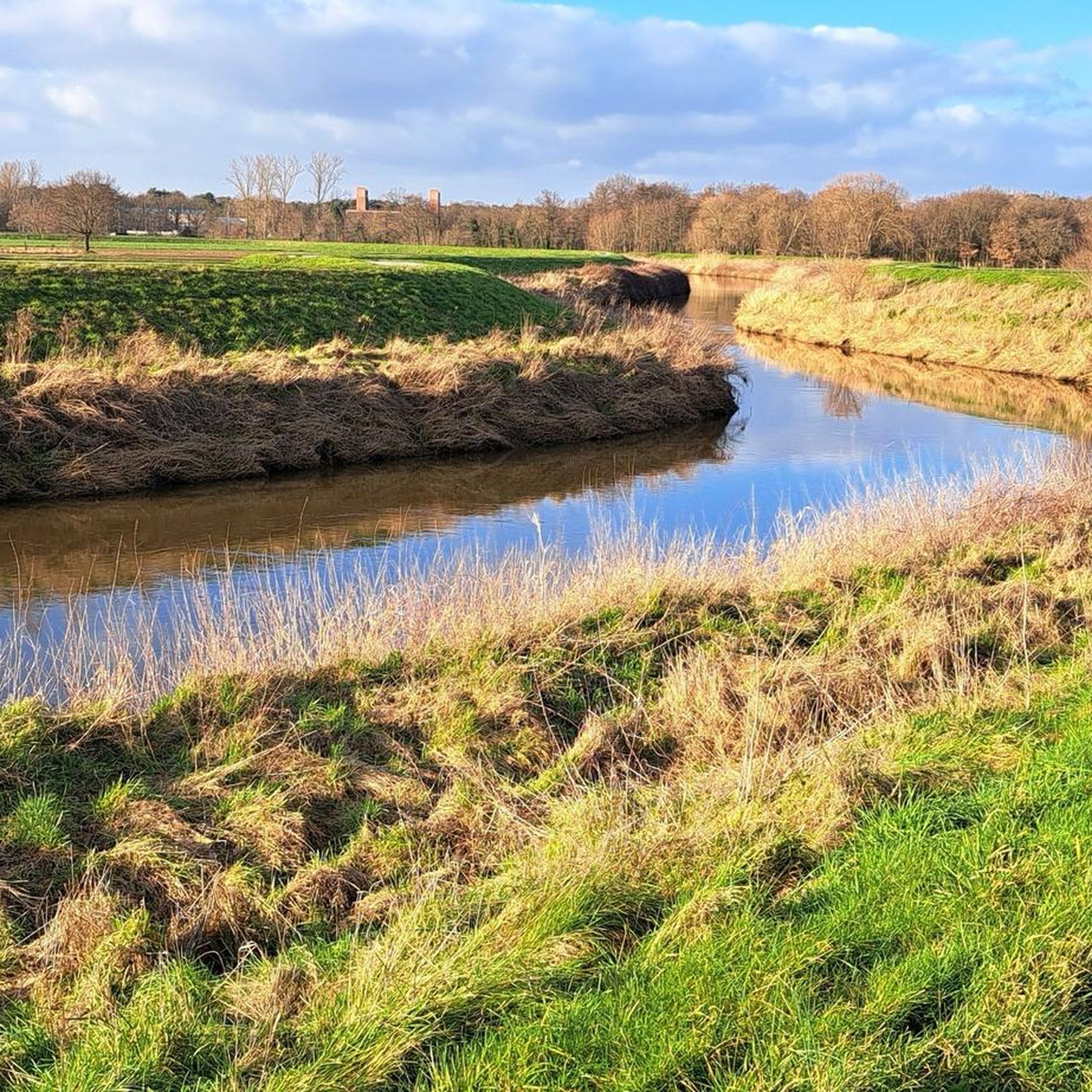
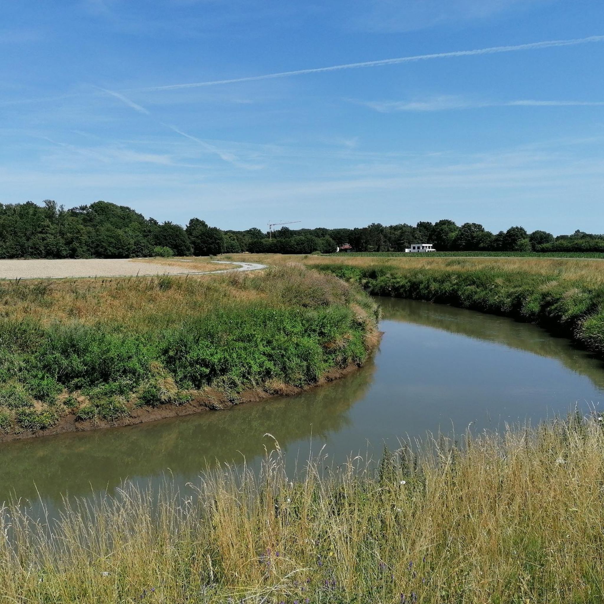
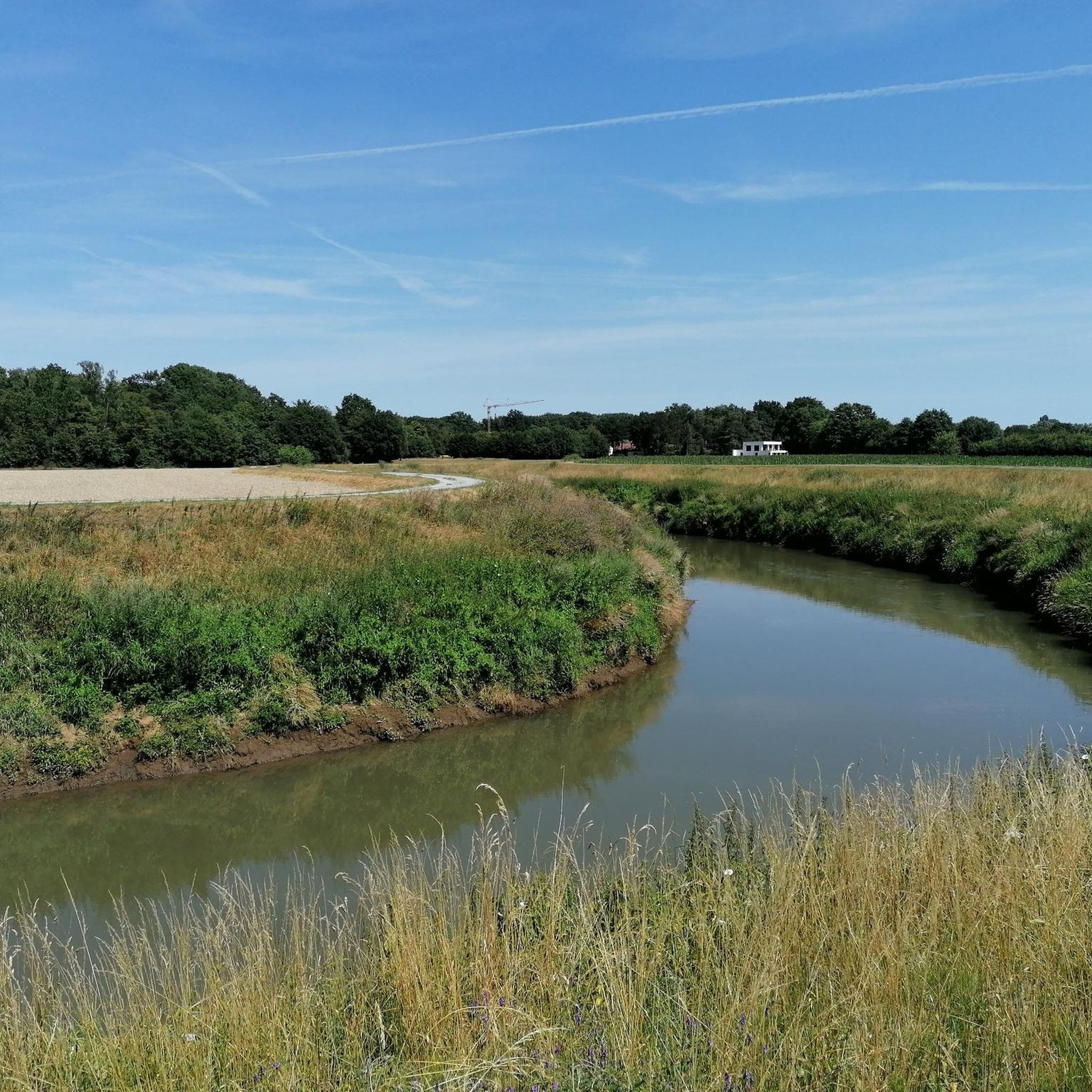
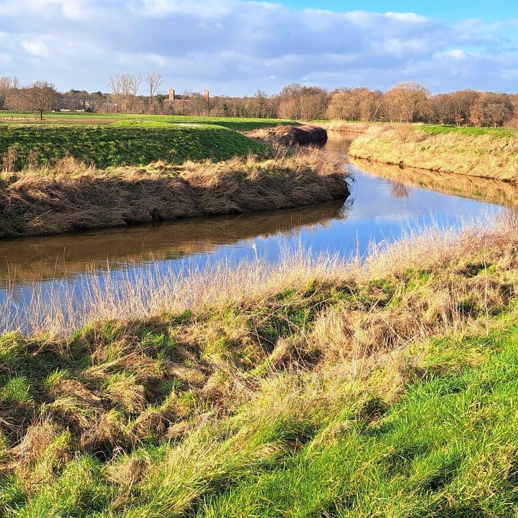
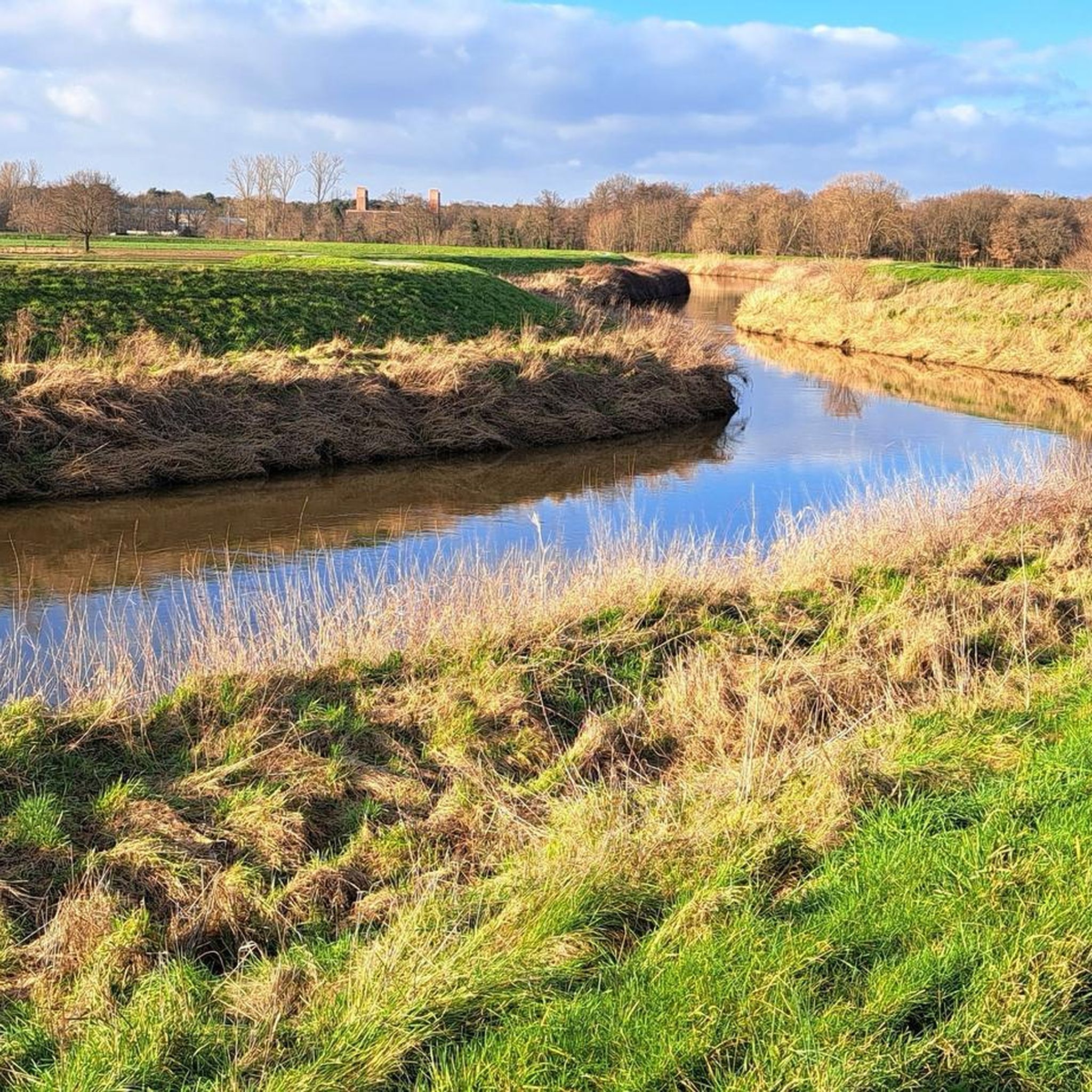
Mispeldonk Nature Reserve is a beautiful and valuable nature reserve in Bonheiden, located in the province of Antwerp. The area is known for its unique ecosystems, rich biodiversity and the natural beauty of the landscape. Here are some key points about Mispeldonk: Location and Size Mispeldonk is located between Bonheiden and the nearby municipality of Rijmenam, along the banks of the Dijle. The area is part of the larger Dijle landscape, which is known for its wet meadows, meandering waterways and rich flora and fauna. Mispeldonk covers approximately 50 hectares and consists of a mix of marshlands, meadows, forests and ponds. Ecological Importance Mispeldonk is a protected nature reserve because of its special ecological value. The area has a typical structure of a flood plain of the Dijle, which makes it an important habitat for many plant and animal species: • Flora: Various rare and protected plant species grow in the area, such as marsh marigolds, cuckoo flowers and water violets. The wet grasslands and marshes provide unique vegetation that is less common elsewhere in the region. • Fauna: Mispeldonk is an important habitat for birds such as the bluethroat, water rail and reed warbler. Amphibians such as the crested newt and the green frog can also be found there. Furthermore, the area is rich in insects, including butterflies and dragonflies, that thrive in the moist environment. Water management The nature reserve plays an important role in local water management. It is located in a flood-prone area along the Dijle and functions as a natural buffer against flooding. In the event of high water levels, the area can collect water and thus help prevent flooding in nearby villages. The nature reserve contributes to the preservation of water quality by filtering and purifying the water through natural processes. Recreation and Experience Mispeldonk is a popular place for nature lovers and hikers. The area is accessible via various hiking trails that lead through the meadows and forests. There are signposted routes that give walkers the chance to explore the diversity of the landscape and enjoy the peace and quiet of nature. Birdwatchers enjoy visiting the area because of the variety of bird species that can be seen, especially during the breeding season and the migratory bird periods. Management and Protection The nature reserve is managed by Natuurpunt, a Belgian organisation that is committed to nature conservation. Natuurpunt carries out management work to protect biodiversity and maintain the landscape. This includes mowing grasslands, removing invasive plant species and maintaining the walking paths. There is collaboration with local farmers for nature-friendly agriculture, whereby meadows are extensively grazed or mowed, so that they remain suitable for meadow birds and rare plants.
6
1


The Haacht Anti-Tank Canal is part of one of the defense lines that were constructed in the run-up to the Second World War against the threatened invasion of the German army. The Antitank Canal is in fact a concrete wall of more than 3 kilometers long and approximately 3 meters high with a moat in front. Today, the wall and moat are still virtually intact and cut through the Haacht landscape.
11
0
키르베르겐 주변에서 가장 인기 있는 명소


더 살펴보기
키르베르겐 주변의 최고의 동굴을 찾기 위해 이 가이드를 확인해보세요:
