경로플래너기능업데이트
App
로그인 또는 가입
앱 다운로드
로그인 또는 가입
경로
Places to see
Natural Monuments
이탈리아
칼라브리아

로크리

로크리‬에서 가장 멋진 ‪10‬개의 천연기념물


천연기념물을 방문하여 로크리의 아름다운 풍경을 만나보세요. 로크리에 있는 10
개의 천연기념물과 상세 정보를 살펴본 후에 방문하고 싶은 천연기념물을 다음 모험 계획에 추가해보세요!

마지막 업데이트: 10월 29, 2026

팀페 디 무톨로(남부 돌로미티)

하이라이트 • 자연 기념물

Immerso nel territorio orientale del Parco Nazionale d’Aspromonte si trova il comune di Canolo, un meraviglioso angolo nascosto della Calabria, dove natura ed esperienze autentiche ci aspettano, lontani dalla vita …

팁에 의해

라이딩 보기휴대폰으로 전송
저장

몬테 트레 피치(705m)

하이라이트 • 정상

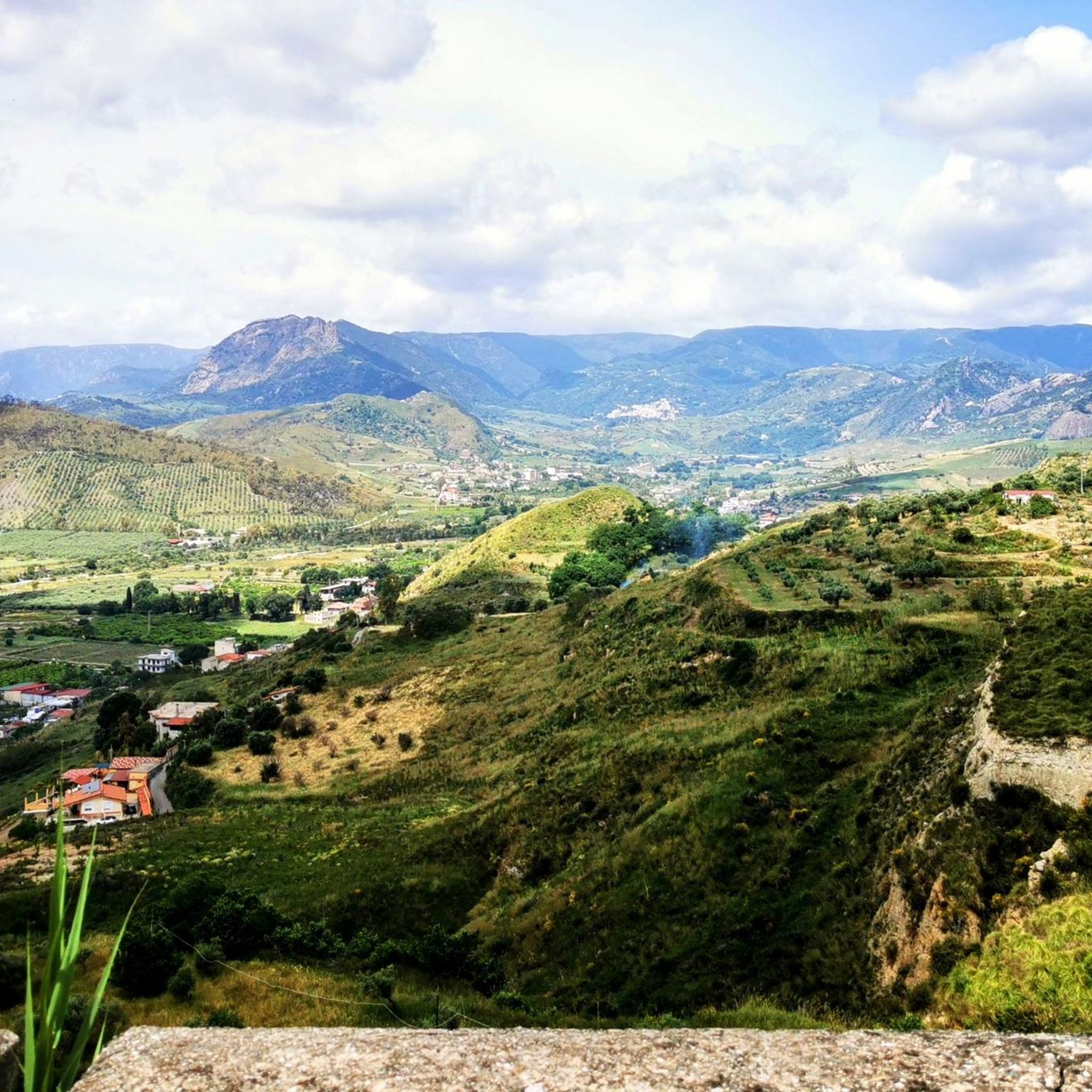
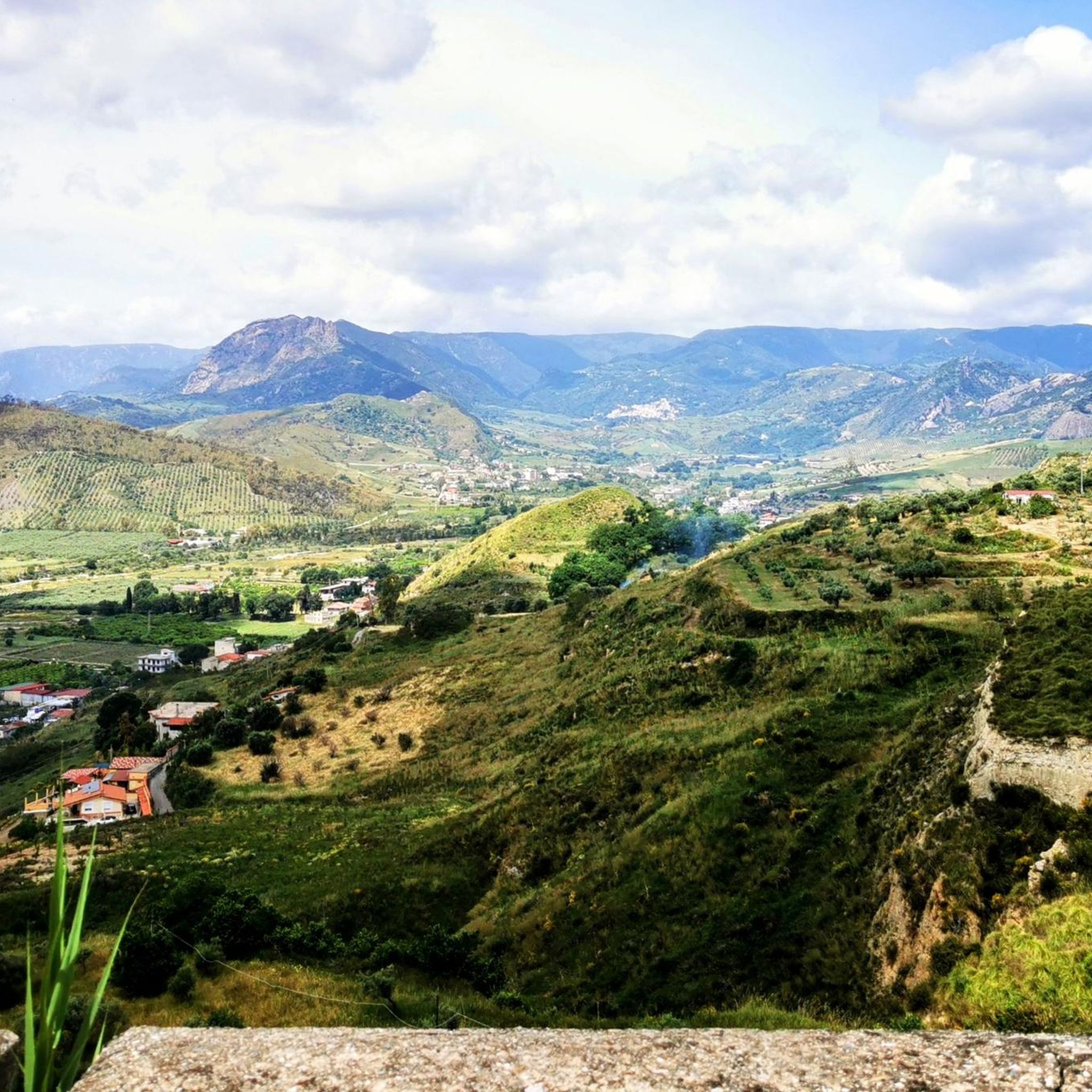
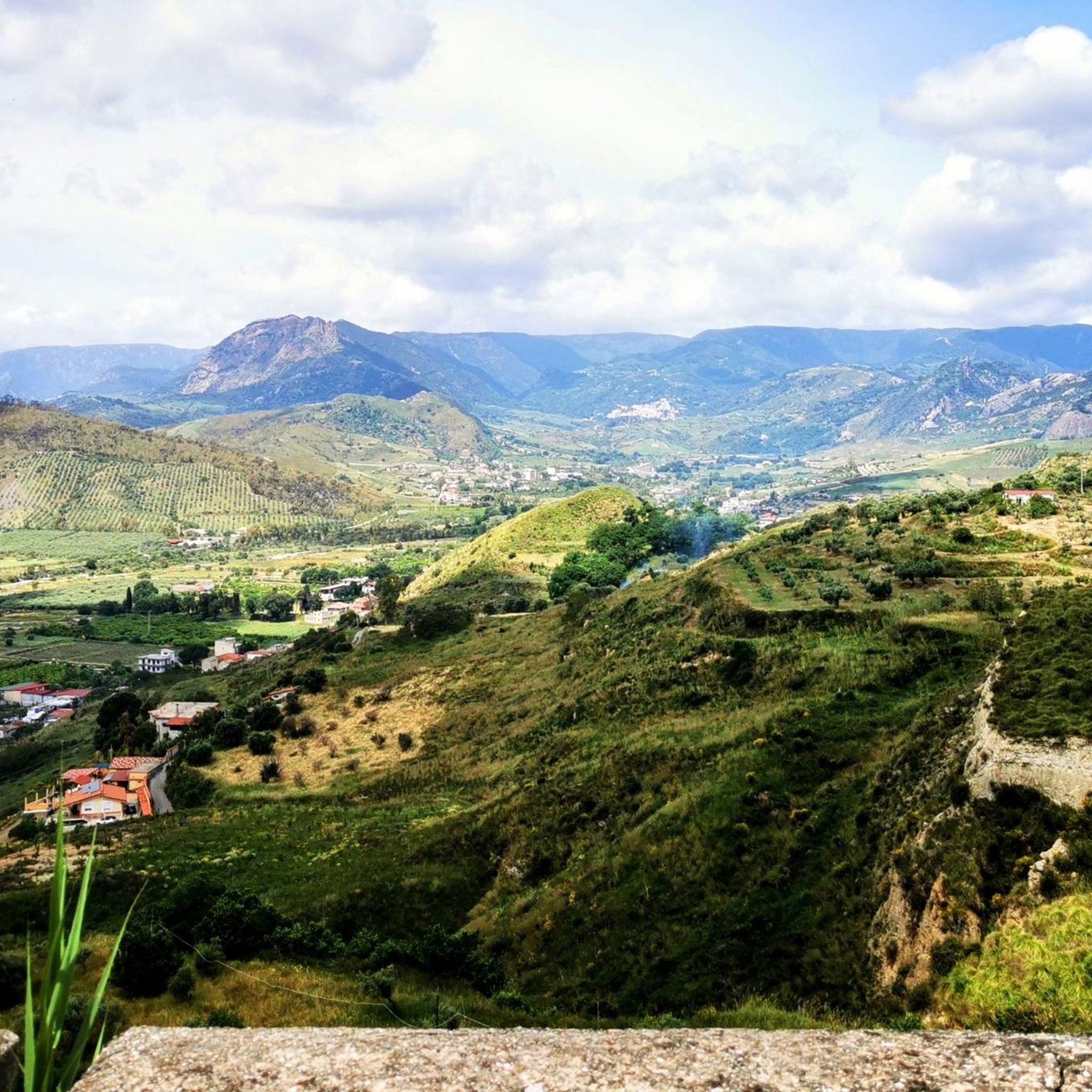
Monte Tre Pizzi, known for its three-peaked shape, is a 700 meter elevation located between the municipalities of Antonimina and Ciminà, on the borders of the Aspromonte National Park. From …

번역자 Google •

팁에 의해

저장

이런 장소를 발견하려면 지금 가입하세요

최고의 싱글 트랙, 봉우리 및 다양한 흥미로운 야외 장소에 대한 추천을 받아보세요.

무료 회원 가입

트레 피치 등산로

하이라이트 (구간) • 트레일

Take the SP78 which descends from Zomaro to Ciminà. The whole path is on the ridge overlooking Antonimina, with some slight ups and downs. 4.5 km with a d + of 124 meters.

번역자 Google •

팁에 의해

저장

라게토 디 크로코

하이라이트 • 호수

Beautiful little lake, right next to the hiking trails

번역자 Google •

팁에 의해

저장

트레 피치 전망대

하이라이트 • 전망대

The view from the top is very nice.

번역자 Google •

팁에 의해

저장

무료로 가입하여 로크리 주변의 더 많은 자연 기념물을 발견하세요.

무료 회원 가입

이미 komoot 계정이 있나요?

오늘 무료 계정으로 시작하세요

다음 모험이 기다리고 있어요.
로그인 또는 가입하기

로크리 주변 인기 장소

로크리 사이클링

로크리 로드 사이클링 경로

로크리 하이킹

로크리 MTB 트레일

로크리 러닝 트레일

커뮤니티 팁

Alex
9월 11, 2025, Vista Panoramica dei Tre Pizzi

The first 3 km are a nightmare. Overgrown paths, sharp thorns. The trail is barely visible. GPS is a must. Once you reach the top, there's a marked path that's easy to navigate, with beautiful views. The last 4 km are another nightmare, and GPS is essential otherwise you'll get lost. The paths are extremely bad and difficult to navigate. I don't know who set them out, but they're terrible.

번역: Google•

0

0

Beautiful little lake, right next to the hiking trails

번역: Google•

6

0

Monte Tre Pizzi, known for its three-peaked shape, is a 700 meter elevation located between the municipalities of Antonimina and Ciminà, on the borders of the Aspromonte National Park. From its top, you can enjoy a panorama that extends from the Gerace fortress to the Ionian coast, and the ruins of an ancient convent of hermit friars, probably from the 12th century, known as "The little church of the Three Pizzi" are visible.

번역: Google•

2

0

Majestic and unexpected, it is possible to climb up via the quarry road, which is asphalted and all in all in good condition.

번역: Google•

0

0

Superb view of the Ionian

번역: Google•

1

0

The Crocco lake is the perfect place for a break along the way. Here you will find peace and quiet.

번역: Google•

4

0

From the top there is a great view down.

번역: Google•

1

0

The view from the top is very nice.

번역: Google•

0

0

로크리 주변에서 가장 인기 있는 경로

로크리 사이클링

로크리 주변에서 가장 인기 있는 명소

Places to see

Store rating

komoot 모바일 앱으로 영감을 받아보세요

무료 komoot 계정로 끝없는 야외 모험을 손쉽게 찾고, 맞춤 설정하며 길안내할 수 있어요.

또는

지금 komoot에 가입하세요
Store rating

더 살펴보기

로크리 주변의 최고의 동굴을 찾기 위해 이 가이드를 확인해보세요:

오피도 마메르티나코솔레토파르코 나치오날레 델아프로몬테시노폴리산테우페미아 다프로몬테델리아누오바실라바라포디오로구디레지오 디 칼라브리아플라티스키도아프리카산루카사모산 로베르토바갈라디산 로렌조카레리로카포르테 델 그레코스틸로산타 크리스티나 다프로몬테치미나카르데토아스프로몬테의 산토 스테파노몰로키오비봉이콘도후리카울로니아아도르파자노카놀로게라스치타노바안토니미나산 피에트로 디 카리다맘몰라베네스타어보바산타가타 델 비앙코산 조르지오 모르게토산틸라리오 델로 이오니오보발리노아그나나 칼라브라포르티글리올라산 프로코피오멜리쿠까시데르노바그나라 칼라브라그로테리아멜리토 디 포르투 살보몬테벨로 이오니코산 조반니 디 게라체플라카니카갈라트로마톤모타 산 조반니타우리노바라가나디조이오사 이오니카보바 마리나팔리지세미나 나라칼라나친퀘프론디아스프로몬테의 산타알레시오카시냐나로첼라 이오니카테라노바 사포 미눌리오카라파 델 비앙코

근처 어드벤처 가이드

포르티글리올라 즐길거리

background

새로운 정복을 위한 준비를 하세요

무료로 가입하기
탐험하기
경로경로 플래너기능바우처 사용하이킹MTB 트레일로드 사이클링 경로바이크패킹사이트맵
앱 다운로드
소셜 미디어에서 팔로우하기

© komoot GmbH

개인 정보 보호 정책