산테우페미아 다프로몬테에서 가장 멋진 18개의 천연기념물
천연기념물을 방문하여 산테우페미아 다프로몬테의 아름다운 풍경을 만나보세요. 산테우페미아 다프로몬테에 있는 18
개의 천연기념물과 상세 정보를 살펴본 후에 방문하고 싶은 천연기념물을 다음 모험 계획에 추가해보세요!
마지막 업데이트: 10월 28, 2026
Monte Sant'Elia
하이라이트 • 전망대
번역자 Google •
팁에 의해

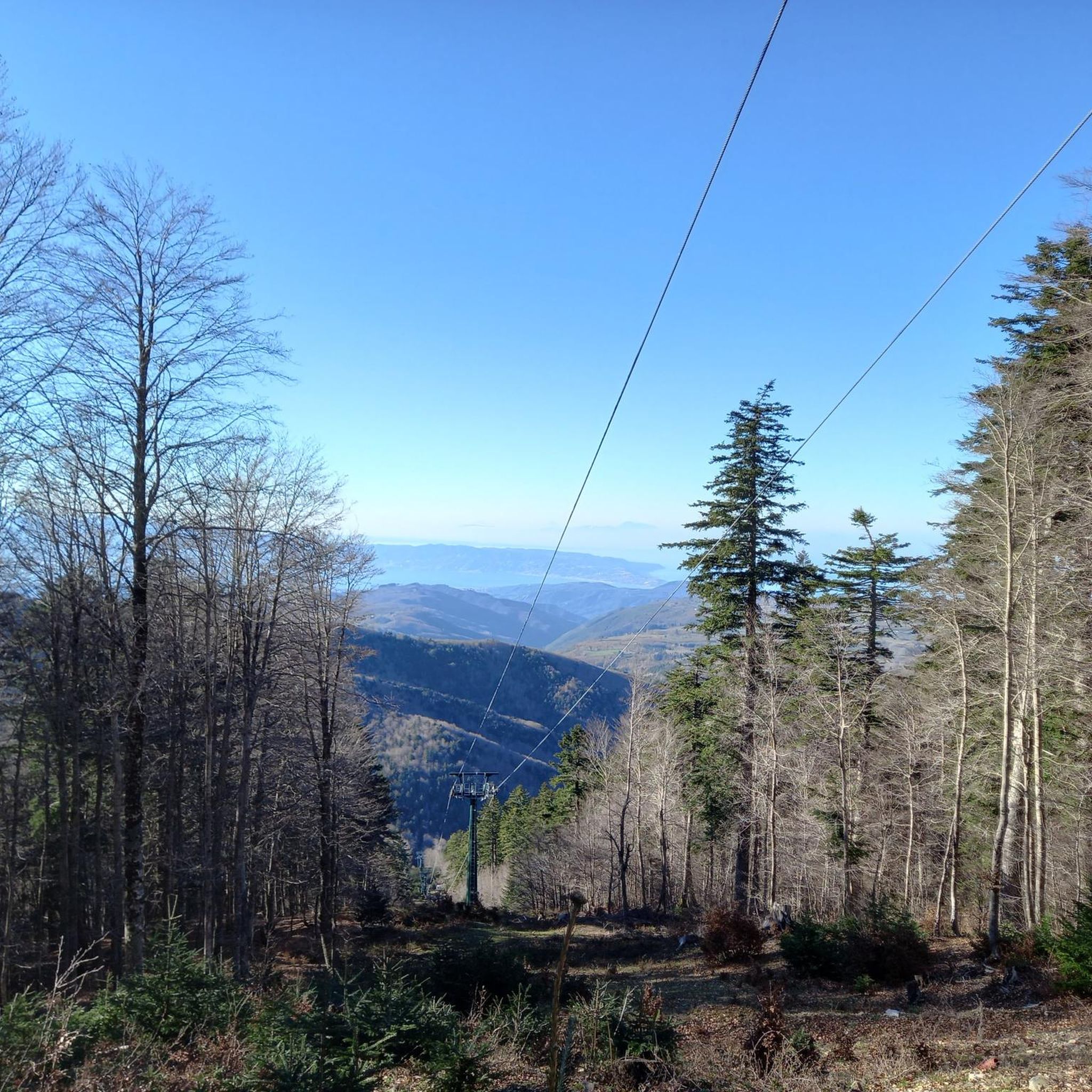
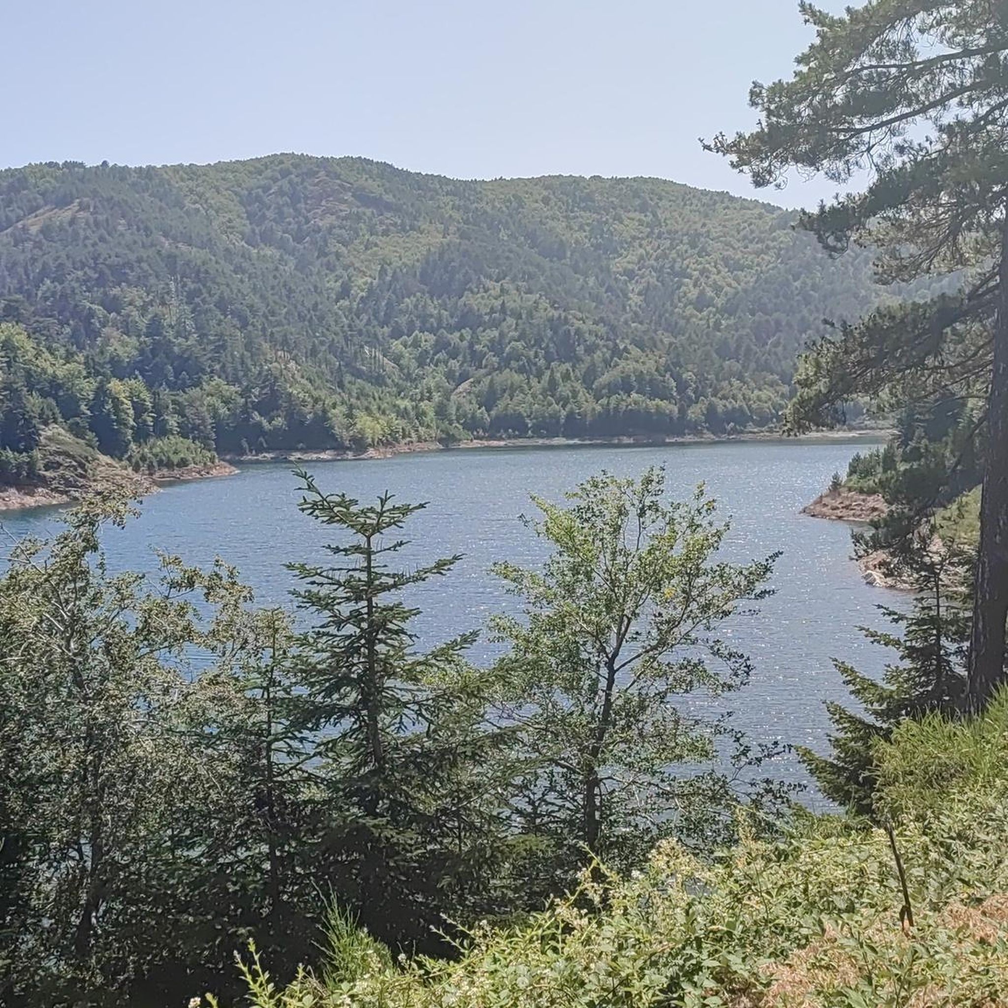
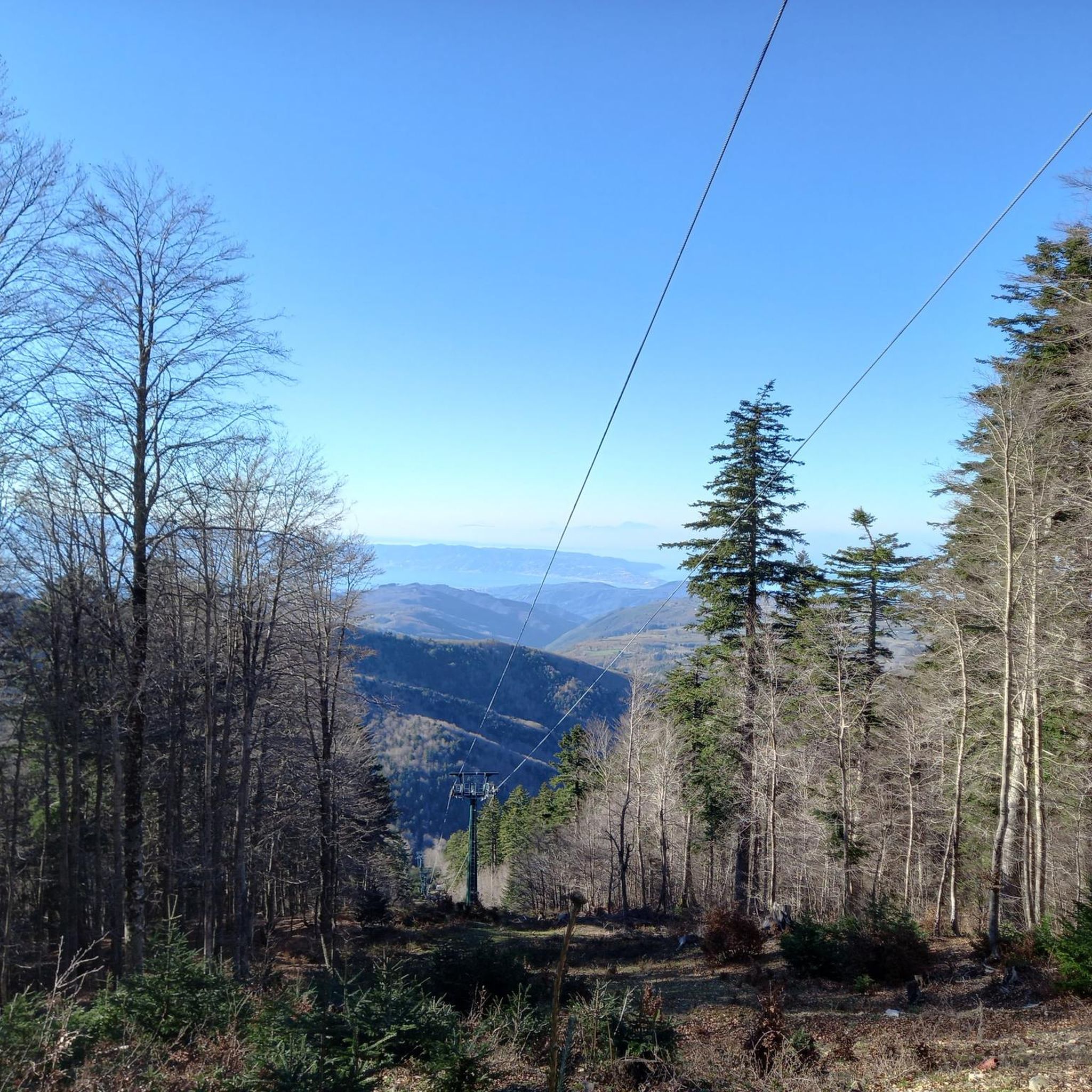
아스프로몬테 국립공원
하이라이트 (구간) • 숲
번역자 Google •
팁에 의해

이런 장소를 발견하려면 지금 가입하세요
최고의 싱글 트랙, 봉우리 및 다양한 흥미로운 야외 장소에 대한 추천을 받아보세요.


몬탈토 (1956m)
하이라이트 • 정상
번역자 Google •
팁에 의해
무료로 가입하여 산테우페미아 다프로몬테 주변의 더 많은 자연 기념물을 발견하세요.
이미 komoot 계정이 있나요?
오늘 무료 계정으로 시작하세요
다음 모험이 기다리고 있어요.
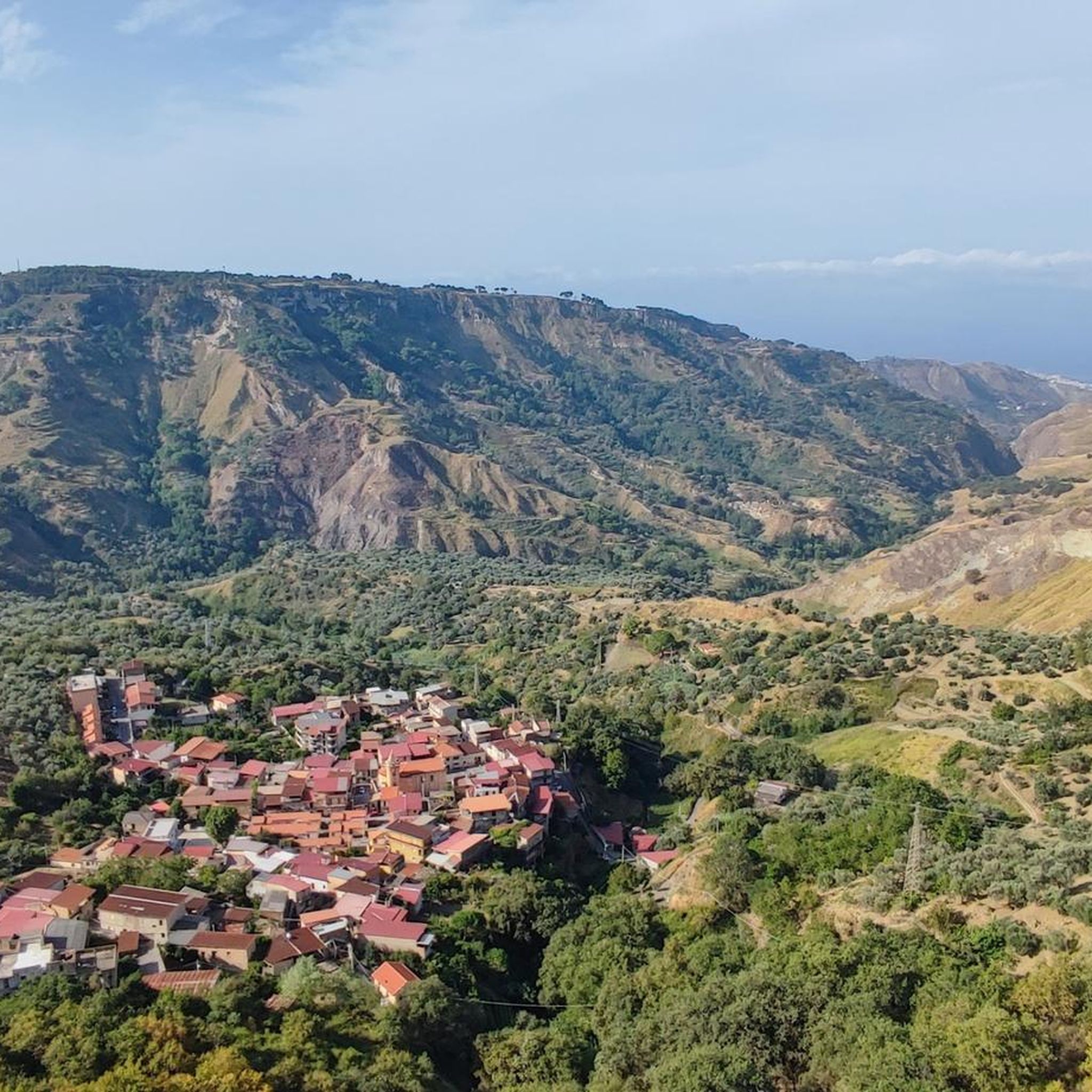
커뮤니티 팁

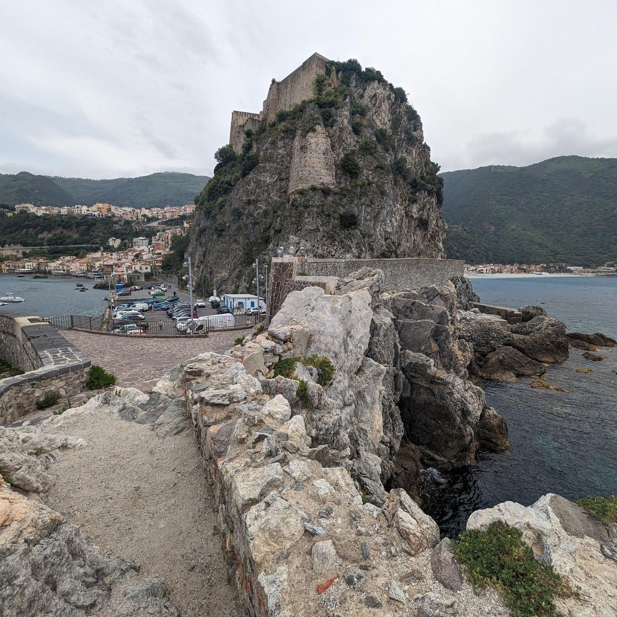
이 'Sentiero del Tracciolino' 구간은 발을 디딜 곳을 잘 살피며 매우 조심해서 이동하는 것이 좋습니다. 실제로 팔미에서 바냐라 칼라브라까지 이어지는 칼라브리아의 가파른 절벽을 따라 이어지며, 일부 구간은 정말 좁습니다. 또한, 바다 쪽으로 식생이 우거져 있으면 발을 잘못 디딜 위험이 있으며, 흔히 말하는 '발이 빠지는' 위험이 있습니다. 아름다운 바다 전망 또한 걷는 길에서 주의를 산만하게 할 수 있습니다.
0
0

Panoramic viewpoint above the famous "Tracciolino" path that goes from Palmi to the slopes of Bagnara
1
0

The climb from Palmi to Monte Sant' Elia can be strenuous even in late October, but the view of the coast and the Aeolian Islands in the distance justifies the effort, at least in good weather. On the way back you can choose a slightly longer detour that leads back to Palmi below the mountain. You can commute to the train station by bus (no guarantee :-))
1
0

Almost 600 meters above sea level and overlooking the Tyrrhenian Sea, Monte Sant'Elia is a splendid panoramic point reachable by asphalt. From here you have a great view of Palmi and the Gioia Tauro plain, as well as the splendid Calabrian coast. It is part of the Aspromonte, of which it is a western offshoot.
2
0

One of the iconic places of the place. Breathtaking panorama at the top of Mount S. Elis. To the north, you can see the entire Costa degli Dei, to the south the Strait of Messina. Not a difficult climb, perfect road.
0
1
From Nicotera to Nicotera Marina, continue along the Piana di Gioia Tauro. Continue along the state road. As soon as you enter Palmi, at the roundabout, follow the signs for Monte. Once you reach the top, turn right. The effort will be rewarded with a breathtaking view. To the north the Piana di Gioia Tauro and the Costa degli Dei, to the south the Strait of Messina, in front with the clear sky, the Aeolian Islands. What more could you want. The climb is not long and with a minimum of training, suitable for everyone. Done with a racing bike.
0
1

Beautiful panorama overlooking the Ionian and Tyrrhenian Sea.
2
0

The descent from Sant Elia was unfortunately totally overgrown. So we had to take the detour via the road to Palmi. Overall, however, the path was very easy to walk.
1
0
산테우페미아 다프로몬테 주변에서 가장 인기 있는 경로
산테우페미아 다프로몬테 주변에서 가장 인기 있는 명소


더 살펴보기
산테우페미아 다프로몬테 주변의 최고의 동굴을 찾기 위해 이 가이드를 확인해보세요:
