멜리토 디 포르투 살보에서 가장 멋진 7개의 천연기념물
천연기념물을 방문하여 멜리토 디 포르투 살보의 아름다운 풍경을 만나보세요. 멜리토 디 포르투 살보에 있는 7
개의 천연기념물과 상세 정보를 살펴본 후에 방문하고 싶은 천연기념물을 다음 모험 계획에 추가해보세요!
마지막 업데이트: 10월 15, 2026
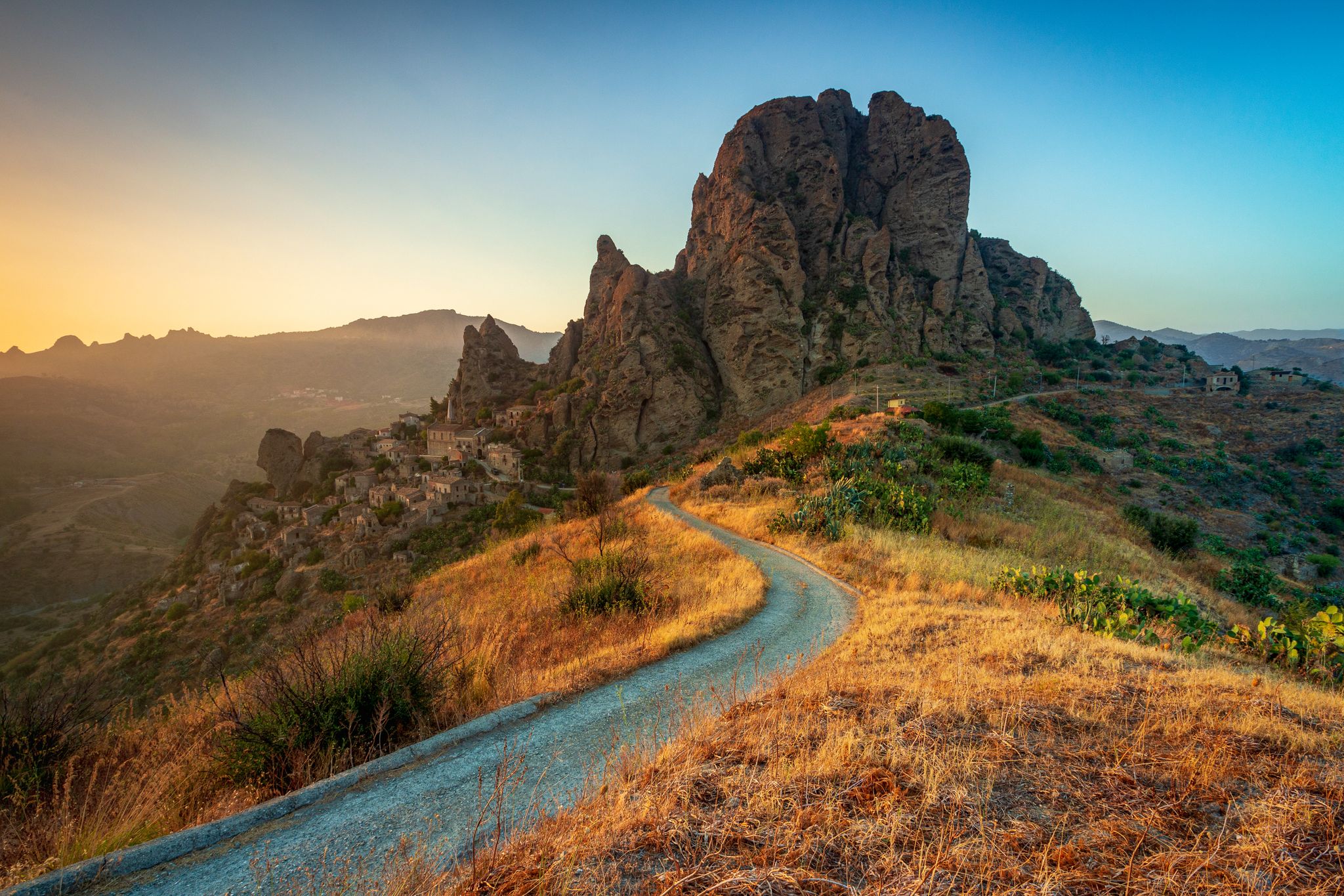
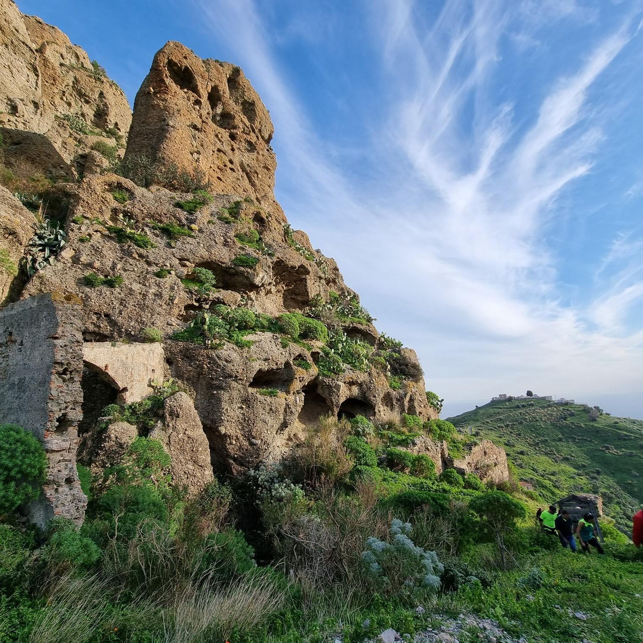
몬테 칼바리오의 펜테다틸로 마을
하이라이트 • 정착지
번역자 Google •
팁에 의해


이런 장소를 발견하려면 지금 가입하세요
최고의 싱글 트랙, 봉우리 및 다양한 흥미로운 야외 장소에 대한 추천을 받아보세요.

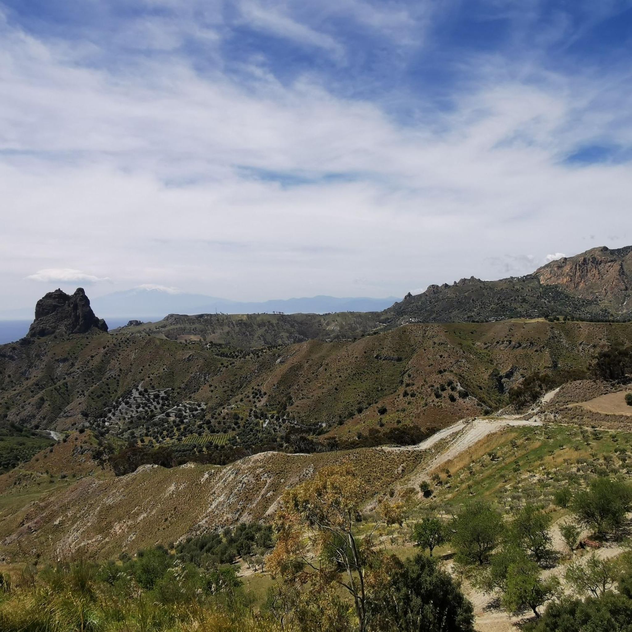
아멘돌레아와 아스프로몬테 산맥 전경
하이라이트 • 전망대
번역자 Google •
팁에 의해
피우마라 디 아멘돌레아
하이라이트 • 강
번역자 Google •
팁에 의해
무료로 가입하여 멜리토 디 포르투 살보 주변의 더 많은 자연 기념물을 발견하세요.
이미 komoot 계정이 있나요?
오늘 무료 계정으로 시작하세요
다음 모험이 기다리고 있어요.
멜리토 디 포르투 살보 주변의 다른 모험

커뮤니티 팁

Suitable equipment is needed: boots, poles and accessories, but the important thing is to have an adequate supply of water because there are no fountains along the route.
1
0


Situated at 250 metres above sea level, Pentidattilo stands perched on the cliff of Monte Calvario, with a characteristic shape that resembles that of a cyclopean hand with five fingers, and from which the name of the village derives in Greek πέντα-δάκτυλος (transliterated pènta-dàktylos), meaning "five fingers". The ancient village, which stood at 320 metres above sea level, was definitively abandoned in 1971, after having been declared uninhabitable three years earlier: the population, in fact, had migrated slightly towards the valley, forming a new small centre from which the old ghost town could be admired. Only recently have some artisans restarted some shops, to which a small restaurant has even been added. The village has undergone some redevelopment works, such as the restoration of some buildings, in addition to the resurfacing of the main street. Every summer Pentidattilo is a stop of the travelling festival Paleariza, an event of Greek culture on the international scene. Between August and September it also hosts the Pentedattilo Film Festival, an international short film festival. Source Wikipedia
0
0

Beautiful almost abandoned ancient village, it is part of the English route
1
0

From Amendolea you can admire the spectacular panorama of the fiumara and the mountains that surround the town. In the distance you can also see the Tyrrhenian Sea.
5
0
The Amendolea river originates in the Aspromonte park at 1,720 meters above sea level, begins its course between cliffs and gorges and creates wonderful waterfalls. The name seems to derive from the presence of almond trees along its course. After about 39 kilometers it flows into the Ionian Sea at Condofuri Marina.
6
0
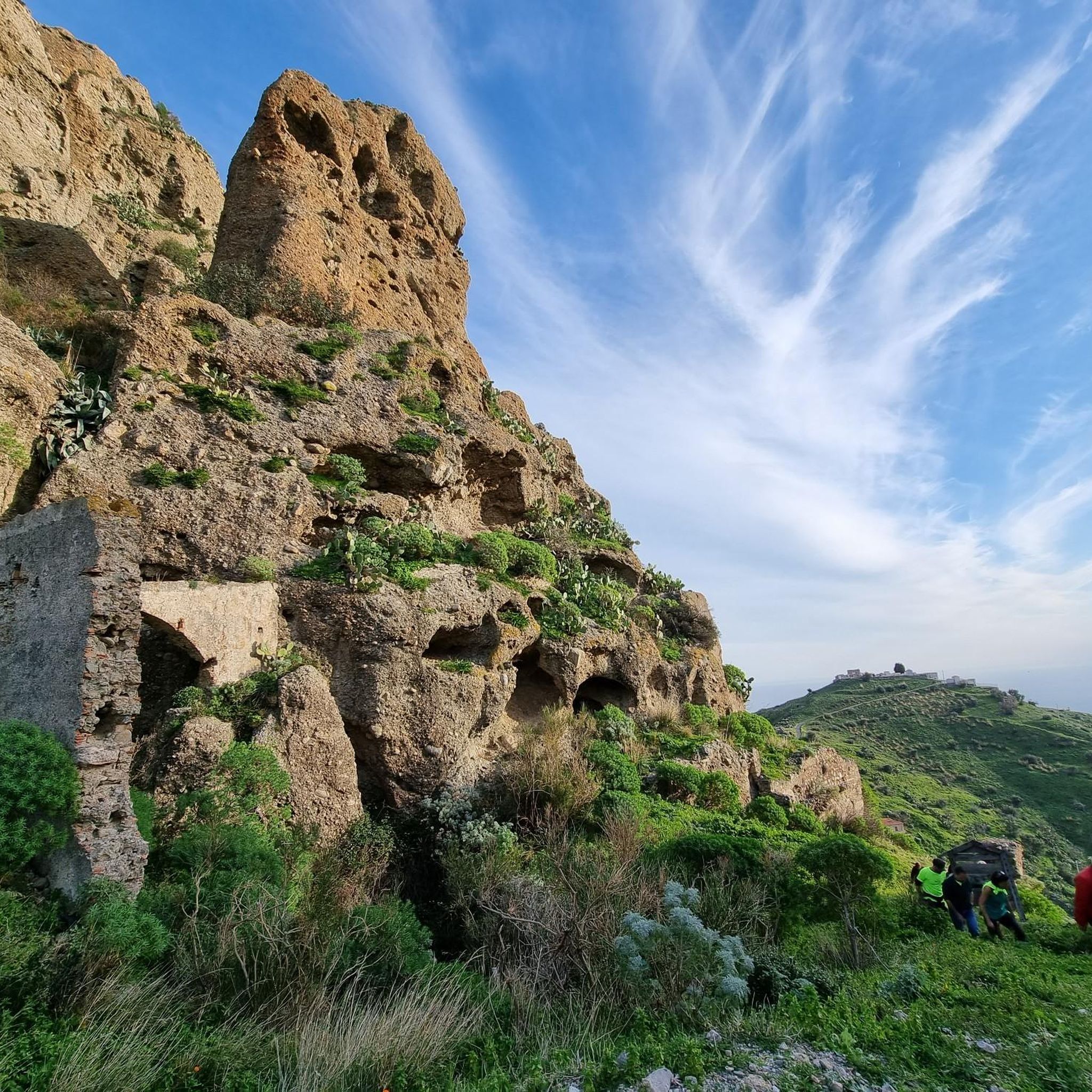
Located 250 meters above sea level, Mount Calvario rises above the village of Pentedattilo which takes its name from its shape, namely the five fingers of a gigantic hand.
4
0

A village with an ancient history, apparently abandoned, in reality small solid artisan businesses live inside the village, which alone are worth a visit to the place. I recommend the circumnavigation of Monte Calvario, which makes the visit to the village more complete. The stretch of single track trail on the NW side is beautiful
2
0
멜리토 디 포르투 살보 주변에서 가장 인기 있는 경로
멜리토 디 포르투 살보 주변에서 가장 인기 있는 명소


더 살펴보기
멜리토 디 포르투 살보 주변의 최고의 동굴을 찾기 위해 이 가이드를 확인해보세요:
