하노버에서 가장 멋진 20개의 산장 & 오두막집
산장은 야외 활동 하이라이트에 자주 등장하는 아이템이에요. 하노버에서 가장 멋진 오두막집과 통나무집을 아래에서 살펴본 후에 마음에 드는 오두막집/산장을 다음 모험 계획에 추가해보세요.
마지막 업데이트: 10월 12, 2026
노르드만스투름과 숲속 레스토랑
하이라이트 • 전망대
번역자 Google •
팁에 의해


이런 장소를 발견하려면 지금 가입하세요
최고의 싱글 트랙, 봉우리 및 다양한 흥미로운 야외 장소에 대한 추천을 받아보세요.
크로이츠부헤 기념비 및 쉼터
하이라이트 • 기념물
번역자 Google •
팁에 의해


비젠다흐하우스 라첸 비어가르텐
하이라이트 • 레스토랑
번역자 Google •
팁에 의해

Taternpfahl과 쉼터
하이라이트 • 휴식 공간
번역자 Google •
팁에 의해
Stuckis 목장 오두막
하이라이트 • 산장
번역자 Google •
팁에 의해

Bössquelle 샘과 쉼터
하이라이트 • 자연 기념물
번역자 Google •
팁에 의해

무료로 가입하여 하노버 주변의 더 많은 오두막과 캐빈을 발견하세요.
이미 komoot 계정이 있나요?
오늘 무료 계정으로 시작하세요
다음 모험이 기다리고 있어요.
하노버 주변 인기 장소

European Divide Trail — 7,600 km across the continent

오화리스타 80일 시작스
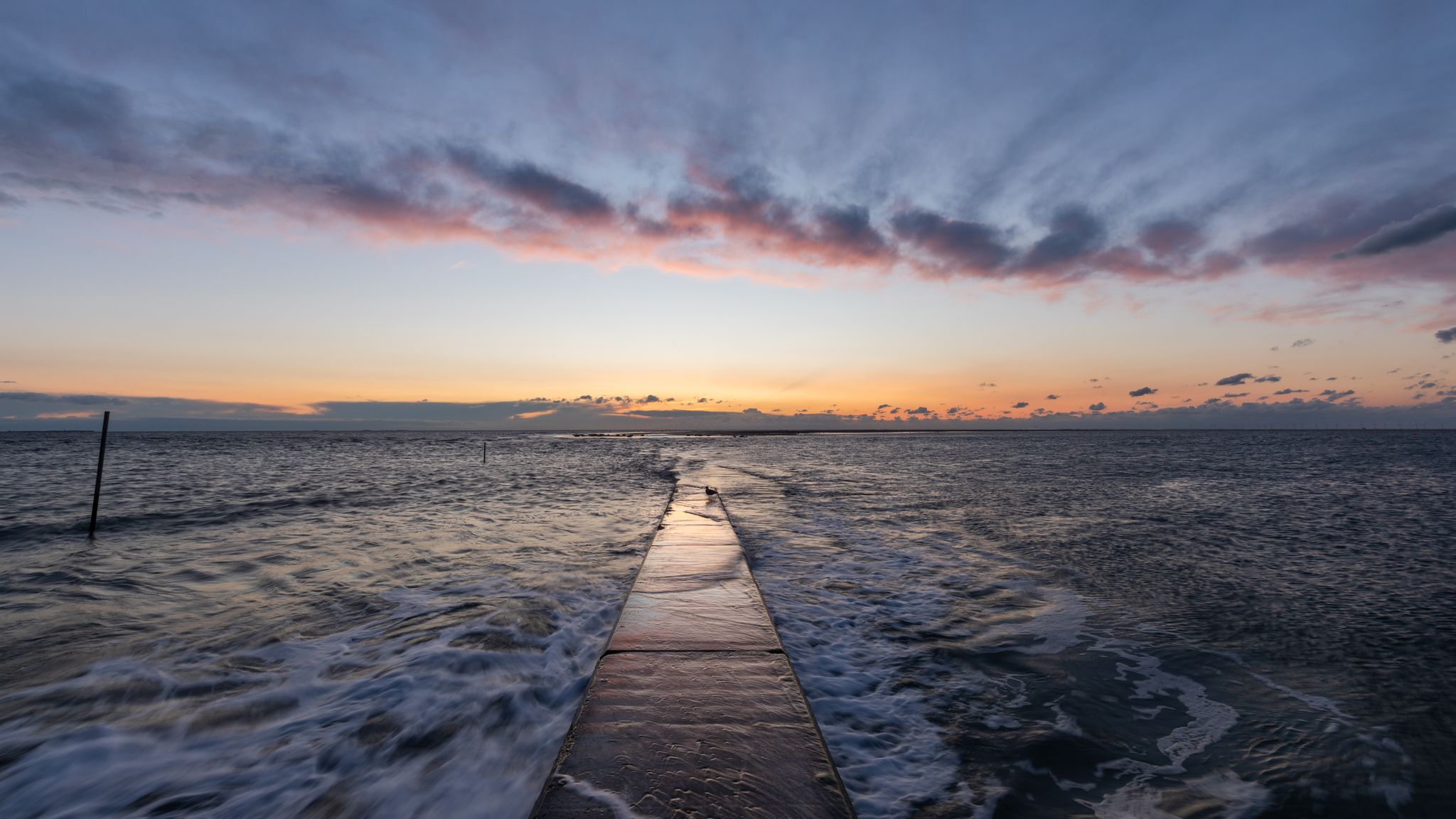
Nationalen Naturlandschaften in Niedersachsen
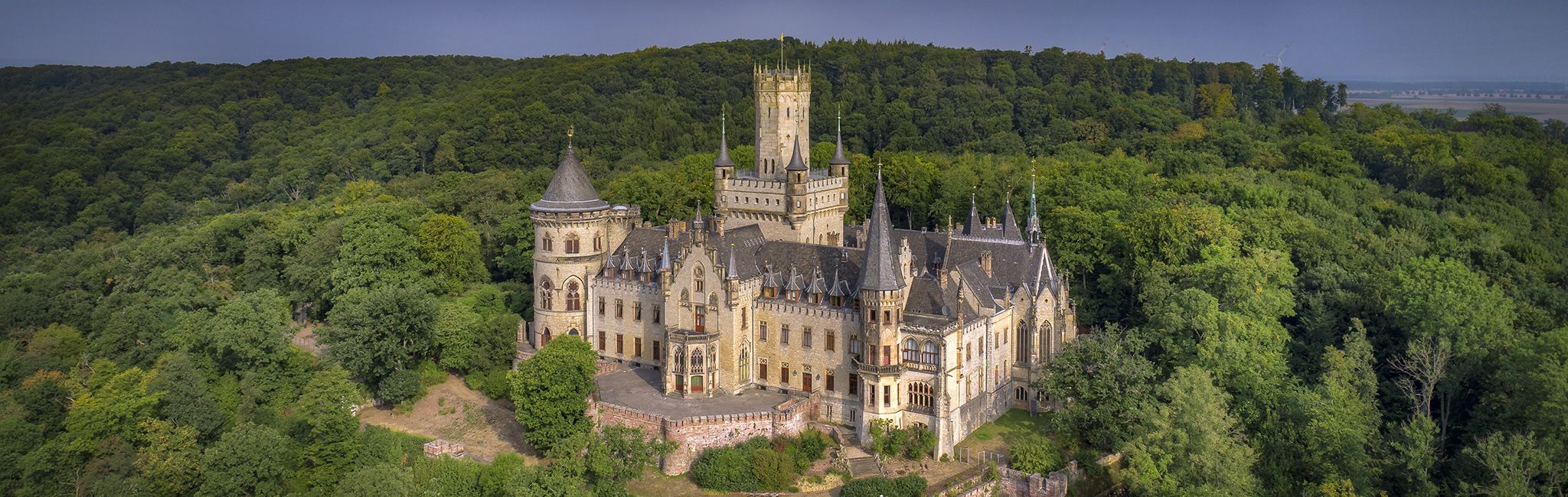
Cultural route in Niedersachsen – By Bike through Hannover and the surrounding countryside
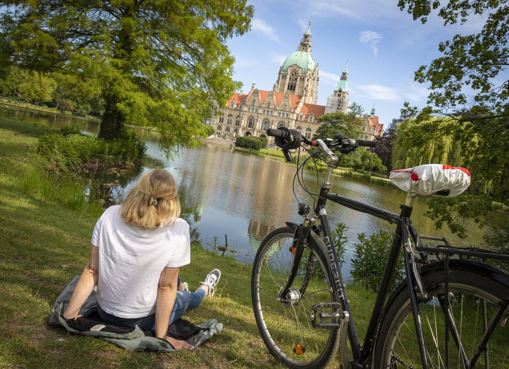
On two wheels - 9 cities + 2 in Lower Saxony
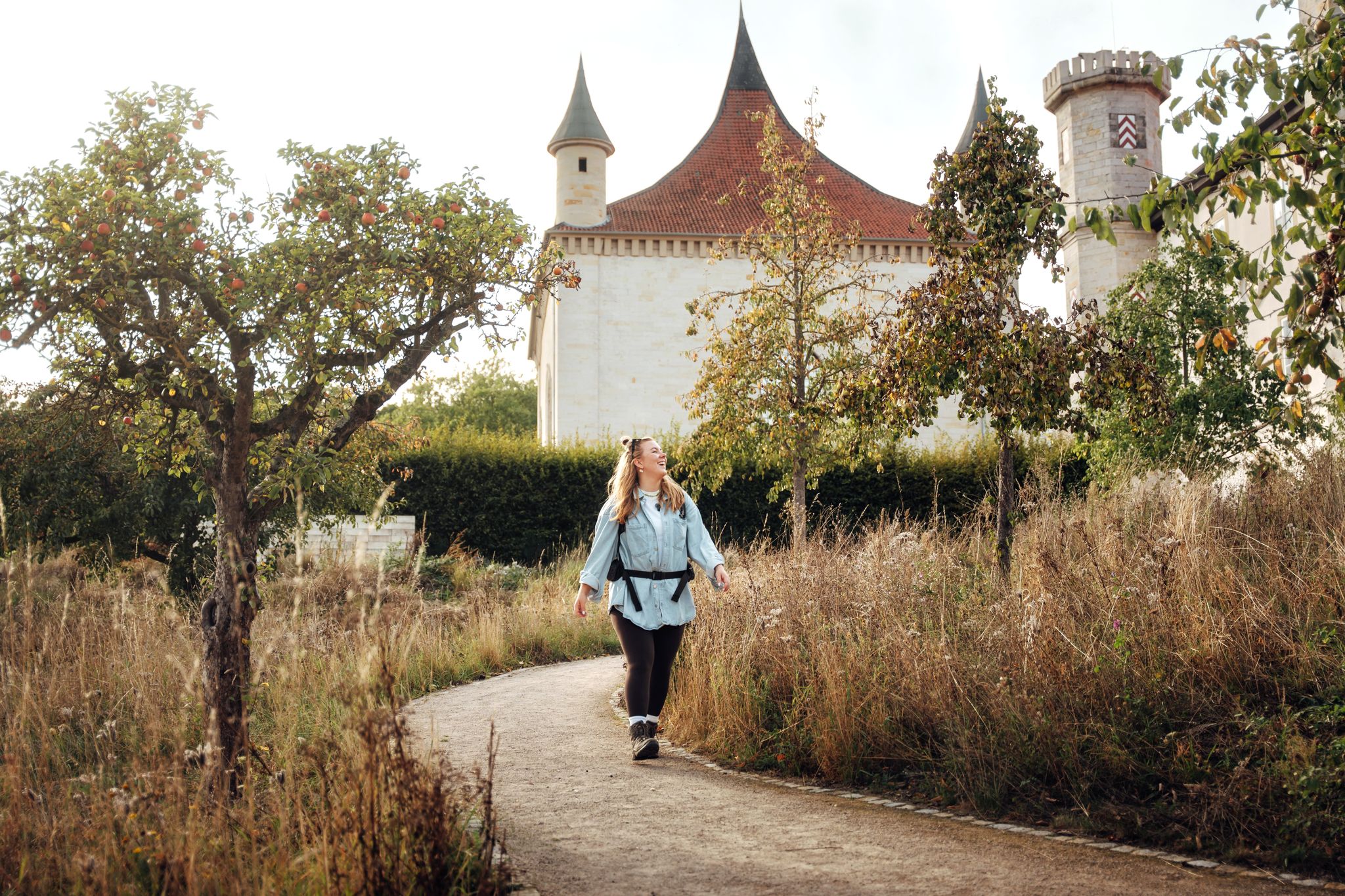
Hikes through the Hildesheim Adventure Region
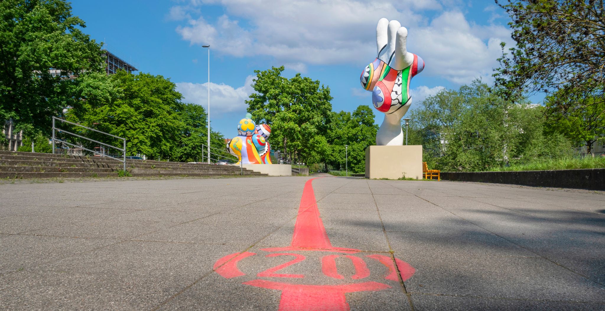
Culture for free – great city walks through Hannover

Hanover trails – hiking between Steinhuder Meer and Deister
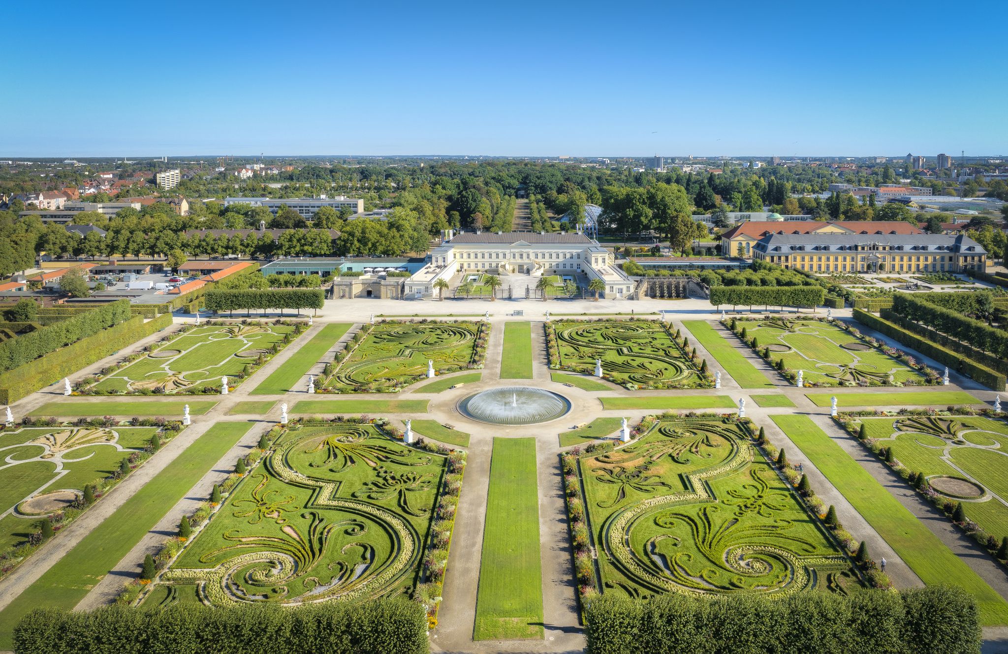
Hannover holiday region – varied cycling experiences in culture and nature
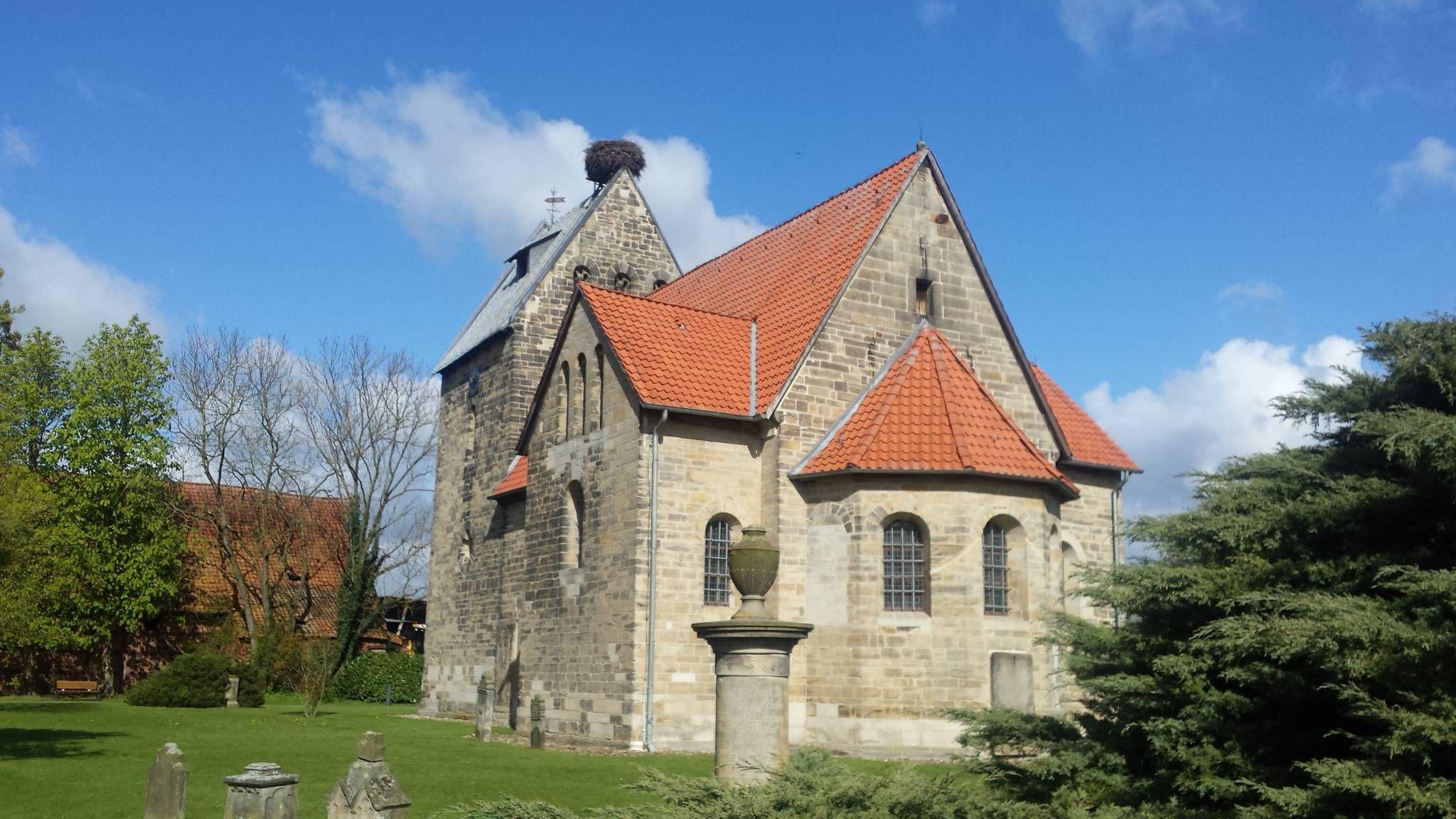
하사克소니 지방 시그와르트스베그 순례 10일
하노버 주변의 다른 모험


커뮤니티 팁

A shelter and fresh spring water invite you to rest. A memorial stone commemorates the 10th Pioneer Battalion. A water intake point was built in 1937/38. It was named Böss-Quelle, probably after the forester Bössenroth who worked here.
4
0
The Deister Alm, run by Petra and Manfred Stiller, offers a cozy atmosphere on the edge of the forest in Barsinghausen with a view over the Calenberger Land. Specializing in fresh, regional cuisine with Bavarian delicacies such as Tyrolean cheese spaetzle and onion roast beef, complemented by seasonal dishes, full-bodied wines and special beers. Ideal for family outings and meetings with friends, the Deister Alm is open Wednesday to Sunday and invites you to enjoy and linger in idyllic surroundings. Source: https://deisterbuch.de/profil/deisteralm/
5
0
Hikers can get fresh spring water from the Bösquelle. The water flows from the source through the Fuchsbachtal water catchment area north to the valley.
2
0


Mandatory stop for cyclists with delicious rustic food and friendly service. The oak tree in the middle of the guest room is unique.
5
0

Opening hours at the Deister Alm Tue to Thu 11 a.m. to 5 p.m. Fri to Sun 11 a.m. to 8 p.m. Closed on Mondays Groups of 15 or more people on request
5
0


찾고 계신 것을 찾지 못하셨나요?
이 지역별 가이드를 통해 하노버 주변의 더 멋진 오두막을 확인해보세요:
더 살펴보기
이 근처의 최고의 오두막과 캐빈을 확인하여 하노버 주변의 더 아름다운 장소를 찾아보세요:
