경로

플래너

기능

업데이트

App

로그인 또는 가입

앱 다운로드

로그인 또는 가입

경로
Places to see
독일
니더작센
그라프샤프트 벤트하임

20의 링가지 명소 & 주요 장소


링에는 둘러볼 만한 장소가 많답니다. 하이킹 또는 사이클링을 좋아한다면 링에 숨겨진 20
가지 보석을 만날 수 있을 거예요. 이 지역의 주요 명소를 살펴보면서 다음 모험을 계획해보세요.

마지막 업데이트: 7월 6, 2026

바르헤르베인 자연 보호구역

하이라이트 • 자연 기념물

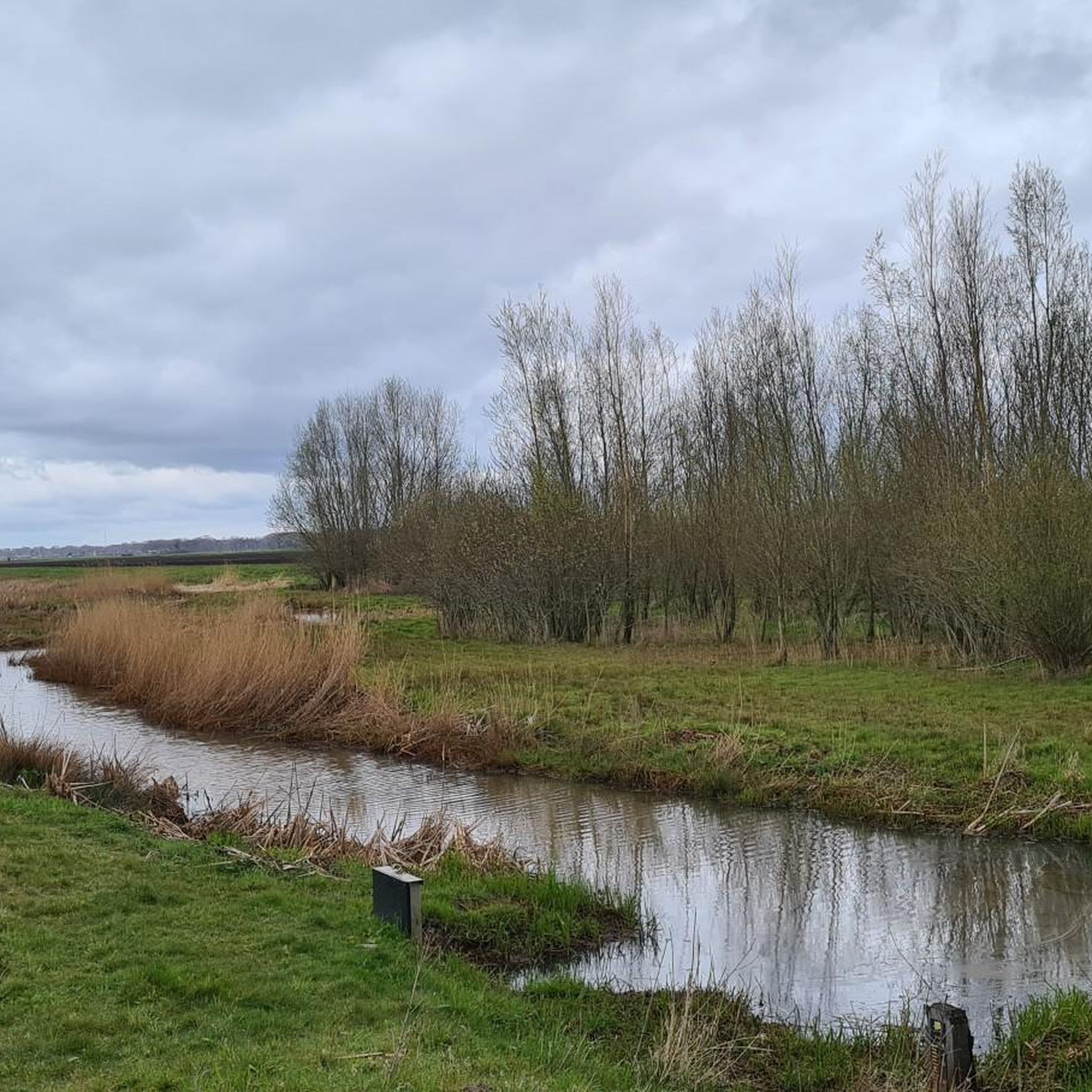
After the peat bog was extracted in the 1960s, the Dutch Forestry Commission began the renaturation of what is now the Bargerveen nature reserve. Today, due to its exceptional diversity …

번역자 Google •

에 의해

라이딩 보기

휴대폰으로 전송

저장

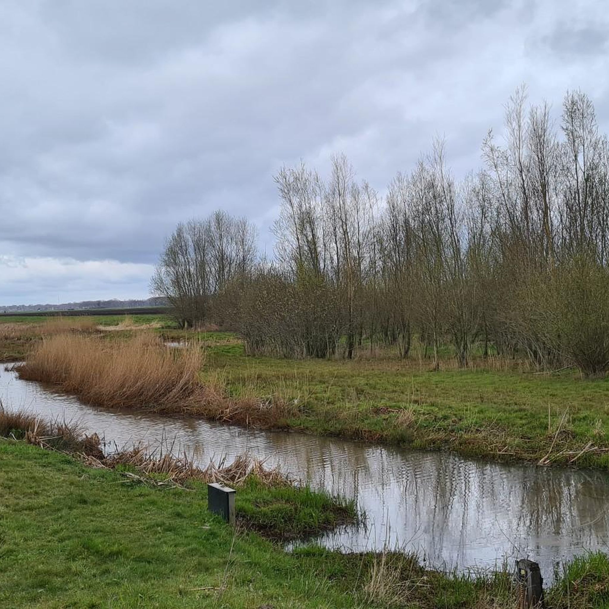
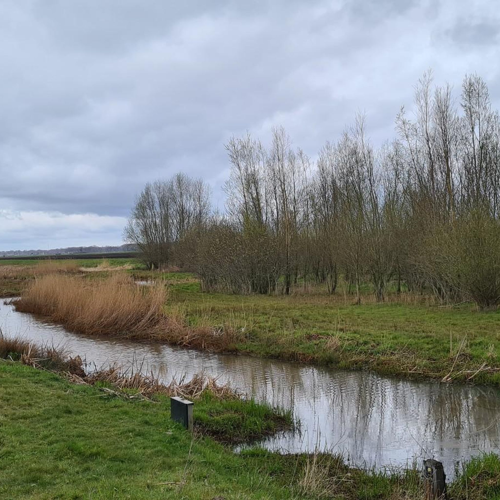
Just great what the Dutch have built on bike paths there

번역자 Google •

에 의해

저장

이런 장소를 발견하려면 지금 가입하세요

최고의 싱글 트랙, 봉우리 및 다양한 흥미로운 야외 장소에 대한 추천을 받아보세요.

무료 회원 가입

호숫가의 초가지붕 쉼터

하이라이트 • 산장

This is a nice, quiet area where you can enjoy walking and cycling. It is still a large living raised bog area.

번역자 Google •

에 의해

저장

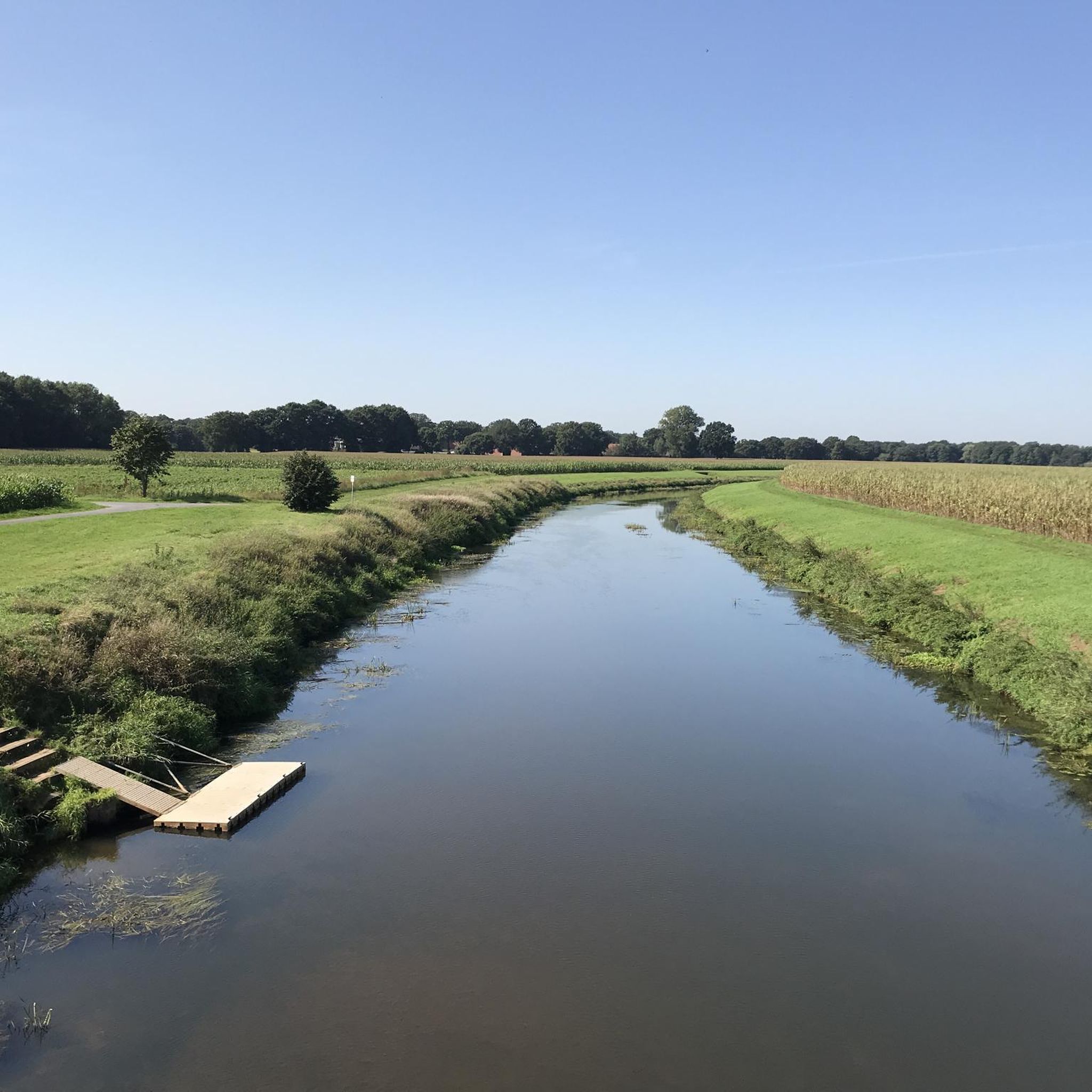
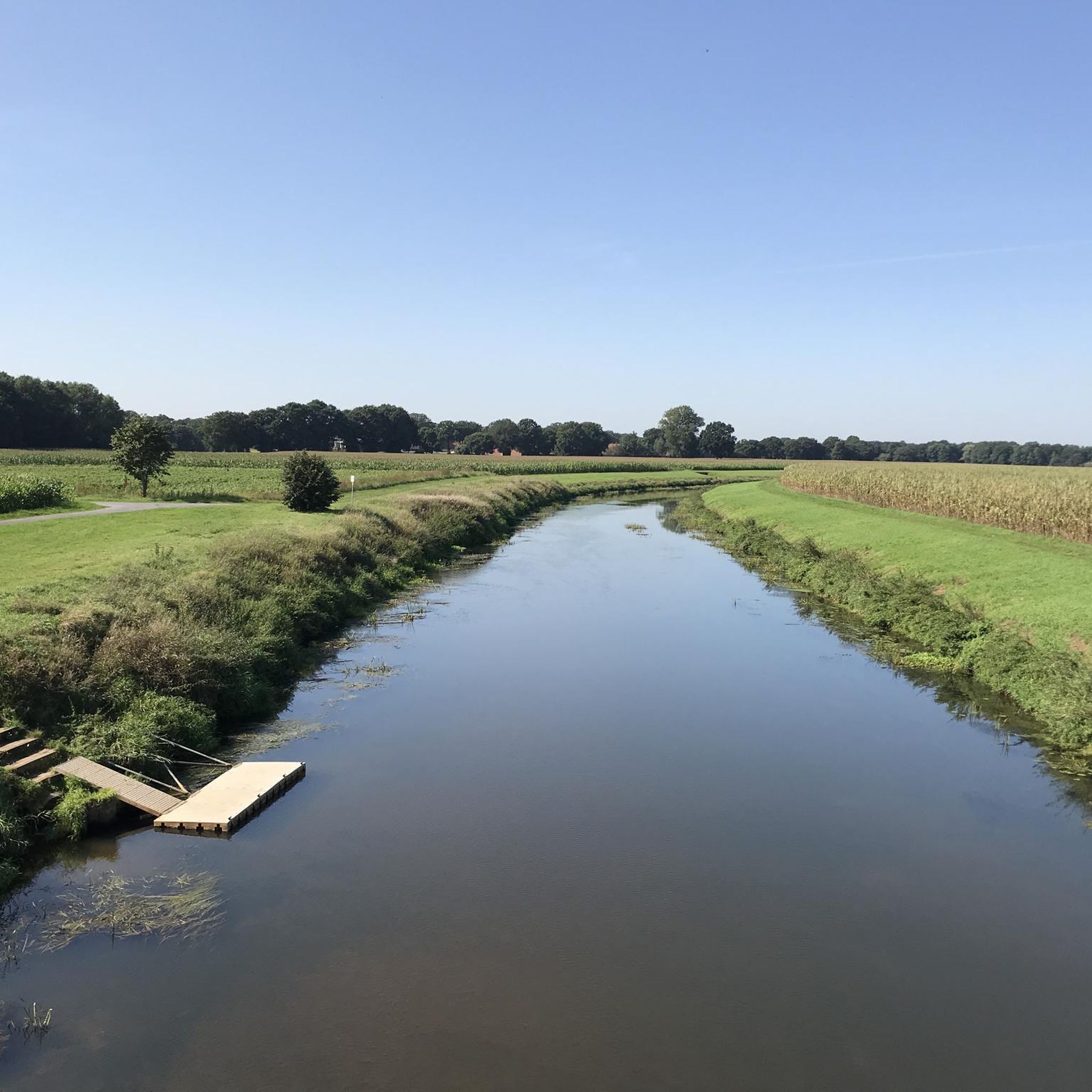
Unfortunately some bad paths, but the beautiful landscape on the Vechte makes up for it!

번역자 Google •

에 의해

저장

경계석 160-V

하이라이트 • 기념물

The Bargerveen-Schoonebeek project is a cross-border collaboration in which different (water) buffer zones are implemented to protect the unique and endangered Bargerveen raised bog area. By combining functions such as …

번역자 Google •

에 의해

저장

무료로 가입하여 링 주변의 더 많은 명소를 발견하세요.

무료 회원 가입

이미 komoot 계정이 있나요?

오늘 무료 계정으로 시작하세요

다음 모험이 기다리고 있어요.
로그인 또는 가입하기

링 주변 인기 장소

링 사이클링

링 하이킹

링 로드 사이클링 경로

링 주변 그래블 라이딩

링 MTB 트레일

링 러닝 트레일

커뮤니티 팁

Frederik
6월 22, 2026, Boundary Stone 160-V

NSG Bourtanger Moor의 동쪽 면에는 독일-네덜란드 국경을 따라 길이 나 있습니다

번역: Google

1

0

After the peat bog was extracted in the 1960s, the Dutch Forestry Commission began the renaturation of what is now the Bargerveen nature reserve. Today, due to its exceptional diversity of flora and fauna, it enjoys special protection as a European bird sanctuary and an important wetland. You can explore the area on approximately 30 kilometers of hiking trails, enjoy panoramic views of the bog from the observation hill and tower, or experience the unique landscape on guided tours and accessible rides on the Veenland Express train.

번역: Google

1

0

The reflections in the Vechte river are always worth a photo.

번역: Google

2

0

Blick ins Vechtetal in Emlichheim

1

0

Wilsum watermill

번역: Google

1

0

One of many "raised" boundary stones

번역: Google

0

0

Beautiful nature all around and an exceptional shelter directly on the lake

번역: Google

3

0

History The name Emmelkamp is still commonly used in the colloquial dialect today. The High German name Emlichheim is derived from the original Low German forms Emminchem or Emmenheim. Since the time of the Thirty Years' War, High German has been used for documents in the County of Bentheim. Officially, the name was thus translated from the previously used Low German into High German as Emlichheim. Due to the close cultural and economic ties with the Netherlands, Dutch was the common language of communication, church service, and writing, particularly in the Lower County, from the 16th century onward. Until the 1820s, Dutch was used as the primary language in the county's schools. The colloquial language was the local Low German dialect, which was strongly influenced by the Dutch written language.

번역: Google

4

0

링 주변에서 가장 인기 있는 경로

링 사이클링

링 주변에서 가장 인기 있는 명소

Natural Monuments

Store rating

komoot 모바일 앱으로 영감을 받아보세요

무료 komoot 계정로 끝없는 야외 모험을 손쉽게 찾고, 맞춤 설정하며 길안내할 수 있어요.

또는

지금 komoot에 가입하세요

Store rating

더 살펴보기

찾고 있는 하이라이트를 아직 못 찾으셨나요? 다른 지역의 주요 명소 가이드를 확인해보세요:

노이엔하우스바트 벤트하임이스터베르그노드혼쿠엔도르프엥덴울센골렌캄프윌섬이터벡게텔로오네오스터발트슈토르프사메르Wietmarschen후그스테드에쉬빌렌엠리히하임게오르그스도르프라르Bentheimer WaldLsg Uelsener BergeGildehauser Venn벡테제사메로트Landesforst KlausheideDalum-Wietmarscher 무어

근처 어드벤처 가이드

후그스테드 즐길거리

background

새로운 정복을 위한 준비를 하세요

무료로 가입하기

탐험하기
경로경로 플래너기능하이킹MTB 트레일로드 사이클링 경로바이크패킹사이트맵
앱 다운로드
소셜 미디어에서 팔로우하기

© komoot GmbH

개인 정보 보호 정책