아이다호 최고의 러닝 경로
4.9
(28)
3,849
달리기 하는 사람
352
러닝
아이다호에서 하이킹하며 미국 구석 부분까지 살펴볼까요? 아이다호에 있는 모든 하이킹 및 워킹 경로 컬렉션 중 가장 멋진 하이킹 경로를 엄선하여 소개해드릴게요. 다른 하이커가 공유한 실제 팁과 사진을 살펴보고 후기를 읽으며 마음에 드는 아이다호 워킹 경로를 찾아보세요.
마지막 업데이트: 9월 13, 2026
41
달리기 하는 사람
8.74km
00:54
10m
10m
Jog the Boise River Greenbelt, a moderate 5.4-mile urban pathway along the Boise River, offering scenic views and connecting city parks.
4
달리기 하는 사람
8.87km
00:55
20m
20m
Jog the moderate 5.5-mile Boise River Greenbelt in Lucky Peak State Park, enjoying scenic river views and diverse parks.

2
달리기 하는 사람
4.92km
00:35
0m
0m
Jog the easy 3.1-mile Eagle Island Loop Trail in Eagle Island State Park, enjoying river views and diverse terrain.
1
달리기 하는 사람
3.51km
00:26
50m
50m
Jog the easy 2.2-mile Red Fox and Gold Finch Loop in Boise's Hulls Gulch Reserve, featuring scenic climbs to Camel's Back.
2
달리기 하는 사람
14.2km
01:42
270m
270m
Jog the historic Oregon Trail to Bonneville Point, a moderate 8.8-mile route with 870 feet of gain and panoramic views of the Boise Valley.
1
달리기 하는 사람
4.60km
00:28
10m
10m
This easy 2.9-mile jogging loop through Ann Morrison and Kathryn Albertson Parks offers scenic river views and diverse wildlife.
1
달리기 하는 사람
4.80km
00:30
10m
10m
Enjoy an easy 3.0-mile jogging loop on the Boise River Greenbelt at Barber Park, featuring river views and tree-lined paths.
1
달리기 하는 사람
Jog the difficult 12.5-mile River Canyon Trail loop in Morley Nelson Snake River Birds of Prey National Conservation Area, gaining 356 feet.
1
달리기 하는 사람
19.0km
02:25
210m
210m
Jog the difficult 11.8-mile Wees Bar Petroglyphs Trail to see ancient rock art and Snake River canyon views.
28.5km
02:57
100m
100m
This 17.7-mile jogging route through Deer Flat National Wildlife Refuge offers a difficult but scenic experience along Lake Lowell.
더 다양한 경로와 다른 탐험가들의 추천을 살펴보세요.
이미 komoot 계정이 있나요?
투어 추천은 다른 사람들이 komoot에서 완료한 수천 개의 활동을 바탕으로 구성되어 있습니다.
오늘 무료 계정으로 시작하세요
다음 모험이 기다리고 있어요.
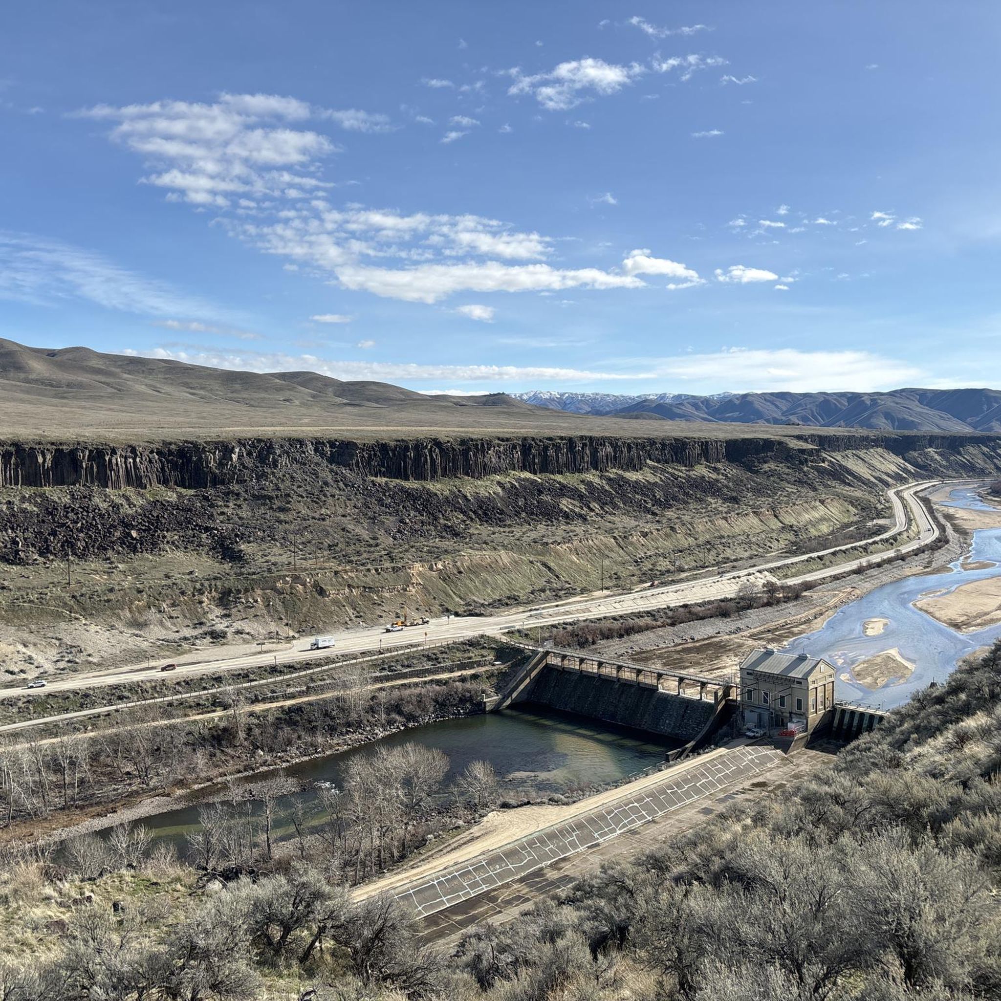
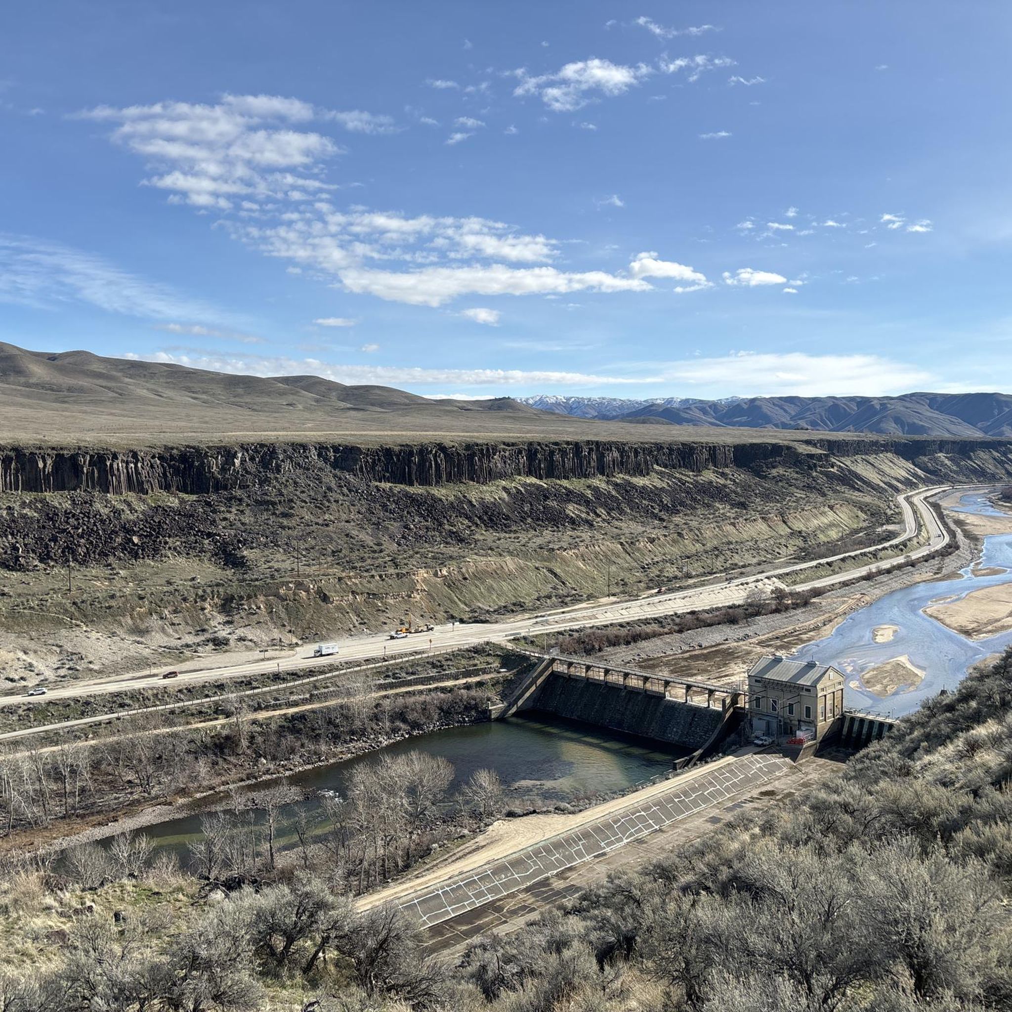
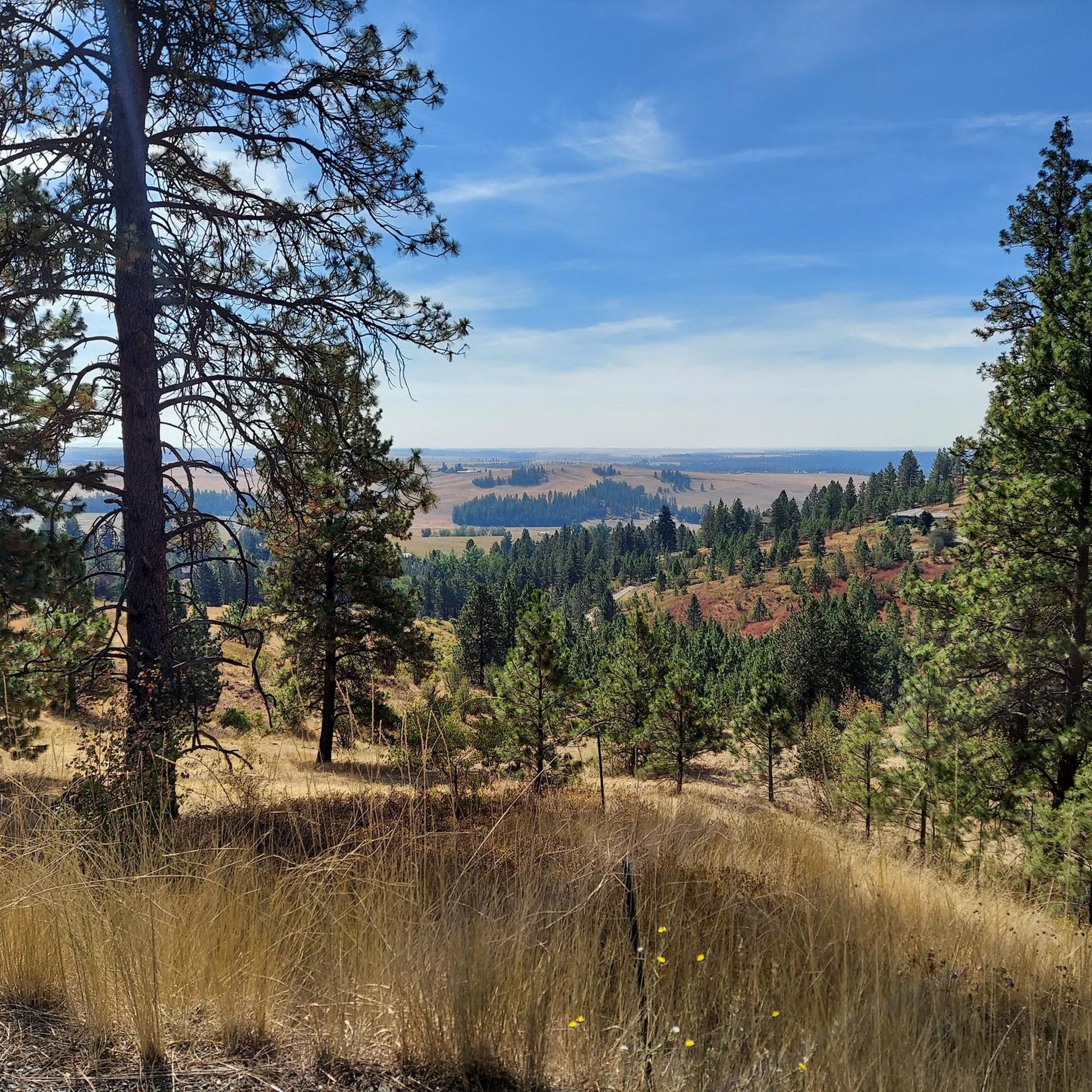
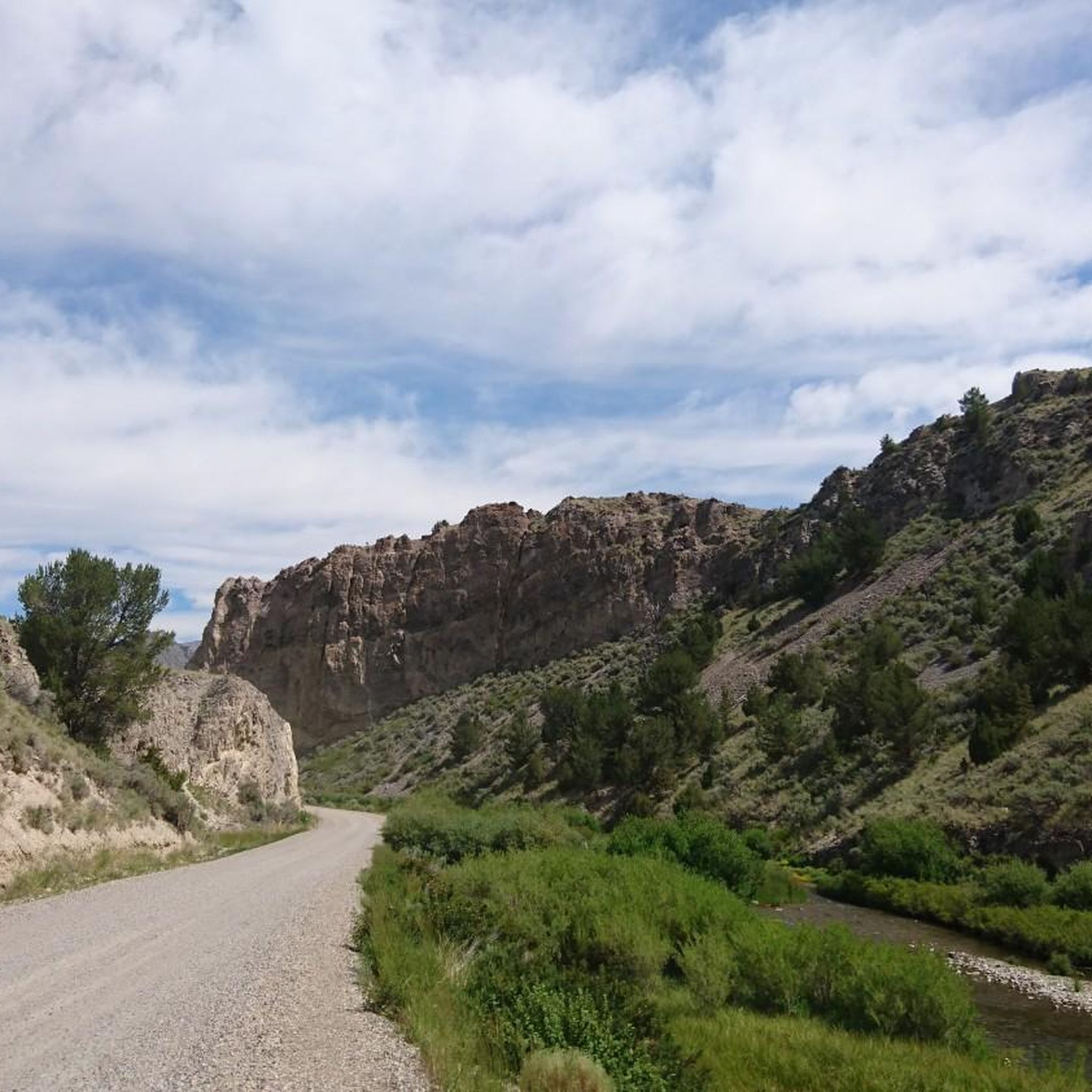

아이다호의 다른 모험


커뮤니티 팁

Camel's Back is an incredible area that provides opportunities for quick breaks from the day to all day hiking activities. It is probably known best by its iconic set of steep stairs installed a few years back.
0
0

This quiet double-track path leads from the Lucky Peak State Recreation Area to the Oregon Trail. There are a few intersecting roads and trails out in this area, so it's helpful to have your map downloaded and with you.
0
0

The majestic Snake River winds its way from western Wyoming through the Snake River Plain right here to the deepest canyon in the contiguous US, Hells Canyon on the Oregon-Idaho border to the Columbia Basin in Washington. With 1,078 miles, it is the largest tributary of the Columbia River.
0
0
Celebration Park is an extraordinary archaeological park that has been in existence since 1989. It offers a delightful opportunity to traverse historic paths along the picturesque Snake River and behold ancient petroglyphs revealed by the Bonneville Flood. Additionally, visitors can access more trails on the opposite side of the river via a rare bridge at the old Swan Falls dam.
0
0

The Camel's Back is a popular destination within Hulls Gulch Reserve. It offers a breathtaking view over Boise. You can't ride your bike on the stairs that lead to the view point, so you will need to lock up or walk it down the short path leading to the overlook.
0
0

Located on the banks of the Boise River, Boise River Park is a great place for a run. It has green space, restrooms and access to the water if you need to cool down.
0
0
Deer Flat National Wildlife Refuge was created to protect wildlife in Lake Lowell. The refuge is also a place that can be enjoyed by people as there are over 10 miles of trails, great views of the lake and swimming opportunities. It is also a popular spot for bird watching.
0
0
Gravel trail that runs next to Lake Lowell. It is normally not very busy, so normally you can enjoy the great views of the water without any crowds.
0
0


찾고 계신 것을 찾지 못하셨나요?
아이다호에서 더 많은 러닝 트레일 & 경로를 확인하고 목적지에서 완벽한 경로를 찾아보세요.
더 살펴보기
다른 지역의 최고의 러닝 트레일 & 경로를 살펴보세요.
