20의 업플렌겐가지 명소 & 주요 장소
업플렌겐에는 둘러볼 만한 장소가 많답니다. 하이킹 또는 사이클링을 좋아한다면 업플렌겐에 숨겨진 20
가지 보석을 만날 수 있을 거예요. 이 지역의 주요 명소를 살펴보면서 다음 모험을 계획해보세요.
마지막 업데이트: 9월 26, 2026
베스터슈테데 시장 광장
하이라이트 • 정착지
번역자 Google •
팁에 의해

암도르프 레다교 — 독일에서 가장 좁은 자동차 다리
하이라이트 • 다리
번역자 Google •
팁에 의해

이런 장소를 발견하려면 지금 가입하세요
최고의 싱글 트랙, 봉우리 및 다양한 흥미로운 야외 장소에 대한 추천을 받아보세요.


오늘 무료 계정으로 시작하세요
다음 모험이 기다리고 있어요.

커뮤니티 팁

This bridge is also popularly known as "Katzenbuckel"
6
0

The market square, the center of the town, only emerged after the great fire of 1815. The market square, the center of the town, only emerged after the great fire of 1815. Over 50 buildings fell victim to the flames. The then bailiff of Negelein was a far-sighted man; despite protests from the affected residents, he prevented the houses from being rebuilt on their original site. For a long time, the square was a traffic hub. In the late 1970s, a pedestrian zone was planned as part of the urban redevelopment. Traffic was to be diverted around the outside of Westerstede. The church could hardly withstand the load of the trucks and cars passing through. The tower was already bulging. Therefore, concrete action was needed because, of course, people wanted to preserve the church.
16
2


Beautiful gallery Dutch windmill right on Aper Tief, just behind a beautiful trail for walking or cycling.
7
0
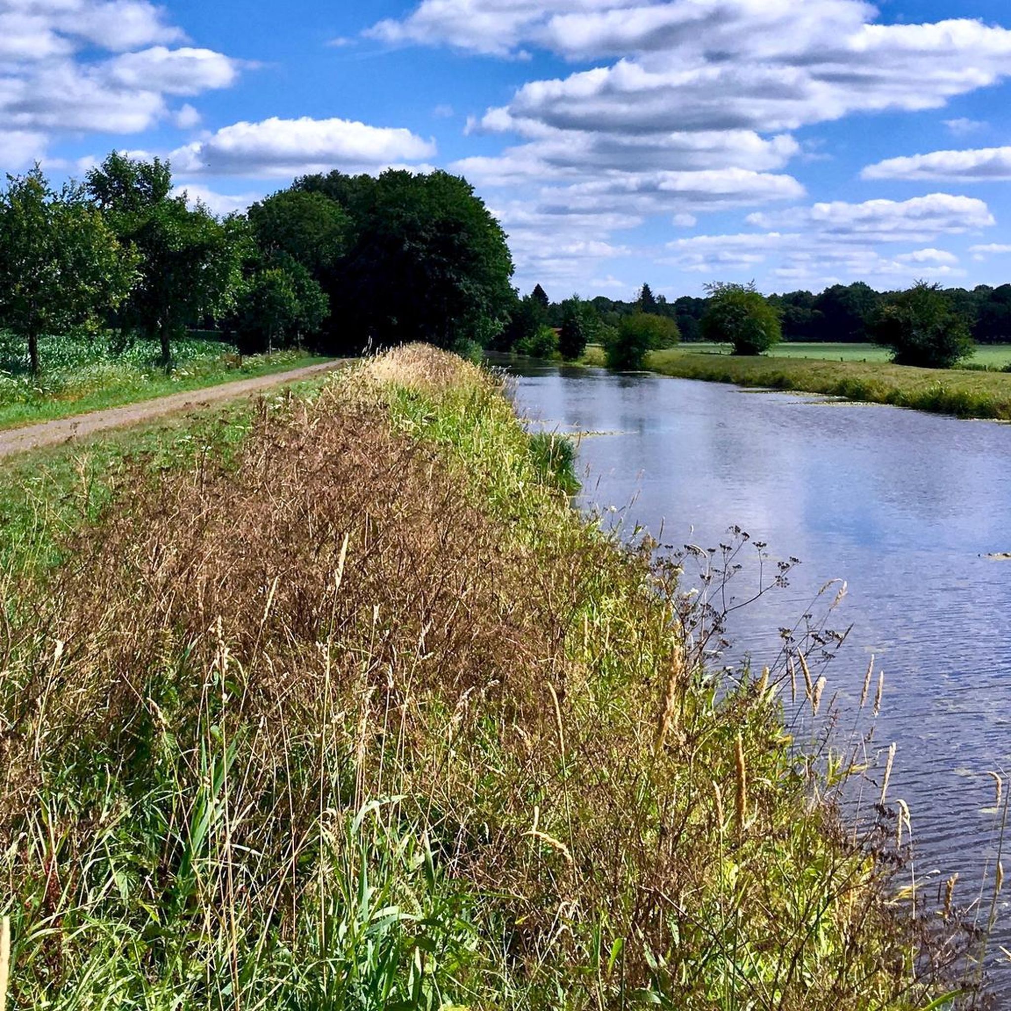
Next to the mill, which was also open to the public today, there is a tourist restaurant. Directly behind the mill: the Aper Tief, great cycle path directly along the low
6
0

The bridge is really narrow. Allegedly only 180cm wide. Concentration is required when crossing by car.
12
1

History of the Hengstford MILL In 1742, Tönjes Brunken received a concession to build a pellet mill in Hengstforde to peel groats from barley, oats and buckwheat. In 1754, Joh. Georg Conrads acquired the mill. In 1811, miller Conrads applied to mill grain. In 1839, the mill became the property of the Böhlje family. In 1841, miller Böhlje was given permission to start a milling process for rye and wheat. In 1882, Joh. Chr. Böhlje built a cap windmill. In 1952, both mill wings were torn down by a storm. In 1962, the last mill owner, Hans Böhlje, transferred the partially demolished mill to the municipality of Apen. In 1997-1999 the mill was rebuilt by the municipality of Apen in cooperation with the "Mill Promotion Association in the Municipality of Apen e. V." with funding from the European Union, donations from banks and savings banks, funds from the commercial sector, agriculture, the Ammerland district and private donations. Since the beginning of 1999 the non-profit mill promotion association has operated and maintained the Hengstford windmill "Glück Zu"
9
0

From here, it is worth taking a detour to the Thalenweide (city park). Today, the Thalenweide is the small "city park" in which, among other things, a 350-year-old oak tree stands. The Thalenweide used to be a pasture with the Thalen family's agricultural buildings. In 1913, the municipality of Westerstede acquired this area. The town hall was to be built here, but things turned out differently. Today, the Thalenweide is the small "city park" in which, among other things, a 350-year-old oak tree stands. The Westerstede artist Alice Peters-Ohsam also designed a memorial here for those who died in both world wars. The water tower was built in 1933 to supply water to Westerstede. After the Oldenburg-East Frisian Water Association took over the water supply, the water tower was stopped in 1967. An investor bought the tower for the symbolic price of one mark and converted it into an eight-storey residential tower with a café in 1979.
9
0
업플렌겐 주변에서 가장 인기 있는 명소


더 살펴보기
찾고 있는 하이라이트를 아직 못 찾으셨나요? 다른 지역의 주요 명소 가이드를 확인해보세요:
