20의 가렐가지 명소 & 주요 장소
Garrel 주변의 최고의 명소와 볼거리는 숲, 황야, 그리고 중요한 Thülsfelder 저수지를 포함한 다양한 풍경을 특징으로 합니다. 독일 가렐에 위치한 이 지역은 가렐 근처의 잘 개발된 자전거 도로와 쉬운 하이킹 트레일을 포함한 수많은 야외 활동 기회를 제공합니다. 이 지역은 자연의 아름다움으로 특징지어지며, Thülsfelder 댐 주변의 10km 경로는 석호, 갈대밭, 습지 지역의 전망을 제공합니다. 방문객들은 자연 기념물과 경치 좋은 길을 탐험할 수 있어 다양한 야외 경험을 위한 목적지가 됩니다.
Garrel 주변의 최고의 명소와 볼거리
- 가장 인기 있는 명소는 울창한 숲, 황야, 모래…
마지막 업데이트: 8월 30, 2026
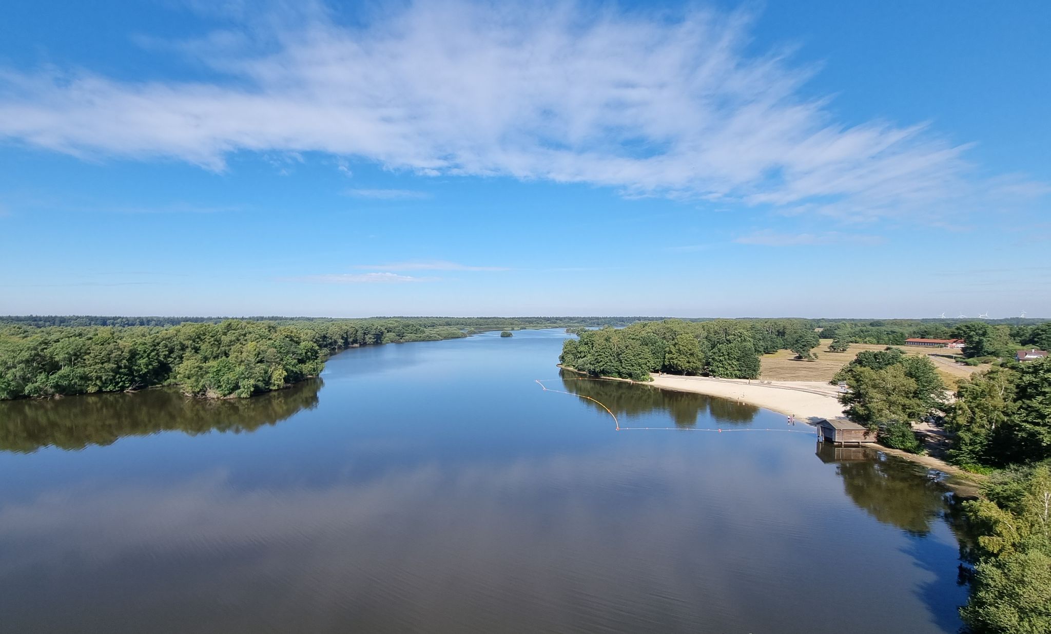
Thülsfelder Talsperre의 해변
하이라이트 • 해변
번역자 Google •
팁에 의해

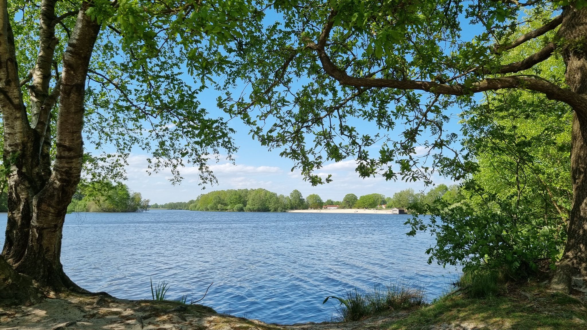
Thülsfelder Talsperre 북안 및 방류로
하이라이트 • 호수
번역자 Google •
팁에 의해

이런 장소를 발견하려면 지금 가입하세요
최고의 싱글 트랙, 봉우리 및 다양한 흥미로운 야외 장소에 대한 추천을 받아보세요.
무료 회원 가입
튀슬스펠더 댐 – 세 다리 길
하이라이트 • 호수
번역자 Google •
팁에 의해

Petersfelder Weg 숲길
하이라이트 (구간) • 트레일
번역자 Google •
팁에 의해


오늘 무료 계정으로 시작하세요
다음 모험이 기다리고 있어요.
로그인 또는 가입하기
가렐 주변 인기 장소
Rauf auf's Rad – Themenradtouren im Erholungsgebiet Thülsfelder Talsperre
뛰어라 野외 - 독일 전체의 트레일 러닝 루트
Radeln nach Zahlen - Knotenpunkttouren im Erholungsgebiet Thülsfelder Talsperre
Rallyespaß – Familienradtouren im Erholungsgebiet Thülsfelder Talsperre
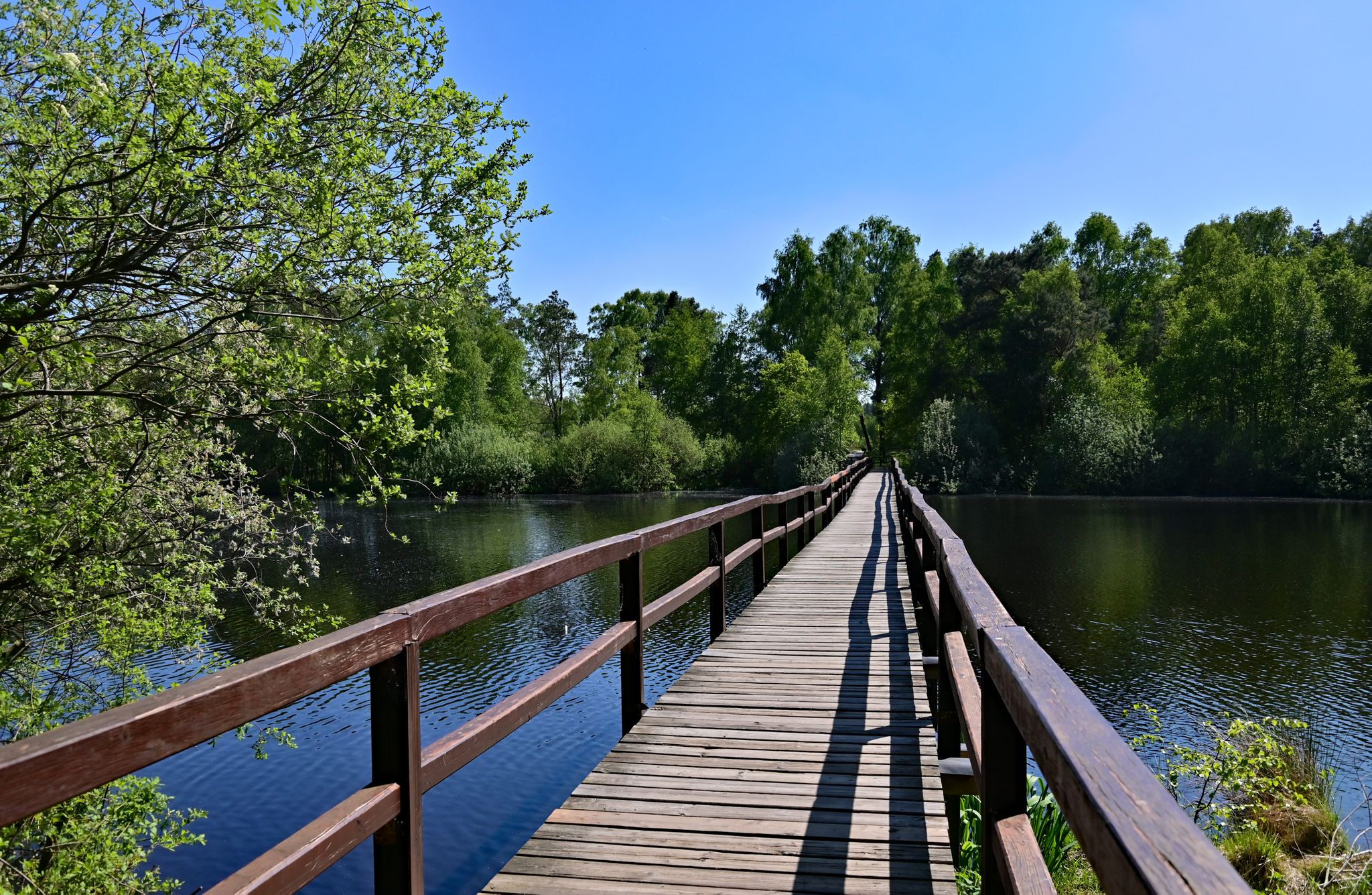
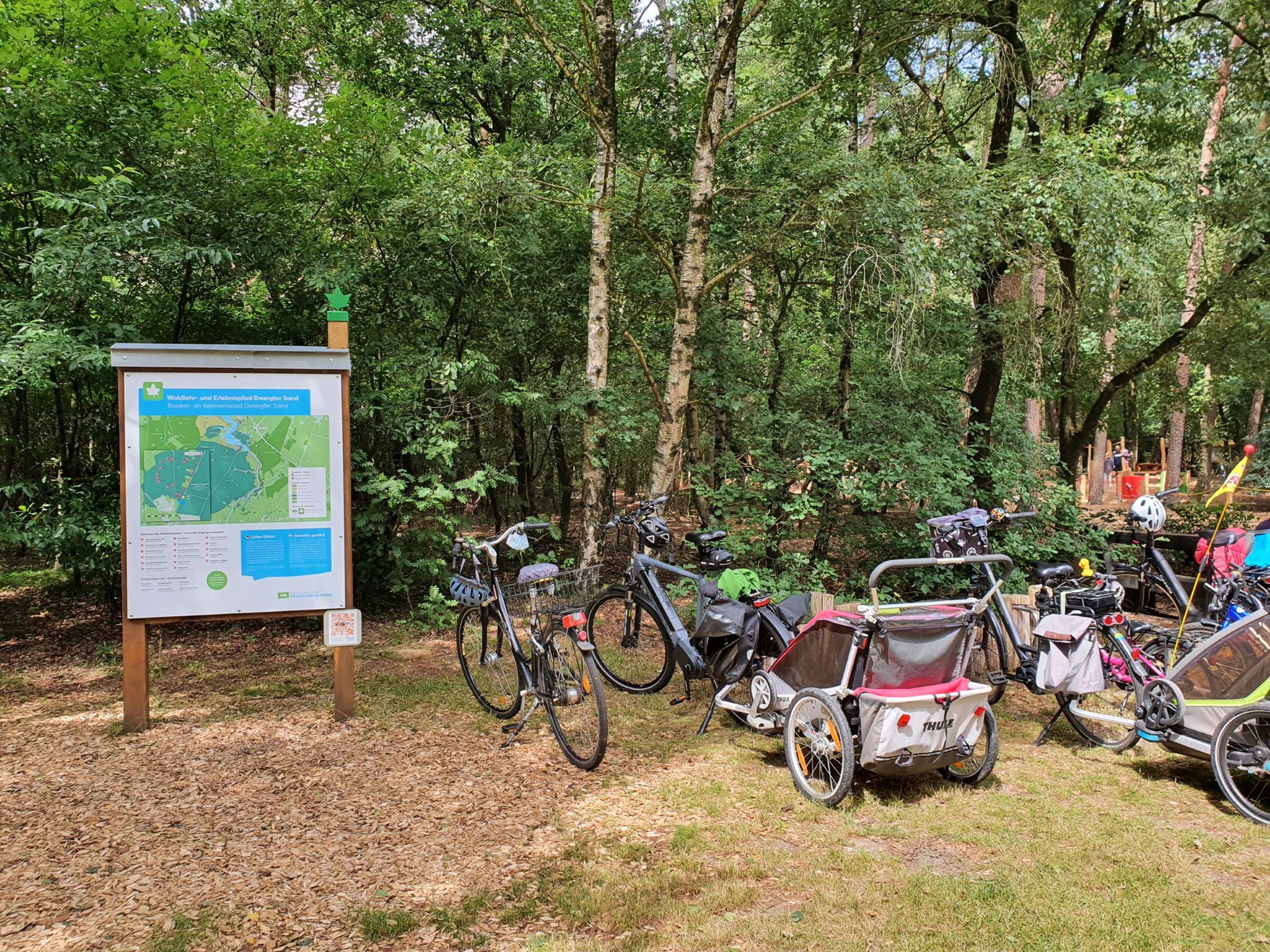
Lehr- und Erlebnispfade im Erholungsgebiet Thülsfelder Talsperre
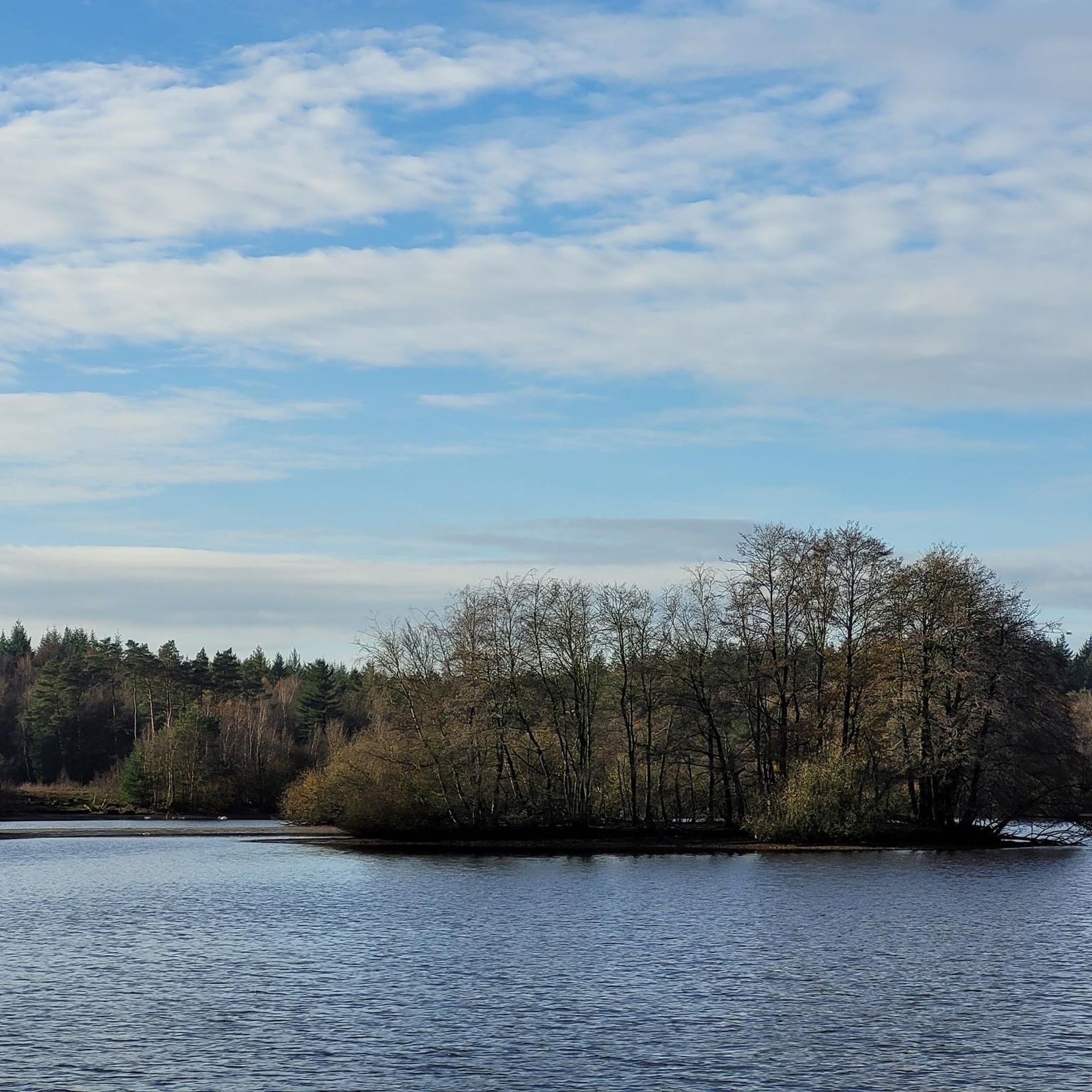
가렐 하이킹
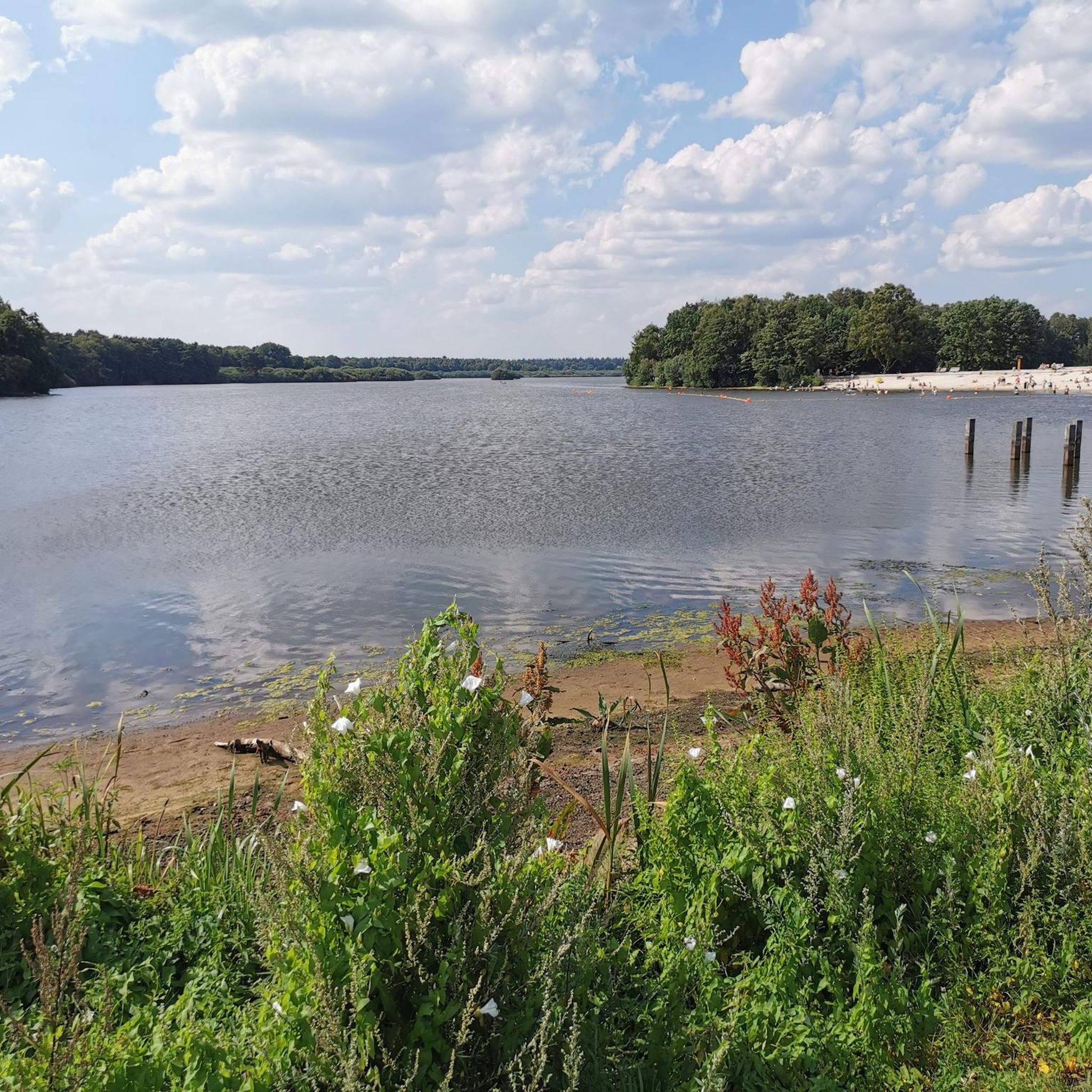
가렐 사이클링
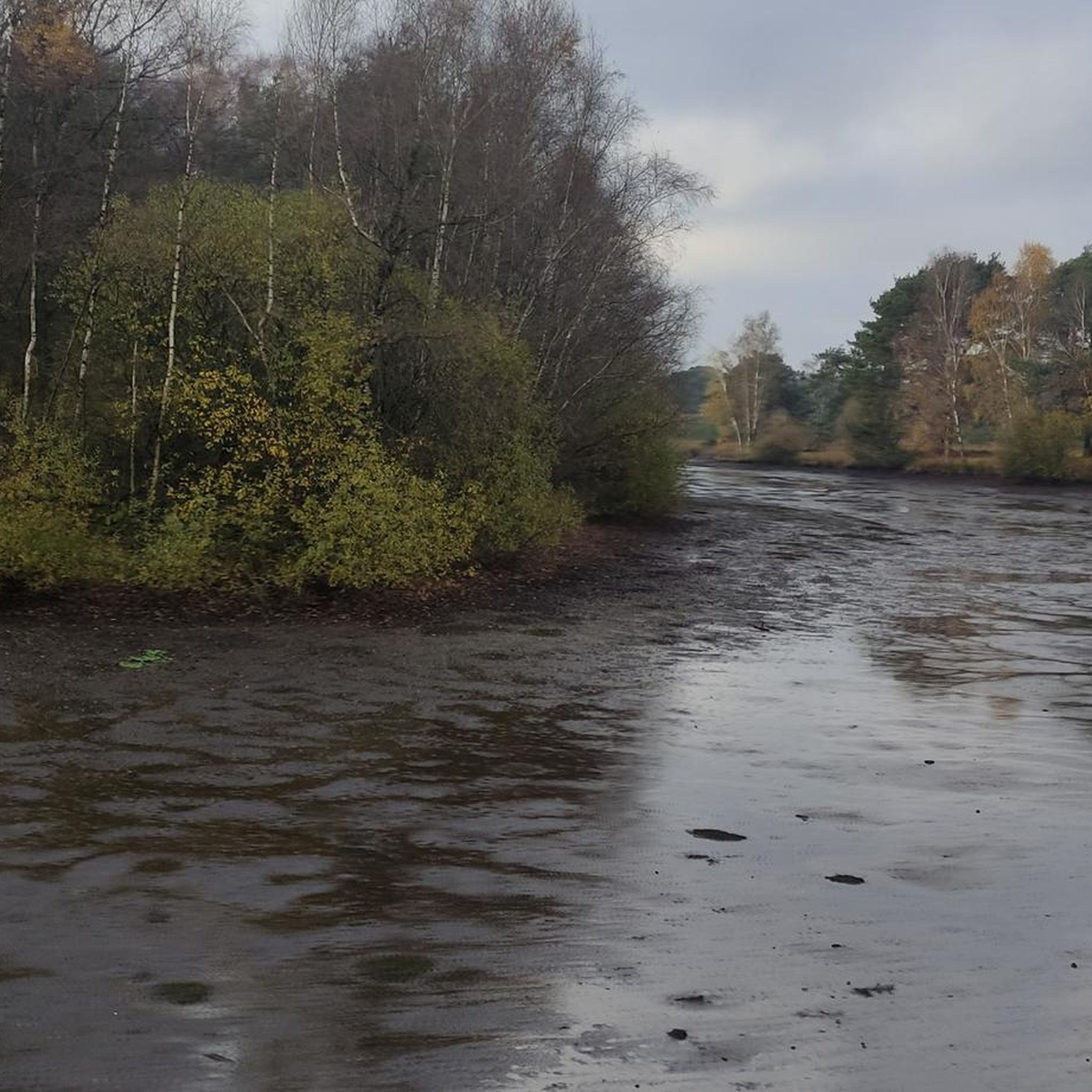
가렐 러닝 트레일
가렐 로드 사이클링 경로
가렐 MTB 트레일
가렐 주변의 다른 모험


커뮤니티 팁

The cycle path around the dam is easy to ride. You should take your time to enjoy the beautiful rest areas around the dam
4
0


Local recreation area with great cycling and hiking trails and nice places to take a break.
6
0
Beautiful dam with great hiking and cycling trails
6
0

A small river becomes a nature conservation paradise The Thülsfeld Dam is a reservoir that was completed in 1927 and was created to regulate the water level of the Soeste River. During heavy rainfall, the meadows and fields in the region around Friesoythe often flooded, so the river was dammed by a 3-kilometer-wide dam in the area of a valley cut. Today the Thülsfeld Dam is a beautiful nature reserve with a water area of 170 hectares and can be easily circumnavigated on well-developed hiking trails. You hike through extensive forests, heath areas and sand dunes, cross wooden bridges and marvel at the lagoons, reed belts and swamp areas on the west bank. The path around the Thülsfelder Dam is about 10 kilometers long and you can start your exploration on foot or by bike from several free park areas.
11
1
The silence and peace in the forest and a top bike path.
5
0
가렐 주변에서 가장 인기 있는 명소


더 살펴보기
찾고 있는 하이라이트를 아직 못 찾으셨나요? 다른 지역의 주요 명소 가이드를 확인해보세요:
