20의 노이슈타트 암 쿨름가지 명소 & 주요 장소
노이슈타트 암 쿨름에는 둘러볼 만한 장소가 많답니다. 하이킹 또는 사이클링을 좋아한다면 노이슈타트 암 쿨름에 숨겨진 20
가지 보석을 만날 수 있을 거예요. 이 지역의 주요 명소를 살펴보면서 다음 모험을 계획해보세요.
마지막 업데이트: 10월 10, 2026
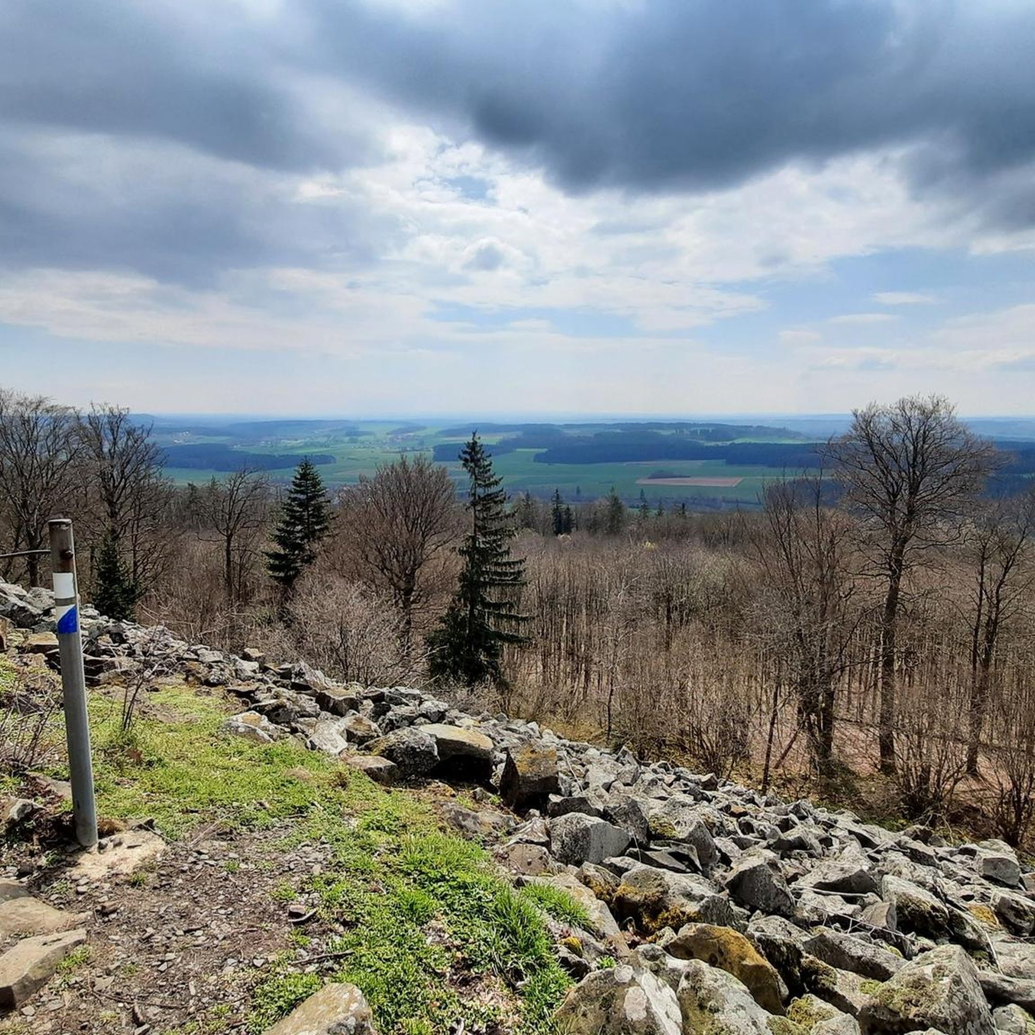
라우어 쿨름 전망대
하이라이트 • 전망대
Nicolaus Apel built a wooden observation tower as early as 1807. There was a movable gold-plated sun above …
번역자 Google •
팁에 의해

라우헨 쿨름의 환벽
하이라이트 • 역사적 장소
번역자 Google •
팁에 의해

이런 장소를 발견하려면 지금 가입하세요
최고의 싱글 트랙, 봉우리 및 다양한 흥미로운 야외 장소에 대한 추천을 받아보세요.
Tauritzmühle 비어가든 및 여관
하이라이트 • 레스토랑
Opening hours: …
번역자 Google •
팁에 의해


클로스터 슈파인스하르트와 수도원 마을
하이라이트 • 종교적 장소
번역자 Google •
팁에 의해

무료로 가입하여 노이슈타트 암 쿨름 주변의 더 많은 명소를 발견하세요.
이미 komoot 계정이 있나요?
오늘 무료 계정으로 시작하세요
다음 모험이 기다리고 있어요.

노이슈타트 암 쿨름 주변의 다른 모험

커뮤니티 팁

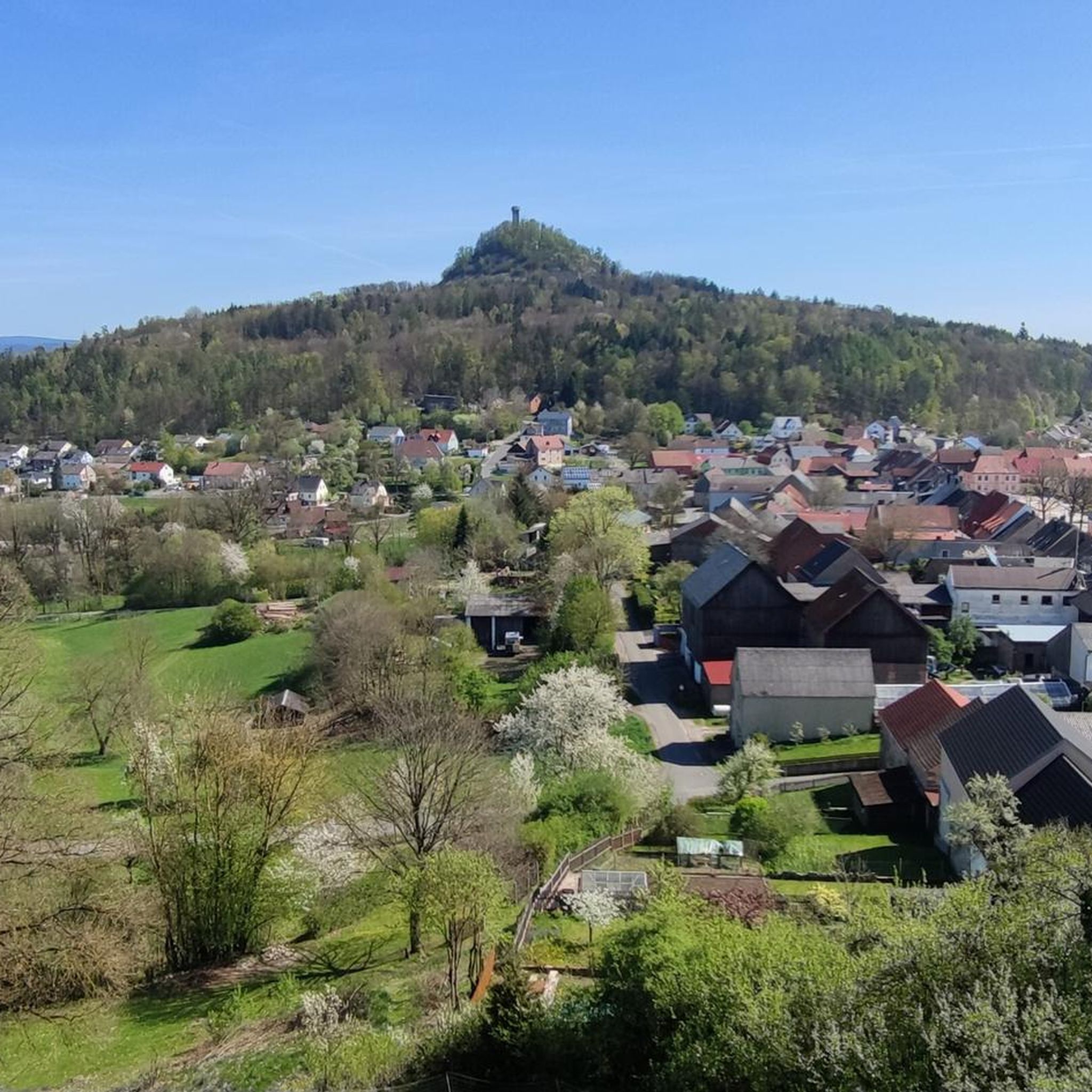
Burgstall Rauhenkulm 고중세 시대 성의 기원에 대한 확실한 자료는 없습니다. 1119년 미헬펠트 베네딕토회 수도원의 설립 문서에는 레우텐베르크의 부코 데 쿨멘이 두 쿨름 중 하나에 거주지가 있었다고 명시되어 있습니다. 그는 따라서 과학적으로 최초로 입증된 성주가 될 것입니다. 그러나 라우에 쿨름인지 클라이네 쿨름인지 명확하지 않습니다. 쿨마인 마을의 건물이었을 가능성도 있지만, 가능성은 낮습니다. 발굴 조사에서 이 시대의 파편, 화살촉, 십자가, 동전 등이 발견되었습니다. 로저트에 따르면, 라우허 쿨름 방벽 건설은 헝가리로부터의 임박한 위협을 막으려는 오토 1세 대제의 전략의 일부였습니다. 성은 약 950년에 건설되었으며, 사암, 목골 구조, 벽돌이 사용되었습니다. 군사적 용도 외에도, 여러 물레축, 직조용 칼, 큰 철칼 등 다양한 발견물들이 여성과 아이들도 거주했음을 증명합니다. 뉘른베르크의 부르크그라프 프리드리히 3세는 1281년에 레우텐베르크의 영주들로부터 성과 관련 지역을 인수했습니다. 이전의 탑은 변경백의 신호 시스템의 일부였습니다. 두 번째 변경백 전쟁 중 변경백 알브레히트 알치비아데스 휘하에서, 클라이네 쿨름의 슐레흐텐쿨름 성과 함께 이 성은 1554년에 파괴되었습니다. 파괴되기 전에 두 성은 약 1년 동안 제국 도시 뉘른베르크, 밤베르크, 뷔르츠부르크, 바이에른의 군대에 의해 포위되었고, 주민들은 굶주렸습니다. 요새 사령관 폰 하이데나브는 1554년 6월 28일에 라우헨 쿨름의 요새를 항복했습니다. 이후 나사로 폭파되었고, 삼중 벽은 철거되고 파괴되었습니다. 나중에 중세 시대 양쪽 성터의 돌들이 노이슈타트의 성벽을 강화하는 데 부분적으로 사용되었습니다. 오늘날 부르크슈탈 라우헨쿨름에서는 지형의 흔적만 볼 수 있습니다. 주변 방벽의 잔해와 현재 전망대 바로 근처에 있는 탑의 위치를 식별할 수 있습니다. 지도 제작자 요한 크리스토프 슈티얼라인은 폐허가 있는 산의 최초의 매우 정확한 지형도를 제작했습니다. 출처: www.wikipedia.de
5
0

아주 맛있고 직원들도 아주 친절합니다
2
0

The rampart on the Rauher Kulm is a fortification at the foot of the Rauher Kulm. Gate area of the rampart Area disturbed by quarrying The Rauher Kulm, as a basalt mountain in the otherwise flat surroundings, was already visited by people in prehistoric times. The rampart made of basalt blocks runs around the foot of the mountain. Finds point to the Bronze Age, the Celts, the time of the Carolingians and the Slavic settlement chambers. Fighting took place during the time of the Hungarian invasions. Even if the rampart has been disturbed by later interventions, including the creation of an English garden across the entire mountain or the mining of the basalt in quarries, the course can be recognized from the basalt boulders. There is a lower main rampart with at least two gate areas and another fortified area at medium height. The hilltop castle is, however, classified as largely late medieval. Several burial mounds are also known. It is assumed that the settlement was located within the protective wall, so that it was not just a refuge. The predominantly stone remains were reinforced by wooden structures, among other things. There is evidence of post-and-slot walls, kennel-shaped walls and additionally secured gate areas. The cartographer Johann Christoph Stierlein made a drawing of the Rauher Kulm and recorded both the rampart and the hilltop castle.[1] The rampart was researched at the beginning of the 20th century by Adalbert Neischl on behalf of the Nuremberg Natural History Society and Hugo Obermaier, who completed Neischl's work. Hans Losert has been carrying out excavations for over ten years and is responsible for the scientific analysis.
1
0

The ring wall itself dates back to the time of the Celts and probably served as a refuge or place of worship. The remains of the ramparts are still clearly visible and make for an exciting exploration tour. The climb to the summit is a bit strenuous, but the view and the historic atmosphere definitely make the effort worthwhile.
4
0

Speinshart Monastery was built in the 12th century as a Romanesque monastery complex. The monastery and church are one of the most important and beautiful monuments in the Upper Palatinate. The monastery itself is not open to visitors for viewing the interior, but the church itself, built in the 17th century in a Baroque style, is worth a visit.
6
0

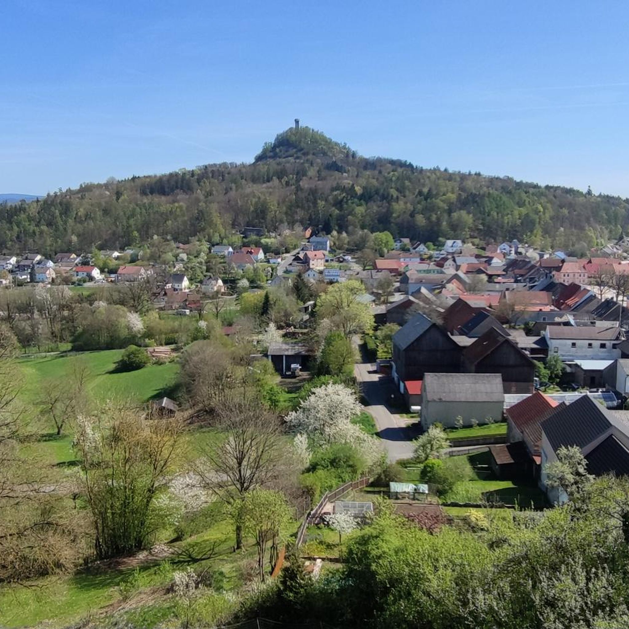
A basalt cone about 641 meters high around five kilometers east of Kemnath made history. One of the oldest castles in the Upper Palatinate was located on its summit. Waldeck Castle was first mentioned in documents in 1124. The castle complex has been excavated and restored for several decades. The Waldeck Local History and Culture Association has contributed a large part to this. Regular services are held at the St. Ägidius open-air chapel, and theater performances are also held here every year on an open-air stage with 300 seats. Performances by the Upper Palatinate State Theater are now part of the permanent cultural program.
19
0

Around the cone, hikers will find a well-developed network of paths through varied mixed forest and old beech forest stands. The newly marked paths mostly lead along well-paved forest paths, but also along natural hiking trails. The exposed basalt slopes are a valuable habitat for numerous animals and rare plants. Around 90 different lichens and mosses grow and thrive on the heat-storing basalt boulders. The Rauhe Kulm has been protected as a natural monument since 1909 and has been a nature reserve in accordance with European standards (FFH) for several years. In 2013, the Rauhe Kulm was voted Germany's most beautiful natural wonder.
8
1
Around the cone, hikers will find a well-developed network of paths through varied mixed forest and old beech forest stands. The newly marked paths mostly lead along well-paved forest paths, but also along natural hiking trails. The exposed basalt slopes are a valuable habitat for numerous animals and rare plants. Around 90 different lichens and mosses grow and thrive on the heat-storing basalt boulders. The Rauhe Kulm has been protected as a natural monument since 1909 and has been a nature reserve in accordance with European standards (FFH) for several years. In 2013, the Rauhe Kulm was voted Germany's most beautiful natural wonder.
6
2
노이슈타트 암 쿨름 주변에서 가장 인기 있는 명소


더 살펴보기
찾고 있는 하이라이트를 아직 못 찾으셨나요? 다른 지역의 주요 명소 가이드를 확인해보세요:
