폴에서 가장 멋진 7개의 산 정상
폴의 산 정상에 오르면 이 지역의 아름다운 모습을 제대로 구경할 수 있어요. 다만, 7
곳이나 되는 산 정상 중에서 어떤 곳을 가야 할 지 고민된다는 게 문제죠. 폴에서 가장 멋진 산 정상을 살펴본 후에 마음에 드는 산 정상을 다음 모험 계획에 추가해보세요.
마지막 업데이트: 8월 31, 2026
켐믈러의 비스마르크탑
하이라이트 • 기념물
번역자 Google •
팁에 의해

Bahnhof Greiz
하이라이트 • 휴식 공간
번역자 Google •
팁에 의해

이런 장소를 발견하려면 지금 가입하세요
최고의 싱글 트랙, 봉우리 및 다양한 흥미로운 야외 장소에 대한 추천을 받아보세요.
무료 회원 가입
빌헬름스회에 삼각측량소 (1876)
하이라이트 • 기념물
"왕립 작센 삼각 측량(여기서는 역사적인 고유 명칭으로)은 1862년부터 1890년까지 작센 왕국의 영토에서 수행된 국가 측량이며, 동시에 삼각망을 구축했습니다.
번역문 보기
팁에 의해

Teufelskanzel 바위 지형과 Weißes Kreuz 전망
하이라이트 • 자연 기념물
번역자 Google •
팁에 의해

이다회에서 바라본 오버어 성 전망
하이라이트 • 전망대
번역자 Google •
팁에 의해

무료로 가입하여 폴 주변의 더 많은 봉우리를 발견하세요.
무료 회원 가입
이미 komoot 계정이 있나요?
오늘 무료 계정으로 시작하세요
다음 모험이 기다리고 있어요.
로그인 또는 가입하기
폴 주변 인기 장소
핫! 자전거를 타고 독일을 여행하세요. 두 명의 마운틴 바이크 프로와 함께
Explore Germany’s Vogtland — loop Tours for keen cyclists
Family fun on foot and bike — explore Germany’s Vogtland
Experience the sounds of nature — hikes in the Vogtland Region

햇살이 좋은 주말을 위한 33개의 호수
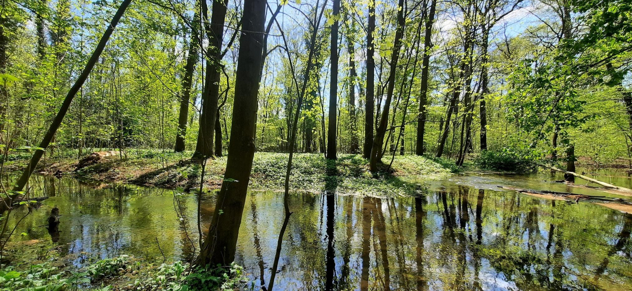
Mindful Hiking 2.0 – Runterfahren & zur Ruhe kommen
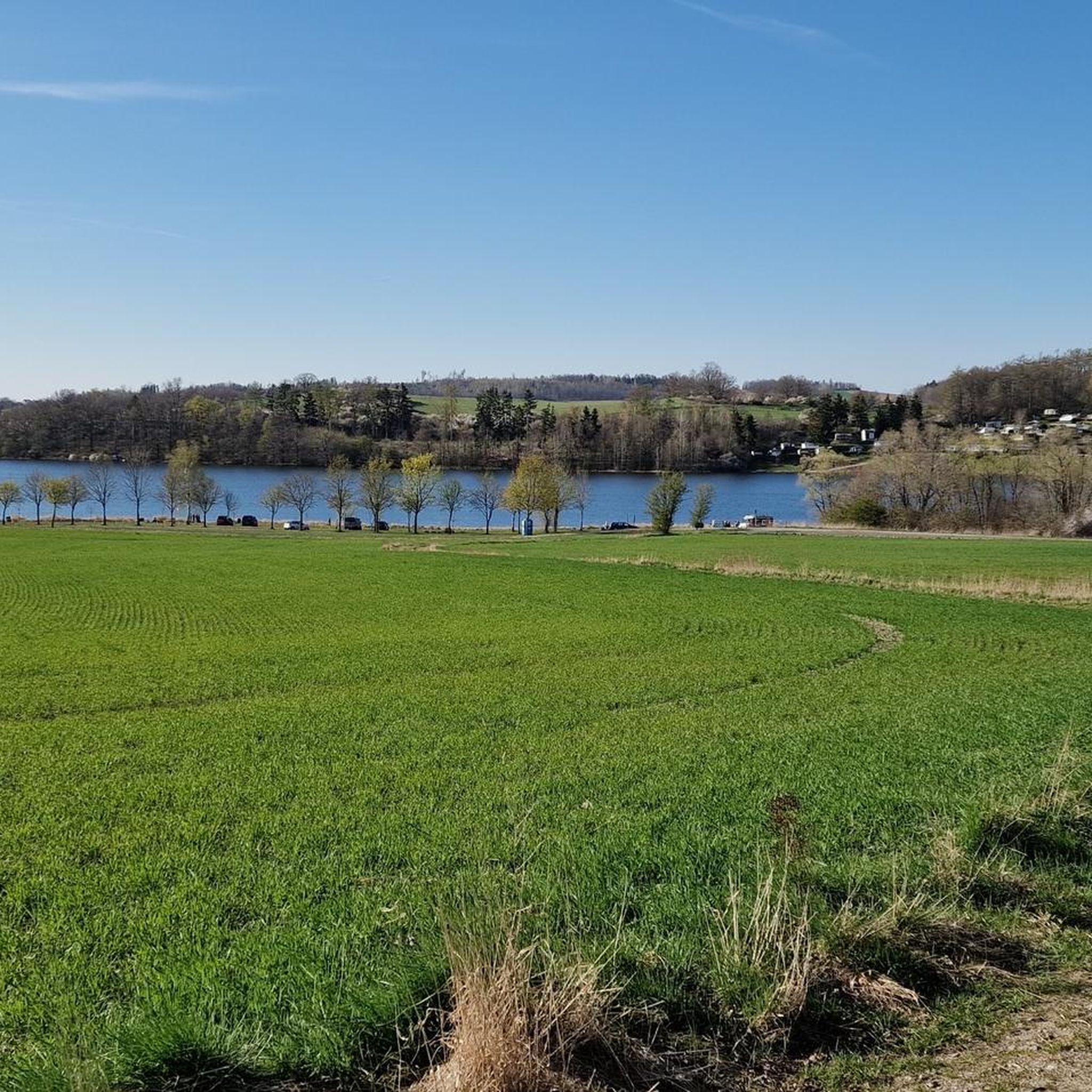
폴 하이킹
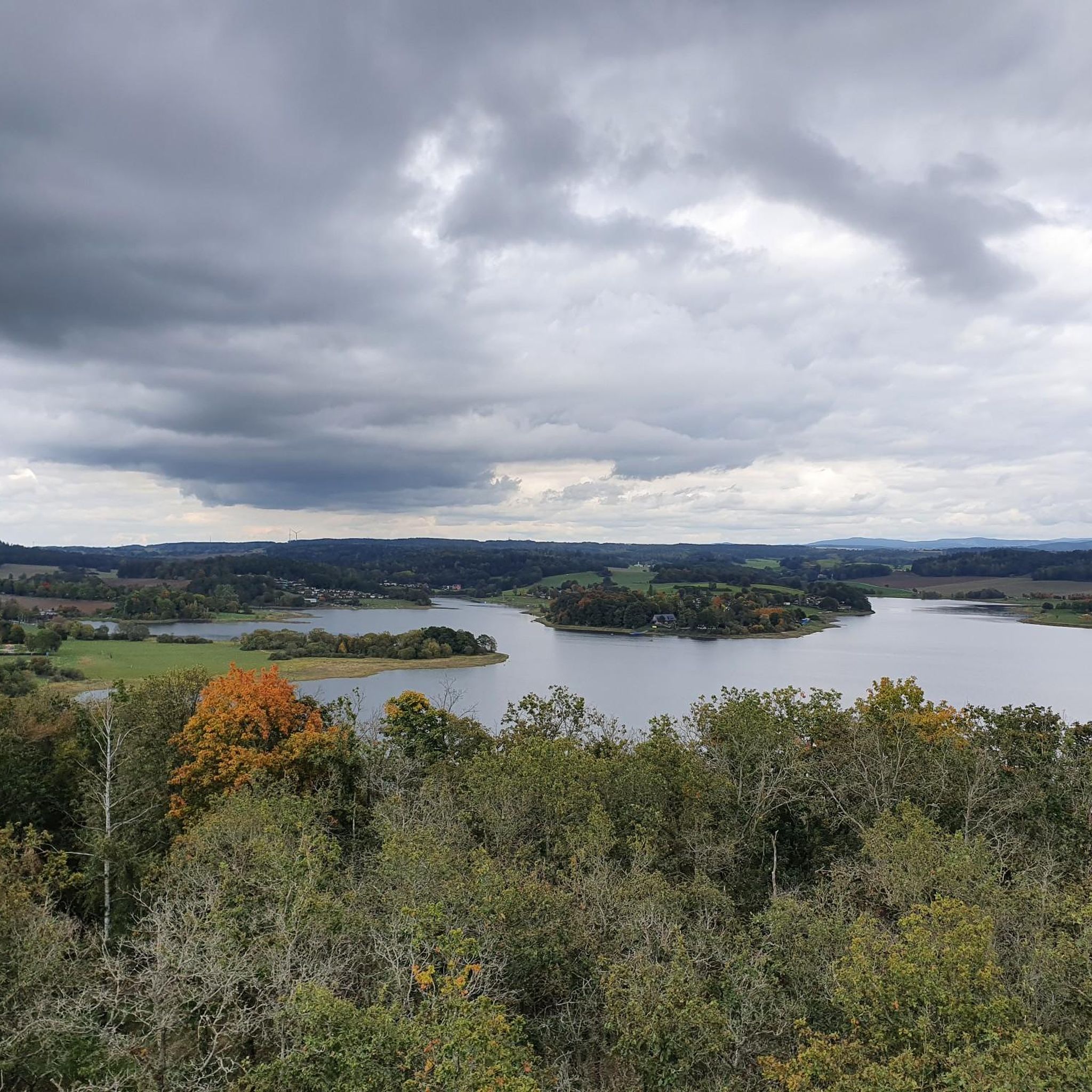
폴 사이클링
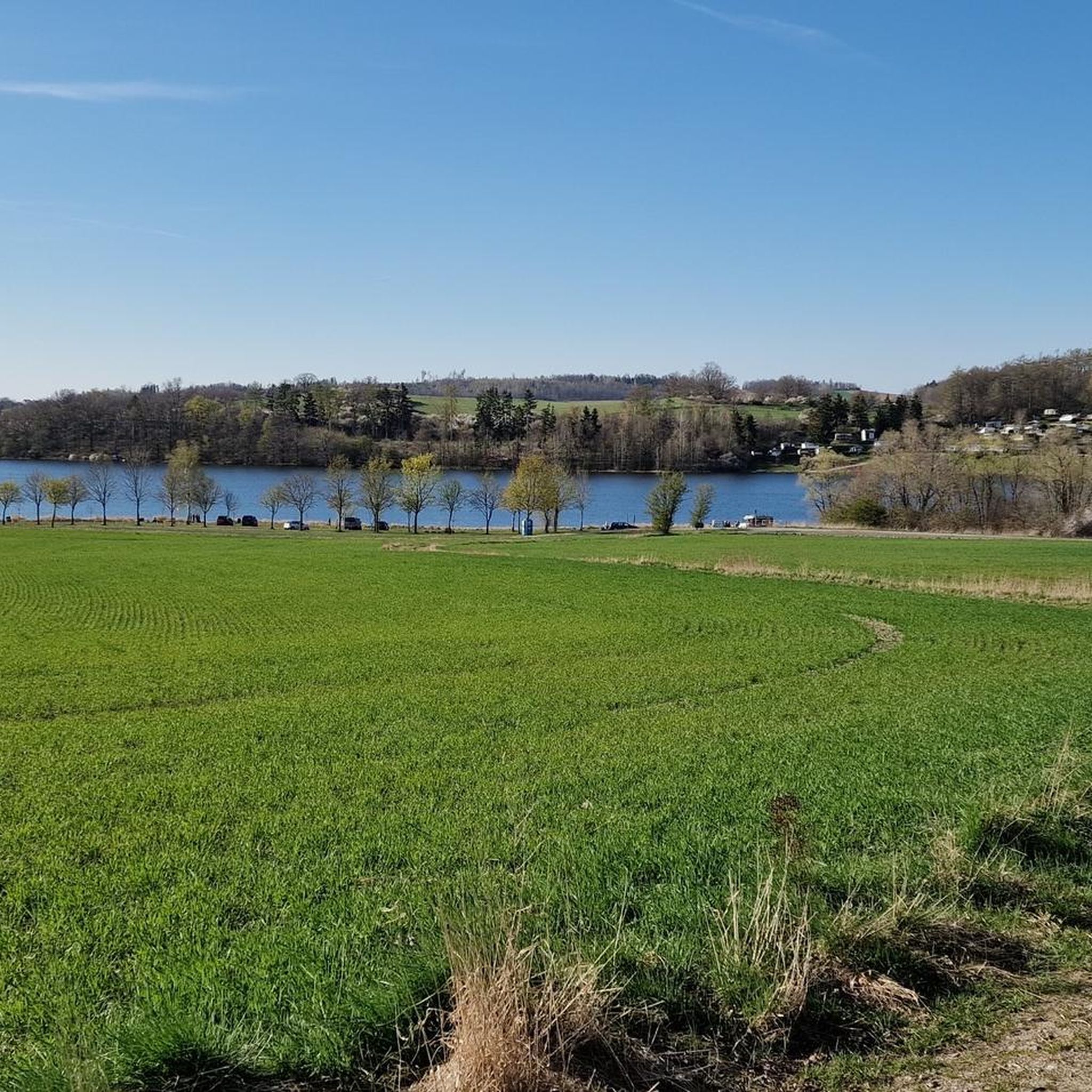
폴 MTB 트레일
폴 러닝 트레일
폴 주변의 다른 모험


커뮤니티 팁

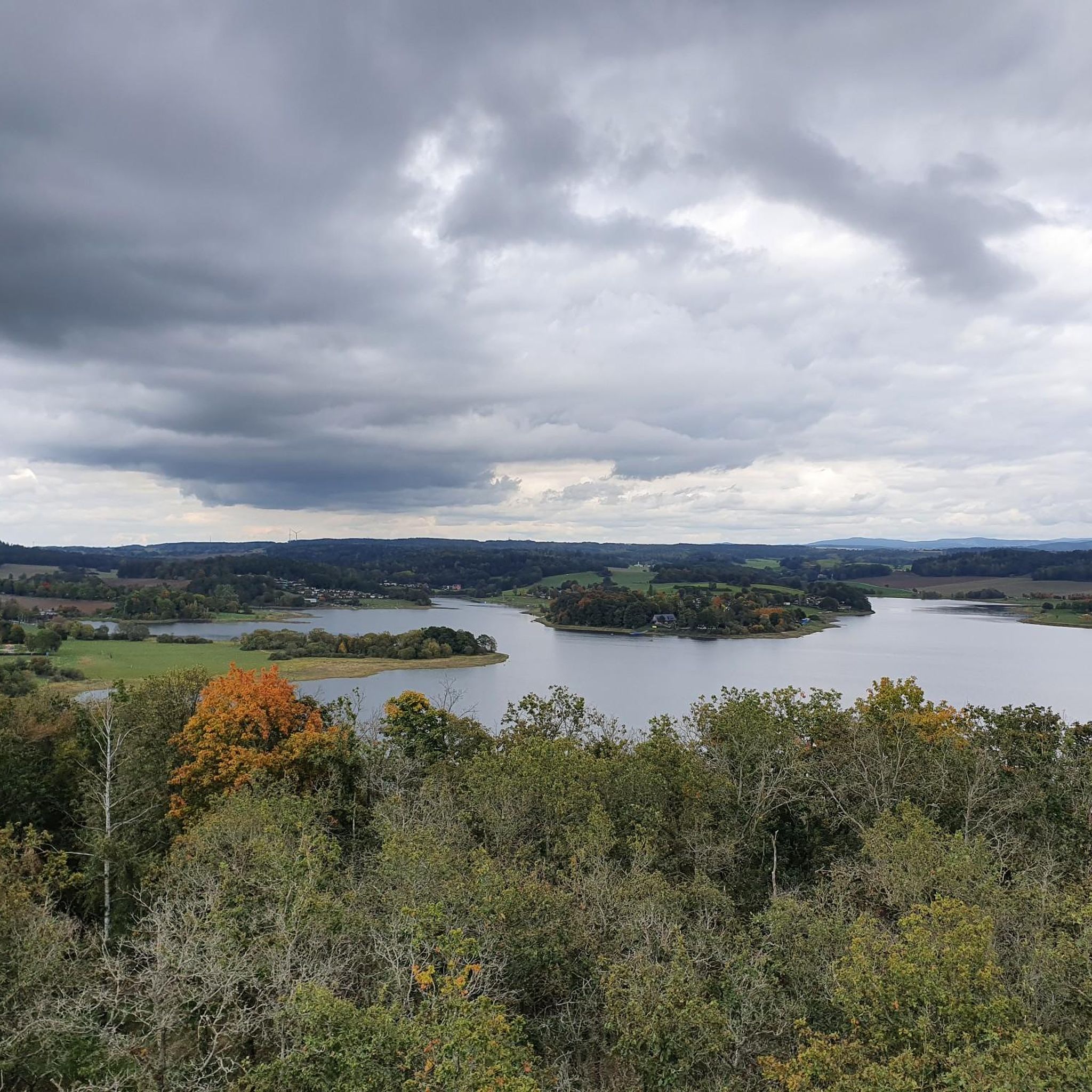
기둥은 왕립 작센 삼각 측량의 143번 빌헬름스회에 역을 표시합니다. "왕립 작센 삼각 측량(여기서는 역사적인 고유 명칭으로)은 1862년부터 1890년까지 작센 왕국의 영토에서 수행된 국가 측량이며, 동시에 삼각망을 구축했습니다. 목표는 국가 영토를 과학적-측지학적으로 정확하게 기록하고 영구적으로 표시된 고정점을 설정하여 정확한 지도 제작의 기초를 마련하는 것이었습니다. Großenhain 기본선이 기준선으로 결정되었습니다." - https://de.wikipedia.org/wiki/K%C3%B6niglich-S%C3%A4chsische_Triangulirung 이 역에서는 이웃 역인 Carlshöhe, Marienhöhe, Schönheide, Wenzelstein, Kemmlerberg 및 Kuhberg를 조준했습니다. 안타깝게도 탑에서도 더 이상 많은 것을 볼 수 없습니다.
1
0
Station 153 of the Royal Saxon Triangulation is located on the Kemmler hill. "The Royal Saxon Triangulation (here referred to by its historical name) is a land survey conducted between 1862 and 1890 in the territory of the Kingdom of Saxony, which also involved the creation of a trigonometric network. The aim was to map the territory with scientific and geodetic precision and, by establishing permanently marked control points, to create the basis for the production of accurate maps." - https://de.wikipedia.org/wiki/K%C3%B6niglich-S%C3%A4chsische_Triangulirung The triangulation network created by August Nagel was considered one of the most accurate surveying networks in the world at the time. Nagel's columns are preserved today as technical monuments. This one stands behind the tower. ``` From the "Kemmlerberg" station, the stations targeted from north to south in a clockwise direction were Kuhberg, Wilhelmshöhe, Wendelstein, Lottengrün, Bergen, Platzerberg, Kandelstein, Stelzen and Syrau.
2
0

Greiz train station is located in the Thuringian town of the same name, Greiz, as well as on the Gera Süd–Weischlitz railway line, which is still in operation today, and on the branching off railway line to Neumark, which has been closed since 1999. This meant that the station was a railway junction of local importance until the branch line was closed. Although a route through the Elstertal was first considered in the 1830s, Greiz only received a railway connection in 1865 with the Neumark – Greiz railway line run by the private Greiz-Brunner Railway Company. However, this route ended at the Elstertal and was far outside the city center. Therefore, people still wanted a more direct rail connection in the 1860s. The Saxon-Thuringian Railway Company therefore received the concession for the Wolfsgefärth–Weischlitz railway line in 1872.
3
0
Nice view of Greiz Castle.
7
0
Beautiful climbing rock 😎
8
0
Nice break area with a view of the Devil's Pulpit.
12
0

The climb may seem a bit difficult the first time, but it's definitely worth it! The trees have also been partially cleared, so the view of the castle is clear. Tip: At the plaque of Henry XXIII. A small path goes through the forest (approx. 200 meters) which ends at a tree. You should take a look while you're there. Small addendum: a lot of clearing is said to have happened by now.
3
0
From here you have a beautiful view of the Greizer Castle.
5
0
폴 주변에서 가장 인기 있는 명소


더 살펴보기
이 가이드를 통해 폴 주변의 더 놀라운 정상들을 확인해보세요:
