마이쇼펜에서 가장 멋진 20개의 산 정상
마이쇼펜의 산 정상에 오르면 이 지역의 아름다운 모습을 제대로 구경할 수 있어요. 다만, 20
곳이나 되는 산 정상 중에서 어떤 곳을 가야 할 지 고민된다는 게 문제죠. 마이쇼펜에서 가장 멋진 산 정상을 살펴본 후에 마음에 드는 산 정상을 다음 모험 계획에 추가해보세요.
마지막 업데이트: 8월 30, 2026
슈미텐회헤반 정상역
하이라이트 • 휴식 공간
예를 들어, Schmitten 계곡 역에 주차하고 거기서 케이블카를 타고 Schmittenhöhe로 올라갈 수 있습니다. 그런 다음 68번 …
번역문 보기
팁에 의해

콜마이스코프 정상 및 올빼미 조각
하이라이트 • 정상
번역문 보기
팁에 의해

이런 장소를 발견하려면 지금 가입하세요
최고의 싱글 트랙, 봉우리 및 다양한 흥미로운 야외 장소에 대한 추천을 받아보세요.
무료 회원 가입

Asitzbahn II 산 정상역 & AsitzBräu
하이라이트 • MTB 공원
번역자 Google •
팁에 의해

자우슈타이겐 정상 (1,912미터)
하이라이트 • 정상
번역자 Google •
팁에 의해

무료로 가입하여 마이쇼펜 주변의 더 많은 봉우리를 발견하세요.
무료 회원 가입
이미 komoot 계정이 있나요?
오늘 무료 계정으로 시작하세요
다음 모험이 기다리고 있어요.
로그인 또는 가입하기
마이쇼펜 주변 인기 장소
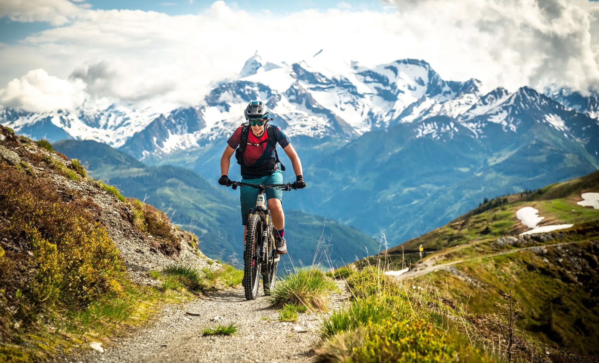
Maishofen on two wheels – MTB experiences with a dreamy backdrop
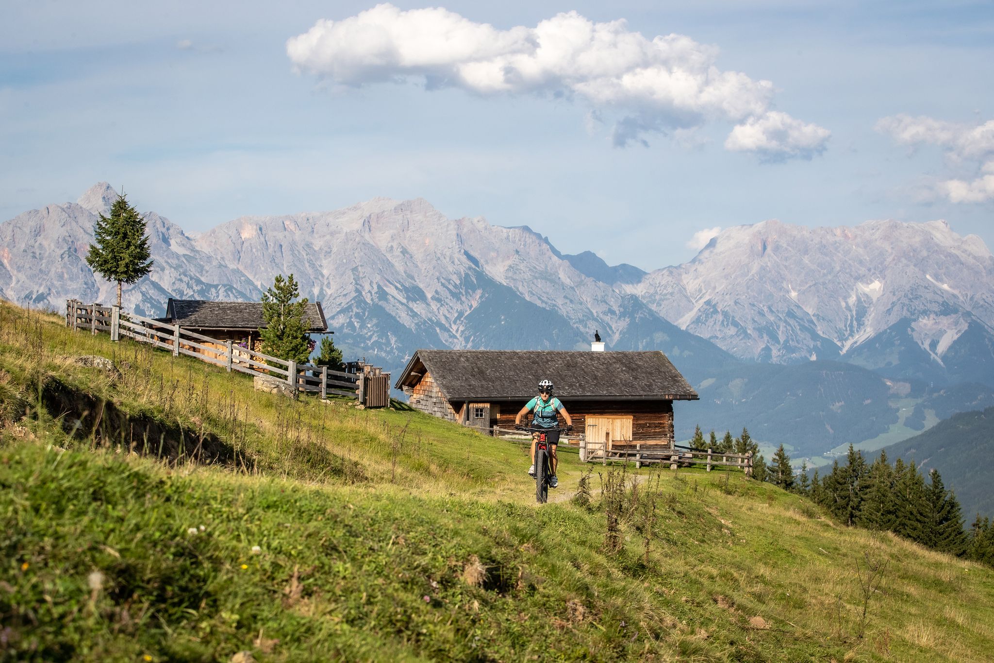
A little jewel on a grand scale – MTB around Maishofen
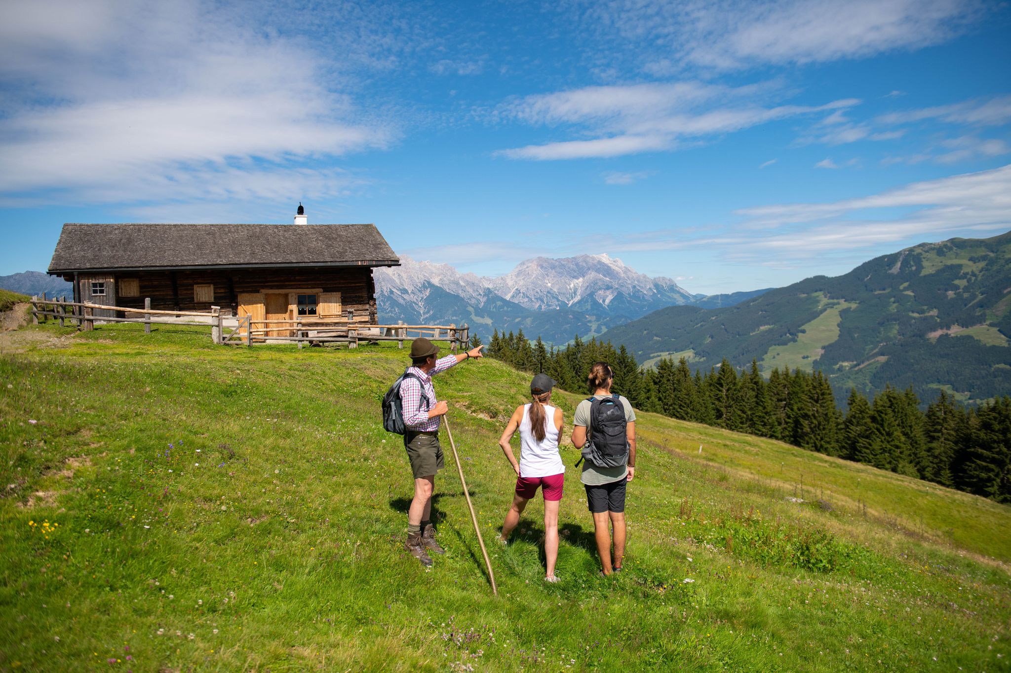
Insider tips at Lake Zell – hike in Austria’s Maishofen
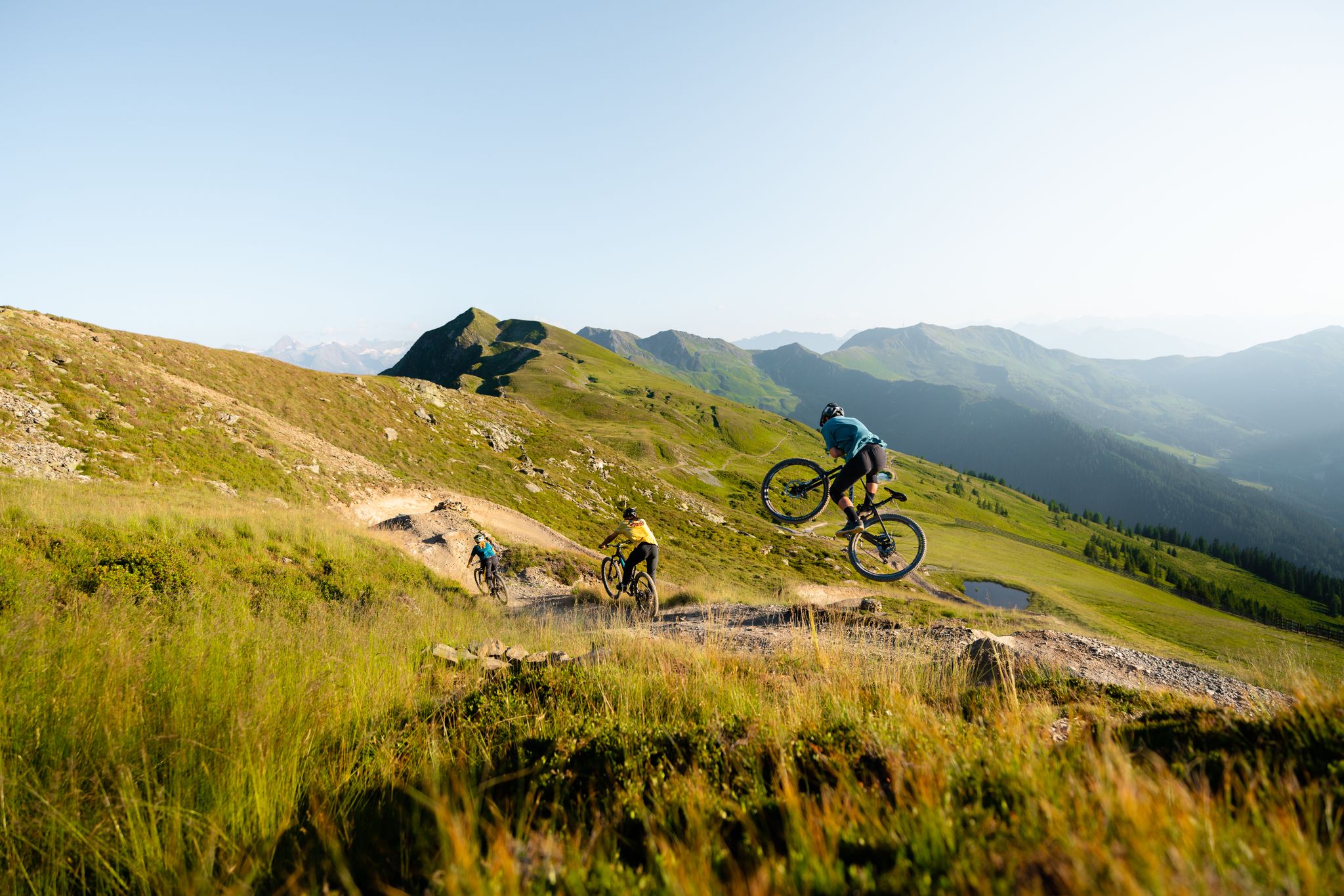
Trail fun in Saalbach – Austria's largest MTB region
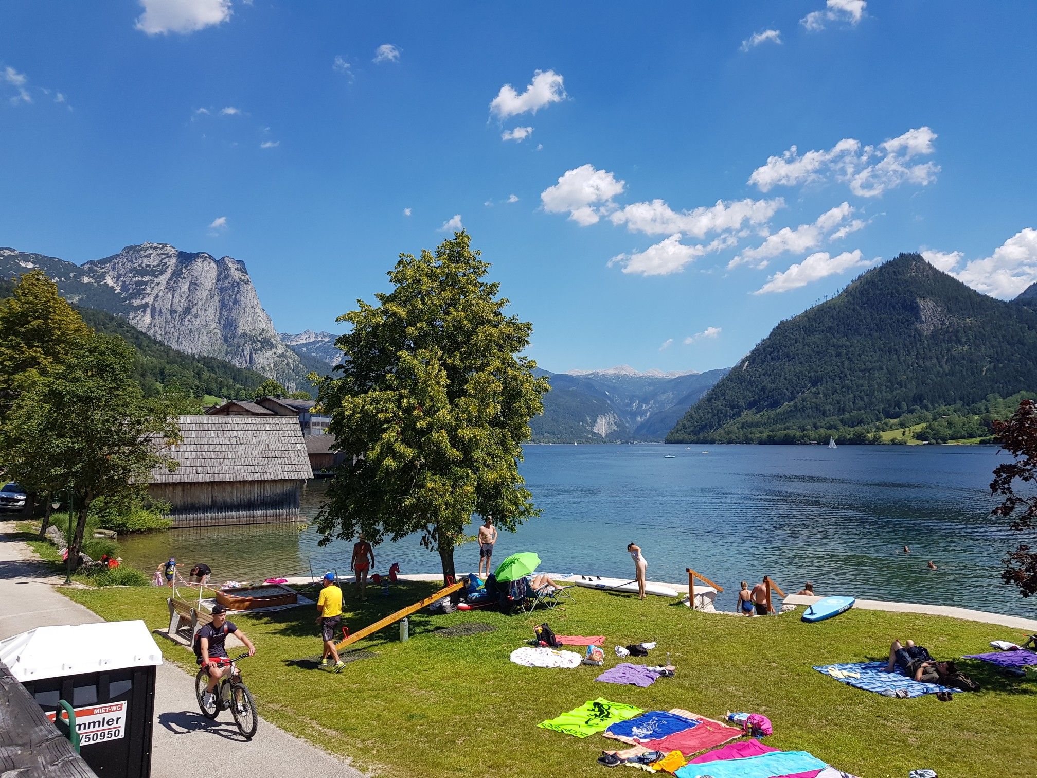
Austria's sensational swimming lakes

마이쇼펜 주변 그래블 라이딩
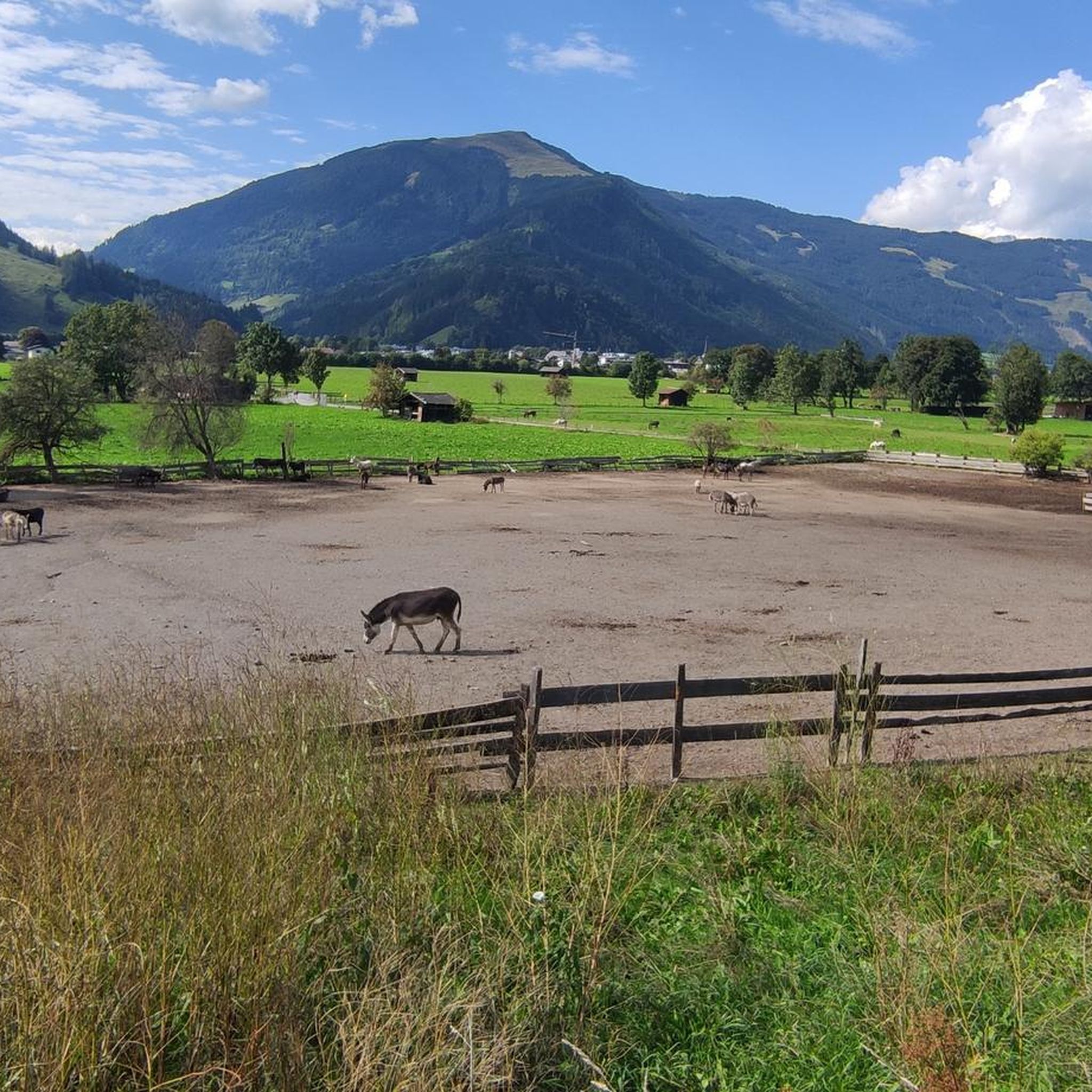
마이쇼펜 MTB 트레일
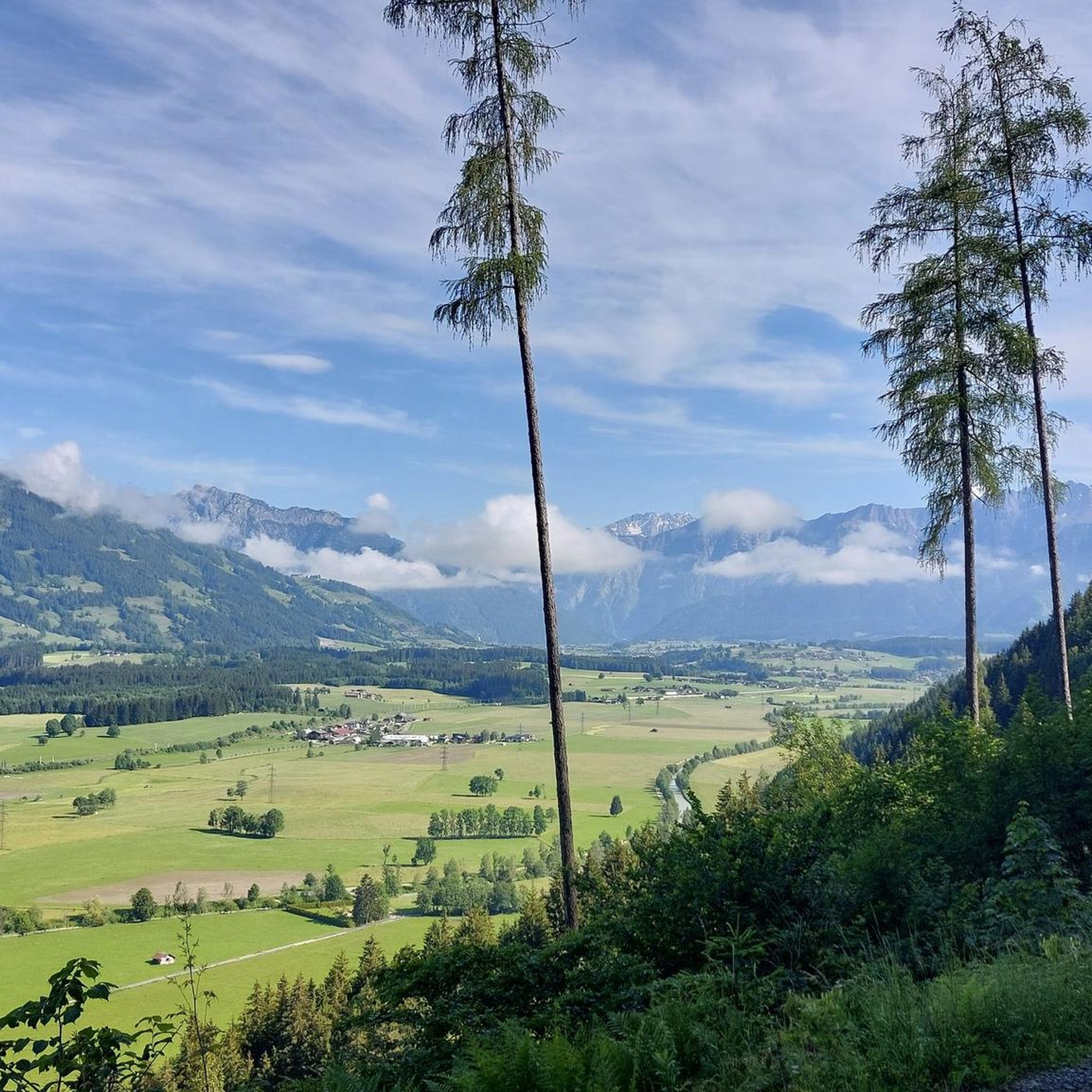
마이쇼펜 하이킹
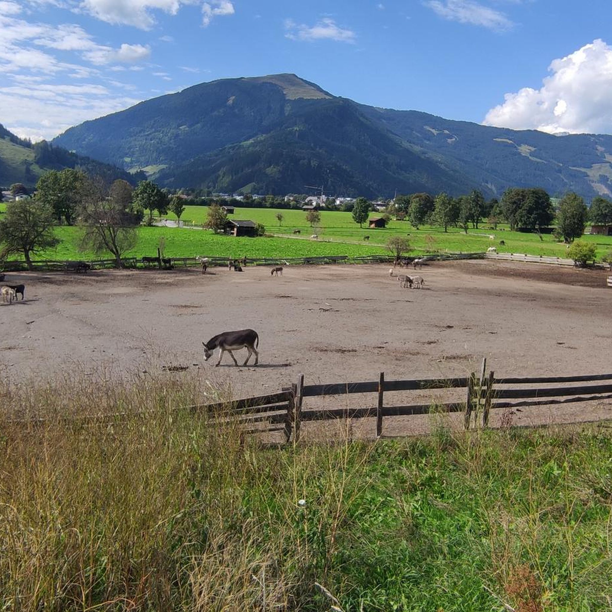
마이쇼펜 사이클링
마이쇼펜 러닝 트레일
마이쇼펜 주변의 다른 모험


커뮤니티 팁

The summit of the Sausteig (1,912 m) is a prominent landmark on the Saalachtal High Trail. From here, the view extends far over the Glemmtal Valley, the Leogang Steinberge Mountains, and, on a clear day, all the way to the Hohe Tauern. A wonderful place to pause, enjoy the view, and celebrate reaching the summit.
3
0

When I was looking for a trail for the Sausteigen hike, I couldn't find anywhere I could start from the Asitz cable car. So, I set out on this tour on my own. The starting point of my hike was the Asitz mountain station, continuing over the Großer Asitz, Schabergkogel, and Geierkogel. From there, it descends briefly and then follows the Saalachtaler Höhenweg (Saalach Valley High Trail). The forest path makes the hike particularly pleasant—even though I had bad weather. You pass several summit crosses—e.g., the Funeck or Lochalmköpfl. Then, keep right at the next junction; overall, the trail is very well signposted. The Sausteigen is marked "black," but I can only partially agree with that. After the junction, there is a short, steep climb—then along the ridge until you reach the summit cross of the Sausteigen. The black marking most likely comes from hiking along the ridge of the mountain—because it's not difficult if you're in good shape :)
1
0

View from the summit of the Sausteige 1912 m down to Saalfelden and the Berchtesgaden Alps.
1
0

Great to linger and to get a small overview. At the top there is a bench and a hiking map for more information.
1
0

Maps and signposts give different information about the name: Sausteige or Sausteign; the locals say Sausteign.
1
0

The nice thing about this climb is that in very hot weather you walk for 80% in the shade. There are also not such great height differences in foot steps.
1
0

From here you can really see a few thousand... Brilliant 😎
5
1

Here in the café you can enjoy your coffee and the brilliant view 😶🌫️☕️
5
1


더 살펴보기
이 가이드를 통해 마이쇼펜 주변의 더 놀라운 정상들을 확인해보세요:
