잘펠덴 암 슈타이너넨 미어에서 가장 멋진 20개의 산 정상
잘펠덴 암 슈타이너넨 미어의 산 정상에 오르면 이 지역의 아름다운 모습을 제대로 구경할 수 있어요. 다만, 20
곳이나 되는 산 정상 중에서 어떤 곳을 가야 할 지 고민된다는 게 문제죠. 잘펠덴 암 슈타이너넨 미어에서 가장 멋진 산 정상을 살펴본 후에 마음에 드는 산 정상을 다음 모험 계획에 추가해보세요.
마지막 업데이트: 10월 23, 2026
슈미텐회헤반 정상역
하이라이트 • 휴식 공간
예를 들어, Schmitten 계곡 역에 주차하고 거기서 케이블카를 타고 Schmittenhöhe로 올라갈 수 있습니다. 그런 다음 68번 …
번역문 보기
팁에 의해

Archenkanzel
하이라이트 • 전망대
번역자 Google •
팁에 의해

이런 장소를 발견하려면 지금 가입하세요
최고의 싱글 트랙, 봉우리 및 다양한 흥미로운 야외 장소에 대한 추천을 받아보세요.
콜마이스코프 정상 및 올빼미 조각
하이라이트 • 정상
번역문 보기
팁에 의해


오늘 무료 계정으로 시작하세요
다음 모험이 기다리고 있어요.
잘펠덴 암 슈타이너넨 미어 주변 인기 장소
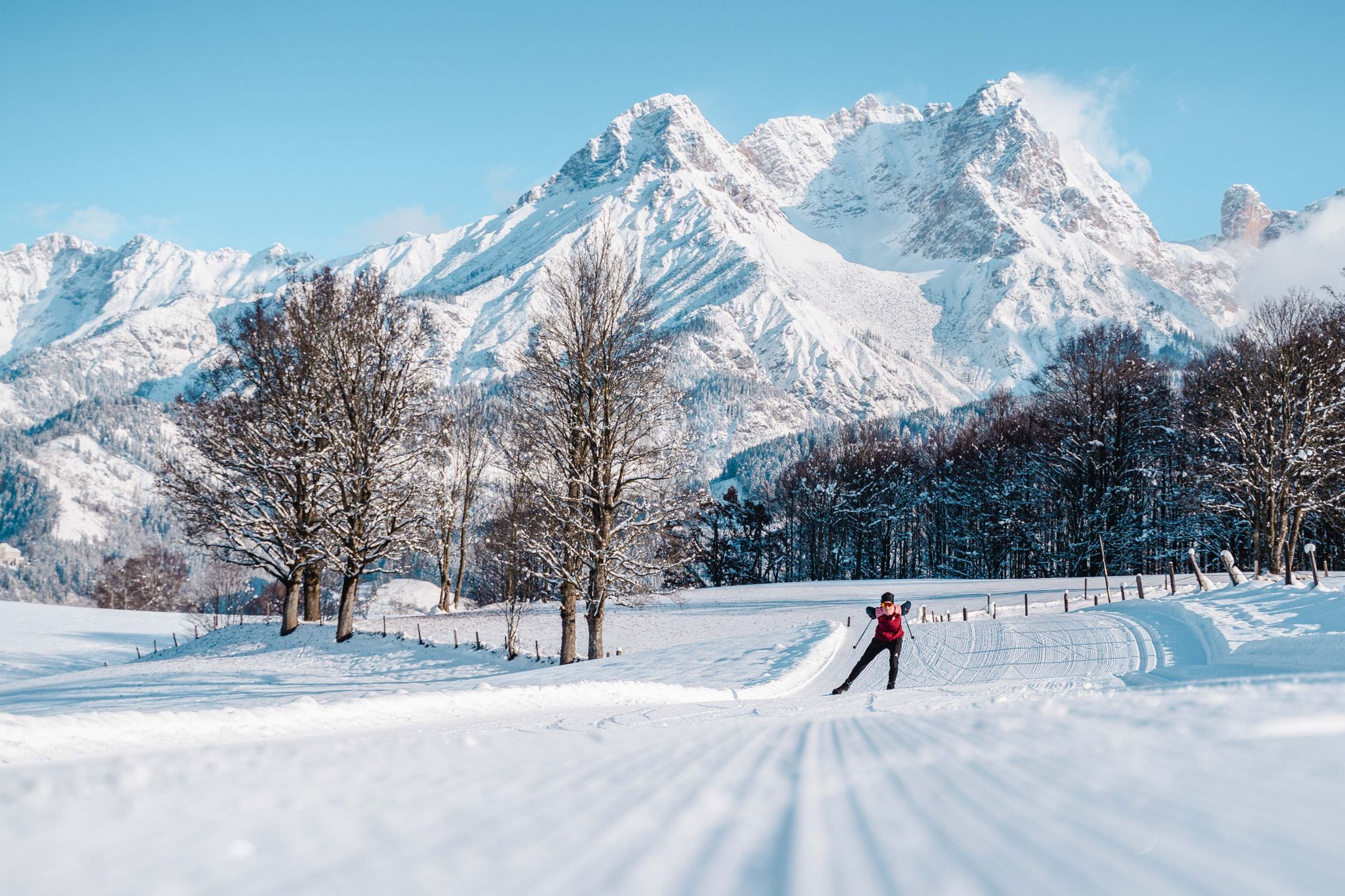
Cross-country skiing in the heart of the Austrian Alps – Saalfelden Leogang
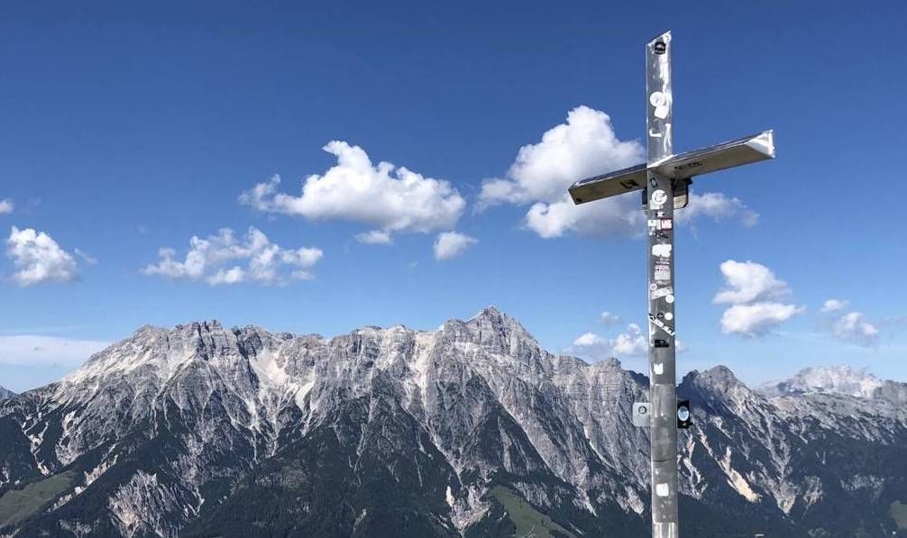
야생 자연과 위대한 정상 - 오스트리아 살라흐 계곡 등강 하이킹
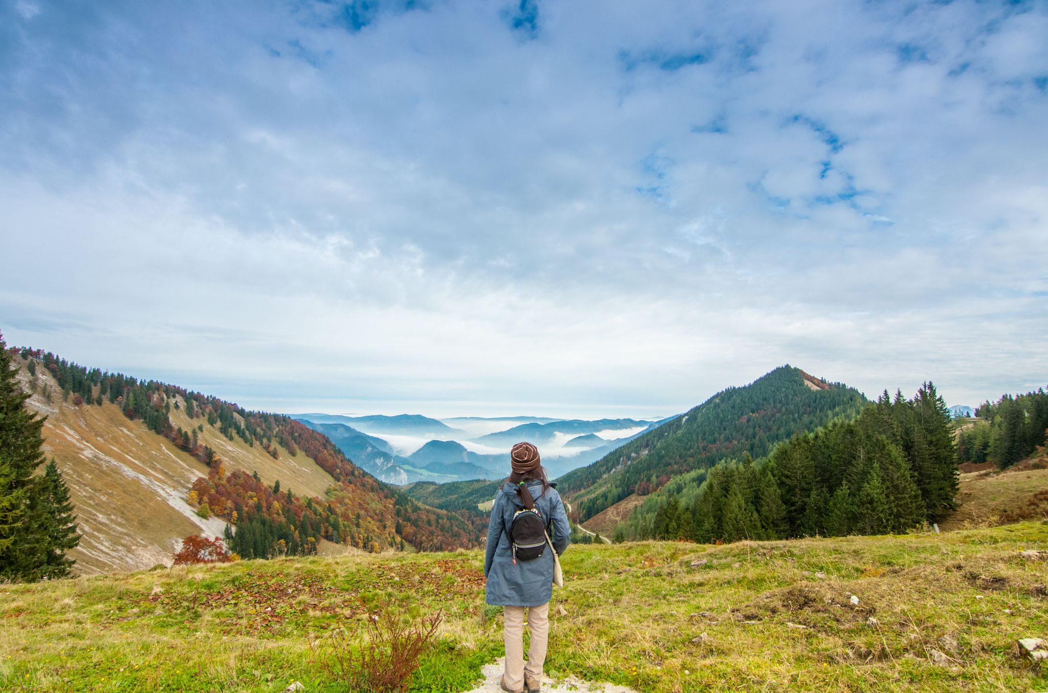
Arnoweg - 오른스타일 제도 출력 화면
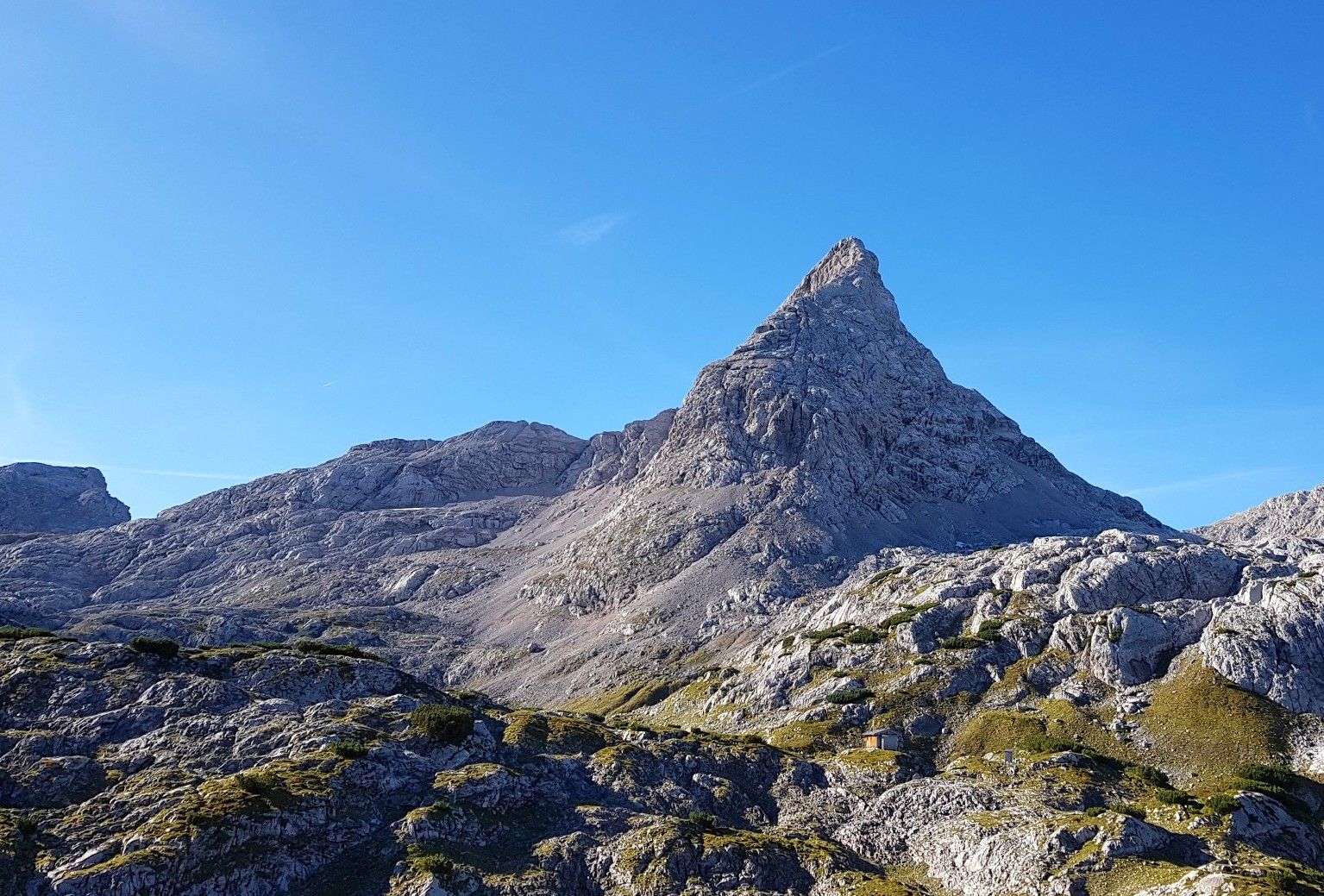
Steinernes Meer에서 6일 – 바위 파도 위를 하이킹
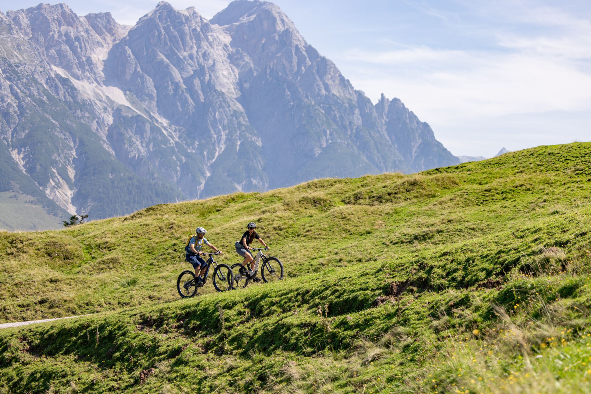
By bike through sport's history – Tour de Champions in Austria's largest cycling region

Leisure and Family Tours – MTB in Saalfelden Leogang

Sweat, trails & views: MTB for the ambitious in Saalfelden Leogang

Gravel, rocks and dust – gravel riding around Saalfelden Leogang

Find your flow – trail running in Saalfelden Leogang
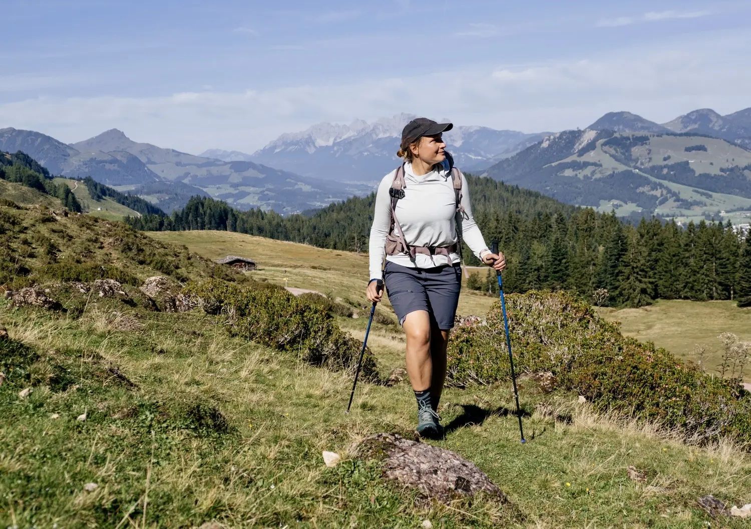
Recommended hikes for every mood in Saalfelden Leogang
잘펠덴 암 슈타이너넨 미어 주변의 다른 모험


커뮤니티 팁

When you cross the Watzmanngrat and then descend into the Wimbachtal, you shouldn't think that you've made it to the southern tip. Of course, congratulations to everyone who conquered the ridge - you should enjoy the experience and the views. The view into the Wimbachtal and over to the Großer Hundstod is particularly beautiful. But: the descent into the Wimbachtal is at least as demanding as the actual ridge crossing. Here you usually spend 3-4 hours on a scree, steep descent. The Wimbachtal is only getting closer very, very slowly...
5
0
Turn around every now and then as you climb - the Watzmannhaus quickly becomes smaller. From the intermediate summit it becomes a little flatter. Here it is also worth walking towards the left edge and looking down towards the small Watzmann. The golden Christ cross shines at the summit. On the way to Hocheck we noticed the confusing waymarking. There is actually a reasonable climb over long stretches, which is accurately categorized as T3. However, the red and white path markings repeatedly pointlessly send the hiker to the left into more difficult terrain. The recommendation would be not to attach too much weight to the path markings, but rather to look for the main path and follow it.
7
0

The southern tip is only one meter lower at 2712 m and than the middle tip and the third and last Watzmann summit on its crossing. The piece from the Mittelspitze to here is tough, a very great tightrope walk with a few insured spots. It is one of the most spectacular and beautiful paths in the Eastern Alps, but should not be underestimated. Good physical condition, sure-footedness, a head for heights and Alpine experience are required. The view rewards everyone who comes up here, Steinernes Meer, Hochkalter, Hochkönig, Königssee, Hoher Dachstein and much more can be seen from here. The descent is then usually via the Wimbachgries, a very beautiful but also long and exhausting route.
4
1
First of the 3 Watzmann summits, the ascent up to here is technically not particularly demanding, but long and with many meters in altitude. The view is magnificent.
6
0

One is very proud to have arrived up here. But you will also be rewarded with a magnificent panoramic view.
4
0

From here you can really see a few thousand... Brilliant 😎
5
1

Here in the café you can enjoy your coffee and the brilliant view 😶🌫️☕️
5
1

Great view up there
12
1
잘펠덴 암 슈타이너넨 미어 주변에서 가장 인기 있는 경로
잘펠덴 암 슈타이너넨 미어 주변에서 가장 인기 있는 명소


더 살펴보기
이 가이드를 통해 잘펠덴 암 슈타이너넨 미어 주변의 더 놀라운 정상들을 확인해보세요:
