경로플래너기능업데이트
App
로그인 또는 가입
앱 다운로드
로그인 또는 가입
경로
Places to see
Mountain Peaks
오스트리아
잘츠부르크
젤암제

탁센바흐

탁센바흐‬에서 가장 멋진 ‪20‬개의 산 정상


탁센바흐의 산 정상에 오르면 이 지역의 아름다운 모습을 제대로 구경할 수 있어요. 다만, 20
곳이나 되는 산 정상 중에서 어떤 곳을 가야 할 지 고민된다는 게 문제죠. 탁센바흐에서 가장 멋진 산 정상을 살펴본 후에 마음에 드는 산 정상을 다음 모험 계획에 추가해보세요.

마지막 업데이트: 11월 7, 2026

호흐글로커 서밋

하이라이트 • 정상

Easily accessible on foot, also recommended for brisk running sessions

번역자 Google •

팁에 의해

하이킹 보기휴대폰으로 전송
저장
From the Schneeberg you have a breathtaking view of the surrounding mountains and the Hochkönig massif. At 1,921 meters above sea level, with a bit of luck, you can even see the Großglockner on sunny days.

번역자 Google •

팁에 의해

저장

이런 장소를 발견하려면 지금 가입하세요

최고의 싱글 트랙, 봉우리 및 다양한 흥미로운 야외 장소에 대한 추천을 받아보세요.

무료 회원 가입

훈트슈타인 정상

하이라이트 • 정상

At 2,117 meters, the Hundstein is the highest mountain in the Salzburg Slate Alps and the panorama is really impressive.

The view sweeps over the southern slopes of the Steinernes …

번역자 Google •

팁에 의해

저장

Schneeberg 정상 십자가

하이라이트 • 정상

The Schneeberg is a nice stopover. We went up over the Tiergartenalm and then down along the black slope to Mühlbach. Great view!

번역자 Google •

팁에 의해

저장

Wastlhöhe 정상

하이라이트 • 정상

11.01.2020 - Be sure to climb the summit cross on the Wastlhöhe and enter yourself in the summit book, enjoy the all-round view here.

번역자 Google •

팁에 의해

저장

무료로 가입하여 탁센바흐 주변의 더 많은 봉우리를 발견하세요.

무료 회원 가입

이미 komoot 계정이 있나요?

오늘 무료 계정으로 시작하세요

다음 모험이 기다리고 있어요.

로그인 또는 가입하기

탁센바흐 주변 인기 장소

3000 미터 봉우리와 마주 - Hohe Tauern Panorama Trail
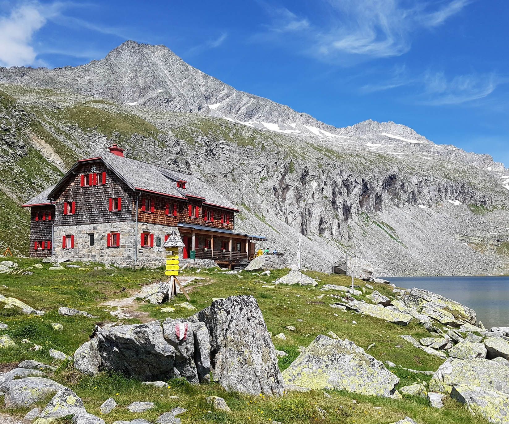
오스트리아 보헤미아 숲에서 카르니크 알프스까지 하이킹 - 루페르티 트레일
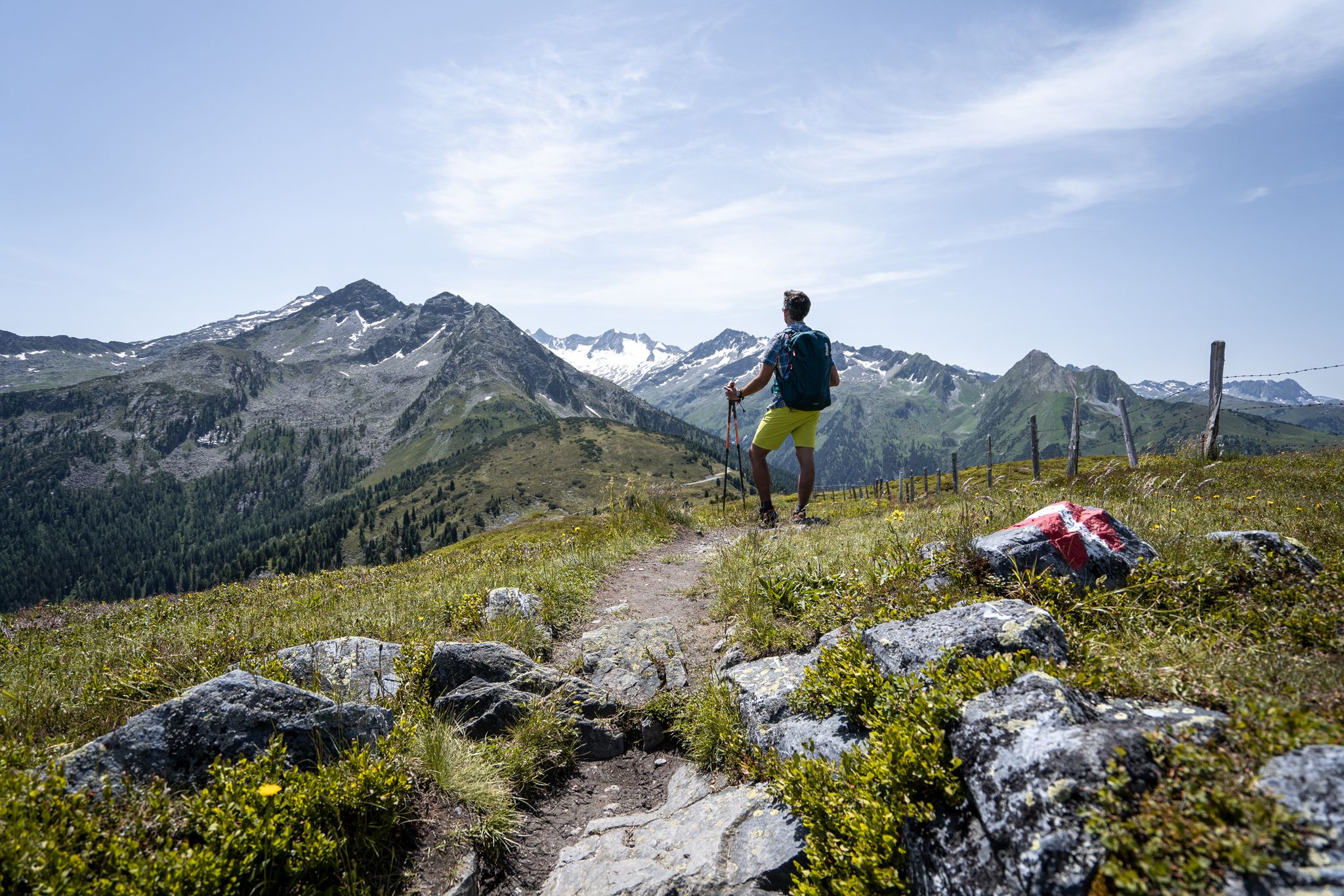
가장 높은 산맥의 최고의 전망 — Hohe Tauern Panorama Trail
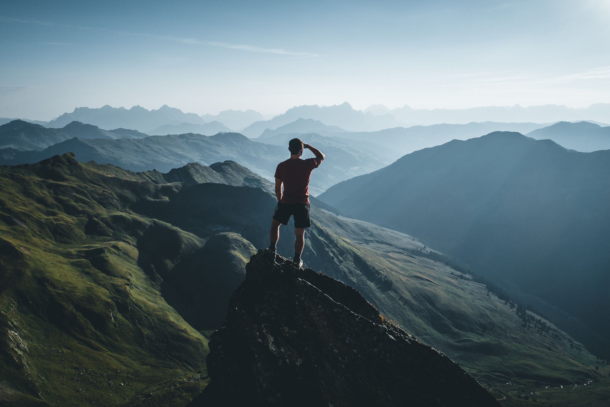
On a voyage of discovery in Austria’s High Tauern National Park
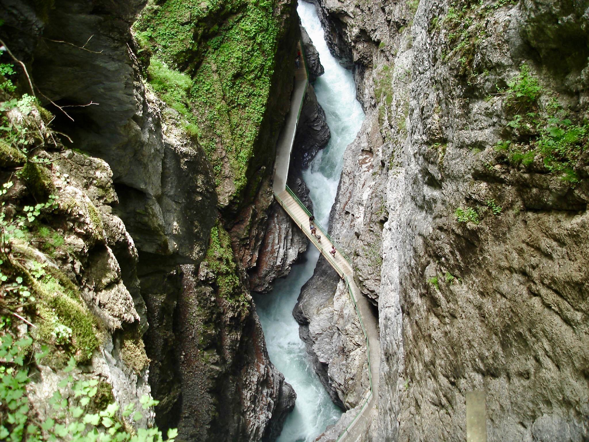
The most beautiful gorges of the Alps
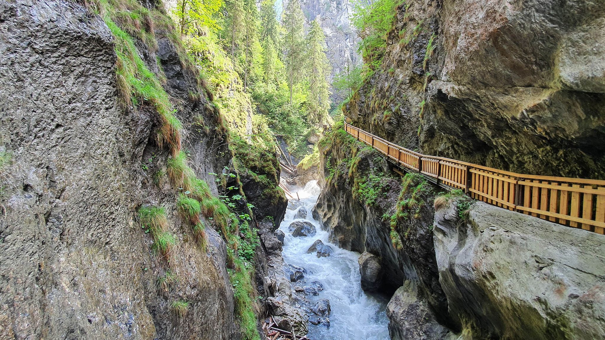
The most beautiful gorges in the Salzburger and Berchtesgadener Land
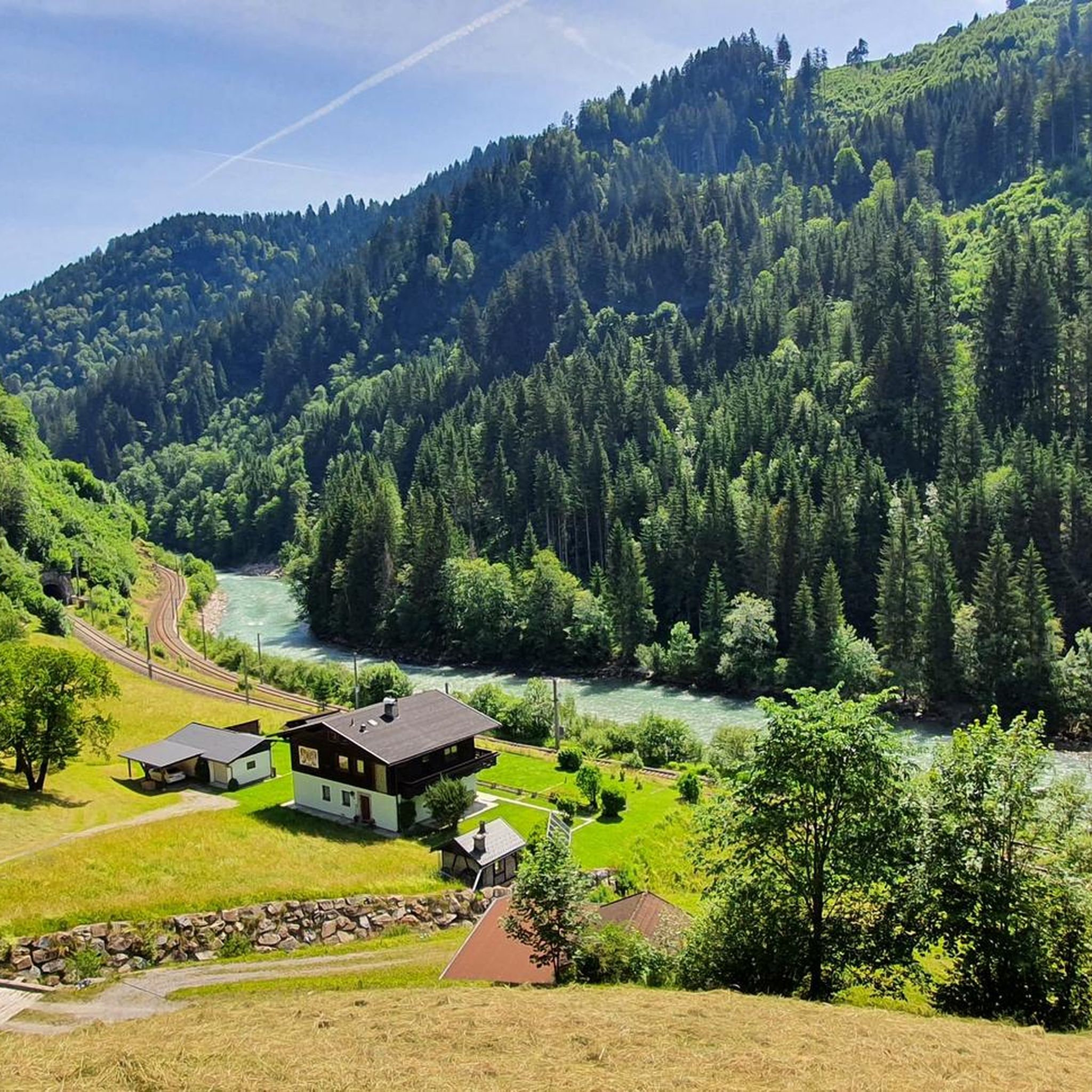
탁센바흐 하이킹
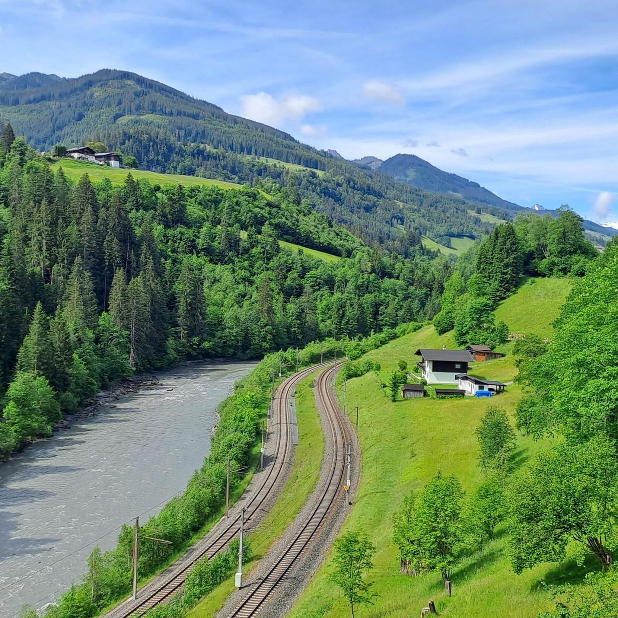
탁센바흐 사이클링
탁센바흐 로드 사이클링 경로
탁센바흐 MTB 트레일

탁센바흐 주변의 다른 모험

3000 미터 봉우리와 마주 - Hohe Tauern Panorama Trail

하이킹 컬렉션 에 의해

COUCHFLUCHT

커뮤니티 팁

Christian
10월 27, 2026, Hochglocker Gipfel

환상적이고 멋진 전망, 휴식을 취하기에 이상적입니다. 벤치, 테이블, 선베드가 마련되어 있습니다...

번역: Google•

0

0

Great views in good weather. If it rains or snows, bring a change of clothes.

번역: Google•

2

0

Easily accessible on foot, also recommended for brisk running sessions

번역: Google•

6

0

From the Schneeberg summit you have a fantastic view of the Hochkönig

번역: Google•

1

0

... on the "Schneeberg" with summit crosses - There are 2 summit crosses on the “Schneeberg”! - 1st summit cross - erected by the "Bergrettung Mühlbach am Hochkönig" (with stamp), at 1,921 m altitude - and a little further away the second summit cross - erected by the St. Veit Volunteer Fire Department - including via path no. 15, difficulty level "red" - It goes steadily uphill/down along a narrow path - beautiful panoramic view - near "Mühlbach am Hochkönig" in Salzburger Land, Austria

번역: Google•

0

1

From the Schneeberg you have a breathtaking view of the surrounding mountains and the Hochkönig massif. At 1,921 meters above sea level, with a bit of luck, you can even see the Großglockner on sunny days.

번역: Google•

1

0

Michael
12월 30, 2022, Wastlhöhe Summit

A fantastic view of the Hochkönig

번역: Google•

5

0

Michael
12월 30, 2022, Wastlhöhe Summit

Fantastic view of the Hochkönig

번역: Google•

5

0

탁센바흐 주변에서 가장 인기 있는 경로

탁센바흐 교통량 없는 자전거 라이딩

탁센바흐 주변에서 가장 인기 있는 명소

Places to see

Store rating

komoot 모바일 앱으로 영감을 받아보세요

무료 komoot 계정로 끝없는 야외 모험을 손쉽게 찾고, 맞춤 설정하며 길안내할 수 있어요.

또는

지금 komoot에 가입하세요
Store rating

더 살펴보기

이 가이드를 통해 탁센바흐 주변의 더 놀라운 정상들을 확인해보세요:

마리아 알름 암 슈타이너넨 미어발트 임 핀츠가우비에호펜레오강잘바흐-힌터글렘잘펠덴 암 슈타이너넨 미어라우리스피젠도르프브람베르크 암 빌트코겔바이스바흐 바이 로퍼스털펠덴우텐도르프미터실니던실빌려주 다언켄로퍼카프룬브룩 안 데어 그로스글로크너슈트라세Fusch an der Großglocknerstraße장크트 마틴 베이 로퍼마이쇼펜홀러스바흐 임 핀츠가우디엔텐 암 호츠쾨니히크림노이키르헨 암 그로스베네디거

근처 어드벤처 가이드

브룩 안 데어 그로스글로크너슈트라세 즐길거리

background

새로운 정복을 위한 준비를 하세요

무료로 가입하기
탐험하기
경로경로 플래너기능바우처 사용하이킹MTB 트레일로드 사이클링 경로바이크패킹사이트맵
앱 다운로드
소셜 미디어에서 팔로우하기

© komoot GmbH

개인 정보 보호 정책