20의 발트뮌헨가지 명소 & 주요 장소
발트뮌헨에는 둘러볼 만한 장소가 많답니다. 하이킹 또는 사이클링을 좋아한다면 발트뮌헨에 숨겨진 20
가지 보석을 만날 수 있을 거예요. 이 지역의 주요 명소를 살펴보면서 다음 모험을 계획해보세요.
마지막 업데이트: 9월 12, 2026
체르호프 전망탑 및 옛 군사 부지
하이라이트 • 전망대
번역자 Google •
팁에 의해

슈바르첸부르크 성터(성 폐허)
하이라이트 • 성
번역자 Google •
팁에 의해

이런 장소를 발견하려면 지금 가입하세요
최고의 싱글 트랙, 봉우리 및 다양한 흥미로운 야외 장소에 대한 추천을 받아보세요.
크로이츠펠젠 정상 (기바흐트)
하이라이트 • 정상
번역자 Google •
팁에 의해
스테이너네 바위벽(슈바르츠비어르크 산)
하이라이트 (구간) • 자연 기념물
번역자 Google •
팁에 의해

오늘 무료 계정으로 시작하세요
다음 모험이 기다리고 있어요.
발트뮌헨 주변 인기 장소

골드슈타이그 - 상팔츠바흐와 파사우 사이의 38개 구간

바이에른의 국가지정 자연 보호 지역
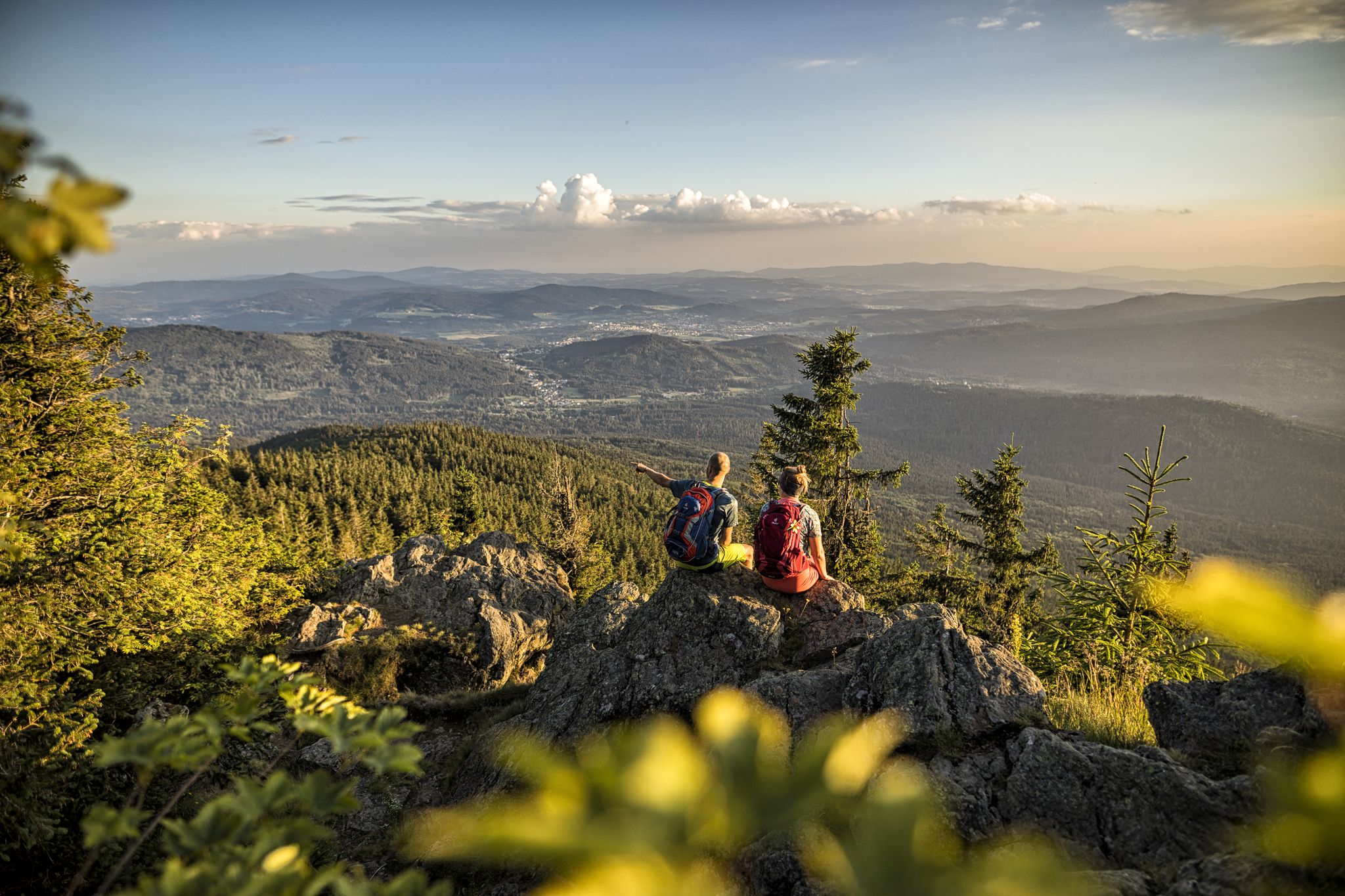
Hiking tips for the Bavarian Forest
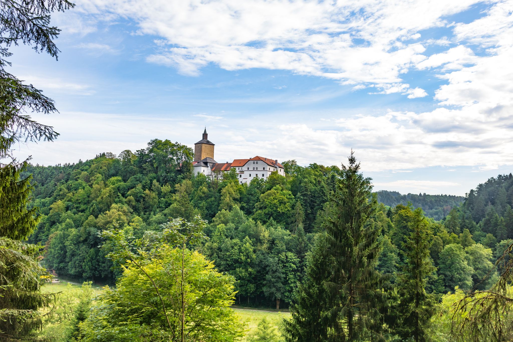
Pandurensteig의 역사를 거닐며
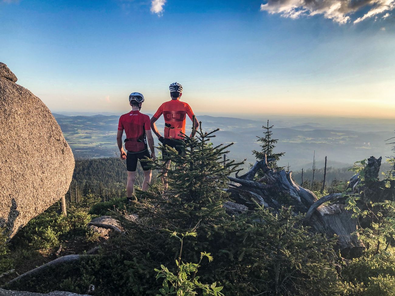
독일을 돌아다니는 정상 투어: 가장 높은 산경로와 통행료
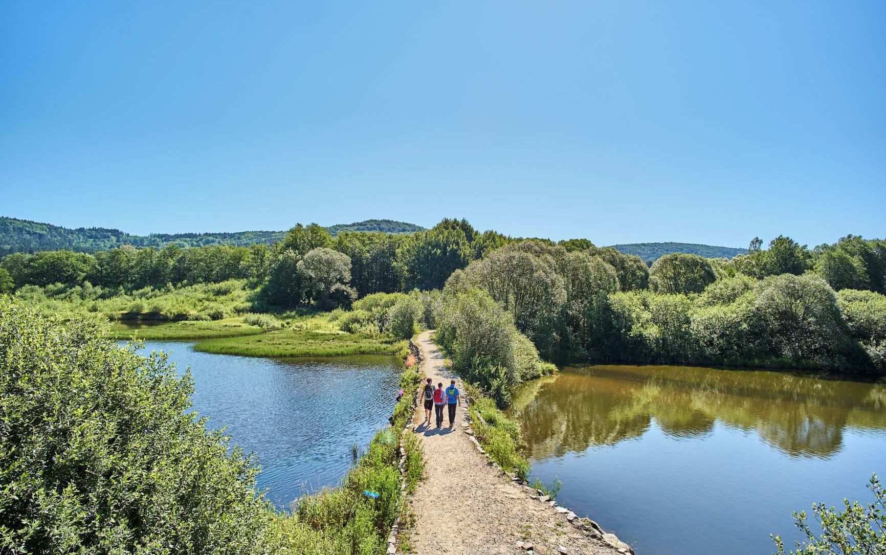
The best of the Goldsteig in Eastern Bavaria – 6 scenic hikes
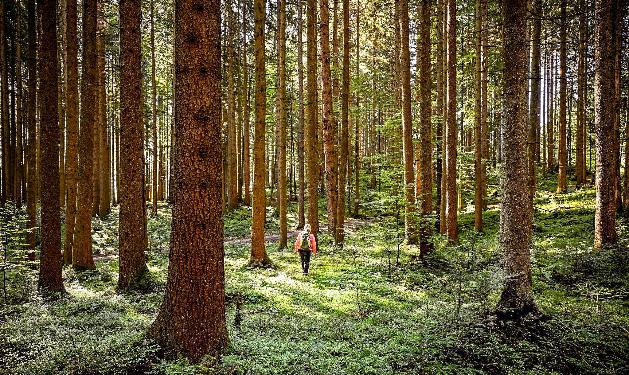
Active relaxation in the forests of Bavaria
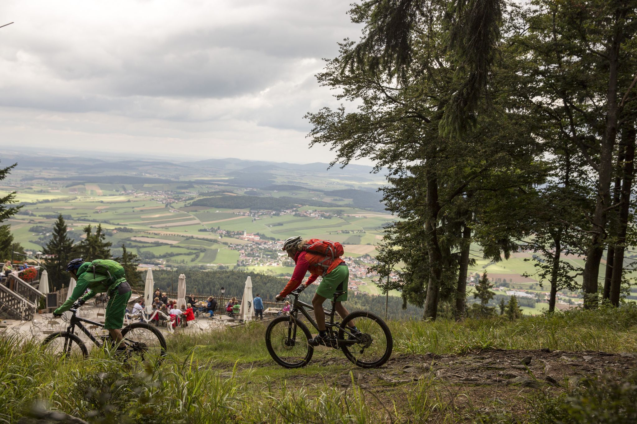
MTB Erlebnis im Naturpark Oberer Bayerischer Wald
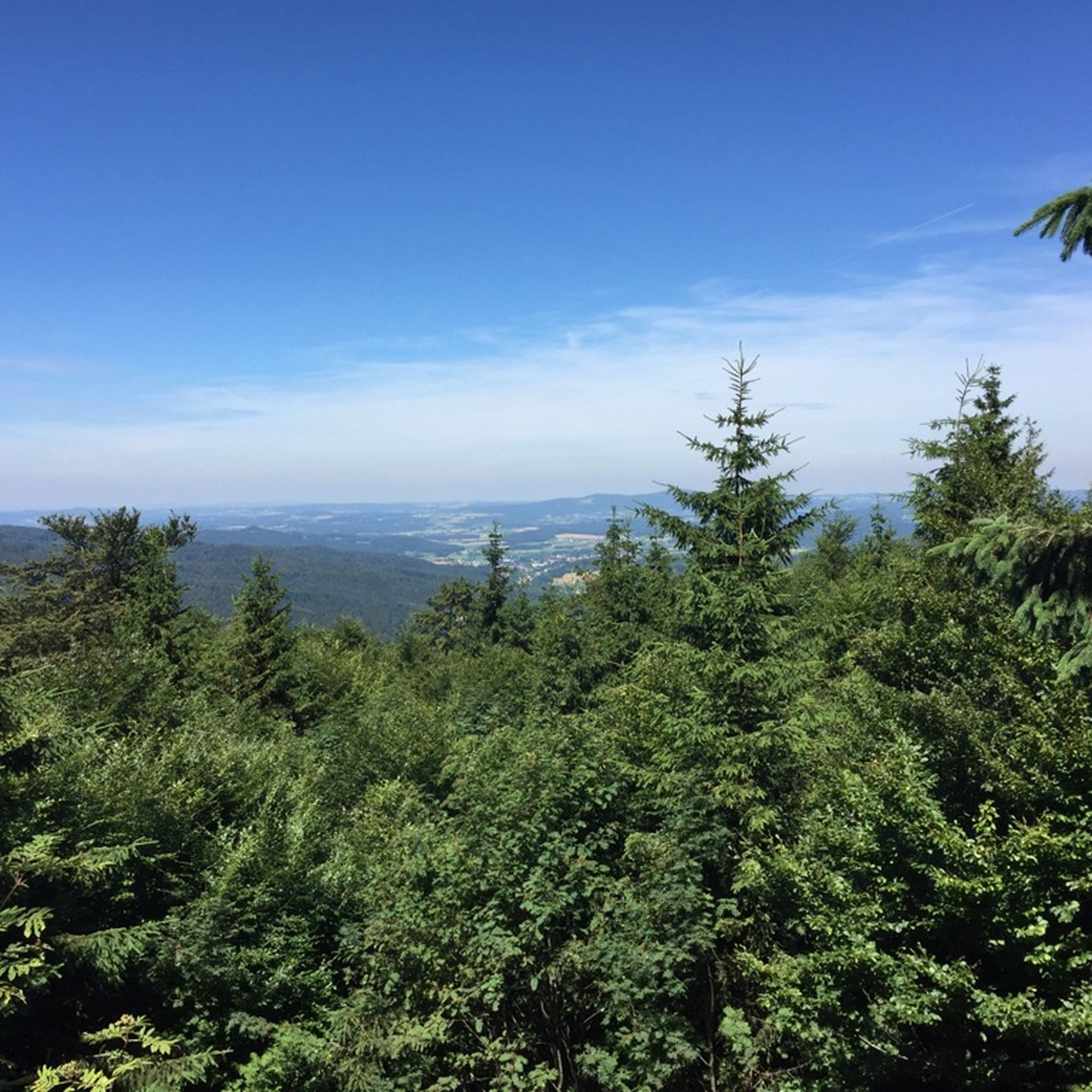
발트뮌헨 하이킹
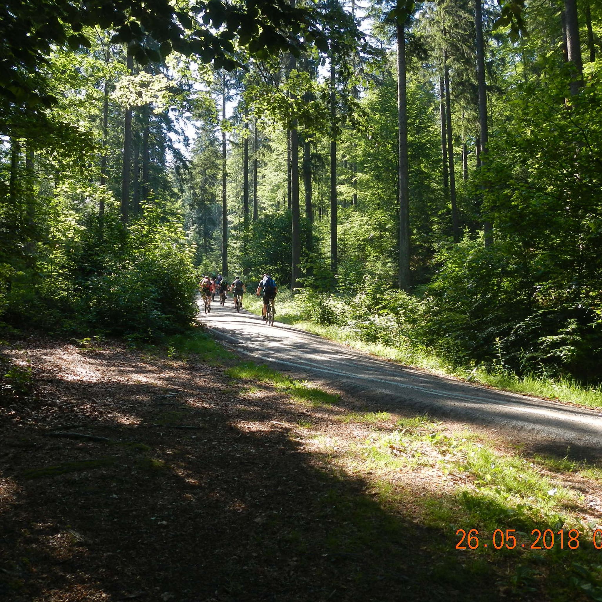
발트뮌헨 MTB 트레일
발트뮌헨 주변의 다른 모험


커뮤니티 팁

Čerchov, whose German name is "Schwarzkopf", is the highest mountain in the Bohemian Forest. There are two towers and a row of barracks on the summit. One tower is an observation tower built in 1904. The other tower, peppered with listening devices, was used as a reconnaissance post by the Soviets and the Stasi until the fall of the Berlin Wall and later by the Czech army until after 1990. For this reason, it was not permitted to climb to the top of the mountain for a long time. The reconnaissance station is part of a chain of similar listening posts along the German border and continues northwards over Velký Zvon (859 metres), Havran (894 metres) and Dyleň (939 metres).
20
1

On the state border between Bavaria and Bohemia At the state border and the shelter hut at the Drei-Wappen-Felsen (901 m) are in the rocks from the left the coats of arms of the Electorate of Bavaria (CB), the Kingdom of Bohemia (KB) and the Duchy of Palatinate (HP) with the year 1766 chiselled and remind of the former demarcation of the border between Bavaria and Bohemia. The basis for this was the border treaty of March 3, 1764, with which the Austrian Empress Maria Theresa (who was also the Bohemian Queen at the time and acted as such) and the Bavarian Elector Max III. Joseph ended the centuries-long disputes about the exact course of the border without bloodshed.
11
0
The Čerchov (German Schwarzkopf) is 1042 m n.m. the highest mountain in the Upper Palatinate Forest (Český les) and the northern peak of the Bohemian Forest. It is about 2 km from the German-Czech border in the Czech Republic, roughly in the middle of a triangle formed by the towns of Waldmünchen, Furth im Wald and Domažlice.
16
1


After being used by the Wehrmacht in World War II, the summit was used intensively as a reconnaissance station until the 1990s and was no longer open to the public. In addition to the Kurz-Turm (named after its builder), which was built in 1904 as an observation tower, a second, larger tower was built by the Czechoslovak army in 1987, which is now used for air traffic control purposes and is not accessible. The corresponding NATO communications station was on the Hoher Bogen about 20 km to the south-east; other reconnaissance posts were u. a. on the Velký Zvon (Plattenberg, with a tower built in 1978 in a very similar way, with visual contact to the Čerchov plant) and the Dyleň. In addition to the Soviet Army, Main Department III of the East German Ministry for State Security also used the position on the Čerchov as a listening post (code name "RUBIN"). In the course of the opening of the border and reunification, the listening posts were given up and the Kurz-Turm has been accessible again since July 2000. The mountain offers a panoramic view of the Bavarian Forest and the Czech plain, in good weather conditions the view extends to the Alps. There is also an amateur radio relay on the mountain. The Domažlice Tourist Club renovated the lookout tower and built an extension to the so-called short tower, which houses a small bistro. Climbing the tower costs €1.
22
2
Nice resting place and nice view from the tower
8
0
The Kreuzfelsen is 938 m above sea level. NHN the highest point in the German part of the Upper Palatinate Forest. On its summit there is a striking rock formation and on top of it a large summit cross on which a figure of Christ is attached.
12
0
Great place, a little harder to get to by bike. A hiking pavilion is available.
9
0
발트뮌헨 주변에서 가장 인기 있는 명소


더 살펴보기
찾고 있는 하이라이트를 아직 못 찾으셨나요? 다른 지역의 주요 명소 가이드를 확인해보세요:
