경로플래너기능업데이트
App
로그인 또는 가입
앱 다운로드
로그인 또는 가입
경로
Places to see
독일
바이에른
상부 팔츠

참

20의 참가지 명소 & 주요 장소


참에는 둘러볼 만한 장소가 많답니다. 하이킹 또는 사이클링을 좋아한다면 참에 숨겨진 20
가지 보석을 만날 수 있을 거예요. 이 지역의 주요 명소를 살펴보면서 다음 모험을 계획해보세요.

마지막 업데이트: 10월 9, 2026

그레이트 오서

하이라이트 • 정상

If someone speaks of the hiking area around the Großer and Kleiner Osser, you often hear the name "Matterhorn of the Bavarian Forest". Although this comparison might also be applied …

번역자 Google •

팁에 의해

하이킹 보기휴대폰으로 전송
저장

쾨츠팅거 산장

하이라이트 • 산장

The Kötztinger Hütte is a true hiking highlight.
In addition to delicious food and drinks, it offers a large terrace that is partly covered.

번역자 Google •

팁에 의해

저장

이런 장소를 발견하려면 지금 가입하세요

최고의 싱글 트랙, 봉우리 및 다양한 흥미로운 야외 장소에 대한 추천을 받아보세요.

무료 회원 가입

Rauchröhren 바위 지형

하이라이트 • 자연 기념물

The smoke tubes are a classic hiking destination that is worth visiting.
Striking rocks that are also used for climbing.

번역자 Google •

팁에 의해

저장

큰 리델슈타인

하이라이트 • 정상

From the highest elevation of the Kaitersberg at 1,132 meters, you have a fantastic panorama to all sides. The peak of the Great Riedelstein is decorated in 1909 for the hometown poet Maximilian Schmidt erected monument.

번역자 Google •

팁에 의해

저장

작은 아르버 호수

하이라이트 • 호수

A beautiful lake 😉. Pure nature. There is a beautiful hiking trail around the lake. Just enjoy!

번역자 Google •

팁에 의해

저장

횔바흐탈 트레일

하이라이트 • 트레일

Sturdy shoes are advisable and surefootedness is required.

번역자 Google •

팁에 의해

저장

헬바흐탈(헬레) 자연보호구역

하이라이트 (구간) • 협곡

회욀레 자연보호구역은 팔켄슈타이너 포어발트 지역의 회욀바흐 계곡 약 600미터 구간과 주변 산림 지역을 포함합니다. 비젠트 강 상류의 이 구간이라 불리는 회욀바흐를 따라 있는 기괴하게 풍화된 화강암석들로 이루어진 블록 해변은 1950년에 …

번역문 보기

팁에 의해

저장

크로스 록

하이라이트 • 정상

The Kreuzfelsen is 999 meters high and part of the elongated Kaitersberg. On the rocky summit is a huge summit cross including summit book. From here you have a very good view of Bad Kötzting and the front Bavarian Forest.

번역자 Google •

팁에 의해

저장
Fantastically located mountain hut right on the national border!
Nice hosts, a wonderful terrace and one or two delicacies 😊 what more could you ask for!

번역자 Google •

팁에 의해

저장

Mittagstein 전몰자 기념 예배당

하이라이트 • 종교적 장소

The site features a chapel with memorial stone and cross for the fallen of the wars. Nice vantage point. View at the Kreuzfelsen but many times better.

번역자 Google •

팁에 의해

저장

무료로 가입하여 참의 더 많은 명소를 발견하세요.

무료 회원 가입

이미 komoot 계정이 있나요?

오늘 무료 계정으로 시작하세요

다음 모험이 기다리고 있어요.

로그인 또는 가입하기

참 주변 인기 장소

Trans Bayerwald – A mountain bike adventure through Bavaria's finest nature

골드슈타이그 - 상팔츠바흐와 파사우 사이의 38개 구간

Goldsteig — The best routes for long distance hiking in Eastern Bavaria
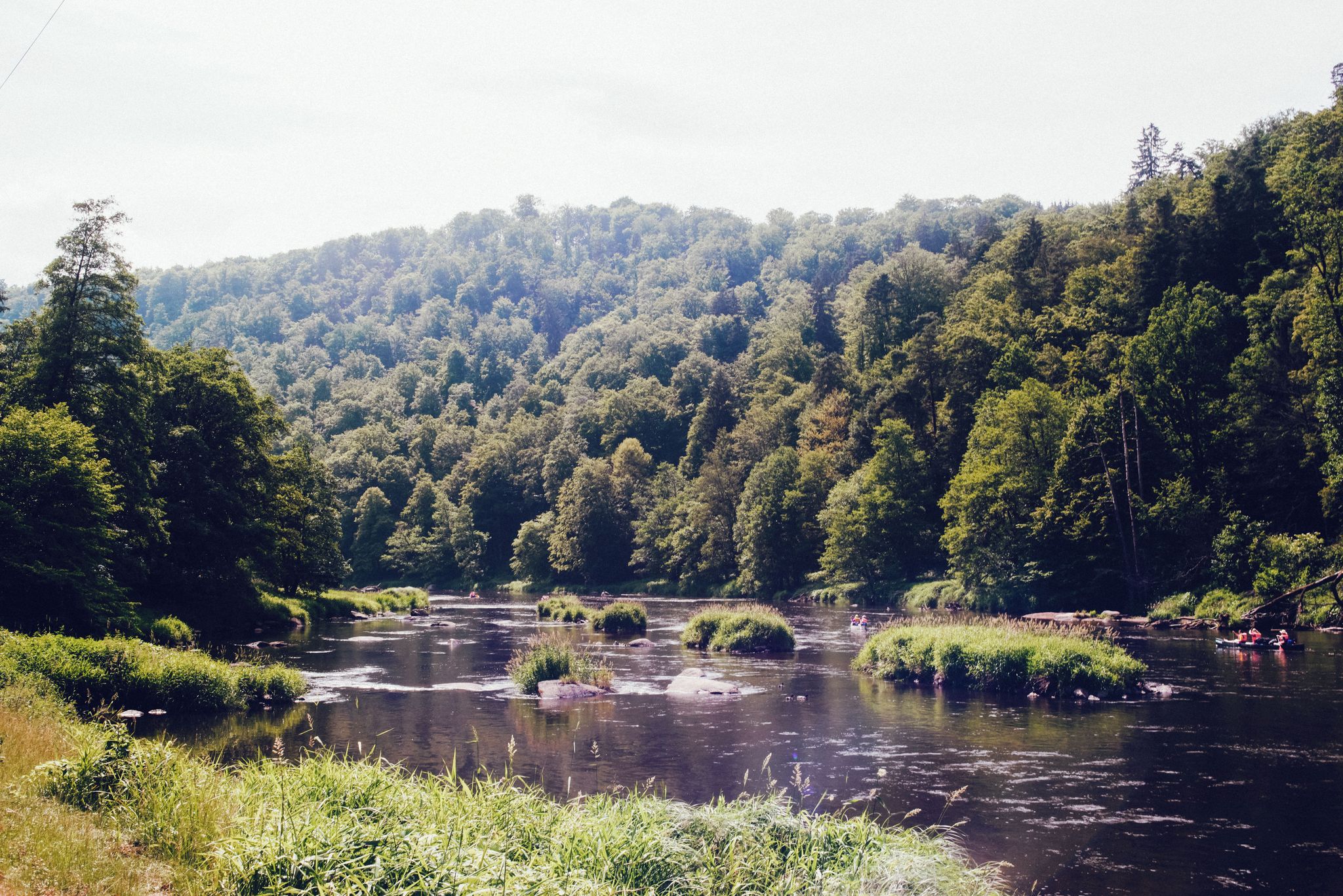
레인 밸리 사이클 패스 — 바바리안 포레스트를 지나는 4일
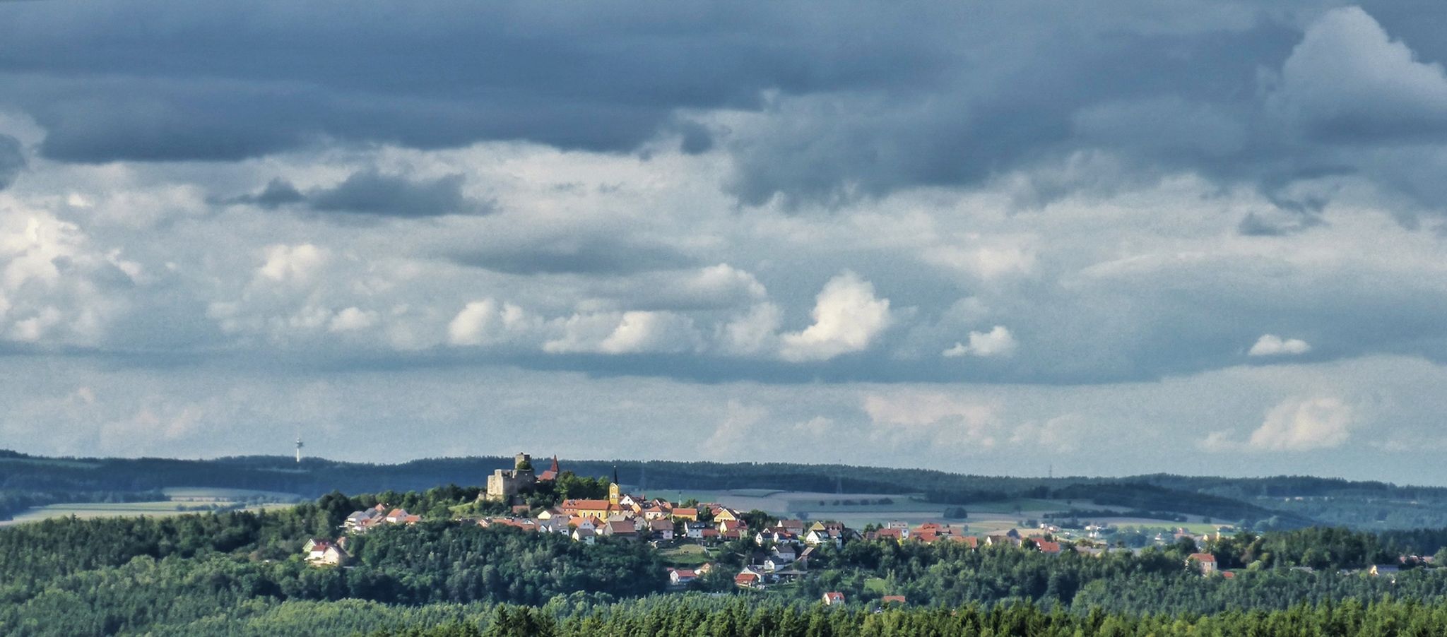
상부 팔라티네이트 성 트레일 — 9일간의 북부 바이에른의 그림 같은 풍경

바이에른의 국가지정 자연 보호 지역
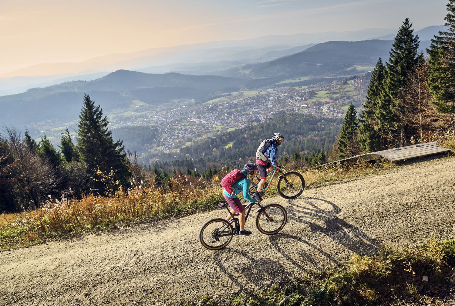
Exciting cycle and (e)-mountain bike Tours in the Bavarian Forest
Hiking tips for the Bavarian Forest
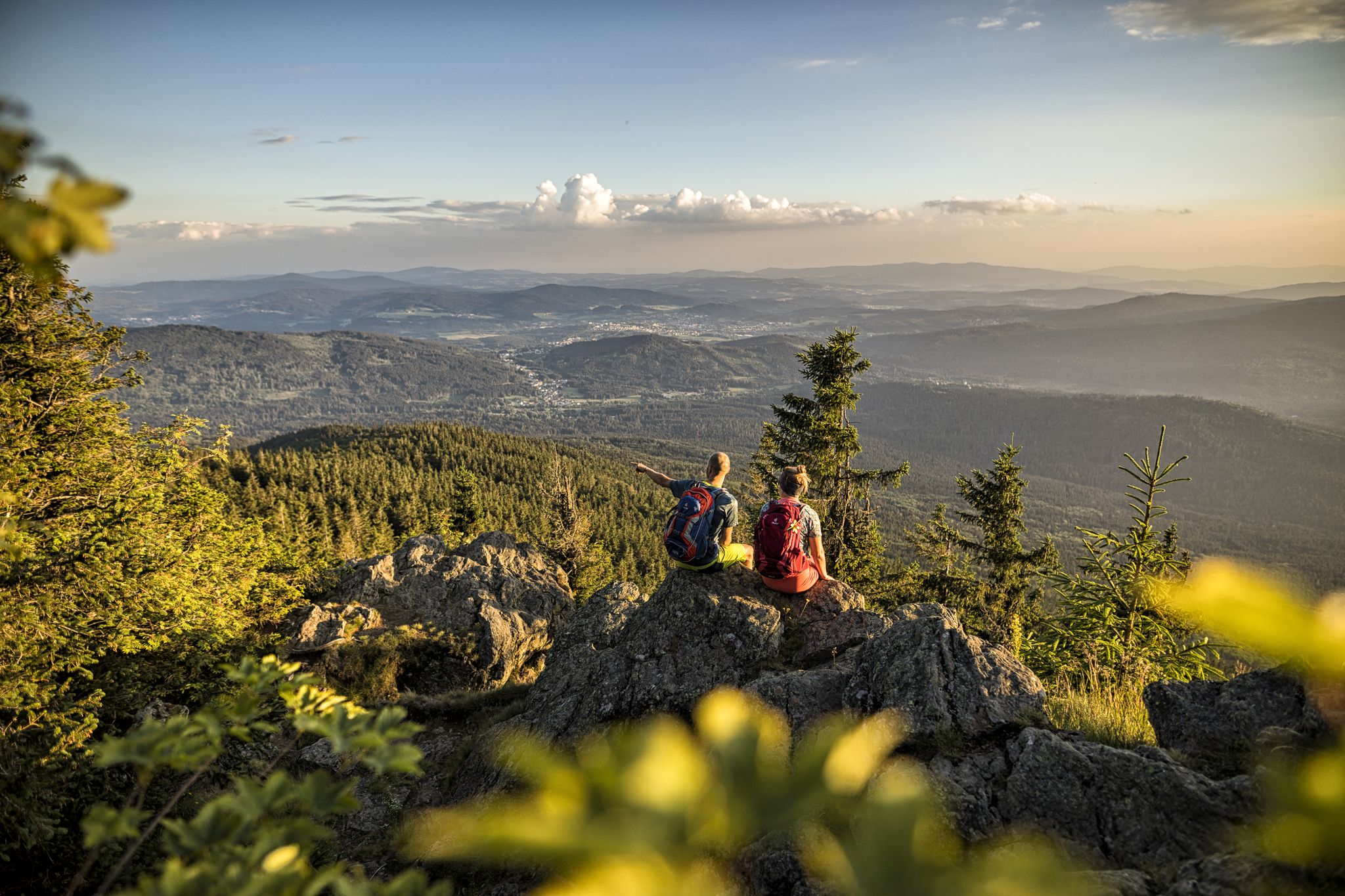
Six wonderful hikes around Bavaria’s Großer Arber
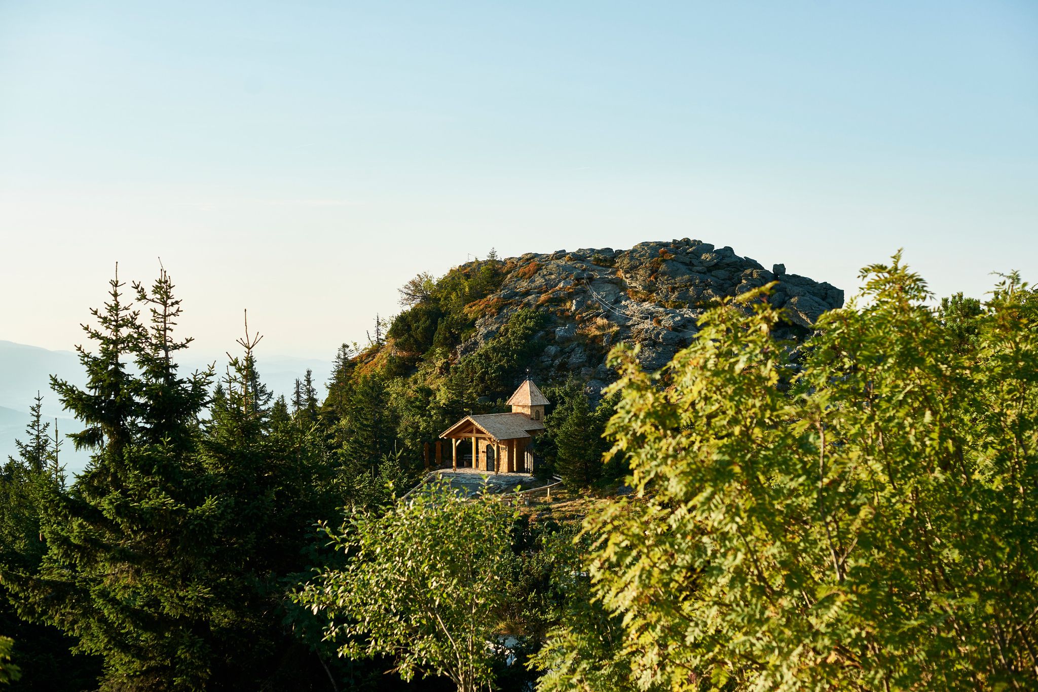
Varied day Tours on the Großer Arber

참의 다른 모험

Trans Bayerwald – A mountain bike adventure through Bavaria's finest nature

산악자전거 라이딩 컬렉션 에 의해

Trans Bayerwald

커뮤니티 팁

Andrea und Huskys 🐺
9월 12, 2026, Höllbachtal (Hölle) Nature Reserve

회욀레 자연보호구역은 팔켄슈타이너 포어발트 지역의 회욀바흐 계곡 약 600미터 구간과 주변 산림 지역을 포함합니다. 비젠트 강 상류의 이 구간이라 불리는 회욀바흐를 따라 있는 기괴하게 풍화된 화강암석들로 이루어진 블록 해변은 1950년에 설립된 자연보호구역의 약 7000제곱미터 면적의 일부입니다. 이곳은 유럽 보호 구역 네트워크 "나투라 2000"의 일부입니다. 그늘지고 여름에도 시원하고 습한 기후 덕분에 수많은 보호 가치가 있는 동식물 종들이 보존되어 있습니다.

번역: Google•

10

0

이곳에서 훈데르트바서의 "회르레" 자연 보호 구역을 통과하는 환상적인 순환 트레킹 코스가 시작되며, 횔바흐를 따라 계곡을 가로질러 긴 구간을 이어갑니다.

번역: Google•

11

0

The beautifully decorated summit cross can be reached after a short climb 🤗. If the weather is good, you have a beautiful view ☺️.

번역: Google•

20

2

It was formerly used for 🪵transport by opening the weir and allowing the water flow down the valley.

번역: Google•

17

0

The Mittagstein is a 1034 m above sea level. NHN high mountain peak rising in the middle of the Kaitersberg in the Bavarian Forest. On the wooded summit there is a chapel commemorating those who died in war, and there is also a lookout rock with a view of the Zellertal and across to the Großer Riedelstein

번역: Google•

11

0

Simple refuge with delicious dishes, which is often very busy! Always worth a stop. From the nearby Osser summit you have a wonderful view. A MUST on every Osser hike!

번역: Google•

8

0

Beautiful valley for hiking, although the section marked here is far too short.

번역: Google•

5

1

Great hiking trail that requires some surefootedness. Especially nice for children as they can climb over rocks and fallen trees.

번역: Google•

6

0

참에서 가장 인기 있는 경로

참 하이킹

참에서 가장 인기 있는 명소

Natural Monuments

Store rating

komoot 모바일 앱으로 영감을 받아보세요

무료 komoot 계정로 끝없는 야외 모험을 손쉽게 찾고, 맞춤 설정하며 길안내할 수 있어요.

또는

지금 komoot에 가입하세요
Store rating

찾고 계신 것을 찾지 못하셨나요?

근처의 멋진 장소를 더 탐험하고 싶으신가요? 우리의 가이드를 살펴보세요:

도주안슈방포징스탐스리드펨플링글라이센베르크윌머링쇤탈푸르트 임 발트Neukirchen Beim Heiligen Blut에슐캄미셸스노이키르헨바펜브룬블라이바흐밀타크샤메라우Großer Neubäuer Weiher호엔와트트레펠슈타인드라첸제팔켄슈타인그라펜비젠잔트티펜바흐특성화실버제달리기로베르그발트뮌헨Regentalaue zwischen Cham und Pösing블라이바허 호수로딩바트 쾨츠팅아라크발더바흐펄시Kleiner Arbersee뢰츠

근처 어드벤처 가이드

윌머링 즐길거리

background

새로운 정복을 위한 준비를 하세요

무료로 가입하기
탐험하기
경로경로 플래너기능바우처 사용하이킹MTB 트레일로드 사이클링 경로바이크패킹사이트맵
앱 다운로드
소셜 미디어에서 팔로우하기

© komoot GmbH

개인 정보 보호 정책