마르크스젤에서 가장 멋진 19개의 산 정상
마르크스젤의 산 정상에 오르면 이 지역의 아름다운 모습을 제대로 구경할 수 있어요. 다만, 19
곳이나 되는 산 정상 중에서 어떤 곳을 가야 할 지 고민된다는 게 문제죠. 마르크스젤에서 가장 멋진 산 정상을 살펴본 후에 마음에 드는 산 정상을 다음 모험 계획에 추가해보세요.
마지막 업데이트: 8월 31, 2026
베른슈타인펠스 정상 및 전망대
하이라이트 • 정상
번역자 Google •
팁에 의해

Teufelsmühle에서 바라본 전망
하이라이트 • 전망대
번역자 Google •
팁에 의해

이런 장소를 발견하려면 지금 가입하세요
최고의 싱글 트랙, 봉우리 및 다양한 흥미로운 야외 장소에 대한 추천을 받아보세요.
무료 회원 가입
Weithäusleplatz 갈림길
하이라이트 • 트레일
번역자 Google •
팁에 의해

호이베르크 – 엔츠크라이스의 최고점 (709m)
하이라이트 • 정상
번역자 Google •
팁에 의해

무료로 가입하여 마르크스젤 주변의 더 많은 봉우리를 발견하세요.
무료 회원 가입
이미 komoot 계정이 있나요?
오늘 무료 계정으로 시작하세요
다음 모험이 기다리고 있어요.
로그인 또는 가입하기
마르크스젤 주변 인기 장소
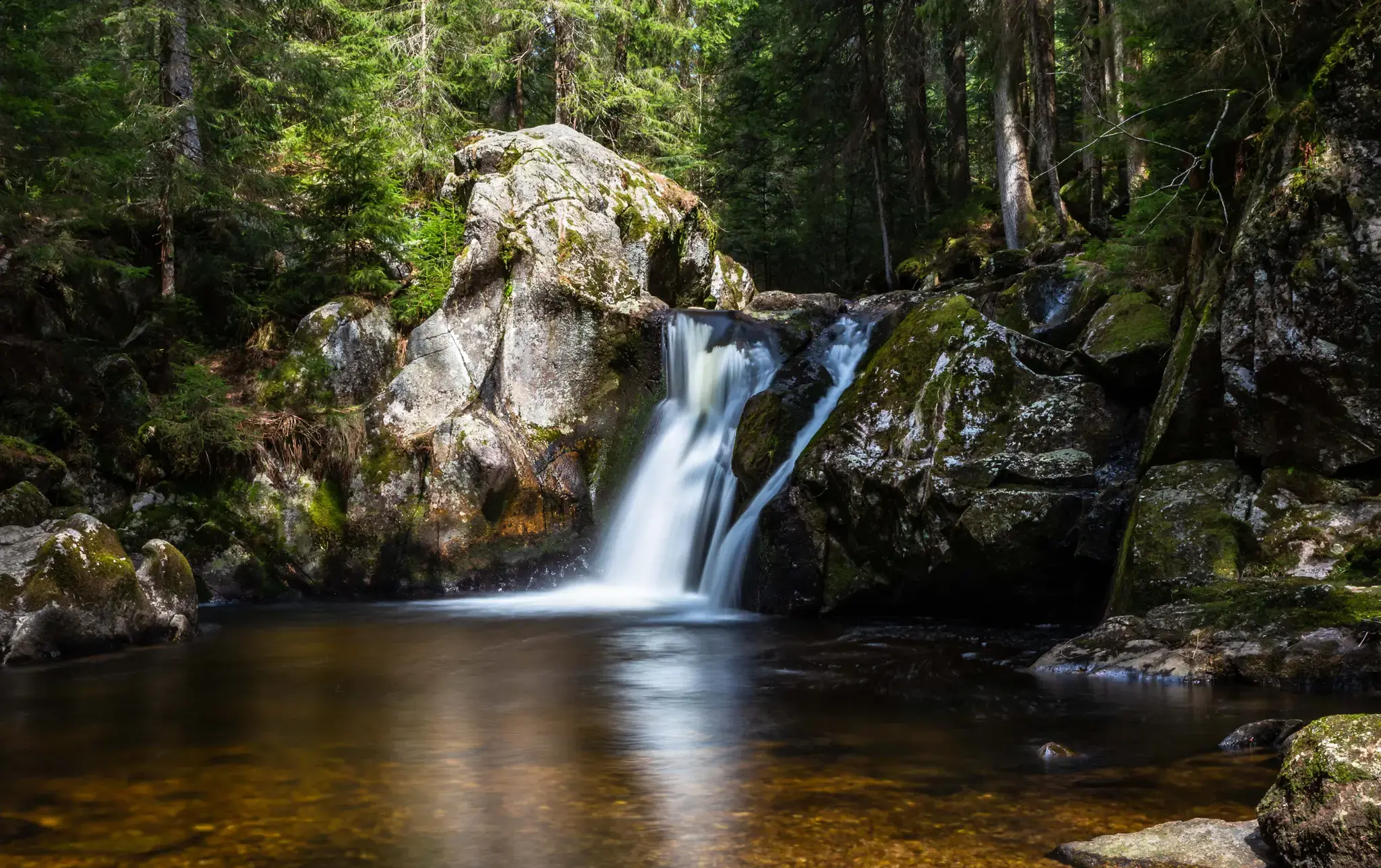
Hiking, ponds & waterfalls – superb Black Forest swimming spots
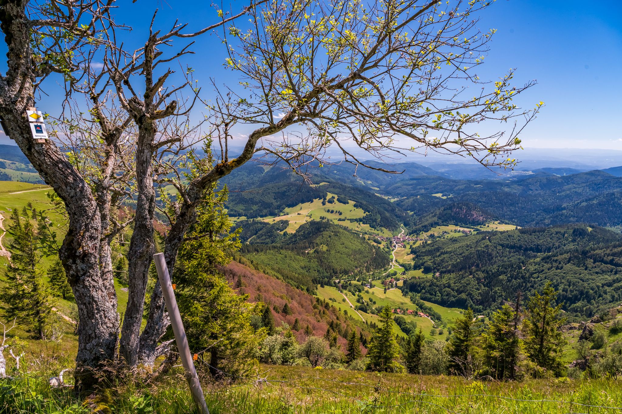
Summer, summits and huts – varied hikes in the Black Forest
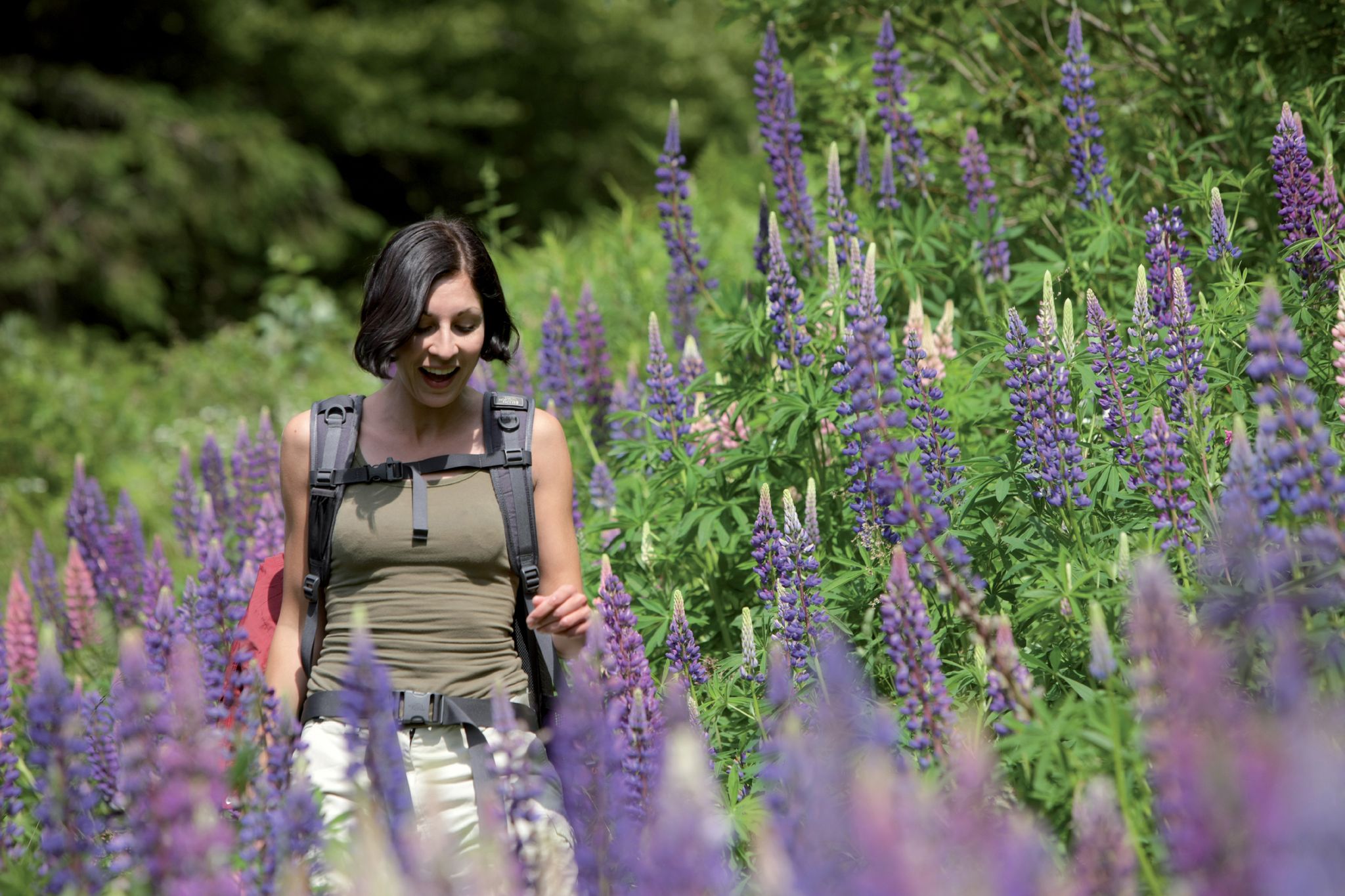
Exploring the Black Forest in Germany – fantastic trails & nature
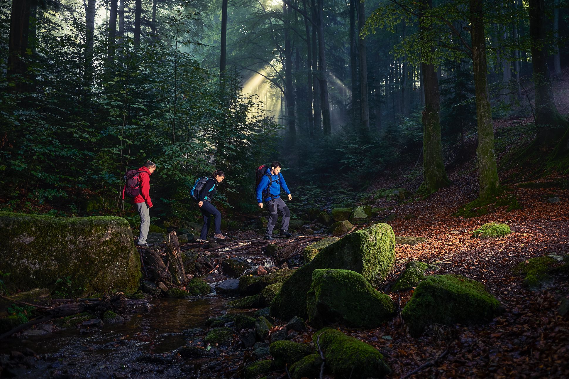
블랙 포레스트를 크로스 하이킹
Zeitzeugen am Wegesrand – auf den Spuren der Kleindenkmale im Landkreis Karlsruhe
마르크스젤 하이킹
마르크스젤 사이클링
마르크스젤 주변 그래블 라이딩
마르크스젤 MTB 트레일
마르크스젤 로드 사이클링 경로
마르크스젤 주변의 다른 모험


커뮤니티 팁

This is not the exact highest point at 709.1 meters, but only the sign. If you follow the path towards Artusstein, you will walk towards the highest point in the Enzkreis.
2
0

Heuberg은 709.1m (NHN 기준)로 Enzkreis에서 가장 높은 지점입니다. 하지만 이 지점은 표지판이 있는 곳이 아니라 숲 속 수백 미터 떨어진 접근하기 어려운 곳에 있습니다.
8
0

Always a highlight, the view over the front Murg valley and further to the mountains on the other side, including Merkur 668m (local mountain of BAD).
6
0

The ascent to the tower was not possible today (Tuesday). Closed
13
1
The panoramic view over the Rhine plain to the Vosges Mountains is absolutely worth seeing.
15
1

In the middle of the 19th century, the Black Forest Association of Württemberg and Baden had built a simple shelter with a fireplace on this site. It burned down in 1909 and a massive lookout tower with accommodation was built in 1910. The lookout tower of the Black Forest Association, also known as the Teufelsmühle, is made of red sandstone and was originally 10 meters high. In 1952 it was increased to 16.20 meters. Source: https://www.schwarzwald-information.de/teufelsmuehle-loffenau.html
14
0

nice place, there are many possibilities for further tour planning
8
1

좋아요, 왜냐하면 그냥 Enzkreis의 가장 높은 지점이기 때문입니다😅. 여기서는 "사실상" 길이 목적지입니다😄!
4
0


더 살펴보기
이 가이드를 통해 마르크스젤 주변의 더 놀라운 정상들을 확인해보세요:
