칼탈스페레 최고의 워킹 & 하이킹 경로
4.6
(32916)
113,890
등산객
1,193
하이킹
칼탈스페레 최고의 하이킹과 워킹을 찾으시나요? 그렇다면 아름다운 아헨 호수 주변에 있는 경로 컬렉션을 아래에서 살펴보세요. 칼탈스페레에 있는 하이킹 트레일 중에서 마음에 드는 곳을 선택해 언제든지 야외 활동을 하면 돼요.
마지막 업데이트: 8월 20, 2026
4.8
(170)
575
등산객
5.77km
01:36
100m
100m
초급용 하이킹. 모든 체력 수준에 적합. 실력과 관계없이 누구나 쉽게 갈 수 있는 길.
4.9
(31)
89
등산객
15.0km
04:09
280m
280m
보통 하이킹. 좋은 체력 필요. 실력과 관계없이 누구나 쉽게 갈 수 있는 길.

무료 회원 가입
4.6
(56)
178
등산객
19.3km
05:26
390m
390m
어려운 하이킹. 우수한 체력 필요. 실력과 관계없이 누구나 쉽게 갈 수 있는 길.
3.5
(2)
27
등산객
5.32km
01:31
100m
100m
보통 하이킹. 모든 체력 수준에 적합. 대부분 갈 수 있는 길. 미끄러지지 않게 조심해야 함.
5.0
(1)
15
등산객
5.83km
01:35
80m
80m
초급용 하이킹. 모든 체력 수준에 적합. 실력과 관계없이 누구나 쉽게 갈 수 있는 길.
더 다양한 경로와 다른 탐험가들의 추천을 살펴보세요.
무료 회원 가입
이미 komoot 계정이 있나요?
투어 추천은 다른 사람들이 komoot에서 완료한 수천 개의 활동을 바탕으로 구성되어 있습니다.
오늘 무료 계정으로 시작하세요
다음 모험이 기다리고 있어요.
로그인 또는 가입하기
커뮤니티 팁

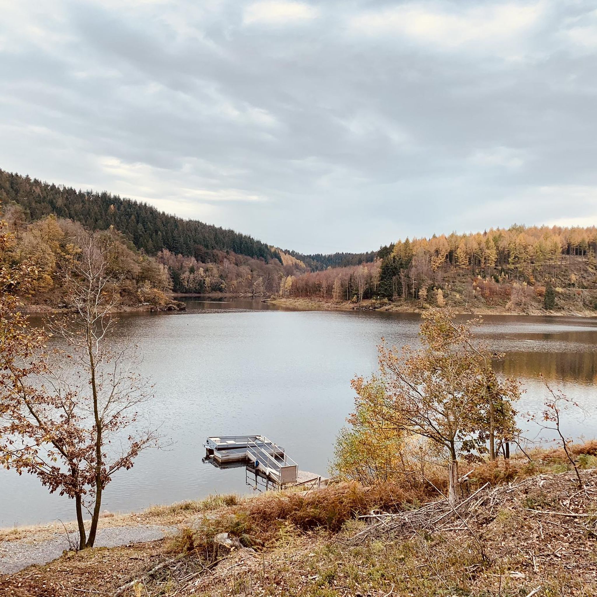
최악의 의미에서 'brand-' 최신 헤드라인과 북부 아이펠(Hürtgenwald)의 파괴적인 화재, 그리고 그로부터 멀지 않은 (벨기에) "Hohes Venn"에 대한 헤드라인을 감안할 때, 그 규모가 지금까지 국경을 넘나드는 지역에서 상상할 수 없는 규모에 이르렀다는 점을 고려하여, 자연에 관심 있는 시청자들에게 ZDF 미디어 라이브러리의 영화 다큐멘터리를 추천합니다: »plan b« 시리즈의 한 에피소드 – "기후 위기 속 산림 보호"라는 제목으로 우리의 고향 숲의 상태에 대한 배경을 조명하고 시급한 질문을 던집니다. 이 기여는 다음에서 온라인으로 이용할 수 있습니다 =>> https://www.zdf.de/play/dokus/plan-b-104/plan-b-waldschutz-in-der-klimakrise-100?staffel=2023
0
0


You'll find the Kaiserfelsen (Emperor's Rock) right near the dam.
2
0

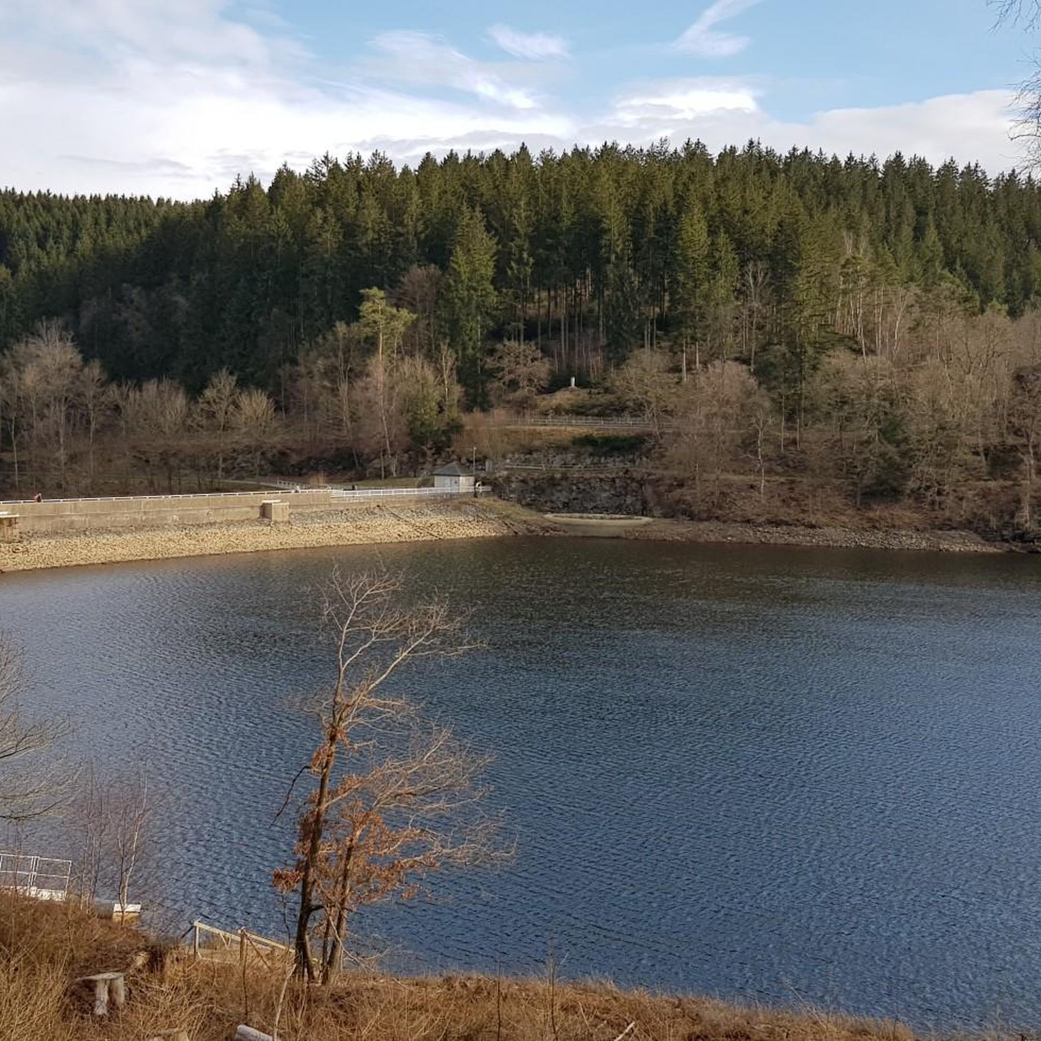
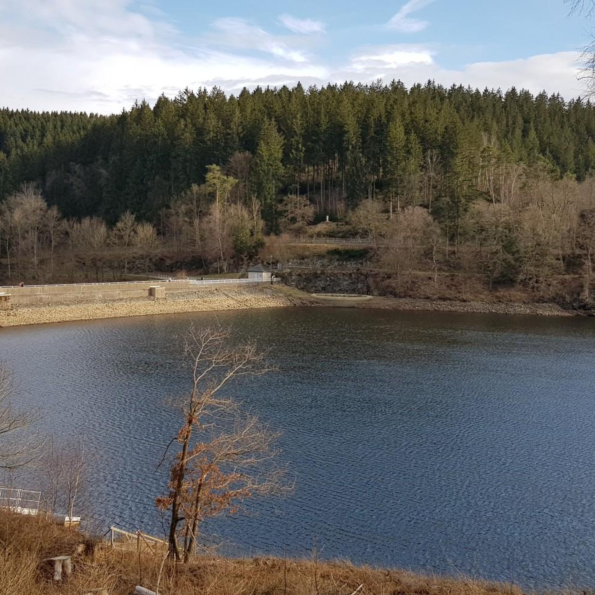
The Urft Dam (Urfttalsperre) is the oldest valley dam in the Eifel region, built around 1900–1905 to regulate the Urft River and supply water for drinking water and power generation. Together with the Urft Lake (Urftstausee), the dam is part of an impressive network of reservoirs in the Eifel National Park, offering fantastic views, especially from a specially located viewing platform on the dam wall. The official Eifel-Blick Urftstaumauer panoramic viewpoint is located directly on the Urft Dam wall. From here, you have a spectacular view of: • 💧 The Urft Lake (Urftstausee), a large artificial lake with a water capacity of up to 45.5 million m³, stretching approximately 12 km. • 🏞️ The dam wall itself is an impressive structure of natural stone and technical hydraulic engineering that was once intended to be the largest dam in Europe. • 🌳 The surrounding nature of the Eifel National Park, the wooded slopes and the plateau around Gemünd, together form a picturesque and wide panorama. • 🏰 The former Ordensburg Vogelsang, a well-known historical site in the distance, is part of the broader Eifel landscape that you can see from this viewpoint. The viewing platform itself once stood on the site of the dam keeper's house (between 1924 and 1926), but it was destroyed during World War II. Today, it offers an open panoramic viewpoint with free access all day long. The view of the Urft Dam spillway from the viewing platform on the Urfttalsperre dam wall is one of the most beautiful panoramas in the Eifel National Park. From here, you can experience the wide view of Lake Urft (Urftstausee), the imposing dam, and the surrounding wooded landscape—a perfect combination of nature, technology, and history in one viewpoint.
0
0


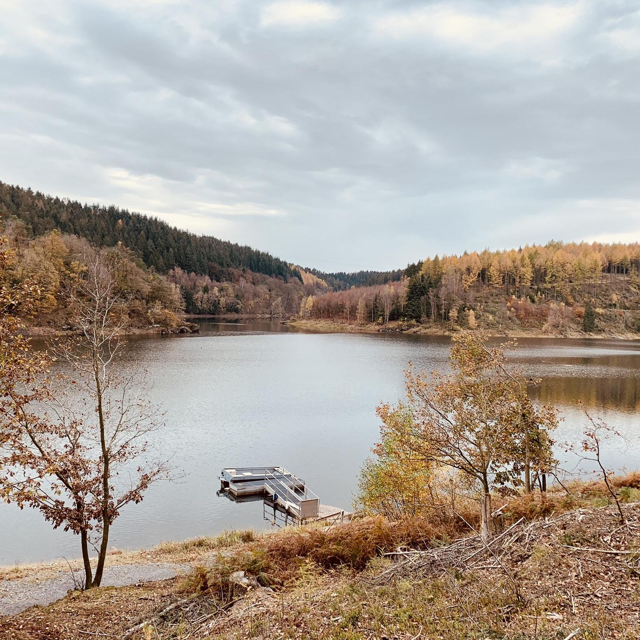
A beautiful vantage point to look into the Kall valley.
1
0
칼탈스페레 주변에서 가장 인기 있는 명소


더 살펴보기
다른 지역의 최고의 하이킹를 살펴보세요.
