노스라인-웨스트팔렌 최고의 워킹 & 하이킹 경로
4.5
(84831)
323,495
등산객
134,473
하이킹
노스라인-웨스트팔렌에서 하이킹하며 독일 구석 부분까지 살펴볼까요? 노스라인-웨스트팔렌에 있는 모든 하이킹 및 워킹 경로 컬렉션 중 가장 멋진 하이킹 경로를 엄선하여 소개해드릴게요. 다른 하이커가 공유한 실제 팁과 사진을 살펴보고 후기를 읽으며 마음에 드는 노스라인-웨스트팔렌 워킹 경로를 찾아보세요.
마지막 업데이트: 9월 15, 2026
4.7
(2345)
7,783
등산객
12.7km
03:41
330m
330m
보통 하이킹. 좋은 체력 필요. 실력과 관계없이 누구나 쉽게 갈 수 있는 길.
4.7
(2123)
6,418
등산객
9.89km
02:46
180m
180m
보통 하이킹. 좋은 체력 필요. 대부분 갈 수 있는 길. 미끄러지지 않게 조심해야 함.

4.8
(1985)
6,153
등산객
27.5km
07:44
520m
520m
어려운 하이킹. 우수한 체력 필요. 튼튼한 신발을 신고 미끄러지지 않게 조심해야 하며, 높은 산을 오른 경험이 있어야 함.
4.8
(2320)
7,291
등산객
10.5km
02:58
210m
210m
어려운 하이킹. 좋은 체력 필요. 튼튼한 신발을 신고 미끄러지지 않게 조심해야 하며, 높은 산을 오른 경험이 있어야 함.
4.8
(2315)
7,297
등산객
10.5km
02:56
210m
210m
보통 하이킹. 좋은 체력 필요. 실력과 관계없이 누구나 쉽게 갈 수 있는 길.
4.8
(1808)
5,225
등산객
10.5km
02:41
30m
30m
보통 하이킹. 좋은 체력 필요. 대부분 갈 수 있는 길. 미끄러지지 않게 조심해야 함.
4.8
(1746)
5,422
등산객
12.1km
03:20
200m
200m
보통 하이킹. 좋은 체력 필요. 실력과 관계없이 누구나 쉽게 갈 수 있는 길.
4.7
(1591)
4,809
등산객
14.7km
04:03
210m
210m
보통 하이킹. 좋은 체력 필요. 대부분 갈 수 있는 길. 미끄러지지 않게 조심해야 함.
4.7
(1585)
4,801
등산객
15.3km
04:15
240m
240m
보통 하이킹. 좋은 체력 필요. 대부분 갈 수 있는 길. 미끄러지지 않게 조심해야 함.
4.7
(1313)
4,492
등산객
10.2km
02:47
150m
160m
보통 하이킹. 좋은 체력 필요. 실력과 관계없이 누구나 쉽게 갈 수 있는 길.
더 다양한 경로와 다른 탐험가들의 추천을 살펴보세요.
이미 komoot 계정이 있나요?
투어 추천은 다른 사람들이 komoot에서 완료한 수천 개의 활동을 바탕으로 구성되어 있습니다.
오늘 무료 계정으로 시작하세요
다음 모험이 기다리고 있어요.

노스라인-웨스트팔렌의 다른 모험


커뮤니티 팁


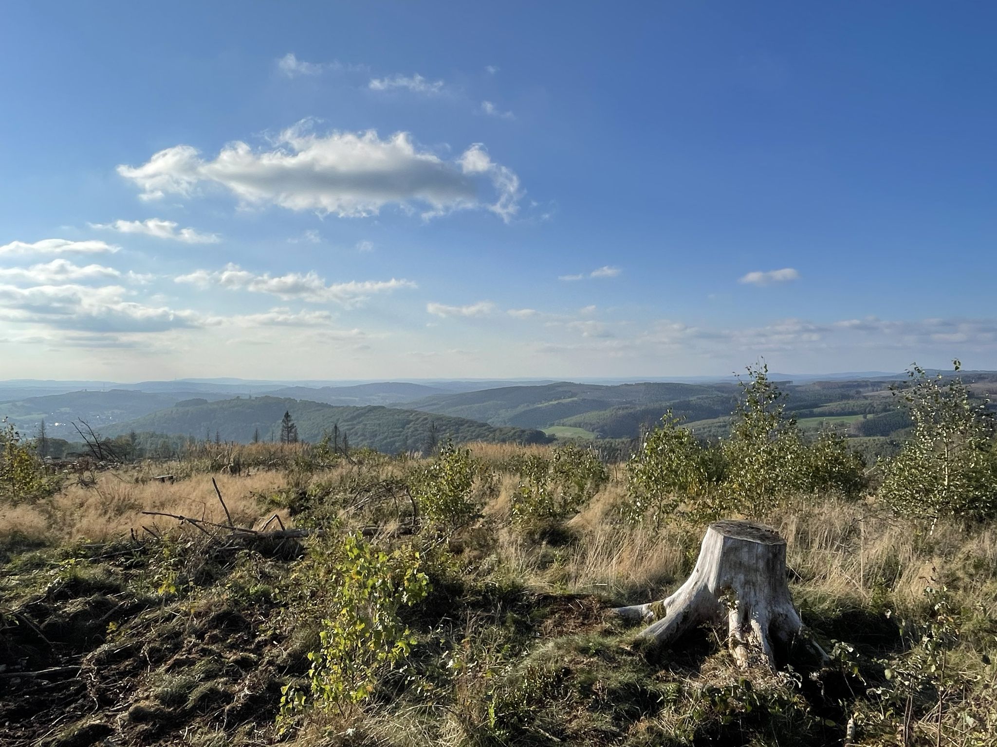
Daverkaul은 넓은 공터입니다. 시간을 내어 조용함을 즐기세요. 경치를 즐기세요. 훌륭합니다.
1
0

A small cabin, a picnic table and some information are available to welcome you in complete peace and quiet.
3
0

Take a break and learn about the protection of the endangered freshwater pearl mussel: This is possible here.
3
0

"But perhaps the time is not yet ripe for it (...) lest one day they bring disaster upon one another and their peoples. And if they should do so nevertheless, may the good Lord in his counsel decree that at least afterwards, when the disaster has already befallen them all, they will find their way back to one another and make peace in this world once and for all." Thus writes Otfried Preußler (born 1923 in Reichenberg, Bohemia), best known as a children's book author, in his work "The Flight to Egypt. Royal Bohemian Part." While his lines are about the German and Czech inhabitants of the Kingdom of Bohemia in the context of the story, his statement is actually universally and timelessly valid.
9
0
"The hiker is immersed in the history of the old castle [Bensberg Castle] during the Franco-Prussian Wars when visiting the French and Prussian-Austrian military cemeteries in the neighboring Hardt Forest," reads the description of this section of the Bergisches Land Trail No. 13, which covers 10 kilometers and also includes the two military cemeteries (though the graves themselves are no longer preserved). For the complete route description, see =>> https://www.bergisches-wanderland.de/bergische-streifzuege/alle-streifzuege/13-bensberger-schlossweg-bergisch-gladbach-101-km
9
0
Already available as a hiking highlight, see https://www.komoot.com/de-de/highlight/776126
9
0

"The Perlenbach Dam impounds the river of the same name - the Perlenbach. The water from the dam is used for drinking water supply and hydroelectric power generation. The need to improve the drinking water supply in the Monschau district became particularly clear in the post-war years. With the cooperation of the District President of Aachen, the project was approved in 1953. The dam was completed and put into operation in 1956. The dam is designed for a storage capacity of 800,000 cubic meters. The dam is constructed as a rockfill dam and is 120 meters long and 18 meters high. The catchment area of the Perlenbach Dam covers 64.4 square kilometers and lies predominantly on Belgian territory. In addition to the Perlenbach, the Hasselbach, the Königsbach, the Römerbach, and the Höfener Bach streams feed the dam." (Dana Pfeiffer and Matthias Wirtz-Amling, LVR Department of Cultural Landscape Management, 2023) https://www.kuladig.de/Objektansicht/KLD-343561
0
0
노스라인-웨스트팔렌에서 가장 인기 있는 경로


더 살펴보기
다른 지역의 최고의 하이킹를 살펴보세요.
