휘르트겐발트 최고의 워킹 & 하이킹 경로
4.5
(11633)
39,346
등산객
399
하이킹
휘르트겐발트 에서 인기 있는 워킹과 하이킹을 찾으시나요? 그렇다면 아름다운 아헨 숲 주변에 있는 경로 컬렉션을 아래에서 살펴보세요. 휘르트겐발트에 있는 하이킹 및 워킹 트레일 중에서 마음에 드는 곳을 선택해 언제든지 야외 활동을 하면 돼요.
마지막 업데이트: 9월 12, 2026
4.7
(2123)
6,418
등산객
9.89km
02:46
180m
180m
보통 하이킹. 좋은 체력 필요. 대부분 갈 수 있는 길. 미끄러지지 않게 조심해야 함.
4.7
(449)
1,387
등산객
9.30km
02:42
250m
250m
보통 하이킹. 좋은 체력 필요. 실력과 관계없이 누구나 쉽게 갈 수 있는 길.

4.6
(354)
1,153
등산객
7.10km
01:59
140m
140m
초급용 하이킹. 모든 체력 수준에 적합. 실력과 관계없이 누구나 쉽게 갈 수 있는 길.
4.6
(302)
992
등산객
6.95km
01:55
120m
120m
초급용 하이킹. 모든 체력 수준에 적합. 실력과 관계없이 누구나 쉽게 갈 수 있는 길.
4.7
(324)
1,028
등산객
7.42km
02:01
100m
100m
보통 하이킹. 좋은 체력 필요. 실력과 관계없이 누구나 쉽게 갈 수 있는 길.
더 다양한 경로와 다른 탐험가들의 추천을 살펴보세요.
이미 komoot 계정이 있나요?
투어 추천은 다른 사람들이 komoot에서 완료한 수천 개의 활동을 바탕으로 구성되어 있습니다.
오늘 무료 계정으로 시작하세요
다음 모험이 기다리고 있어요.
휘르트겐발트 주변 인기 장소
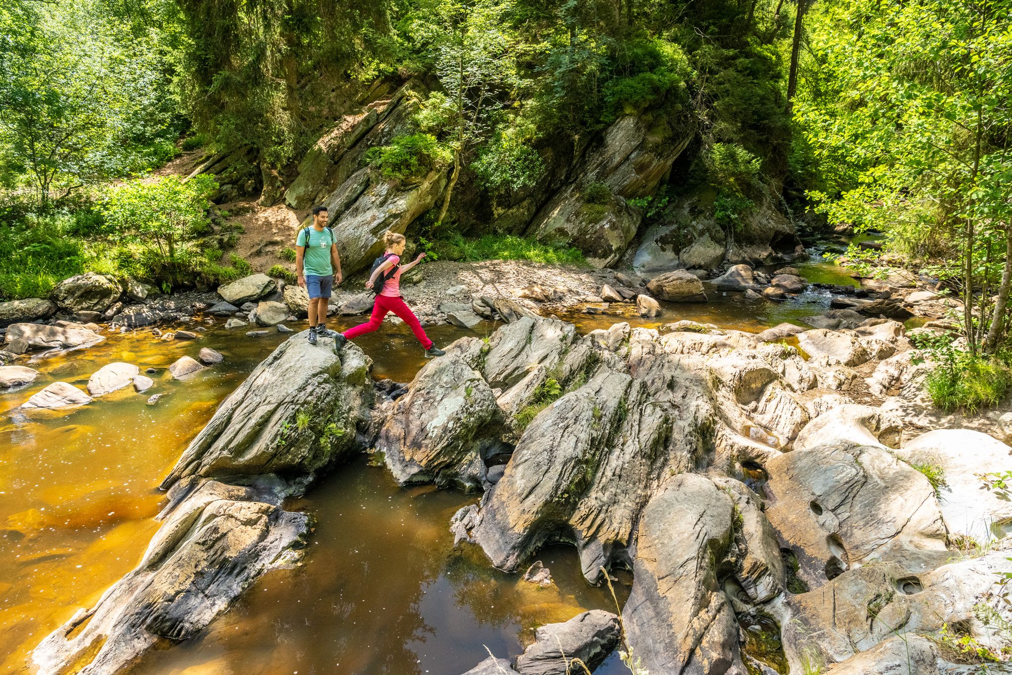
The Eifelsteig's 8 partner trails in Aachen region

Volcanoes, water, forest – the partner trails of the Eifelsteig
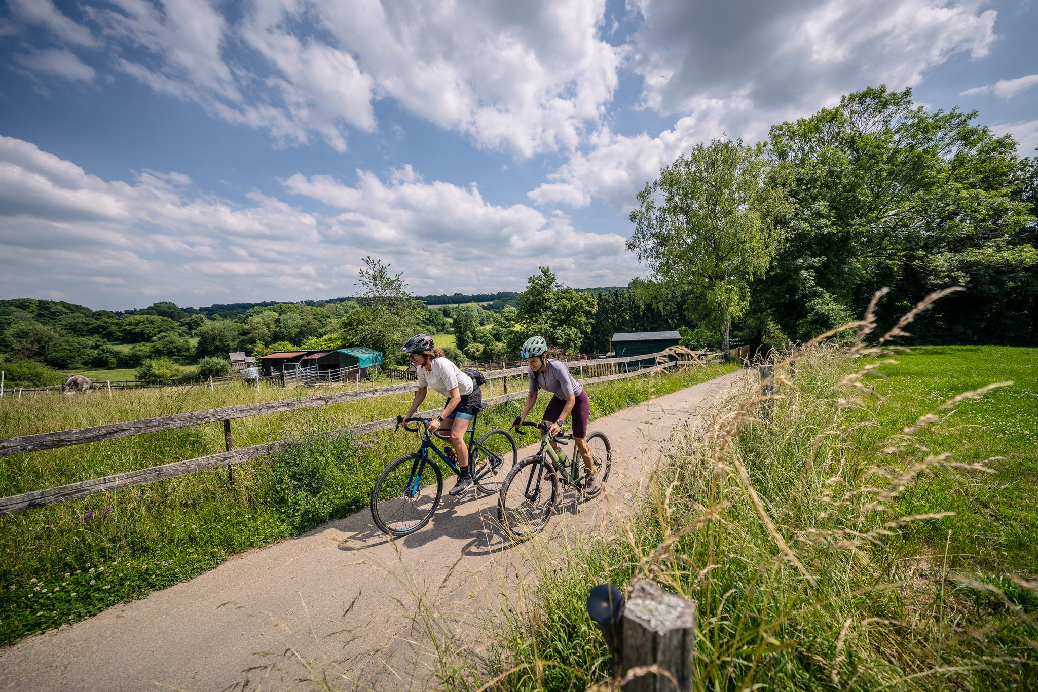
Gravel at its finest – rides around Aachen
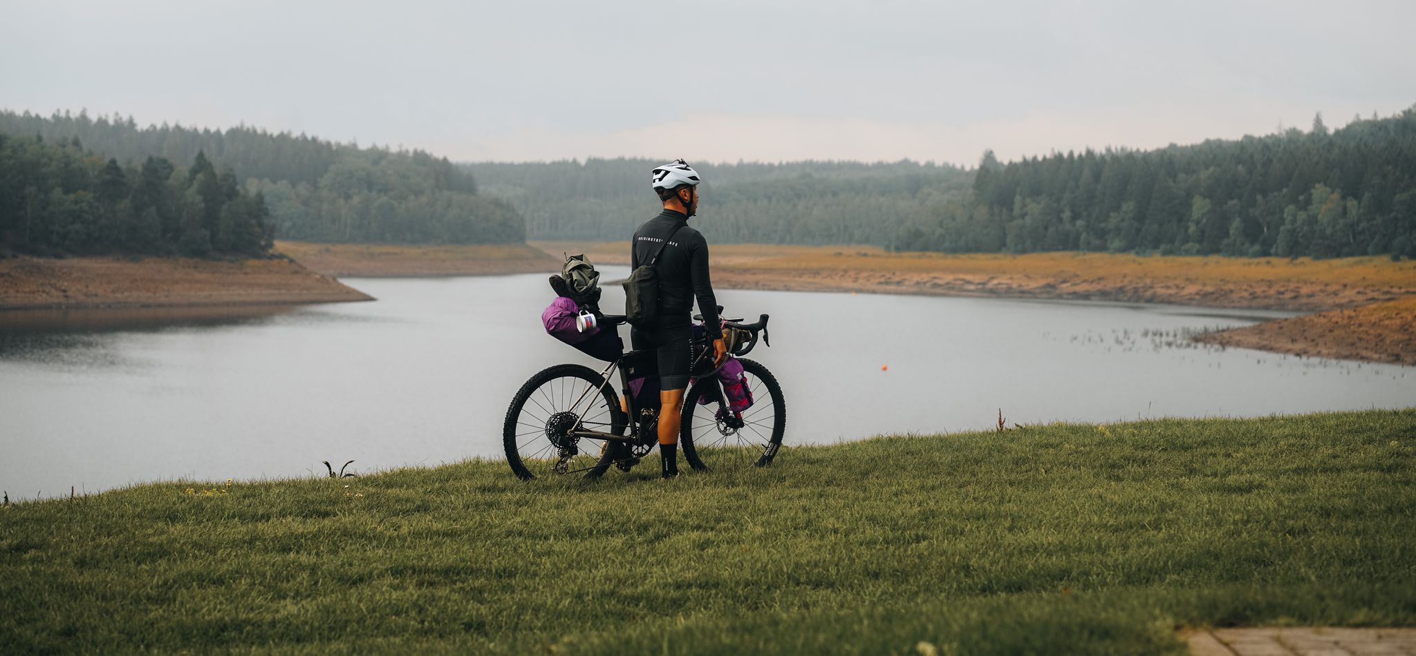
자전거 배낭 여행을 통해 아이펠 지방을 돌아다니기 – 저수지 루프
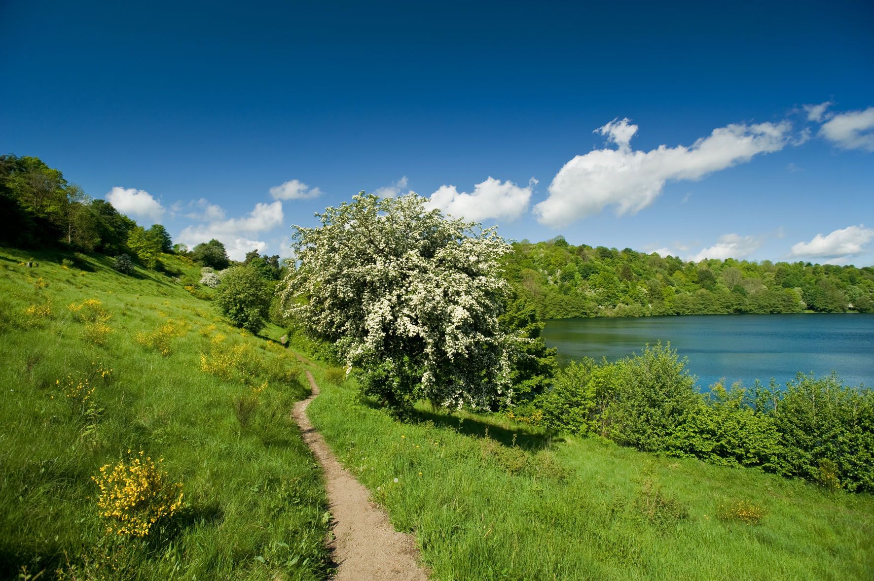
북 아이펠의 긴 트레일 주말
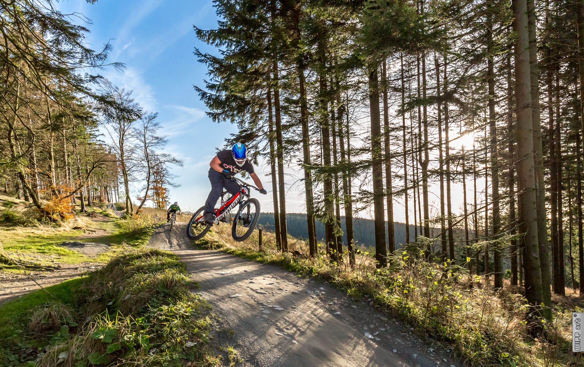
Bike parks in Western Germany
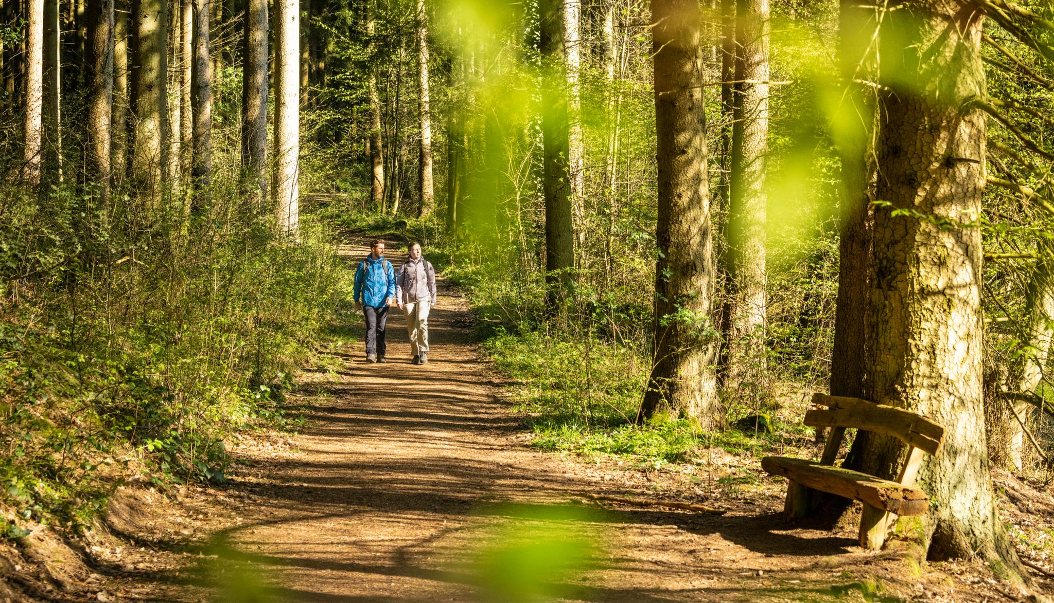
Wasser, Wald, Wildnis – Natur rund um die Kupferstadt Stolberg erleben
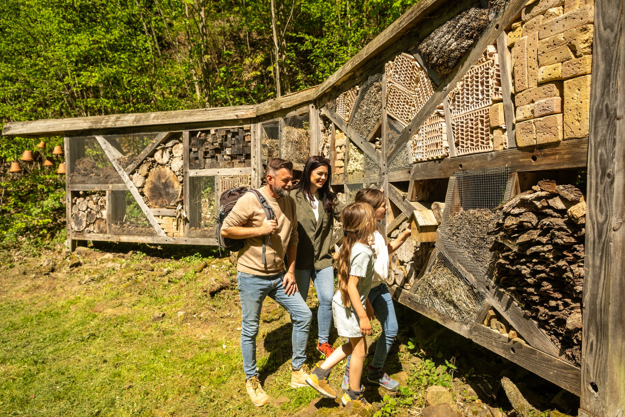
Familienrunden für Wissensdurstige – Kupferstadt Stolberg
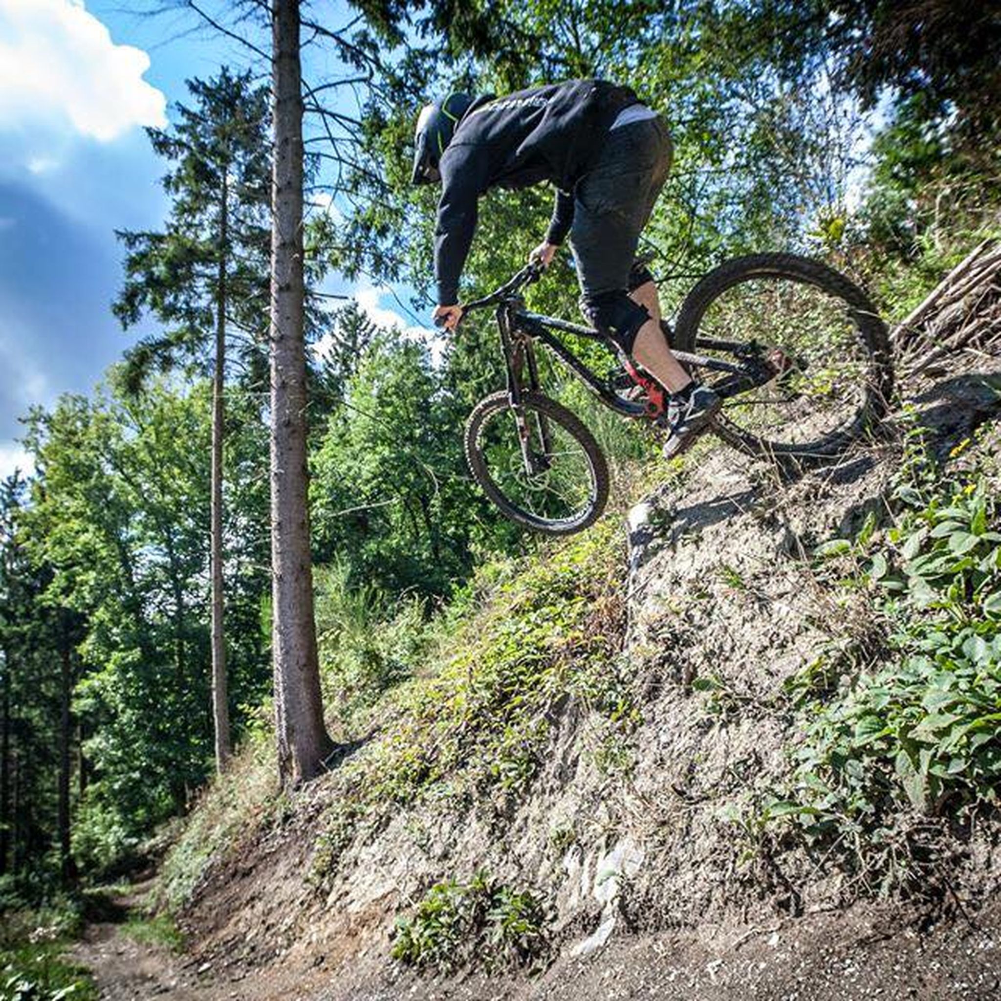
휘르트겐발트 MTB 트레일
휘르트겐발트 러닝 트레일
휘르트겐발트 주변의 다른 모험


커뮤니티 팁

최악의 의미에서 'brand-' 최신 헤드라인과 북부 아이펠(Hürtgenwald)의 파괴적인 화재, 그리고 그로부터 멀지 않은 (벨기에) "Hohes Venn"에 대한 헤드라인을 감안할 때, 그 규모가 지금까지 국경을 넘나드는 지역에서 상상할 수 없는 규모에 이르렀다는 점을 고려하여, 자연에 관심 있는 시청자들에게 ZDF 미디어 라이브러리의 영화 다큐멘터리를 추천합니다: »plan b« 시리즈의 한 에피소드 – "기후 위기 속 산림 보호"라는 제목으로 우리의 고향 숲의 상태에 대한 배경을 조명하고 시급한 질문을 던집니다. 이 기여는 다음에서 온라인으로 이용할 수 있습니다 =>> https://www.zdf.de/play/dokus/plan-b-104/plan-b-waldschutz-in-der-klimakrise-100?staffel=2023
0
0
한편으로는 (최악의 의미에서 '브랜드'가 된) 숲 화재에 대한 최신 헤드라인과 다른 한편으로는 독일과 벨기에에서 지금까지 상상할 수 없는 규모에 도달한 인근 호헨 펜(BE)에 직면하여 ARD 미디어 라이브러리에서 영화 다큐멘터리를 추천합니다. 이 다큐멘터리는 배경을 조명하고 흥미로운 질문을 던집니다. '산불 이후에는 무엇이 올까요?' 관심이 있으시면 =>> https://www.ardmediathek.de/video/auf-spurensuche-oder-ard-wissen/was-kommt-nach-dem-waldbrand/mdr/Y3JpZDovL21kci5kZS9iZWl0cmFnL2Ntcy8yNTU5M2JlZC03MzIwLTRmZmEtYjYzMy1hNmNmMjg5OTJkNzU 를 참조하십시오.
0
0


The Kall Valley (Kalltal in German) is the river valley of the Kall River, a tributary of the Rur River. It originates near Konzen (located near Monschau) and flows into the Rur River at Zerkall after approximately 26 kilometers. This valley forms a characteristic landscape in the Eifel region, with a variety of stream valleys, forests, flower-filled meadows, and traditional Eifel villages. Due to the geological development of the region, the river and its tributaries have created an incised valley shape in the Rheinisches Schiefergebirge (Rhenish Slate Mountains), consisting of ancient Lower Devonian rocks and other sedimentary layers, resulting in a diverse and geologically interesting terrain. Ecologically and biologically, the Kall Valley is valuable because it harbors a network of alluvial (river and flood) habitats that are essential for numerous plant and animal species. Originally, the valley consisted primarily of wet alluvial forests with native trees such as birch, alder, ash, and hornbeam, but due to past human exploitation and agriculture, these woodlands had largely disappeared. Recent conservation and restoration efforts focus on reintroducing riverine nature, including restoring river courses, removing artificial obstacles, and re-developing wet meadows and wet forests to allow original natural processes to resume. These restoration projects are creating a rich diversity of habitats along the banks of the Kall, ranging from marshy grasslands and wet meadows to alder swamp forests and flower-rich grasslands. This variety supports considerable biodiversity: plants such as broad-leaved orchids, marsh loosestrife, and other water-loving species thrive in the wetlands, while amphibians, butterflies, dragonflies, and songbirds breed and forage along the river's margins. In addition, beavers, kingfishers, and rare bat species can be observed in the more natural parts of the valley. The valley also offers recreational and educational opportunities for visitors to the Eifel, and several hiking and cycling routes run along the Kall, such as the Kalltalweg and the Kall Trail, which lead you through the valley, past alder galleries, open meadows, and through villages like Zerkall and Vossenack. Along these paths, you'll see views of old mills and traces of historical activities such as water management, allowing you to experience not only nature but also the cultural and historical background of the Eifel landscape.
0
0
The Urft Dam (Urfttalsperre) is the oldest valley dam in the Eifel region, built around 1900–1905 to regulate the Urft River and supply water for drinking water and power generation. Together with the Urft Lake (Urftstausee), the dam is part of an impressive network of reservoirs in the Eifel National Park, offering fantastic views, especially from a specially located viewing platform on the dam wall. The official Eifel-Blick Urftstaumauer panoramic viewpoint is located directly on the Urft Dam wall. From here, you have a spectacular view of: • 💧 The Urft Lake (Urftstausee), a large artificial lake with a water capacity of up to 45.5 million m³, stretching approximately 12 km. • 🏞️ The dam wall itself is an impressive structure of natural stone and technical hydraulic engineering that was once intended to be the largest dam in Europe. • 🌳 The surrounding nature of the Eifel National Park, the wooded slopes and the plateau around Gemünd, together form a picturesque and wide panorama. • 🏰 The former Ordensburg Vogelsang, a well-known historical site in the distance, is part of the broader Eifel landscape that you can see from this viewpoint. The viewing platform itself once stood on the site of the dam keeper's house (between 1924 and 1926), but it was destroyed during World War II. Today, it offers an open panoramic viewpoint with free access all day long. The view of the Urft Dam spillway from the viewing platform on the Urfttalsperre dam wall is one of the most beautiful panoramas in the Eifel National Park. From here, you can experience the wide view of Lake Urft (Urftstausee), the imposing dam, and the surrounding wooded landscape—a perfect combination of nature, technology, and history in one viewpoint.
0
0

휘르트겐발트 주변에서 가장 인기 있는 명소


더 살펴보기
다른 지역의 최고의 하이킹를 살펴보세요.
