칼탈스페레 최고의 사이클링 경로
4.5
(7998)
41,840
자전거 타는 사람
426
라이딩
칼탈스페레에 자전거 라이딩을 할 수 있는 경로는 많은데, 어디서 출발해야 할지 모르시겠다고요? 아름다운 호수를 구경할 수 있도록 가장 멋진 경로를 알려드릴게요. 망설이지 말고, 마음에 드는 칼탈스페레 사이클링 경로를 아래에서 찾아보세요.
마지막 업데이트: 8월 20, 2026
4.6
(30)
74
자전거 타는 사람
12.5km
00:53
190m
190m
보통 자전거 타기. 좋은 체력 필요. 대부분 포장된 지면. 실력과 관계없이 누구나 갈 수 있음.
4.9
(8)
32
자전거 타는 사람
73.7km
04:44
820m
820m
어려운 자전거 타기. 우수한 체력 필요. 투어 중 자전거를 끌고 가야 하는 구간이 있을 수 있음.

무료 회원 가입
4.9
(14)
16
자전거 타는 사람
28.8km
01:51
280m
280m
보통 자전거 타기. 좋은 체력 필요. 대부분 포장된 지면. 실력과 관계없이 누구나 갈 수 있음.
5.0
(2)
18
자전거 타는 사람
17.2km
01:26
280m
280m
보통 자전거 타기. 좋은 체력 필요. 대부분 포장된 지면. 실력과 관계없이 누구나 갈 수 있음.
3.0
(1)
7
자전거 타는 사람
15.5km
00:56
120m
120m
초급용 자전거 라이딩. 모든 체력 수준에 적합. 대부분 포장된 지면. 실력과 관계없이 누구나 갈 수 있음.
더 다양한 경로와 다른 탐험가들의 추천을 살펴보세요.
무료 회원 가입
이미 komoot 계정이 있나요?
투어 추천은 다른 사람들이 komoot에서 완료한 수천 개의 활동을 바탕으로 구성되어 있습니다.
오늘 무료 계정으로 시작하세요
다음 모험이 기다리고 있어요.
로그인 또는 가입하기
커뮤니티 팁


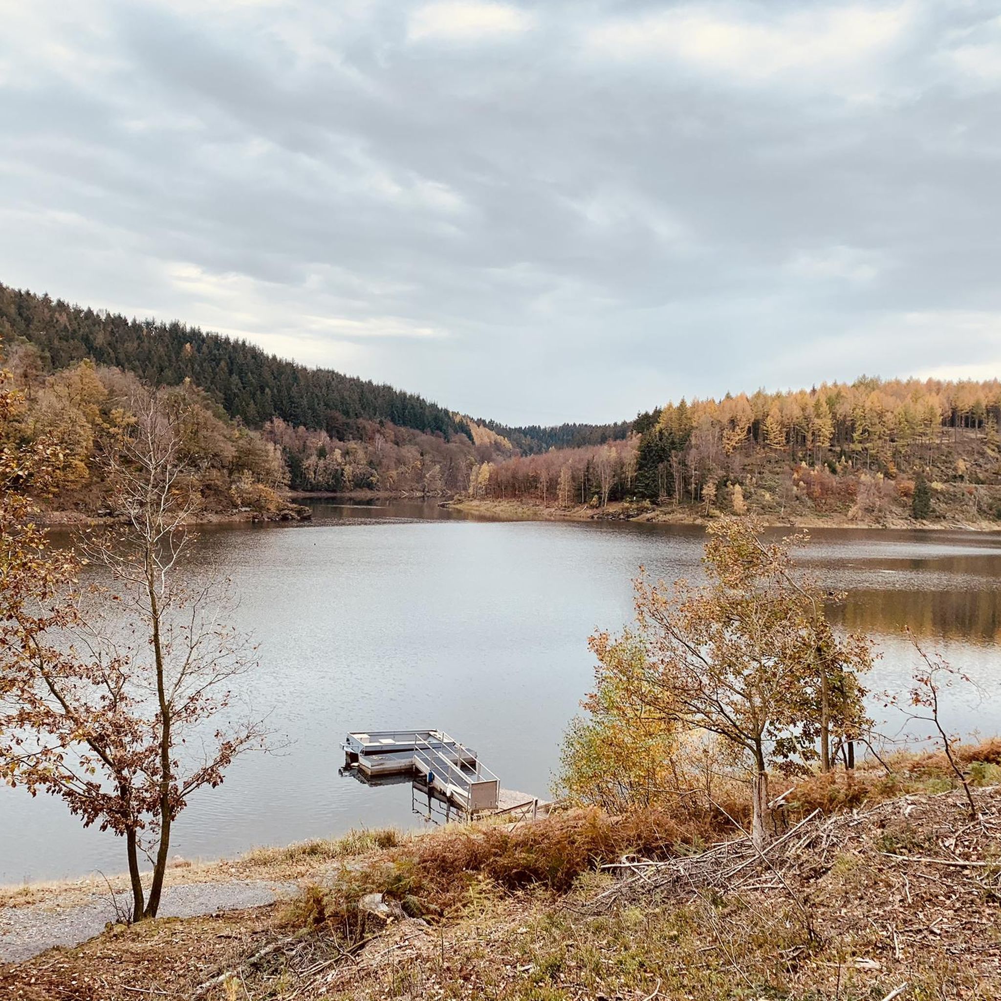
You'll find the Kaiserfelsen (Emperor's Rock) right near the dam.
2
0

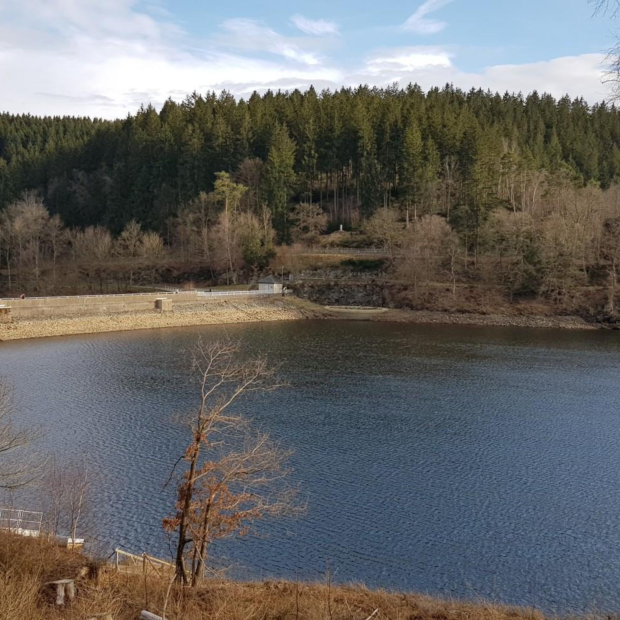
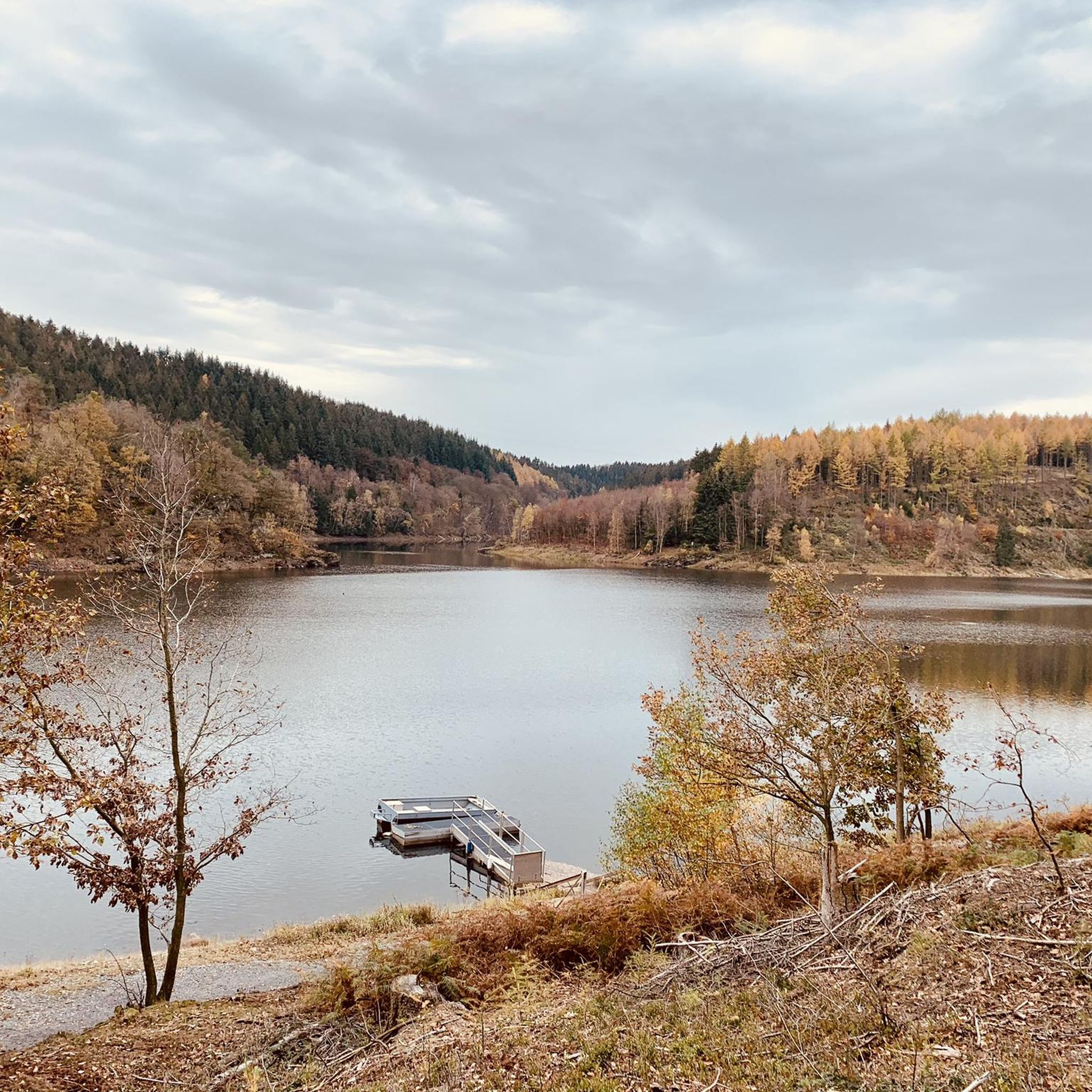
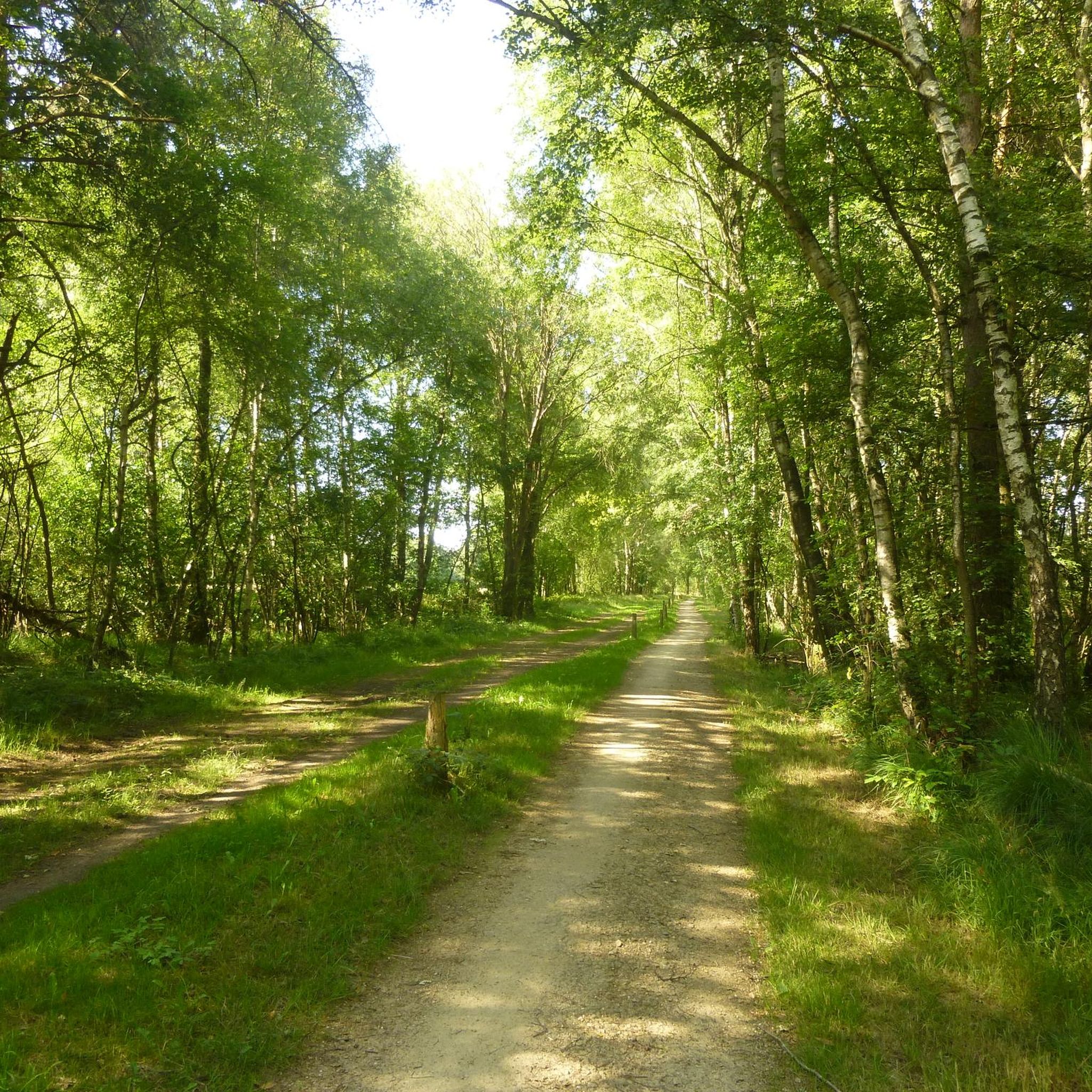
The Kalltalsperre circular walk takes you around the still waters of the Kalltal Dam (Kalltalsperre), an artificial dam in the Kall Valley near Simmerath in the Aachen region of Germany. The dam itself was built in the 1930s to store the water of the Kall River and now serves as a drinking water reservoir for the surrounding municipalities. Therefore, swimming and water sports are not permitted here. However, for hikers, the area is ideal for a relaxing walk in nature, with a beautiful combination of water, forests, and rolling terrain. The walk around the Kalltalsperre can be accessed from several starting points, but one of the most popular access points is the Kallbrück Wanderparkplatz near Rollesbroich. From there, you follow well-marked paths that lead you first along the shore of the reservoir and then through the surrounding forests and fields. At approximately 6.5 to 7 kilometers in length, this is a moderately long circular walk of about one and a half to two hours, suitable for most recreational hikers. The trails are generally well-maintained, with slight elevation changes and occasional sections of woodland or natural terrain, but without any extreme climbs. What makes this circular walk so appealing is the varied landscape. First, you overlook the calm waters of the reservoir, which, in good weather, are beautifully reflected in the sun. Then, the paths lead you through wooded terrain, surrounded by tall trees, birds, and the sounds of nature. Occasionally, glimpses open onto the valley or the wide riverbed of the Kall River, completing the picture. Because the area is relatively quiet and not as crowded as some other tourist destinations in the Eifel region, you'll experience a sense of tranquility and space typical of the Eifel landscape during the loop around the dam. A pleasant variation on the short circular walk is a slightly longer route that starts in Simmerath and runs past the Lönsfelsen rocks and the ravine forest of the Kall Valley, eventually returning around the dam. This hike is approximately 13.5 kilometers long and combines the same water features with additional forest trails, gorges, and viewpoints, making it an excellent day hike for those who want a little more than just the direct loop. The route's style encourages a leisurely pace, allowing you to stop and enjoy the view of the dam and the Kall River flowing through the valley, as well as the variety of open meadows and woodland. This is an attractive hike year-round, with the greenery providing a lush experience in spring and summer, while in autumn the forests turn orange and gold. Even in winter, the landscape remains serene and peaceful, though the paths can be a little wetter.
0
0

This stainless steel cross has been commemorating Rollesbroich's pilgrimage tradition to Heimbach since 2016. People have been making pilgrimages to the image of grace since the end of the 15th century. Source: https://www.aachener-zeitung.de/lokales/region-aachen/simmerath/die-kreuze-der-eifel-auf-dem-weg-zur-schmerzensmadonna/77836902.html
2
0
칼탈스페레 주변에서 가장 인기 있는 명소


더 살펴보기
다른 지역의 최고의 자전거 경로를 살펴보세요.
