칼탈스페레 최고의 MTB 라이딩 경로
4.6
(3067)
9,644
자전거 타는 사람
329
라이딩
칼탈스페레 최고의 산악자전거 라이딩을 찾으시나요? 그렇다면 아름다운 아헨 호수 주변의 MTB 라이딩 컬렉션을 아래에서 살펴본 후, 칼탈스페레의 여러 가지 모습을 직접 만나보세요.
마지막 업데이트: 8월 20, 2026
4.0
(15)
41
자전거 타는 사람
28.2km
02:03
360m
350m
보통 산악 자전거 타기. 좋은 체력 필요. 뛰어난 라이딩 실력이 필요함.
5.0
(1)
3
자전거 타는 사람
24.3km
01:56
450m
450m
어려운 산악 자전거 타기. 좋은 체력 필요. 뛰어난 라이딩 실력이 필요함. 투어 중 자전거를 끌고 가야 하는 구간이 있을 수 있음.

무료 회원 가입
3
자전거 타는 사람
30.7km
01:57
340m
340m
어려운 산악 자전거 타기. 좋은 체력 필요. 뛰어난 라이딩 실력이 필요함. 투어 중 자전거를 끌고 가야 하는 구간이 있을 수 있음.
4.7
(51)
222
자전거 타는 사람
39.8km
03:49
1,050m
1,050m
어려운 산악 자전거 타기. 우수한 체력 필요. 뛰어난 라이딩 실력이 필요함. 투어 중 자전거를 끌고 가야 하는 구간이 있을 수 있음.
4.8
(19)
67
자전거 타는 사람
41.8km
03:16
690m
690m
어려운 산악 자전거 타기. 좋은 체력 필요. 뛰어난 라이딩 실력이 필요함. 투어 중 자전거를 끌고 가야 하는 구간이 있을 수 있음.
더 다양한 경로와 다른 탐험가들의 추천을 살펴보세요.
무료 회원 가입
이미 komoot 계정이 있나요?
투어 추천은 다른 사람들이 komoot에서 완료한 수천 개의 활동을 바탕으로 구성되어 있습니다.
오늘 무료 계정으로 시작하세요
다음 모험이 기다리고 있어요.
로그인 또는 가입하기
커뮤니티 팁


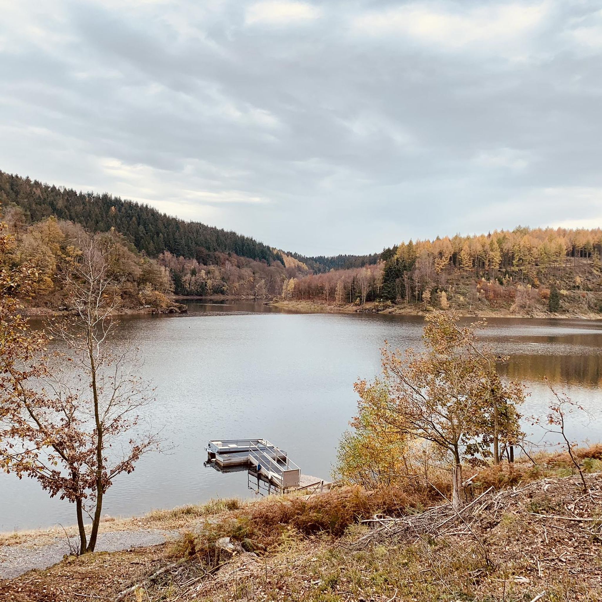
비버가 이곳에 서식지를 만들었습니다.
1
0


튼튼한 신발이 이미 필요합니다. 나이키로는 추천하지 않습니다 😂
0
0

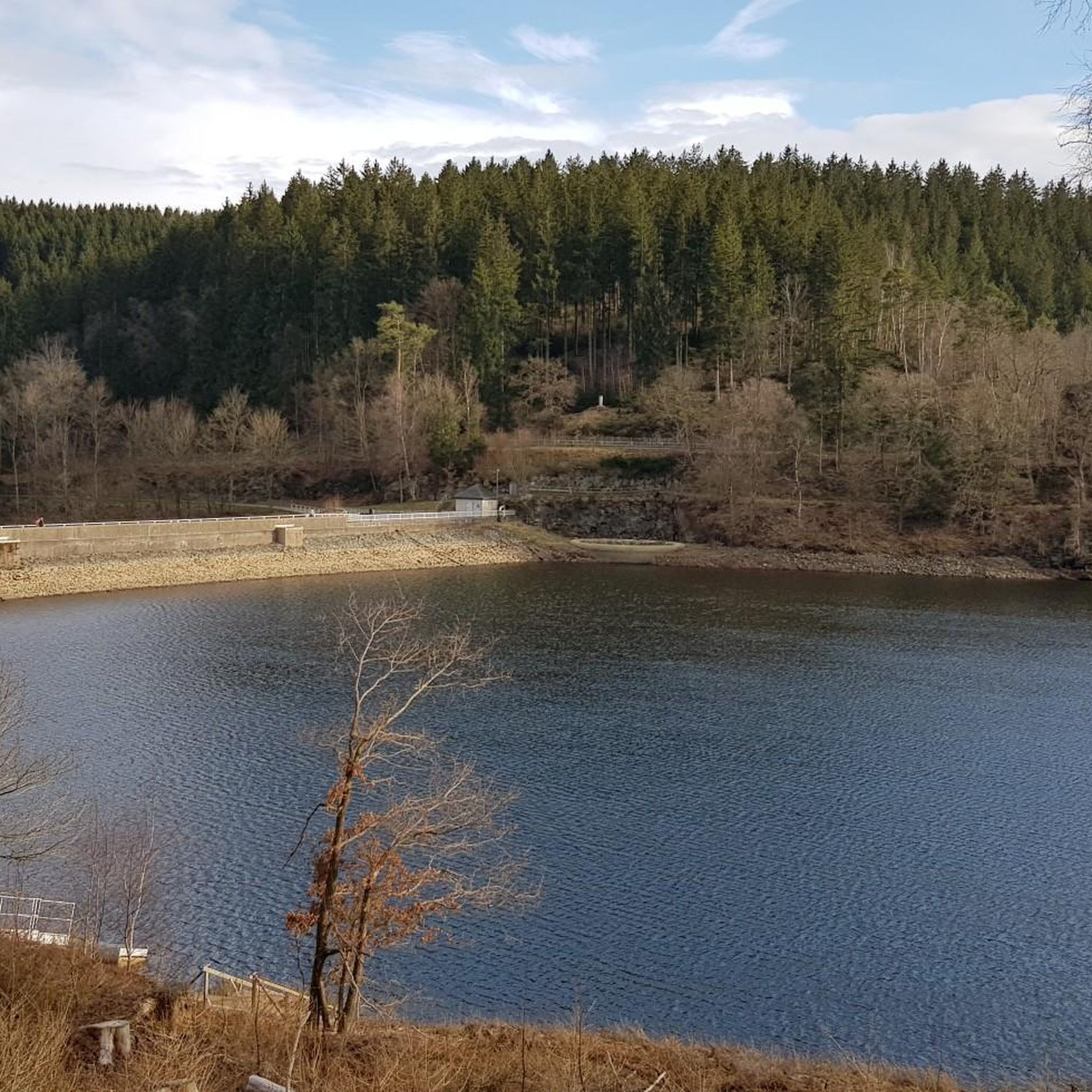
You'll find the Kaiserfelsen (Emperor's Rock) right near the dam.
2
0

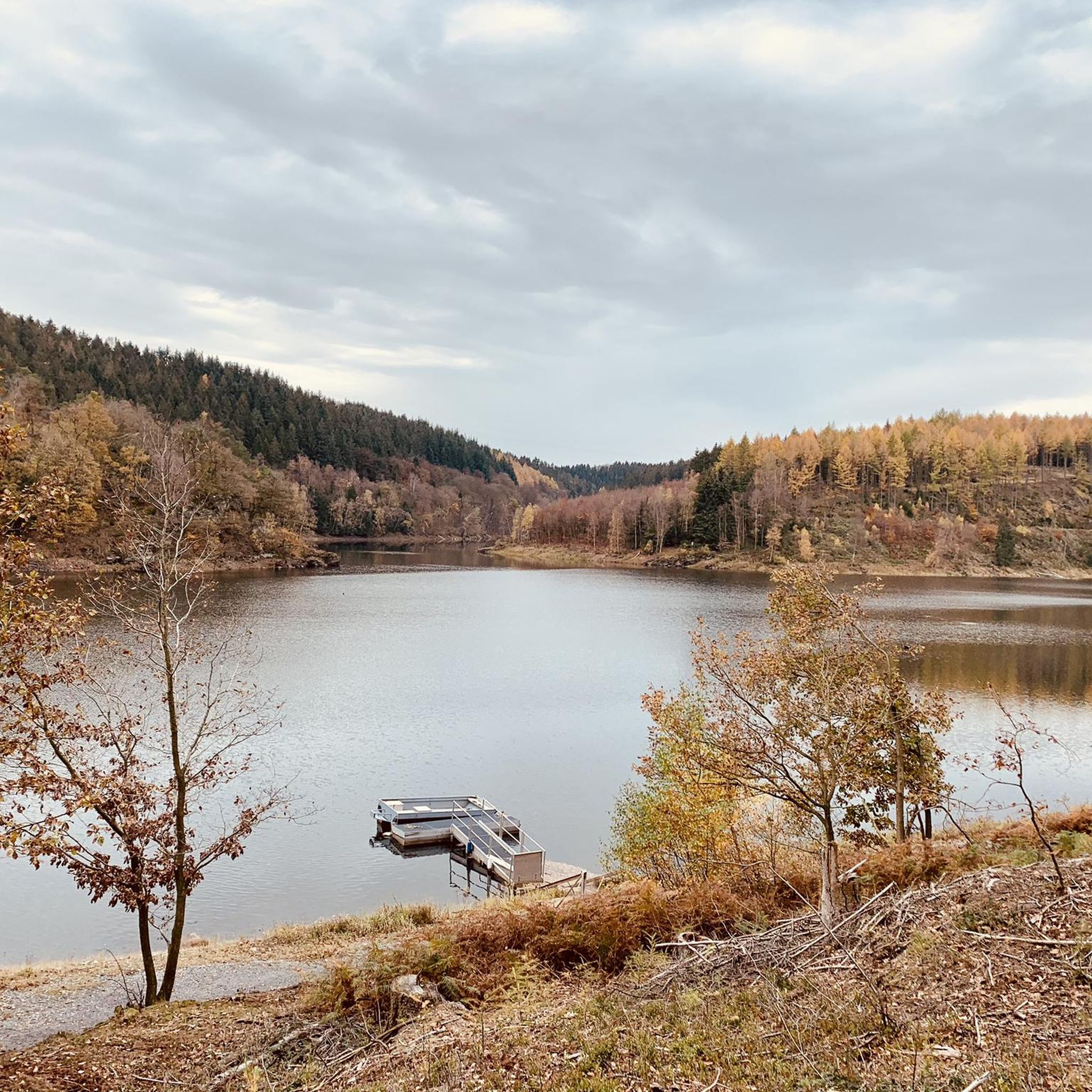
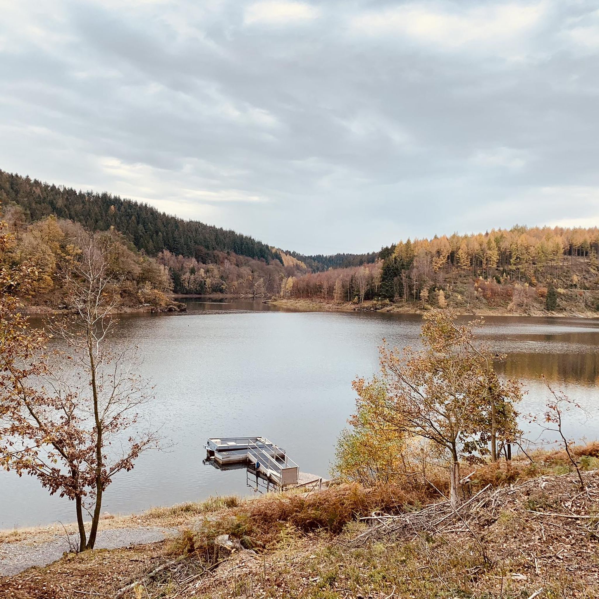
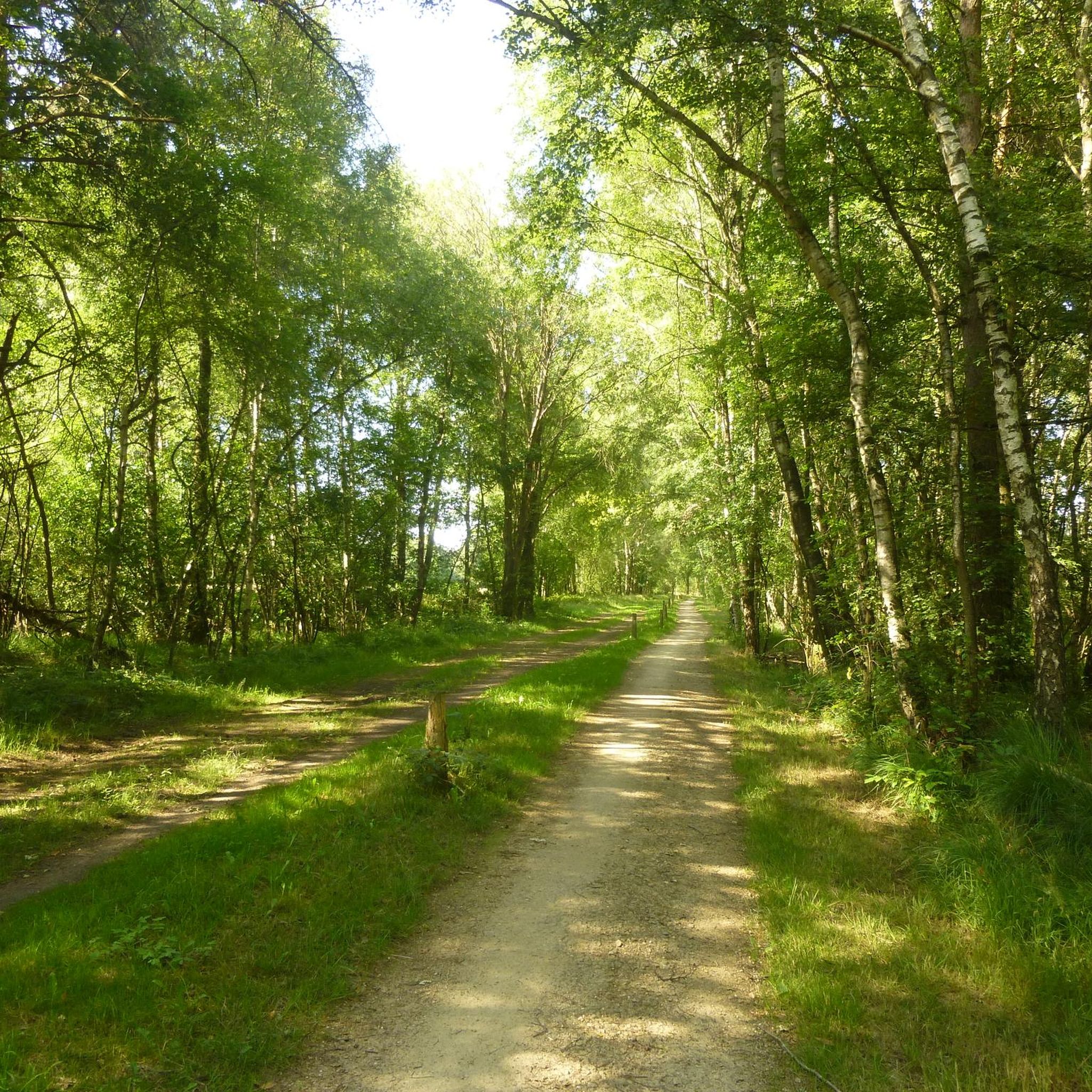
The Kall Dam, known as the Kalltalsperre in German, is a tranquil and natural dam in the Kall Valley near Simmerath in the northwestern Eifel region of Germany, not far from the Dutch border. This dam forms a reservoir that serves as part of the local drinking water supply and natural water management system. It is not used for swimming or water sports because it functions as a drinking water reservoir, and strict restrictions apply to keep the water clean and safe. Unlike larger tourist dams such as the Urft or Rur Dam, whose history and size are legendary, the Kall Dam is especially popular for its natural beauty and tranquil setting. Surrounding the water are forests, meadows, and gentle slopes, perfect for walks through tranquility and greenery. From the Kallbrück Wanderparkplatz car park near Rollesbroich, you can directly follow paths leading to the dam and around the water, making it a popular starting point for a circular walk around the Kall Dam. The hiking trails around the dam are generally easy to navigate and ideal for short or medium-length hikes. Although the dam itself is not a recreational swimming area, the surrounding landscape offers tranquility and a natural experience, with views over the water and wooded slopes that are resplendent in autumn and teeming with life in spring. Birds, small mammals, and a variety of plant species thrive in this environment, making the Kall Dam an attractive destination for nature lovers as well. Access to the dam and its paths is free and possible year-round, as long as you stay on the established hiking trails and respect the area's role as a drinking water supply (so no swimming or boating). From the Kallbrück car park, a circular route leads past the reservoir and through the surrounding Kall valley, making for a peaceful and varied walk lasting anywhere from an hour to several hours, depending on the route chosen. The Kall Dam's location in the Eifel region also makes it ideal for combining with other natural and historical attractions in the region. Around Simmerath and the Kall Valley, several hiking trails lead through valleys, streams, and forests, suitable for both day hikes and longer treks. For those seeking a more challenging experience, there are longer routes like the Kall Trail (approximately 8.8 km) or the Kalltalweg (approximately 7.5 km), which pass through the Kall Valley and surrounding areas. These routes are slightly more hilly and offer a richer view of the landscape.
0
0
칼탈스페레 주변에서 가장 인기 있는 명소


더 살펴보기
다른 지역의 최고의 MTB 트레일를 살펴보세요.
