리어스 최고의 워킹 & 하이킹 경로
4.6
(647)
4,007
등산객
29
하이킹
하이킹은 Leers 주변의 고요한 수로, 시골 풍경, 벨기에 국경 근처의 독특한 국경 간 경로를 탐험할 기회를 제공합니다. 이 지역은 경치 좋은 Roubaix 운하와 탁 트인 Ferrain 평야가 특징입니다. 작은 도로와 오솔길의 네트워크는 하이커에게 다양한 지형을 제공합니다. 이러한 특징은 운하 옆의 쉬운 산책부터 시골을 통과하는 적당한 난이도의 오솔길까지 다양한 옵션을 제공합니다.
Leers 주변 최고의 하이킹 트레일
- 가장 인기 있는 하이킹 경로는 Leers 여과 연못 – Leers-Nord 잠금 장치 루프 (Leers 출발)로, 7.2마일(11.6km) 길이이며 완료하는 데 2시간 55분이 걸립니다. 이 적당한…
마지막 업데이트: 10월 12, 2026
4.1
(14)
51
등산객
11.6km
02:56
20m
20m
보통 하이킹. 좋은 체력 필요. 실력과 관계없이 누구나 쉽게 갈 수 있는 길.
4.7
(10)
24
등산객
8.57km
02:10
10m
10m
보통 하이킹. 좋은 체력 필요. 실력과 관계없이 누구나 쉽게 갈 수 있는 길.

4.0
(1)
16
등산객
7.68km
01:56
10m
10m
초급용 하이킹. 모든 체력 수준에 적합. 실력과 관계없이 누구나 쉽게 갈 수 있는 길.
4.3
(3)
11
등산객
7.42km
01:53
20m
20m
초급용 하이킹. 모든 체력 수준에 적합. 실력과 관계없이 누구나 쉽게 갈 수 있는 길.
5.0
(1)
10
등산객
8.58km
02:10
20m
20m
보통 하이킹. 좋은 체력 필요. 실력과 관계없이 누구나 쉽게 갈 수 있는 길.
더 다양한 경로와 다른 탐험가들의 추천을 살펴보세요.
이미 komoot 계정이 있나요?
투어 추천은 다른 사람들이 komoot에서 완료한 수천 개의 활동을 바탕으로 구성되어 있습니다.
오늘 무료 계정으로 시작하세요
다음 모험이 기다리고 있어요.


커뮤니티 팁

Trees, birds, flowers and butterflies colour this electricity box.
3
0
There is a rather special history surrounding the church of Leers: The Border Treaty between France and the Austrian Netherlands made possible the rectification of the border between the two countries. In 1769, Leers-Tournaisis (1/4) was annexed by France, of which Leers-Châtellenie de Lille (3/4) was part, creating a single parish of 945 hectares! In 1781, part of Leers, including the Belva road, which had hindered trade, was returned to the Austrian Netherlands (405 hectares). This division did not change the situation of the pastor of Leers. Abbot Cosse simply registered the subjects of the Emperor of Austria in Leers-North and the subjects of King Louis XVI, King of France, in Leers-South, in two separate registers. Newborns were all brought to the church in Leers-France, and the dead were brought there via a path that has retained the name "Chemin des Morts" (Path of the Dead). This route began on the present-day square of Leers-Nord, followed the path of the Bazulante Cross, then the Path of Courage to reach the choir of the church of Leers-France. Source: leershistorique.fr
3
0
This cross or Calvary chapel is located on the roundabout at the town square of Leers-Noord and overlooks the St. Vaast Church at the other end of the square.
4
0
"Satcheu" is the Picardian term for "boat puller." This statue pays tribute to those who once practiced this arduous profession: from the towpath, people (or horses) pulled boats across the river or, as here, the canal (Canal de l'Espierre). The statue is a work by Sylvie Koechlin and was unveiled in 2006.
4
0
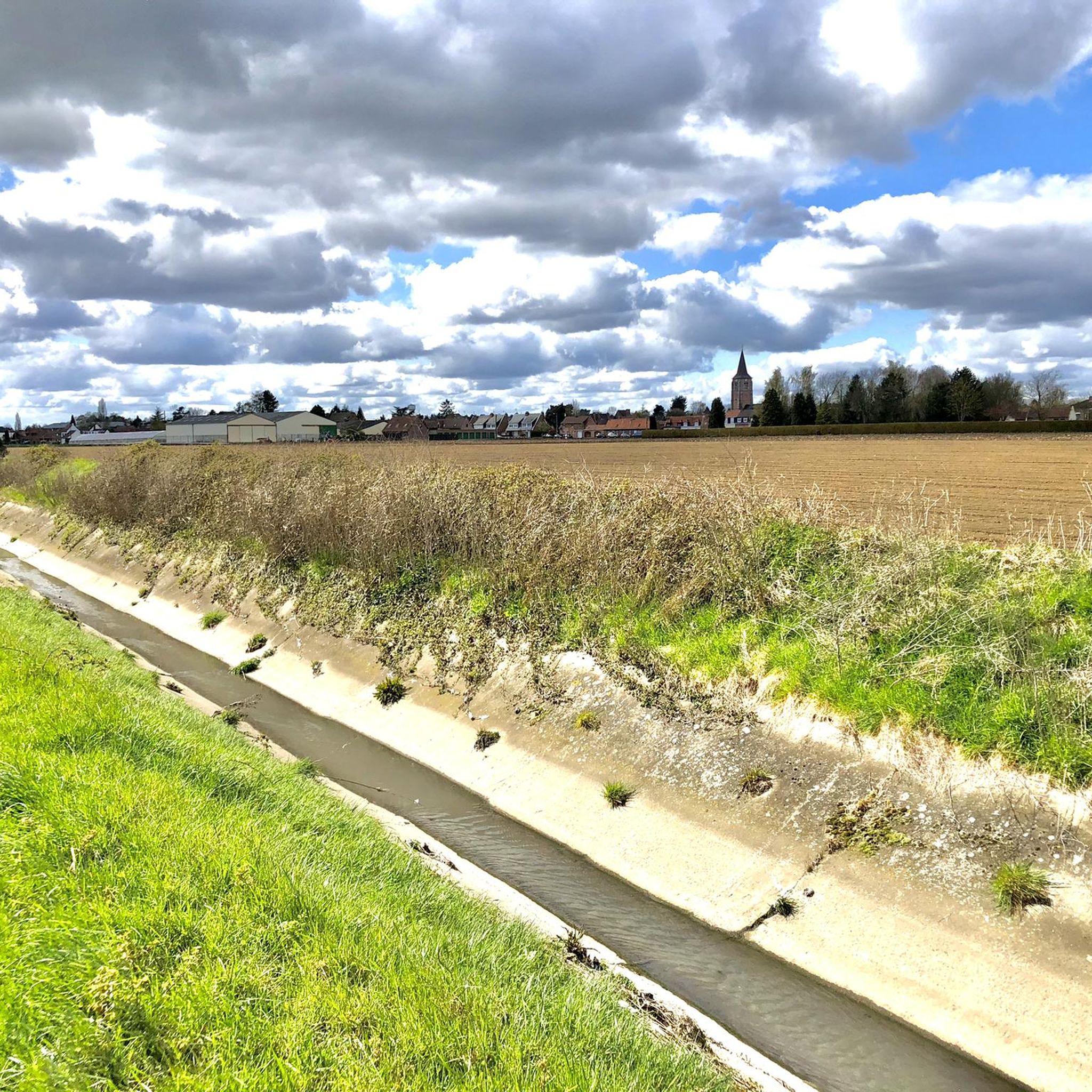
A largely paved path runs through the fields between the Canal de l'Espierre and the Church of Saint-Vaast. It offers a beautiful view of the village.
4
0
A little further downstream than the Leers-Noord lock, you can cross the canal again. The path on the north side of the canal leads to Estaimpuis; the one on the south side leads to Leers-Noord.
2
0
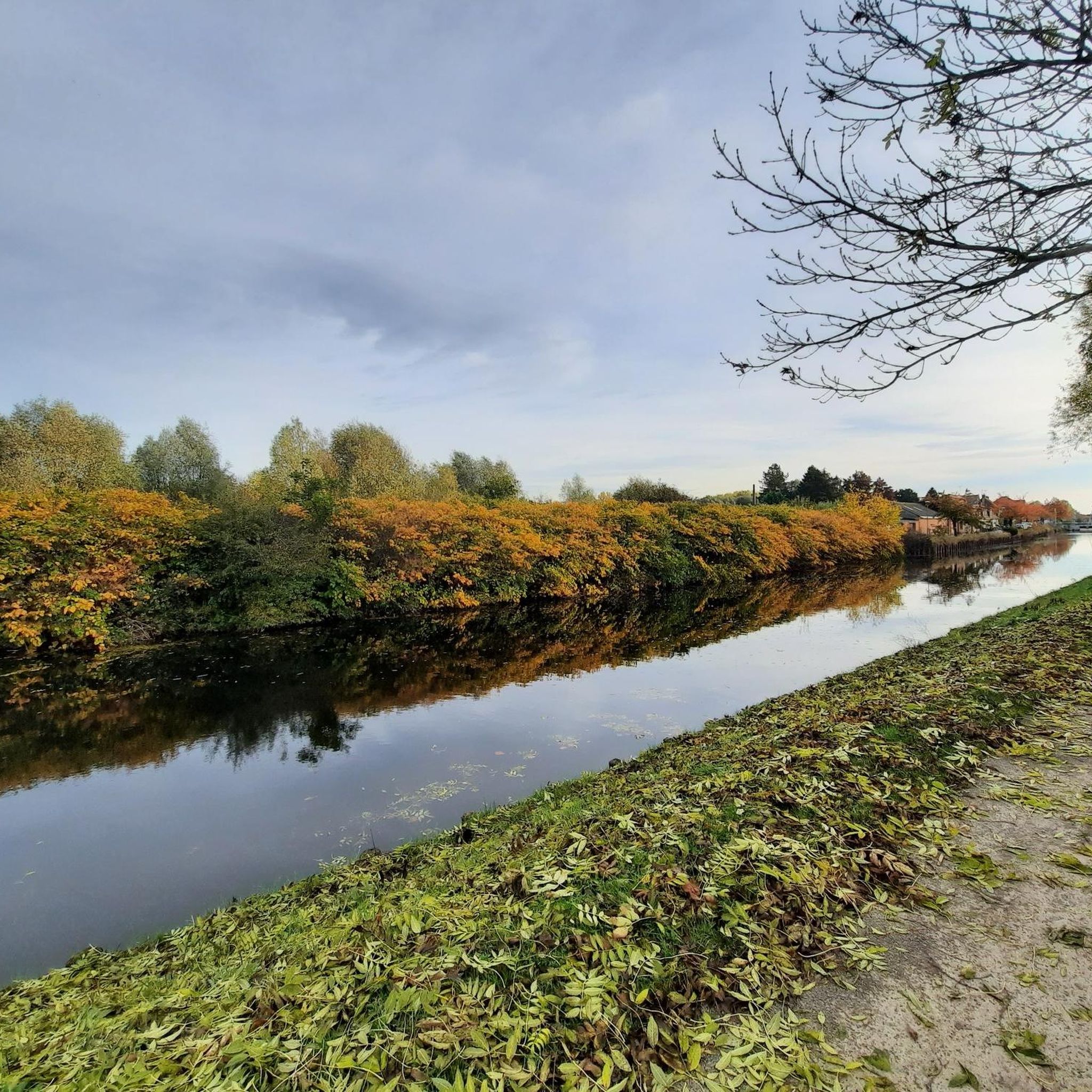
The Roubaix Canal, or the Espierres Canal, as it's called in French or Belgian, forms part of the link between the Deûle River in France and the Scheldt River in Belgium. In 1843, the two canals were connected between Leers, France, and Leers-Nord, Belgium. Despite damage sustained during the two world wars, the canal was the pinnacle of the region's textile industry for over a hundred years, transporting coal from Belgium to numerous French factories. In Leers-Nord, Belgium, the workers who pulled the coal-laden barges were called "satcheux" (sailors). Next to the lock keeper's house, a stone's throw from France, the crossing point between France and Belgium, a customs guardhouse was built. Customs officers were present to inspect the numerous goods transported by barge. After the decline of the textile industry in the 1970s and 1980s, the canal gradually lost its usefulness and was closed to shipping in 1983. In the early 2000s, the canal was the subject of a cross-border rehabilitation project to allow tourist boats to pass through again. As part of the Interreg Blue Links project, a collaboration between France, Flanders, and Wallonia, it was flooded again. The final works were completed in 2011, and navigation reopened. Since the early 20th century, the Roubaix/Espierres Canal has been a place of conviviality, walking, and fishing for cross-border residents and commuters. Consequently, strong public opposition has arisen to the plan to convert the canal into a motorway. Source: www.caue-nord.com
3
0
The filter ponds in Leers were built to supply water to the Roubaix Canal, which is located nearby. Their primary function is to purify some of the water from the Grimonpont wastewater treatment plant. This plant initially filters 75% of the water; the ponds then process the remaining 25%. This final filtration takes seven days. During this process, the water flows through several ponds, moving from one to the other by gravity. This filtration technique is called phytoremediation: the water is naturally purified by algae, plants, and microorganisms that thrive in these ponds. In Leers, plants such as yellow iris and purple loosestrife, among others, play this purifying role. After seven days of filtration, the water flows into a final 9,000 m² basin. At this stage, it is perfectly purified and of very high quality. This final basin, known as the "storage basin," is the final step before the water is conveyed to the canal. The Leers filter ponds, formerly a landfill, are now a peaceful 5-hectare nature reserve, perfect for a relaxing walk, alone or with the family. The area is home to around thirty bird species, including the coot, the Mediterranean gull, and the reed bunting. If you look closely, you might even be lucky enough to spot a smooth newt swimming in the ponds, searching for small invertebrates to feed on. To protect the environment and wildlife, dogs must be kept on a leash on the paths and are not permitted in the winding sections of the ponds. Source: enm.lillemetropole.fr
2
0
리어스 주변에서 가장 인기 있는 명소


더 살펴보기
다른 지역의 최고의 하이킹를 살펴보세요.
