20의 라 그란데포스가지 명소 & 주요 장소
라 그란데포스에는 둘러볼 만한 장소가 많답니다. 하이킹 또는 사이클링을 좋아한다면 라 그란데포스에 숨겨진 20
가지 보석을 만날 수 있을 거예요. 이 지역의 주요 명소를 살펴보면서 다음 모험을 계획해보세요.
마지막 업데이트: 10월 23, 2026

프랑스를 위해 희생된 마을들의 오솔길 – 라 폰타넬르
하이라이트 • 역사적 장소
Here are buried some French soldiers who lost their lives on the battlefield of Hill 627, as the military name goes, defending France …
번역자 Google •
팁에 의해

이런 장소를 발견하려면 지금 가입하세요
최고의 싱글 트랙, 봉우리 및 다양한 흥미로운 야외 장소에 대한 추천을 받아보세요.
라 뷔르의 켈트 캠프
하이라이트 • 역사적 장소
번역자 Google •
팁에 의해
Col de Steige
하이라이트 • 산악 고개
번역자 Google •
팁에 의해

무료로 가입하여 라 그란데포스 주변의 더 많은 명소를 발견하세요.
이미 komoot 계정이 있나요?
오늘 무료 계정으로 시작하세요
다음 모험이 기다리고 있어요.

커뮤니티 팁


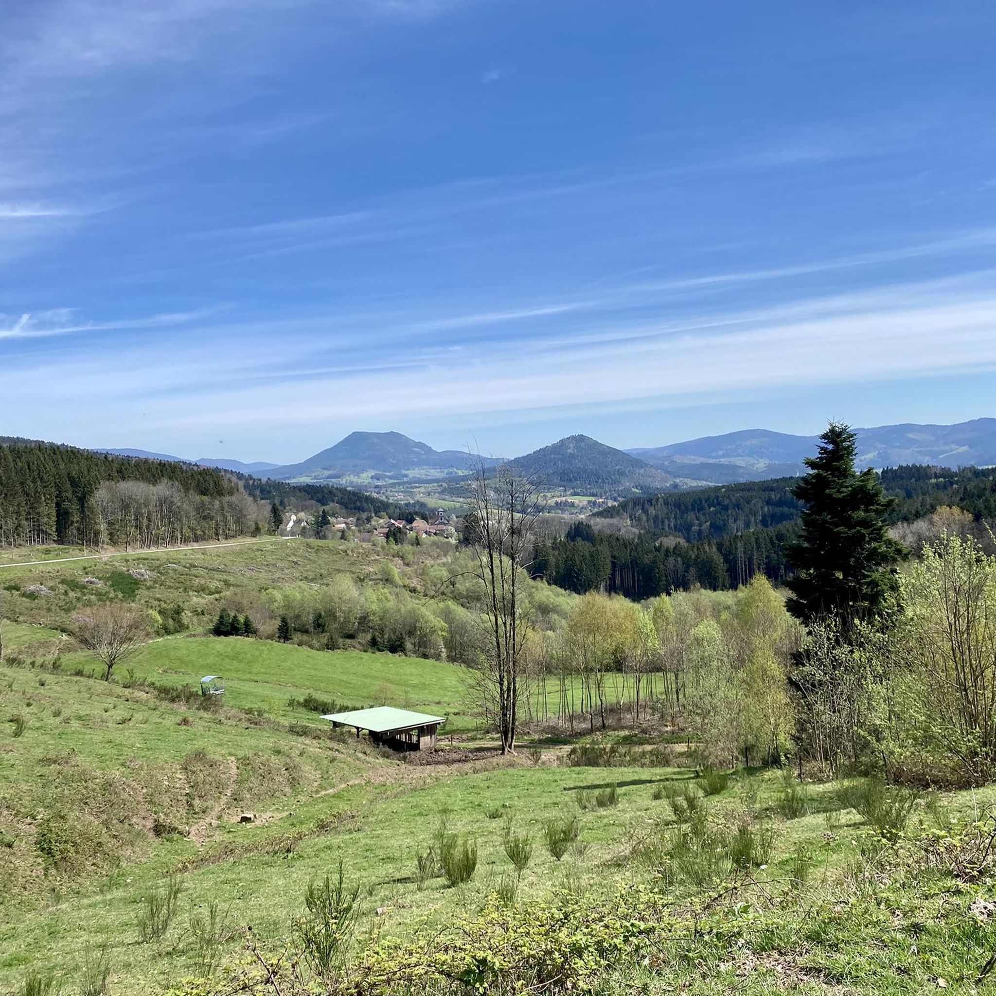
Two prominent rocks form a great viewing point here. They are connected by a bridge and can be reached via a staircase. On the first rock you will find a panoramic map on the brick parapet. There is a natural bench under this rock. The German command post for this section of the front during the First World War is also located here. It was fortified with reinforced concrete in 1916.
2
1

The Celtic camp of the Bure is a fortified plateau bordering the Haute-Meurthe valley in the Grand-East of France. The plateau, now wooded, lies between the communes of Saint-Dié-des-Vosges and that of Hurbache, at the western end of the Ormont massif. This site, known for 23 years of archaeological research from 1964 to 1986, has been classified as a Historical Monument since August 6, 1982. The site has been inhabited since at least the Neolithic period. Then used intensively by the Celts and later by the Romans. There is a lot to see from that time, also because there have not been any settlement activities worth mentioning for a long time. More information e.g. here: https://fr.wikipedia.org/wiki/Camp_celtique_de_la_Bure
6
0
La Fontanelle - military cemetery and battlefield Here are buried some French soldiers who lost their lives on the battlefield of Hill 627, as the military name goes, defending France against the German invaders in the First World War. There are several paths here, including around the old battlefield. The shortest way is about 600 meters long and also suitable for wheelchairs. There are some information boards with photos from the period 1914/15, when a cruel trench warfare took place here, which also killed three hamlets that were never rebuilt. At the car park there are large information boards in three languages (French, English and German). Ancient trenches and fortified positions can still be found throughout the area. Unfortunately, also ammunition that did not detonate and can therefore pose a great danger to the curious person. Take care of your children and leave any finds lying around. Here is some information in German: https://de.wikipedia.org/wiki/La_Fontenelle
2
0
As early as the 7th century, Deodatus (French Dieudonné), who was revered by the people as a saint, is said to have founded a monastery here, from which a community of canons then developed in the 10th century. At that time the church wore the patron saint of St. Mauritius. The diocese of Saint-Dié was only established in 1777 by Pope Pius VI. († 1799) built. The church building, which was built in different architectural styles, was blown up by the Germans in 1944, destroying the entire nave and the choir area along with their vaults. The reconstruction lasted until 1974; in this year the church was newly consecrated. Most of the stained glass windows were made and inserted in the 1980s. https://en.wikipedia.org/wiki/Cathedral_of_Saint-Di%C3%A9
3
0

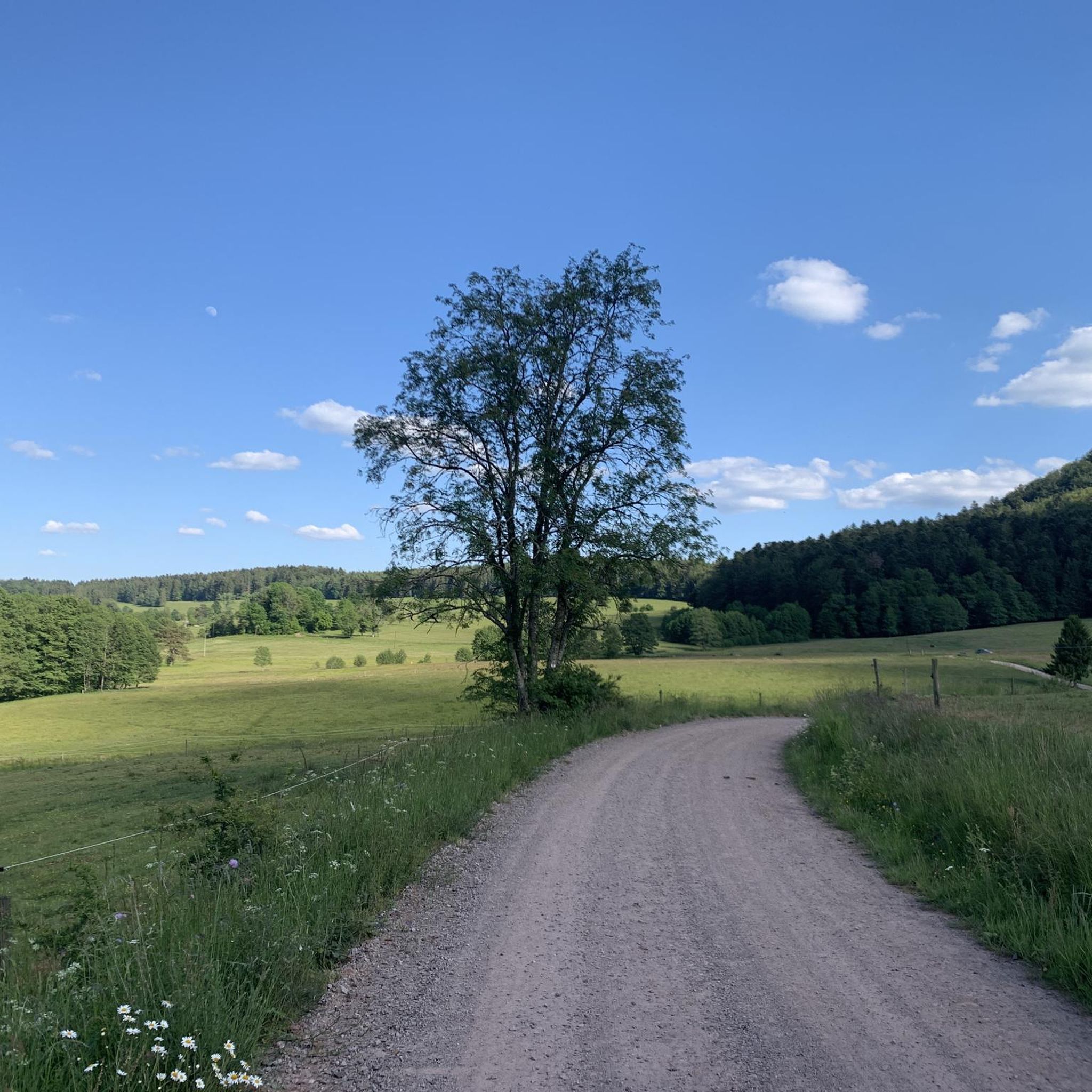
The Col de Steige from Saint Martin is 9.7km long with a total drop of 249m. The average gradient is 2.57% with maximum gradients of 5.3%.
2
0

A walk marked with panels explaining the front line during 14//18
0
1
라 그란데포스 주변에서 가장 인기 있는 명소


더 살펴보기
찾고 있는 하이라이트를 아직 못 찾으셨나요? 다른 지역의 주요 명소 가이드를 확인해보세요:
