라 그란데포스 최고의 사이클링 경로
4.5
(125)
1,100
자전거 타는 사람
81
라이딩
라 그란데포스 최고의 사이클링 경로를 따라 지역을 둘러볼까요? 라 그란데포스에서 가장 멋진 자전거 라이딩 장소 중에서 가장 마음에 드는 라이딩을 선택해보세요.
마지막 업데이트: 8월 28, 2026
4.4
(8)
46
자전거 타는 사람
43.0km
02:45
480m
480m
어려운 자전거 타기. 우수한 체력 필요. 대부분 포장된 지면. 실력과 관계없이 누구나 갈 수 있음.
5.0
(2)
41
자전거 타는 사람
27.5km
01:50
350m
350m
보통 자전거 타기. 좋은 체력 필요. 대부분 포장된 지면. 실력과 관계없이 누구나 갈 수 있음.

무료 회원 가입
4.8
(4)
22
자전거 타는 사람
71.5km
04:59
1,240m
1,240m
어려운 자전거 타기. 우수한 체력 필요. 대부분 포장된 지면. 실력과 관계없이 누구나 갈 수 있음.
4.6
(7)
68
자전거 타는 사람
49.8km
03:22
670m
670m
어려운 자전거 타기. 우수한 체력 필요. 대부분 포장된 지면. 실력과 관계없이 누구나 갈 수 있음.
4.3
(3)
12
자전거 타는 사람
24.6km
01:29
190m
190m
보통 자전거 타기. 좋은 체력 필요. 대부분 포장된 지면. 실력과 관계없이 누구나 갈 수 있음.
더 다양한 경로와 다른 탐험가들의 추천을 살펴보세요.
무료 회원 가입
이미 komoot 계정이 있나요?
투어 추천은 다른 사람들이 komoot에서 완료한 수천 개의 활동을 바탕으로 구성되어 있습니다.
오늘 무료 계정으로 시작하세요
다음 모험이 기다리고 있어요.
로그인 또는 가입하기

커뮤니티 팁


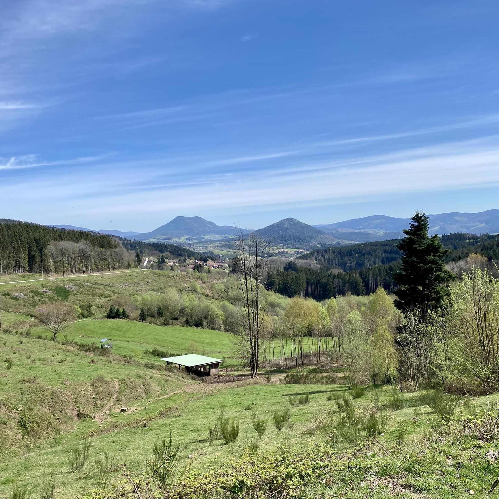
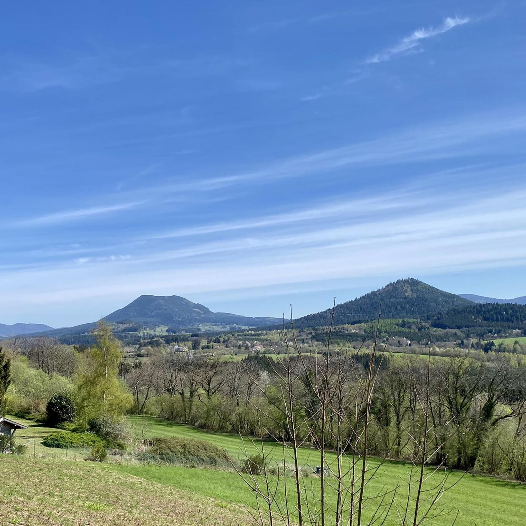
샹 뒤 푸(Champ du Feu)는 해발 1099미터로 보주 산맥 알자스 지역 바-랭(Bas-Rhin) 데파르트망에서 가장 높은 산입니다. 벨몽(Belmont)과 르 오발(Le Hohwald) 마을 사이에 위치하며, 숲, 초원, 습지로 이루어진 광활한 고원 지대입니다. 이 지역은 인기 있는 자연 및 레크리에이션 장소입니다. 여름에는 주로 하이킹, 산악자전거, 자연 관찰에 이용됩니다. 겨울에는 겨울 스포츠를 위한 크로스컨트리 스키 코스와 간단한 슬로프가 있는 작은 스키장이 있습니다. 샹 뒤 푸에서는 라 세르바(La Serva) 개울이 발원하며, 이 개울은 나중에 세르바 폭포(Cascade de la Serva)를 형성합니다. 맑은 날에는 정상에서 보주 산맥, 라인강 평원, 그리고 검은 숲까지 넓은 전망을 감상할 수 있습니다. 이 지역은 특히 고요한 자연, 고층 습지, 일출과 별이 빛나는 밤하늘, 그리고 잘 표시된 하이킹 코스로 유명합니다.
0
0


Magnificent pass to climb from different slopes (Breitenbach, Steige, Vallée de la Bruche, Andlau). It is also a crossing point towards the Champ du feu, the Hohwald, the Mont Ste Odile.
0
0

The Combrimont town hall stands on the site where the former hamlet of Bonipaire was officially transformed into an independent municipality in 1848. The building is simple in design, in keeping with the rural character of the village, and together with the nearby Calvary cross it forms the symbolic heart of the community.
6
0
Originally built in the 12th century, this church was rebuilt and expanded in the 18th century. The square Romanesque bell tower was raised in 1712 and topped with a striking onion-shaped dome, built by Polish carpenters at the initiative of Stanislas Leszczyński, King of Poland and Duke of Lorraine. The church was badly damaged during WWI, but was restored in the 1920s. Inside, you will find stained glass windows by Frères Ott (Strasbourg) and murals in friezes. The church has been protected as a historical monument since 1995.
2
0
This impressive First World War cemetery is located in the hamlet of Aux Zières de la Vigne near Bertrimoutier (Vosges). It consists of two parts: a French national necropolis with 966 individual graves, including 12 Russian and 1 Romanian soldier, and a German military cemetery with 6,749 dead, more than 4,000 of whom are buried in ossuaries. The site was created between 1921 and 1924 and has become a symbol of shared remembrance. The German graves are marked with simple metal crosses; the names of the unknown are on bronze plaques. Most of the dead fell during the Battle of Lorraine in August 1914 or during trench warfare in the years that followed.
9
0
라 그란데포스 주변에서 가장 인기 있는 명소


더 살펴보기
다른 지역의 최고의 자전거 경로를 살펴보세요.
