경로

플래너

기능

업데이트

App

로그인 또는 가입

앱 다운로드

로그인 또는 가입

경로
Places to see
프랑스
그레이트 이스트
장크트 디델

라 부르공스

20의 라 부르공스가지 명소 & 주요 장소


라 부르공스에는 둘러볼 만한 장소가 많답니다. 하이킹 또는 사이클링을 좋아한다면 라 부르공스에 숨겨진 20
가지 보석을 만날 수 있을 거예요. 이 지역의 주요 명소를 살펴보면서 다음 모험을 계획해보세요.

마지막 업데이트: 7월 15, 2026

라 뷔르의 켈트 캠프

하이라이트 • 역사적 장소

The Celtic camp of the Bure is a fortified plateau bordering the Haute-Meurthe valley in the Grand-East of France. The plateau, now wooded, lies between the communes of Saint-Dié-des-Vosges and …

번역자 Google •

에 의해

하이킹 보기

휴대폰으로 전송

저장

The forest road between Brouvelieures and Autrey is a scenic and quiet road that follows the La mortagne river through the forest. The road winds through a dense and enchanting forest.

번역자 Google •

에 의해

저장

이런 장소를 발견하려면 지금 가입하세요

최고의 싱글 트랙, 봉우리 및 다양한 흥미로운 야외 장소에 대한 추천을 받아보세요.

무료 회원 가입

생디에 대성당

하이라이트 • 종교적 장소

As early as the 7th century, Deodatus (French Dieudonné), who was revered by the people as a saint, is said to have founded a monastery here, from which a community …

번역자 Google •

에 의해

저장

라 피에르 다펠

하이라이트 • 전망대

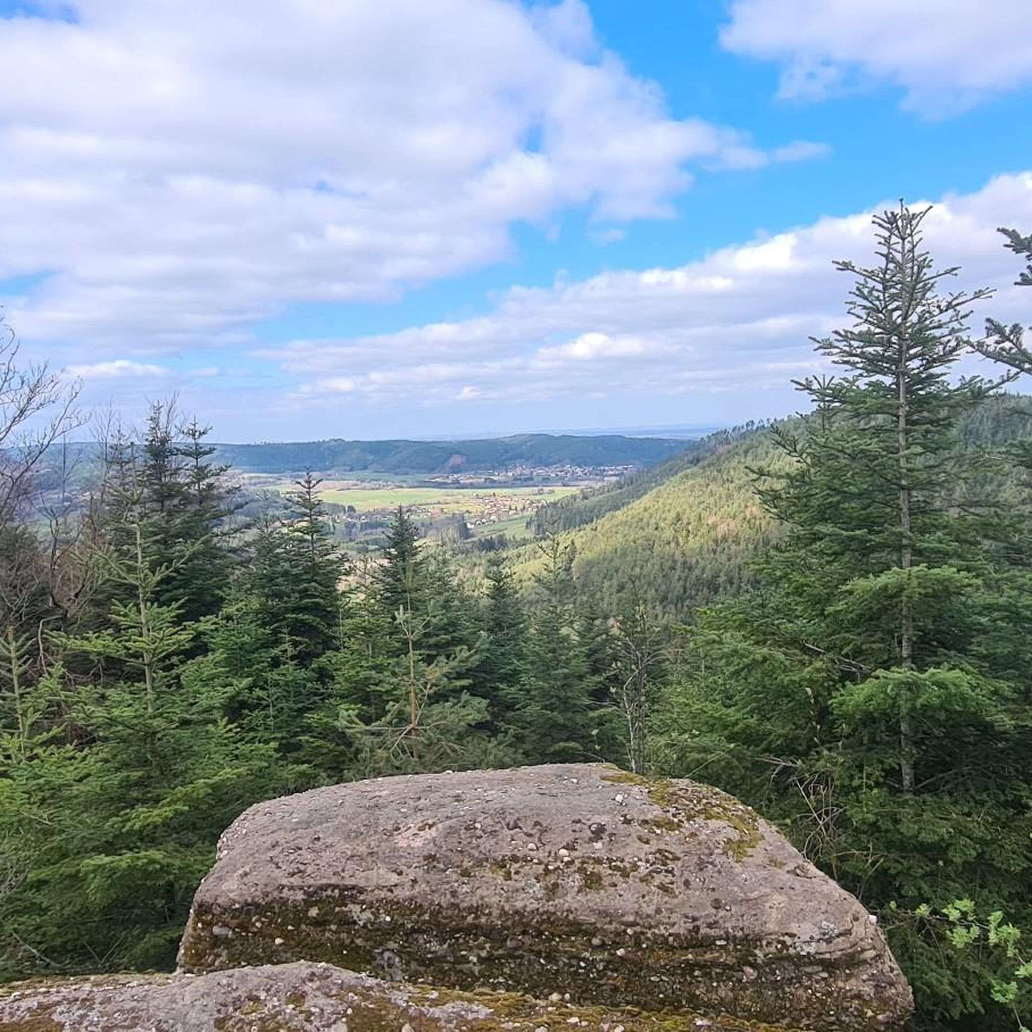
The Pierre d’Appel is a rock located on the Madeleine massif, above Saint-Dié-des-Vosges. It was once used as a gathering place and signal point, hence its name. This promontory offers …

번역자 Google •

에 의해

저장

생마르탱 교회

하이라이트 • 종교적 장소

Since the 13th century, a hospice was maintained there by the church. and welcomed pilgrims, travelers and the city's sick. At the request of the inhabitants of this suburb, a …

번역자 Google •

에 의해

저장

무료로 가입하여 라 부르공스 주변의 더 많은 명소를 발견하세요.

무료 회원 가입

이미 komoot 계정이 있나요?

오늘 무료 계정으로 시작하세요

다음 모험이 기다리고 있어요.
로그인 또는 가입하기

라 부르공스 주변 인기 장소

라 부르공스 로드 사이클링 경로

라 부르공스 하이킹

라 부르공스 사이클링

라 부르공스 MTB 트레일

라 부르공스 주변 그래블 라이딩

라 부르공스 러닝 트레일

커뮤니티 팁

Rom2
7월 15, 2026, Camp Celtique de la Bure

MTB 이용 가능 캠핑장이지만 자전거 옆에 있습니다

번역: Google

0

0

Joel
2월 26, 2026, La Pierre d'Appel

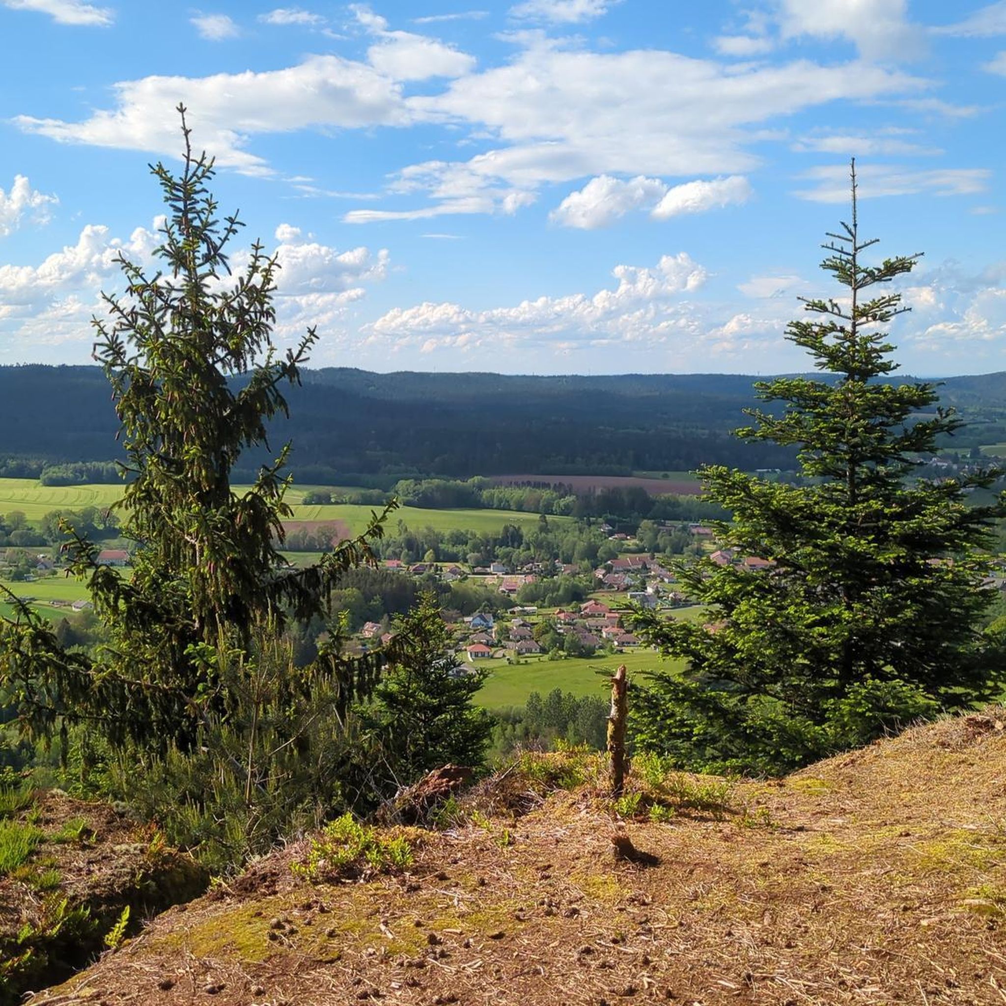
La Pierre d'Appel is located in the Côte de Repy, above Etival Clairefontaine and offers a view of both the Meurthe valley up to St Dié and the Rabodeau valley.

번역: Google

0

0

The Pierre d’Appel is a rock located on the Madeleine massif, above Saint-Dié-des-Vosges. It was once used as a gathering place and signal point, hence its name. This promontory offers a beautiful view over the Meurthe valley while being situated in a typical Vosges forest environment, peaceful and steeped in local traditions.

번역: Google

0

0

Since the 13th century, a hospice was maintained there by the church. and welcomed pilgrims, travelers and the city's sick. At the request of the inhabitants of this suburb, a church was built there, while a new, more spacious hospital was erected on the right bank of the Meurthe. The church was dedicated to Saint-Martin and was consecrated in 1728. On July 14, 1895, during the National Day fireworks display, the church was set on fire by a rocket which hit the roof covered with fir twigs and burned to the ground. According to the plans of the Parisian architect Heubès, a new Vosges sandstone church was built in the "floral Romanesque" style and consecrated on August 13, 1902.

번역: Google

3

0

Quiet road through beautiful forest

번역: Google

1

0

The Celtic camp of the Bure is a fortified plateau bordering the Haute-Meurthe valley in the Grand-East of France. The plateau, now wooded, lies between the communes of Saint-Dié-des-Vosges and that of Hurbache, at the western end of the Ormont massif. This site, known for 23 years of archaeological research from 1964 to 1986, has been classified as a Historical Monument since August 6, 1982. The site has been inhabited since at least the Neolithic period. Then used intensively by the Celts and later by the Romans. There is a lot to see from that time, also because there have not been any settlement activities worth mentioning for a long time. More information e.g. here: https://fr.wikipedia.org/wiki/Camp_celtique_de_la_Bure

번역: Google

6

0

As early as the 7th century, Deodatus (French Dieudonné), who was revered by the people as a saint, is said to have founded a monastery here, from which a community of canons then developed in the 10th century. At that time the church wore the patron saint of St. Mauritius. The diocese of Saint-Dié was only established in 1777 by Pope Pius VI. († 1799) built. The church building, which was built in different architectural styles, was blown up by the Germans in 1944, destroying the entire nave and the choir area along with their vaults. The reconstruction lasted until 1974; in this year the church was newly consecrated. Most of the stained glass windows were made and inserted in the 1980s. https://en.wikipedia.org/wiki/Cathedral_of_Saint-Di%C3%A9

번역: Google

3

0

The forest road between Brouvelieures and Autrey is a scenic and quiet road that follows the La mortagne river through the forest. The road winds through a dense and enchanting forest.

번역: Google

1

0

라 부르공스 주변에서 가장 인기 있는 경로

라 부르공스 로드 사이클링 경로

라 부르공스 주변에서 가장 인기 있는 명소

Natural Monuments

Store rating

komoot 모바일 앱으로 영감을 받아보세요

무료 komoot 계정로 끝없는 야외 모험을 손쉽게 찾고, 맞춤 설정하며 길안내할 수 있어요.

또는

지금 komoot에 가입하세요

Store rating

더 살펴보기

찾고 있는 하이라이트를 아직 못 찾으셨나요? 다른 지역의 주요 명소 가이드를 확인해보세요:

게르트제게르베팔Xonrupt-Longemer르 발탱고소하다Ban-Sur-Murthe-Clefcy리에제그랑주-오몽제프레이즈리하우팔La Croix-Aux-Mines아랑테스 드 코르시외바비세로샹드레이반드라벨린아놀드생스테일르 버몬트무시벡사인코트맨드레이르 솔시루빈루비니라온 쉬르 플레인에티발-클레어퐁텐알라몬트뤼세르 푸이드테인트룩스벨발세노네스라 샤펠 데방 브뤼에르솔시 쉬르 메르트그랜드럽트레서자연 보호 구역 뒤 타네-가종-뒤-파잉프로방셰르 에 콜로이비유물랭셀레 쉬르 플레인르 몽코르시외라 그란데포스리모믹스모옌무티에누빌러 쉬르 파브반드삽라 쁘띠-라온헤르펠몬트생 미셸 쉬르 메르트주사루트콤브리몬트프라펠페어-엣-그랜드럽트나예몽레포스르 뷰레라 쁘띠-포스생장도르몽드니파르동전메닐 드 세논생트 마거리트허바체라 후시에르게마인구트모르타뉴비엔빌라부아브르생 레오나르도비폰테인명명하다샤타스레이브스비스바흐라온레타프베르트리무티에부아드샹레 루즈오생레미라살레 풀리에르앙트르-듀-오벨몽 쉬르 부탕베르베젤돔파잉브루벨리에프레미폰테인라크 드 제라르메르락 드 롱제머Forêt Domaniale De MoyenmoutierForêt Domaniale De Celles

근처 어드벤처 가이드

라살 즐길거리

background

새로운 정복을 위한 준비를 하세요

무료로 가입하기

탐험하기
경로경로 플래너기능하이킹MTB 트레일로드 사이클링 경로바이크패킹사이트맵
앱 다운로드
소셜 미디어에서 팔로우하기

© komoot GmbH

개인 정보 보호 정책