20의 생 미셸 쉬르 메르트가지 명소 & 주요 장소
생 미셸 쉬르 메르트에는 둘러볼 만한 장소가 많답니다. 하이킹 또는 사이클링을 좋아한다면 생 미셸 쉬르 메르트에 숨겨진 20
가지 보석을 만날 수 있을 거예요. 이 지역의 주요 명소를 살펴보면서 다음 모험을 계획해보세요.
마지막 업데이트: 9월 21, 2026
프랑스를 위해 희생된 마을들의 오솔길 – 라 폰타넬르
하이라이트 • 역사적 장소
Here are buried some French soldiers who lost their lives on the battlefield of Hill 627, as the military name goes, defending France …
번역자 Google •
팁에 의해

라 뷔르의 켈트 캠프
하이라이트 • 역사적 장소
번역자 Google •
팁에 의해
이런 장소를 발견하려면 지금 가입하세요
최고의 싱글 트랙, 봉우리 및 다양한 흥미로운 야외 장소에 대한 추천을 받아보세요.
브루블리에르와 오트레 사이의 산림도로
하이라이트 (구간) • 기타
번역자 Google •
팁에 의해

Roche d'Anozel
하이라이트 • 전망대
번역자 Google •
팁에 의해

무료로 가입하여 생 미셸 쉬르 메르트 주변의 더 많은 명소를 발견하세요.
이미 komoot 계정이 있나요?
오늘 무료 계정으로 시작하세요
다음 모험이 기다리고 있어요.

커뮤니티 팁

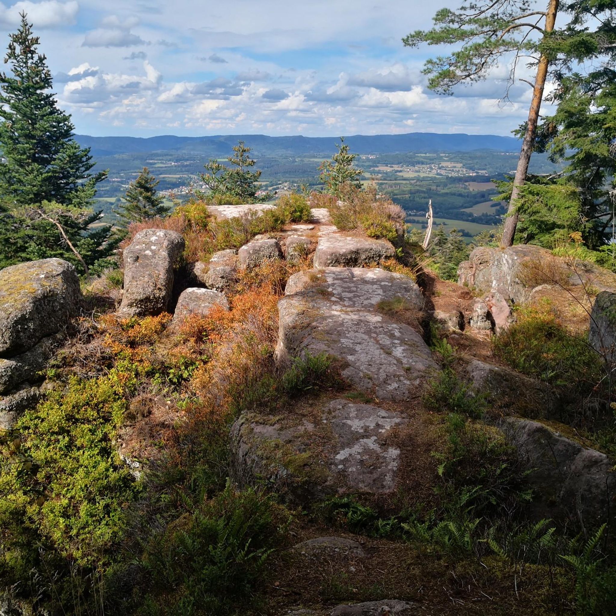
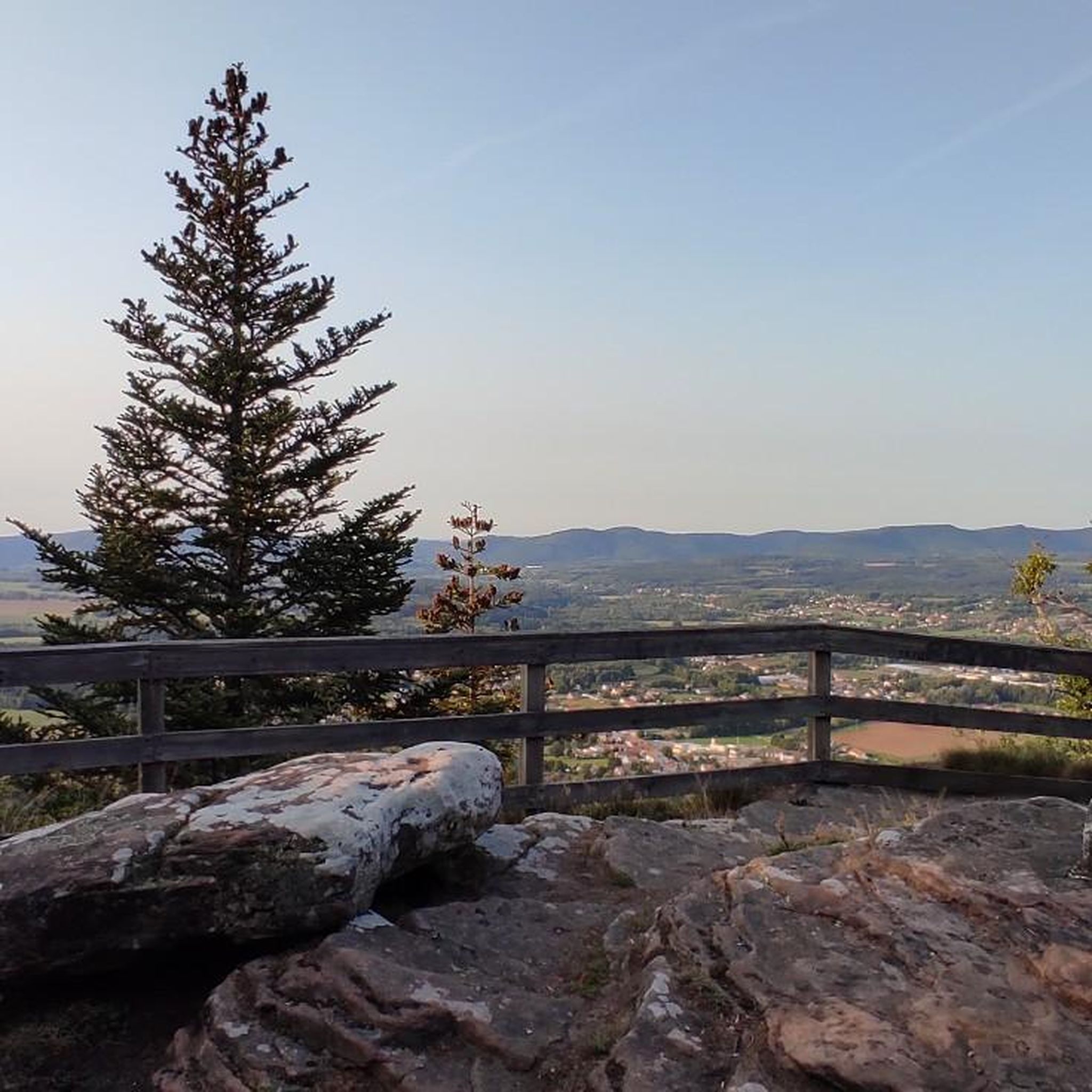
Roche d’Anozel은 Saint-Dié-des-Vosges에서 멀지 않은 Saulcy-sur-Meurthe 근처 Kemberg 산맥에 위치해 있습니다. 눈에 띄는 보주 사암 바위는 해발 약 740m에 위치하며 높이는 약 15m, 너비는 약 20m입니다. 바위에 새겨진 수수께끼 같은 비문은 1402년으로 거슬러 올라갑니다. 특히 뫼르트 계곡과 주변 보주 산맥의 전망이 흥미롭습니다. Roche는 잘 표시된 하이킹 코스 네트워크의 일부입니다.
0
0


Emblematic rock of the Kemberg massif, from which the view of the Vosges is clear.
1
0

Large steep rock with south-facing viewing platform.
2
0

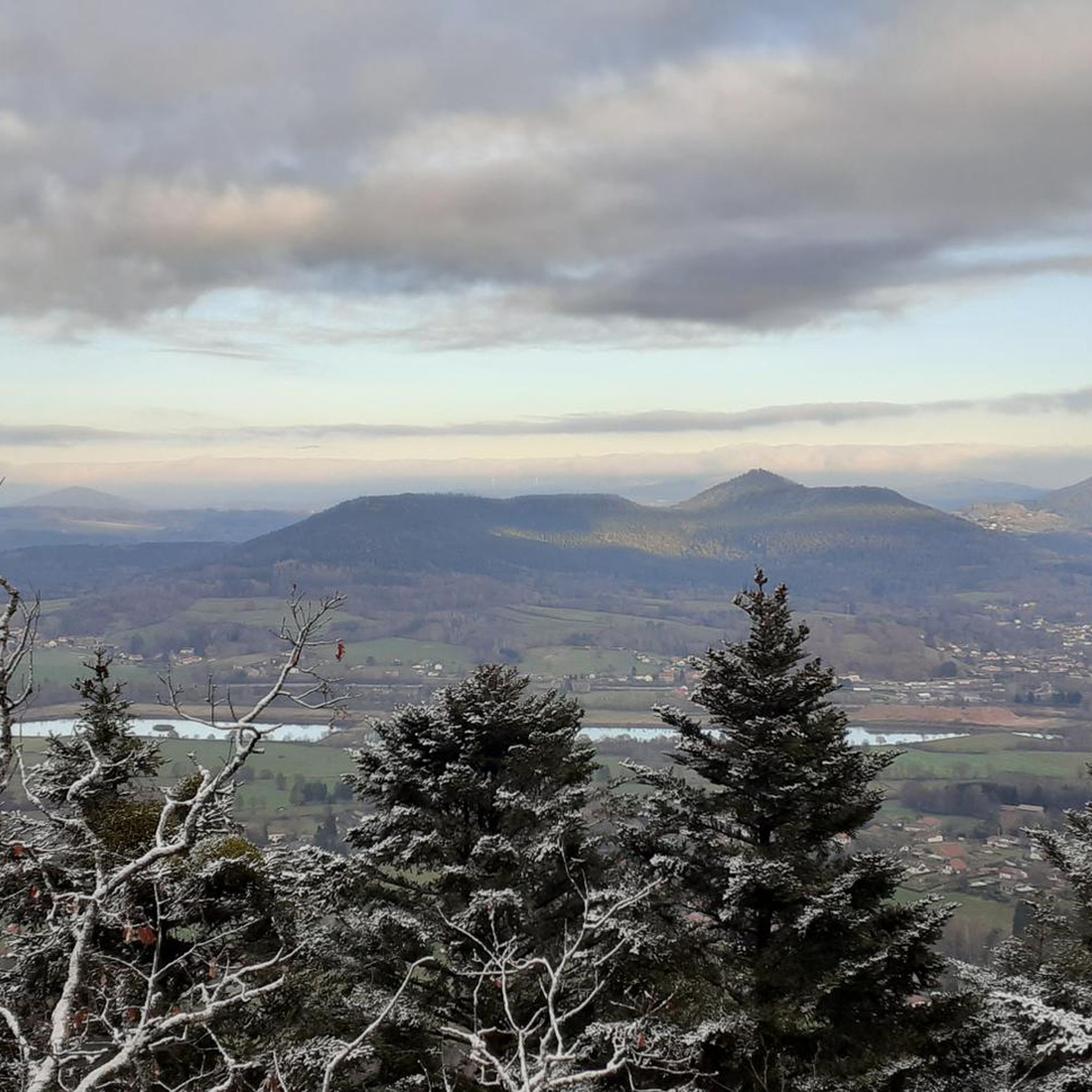
Quiet road through beautiful forest
1
0

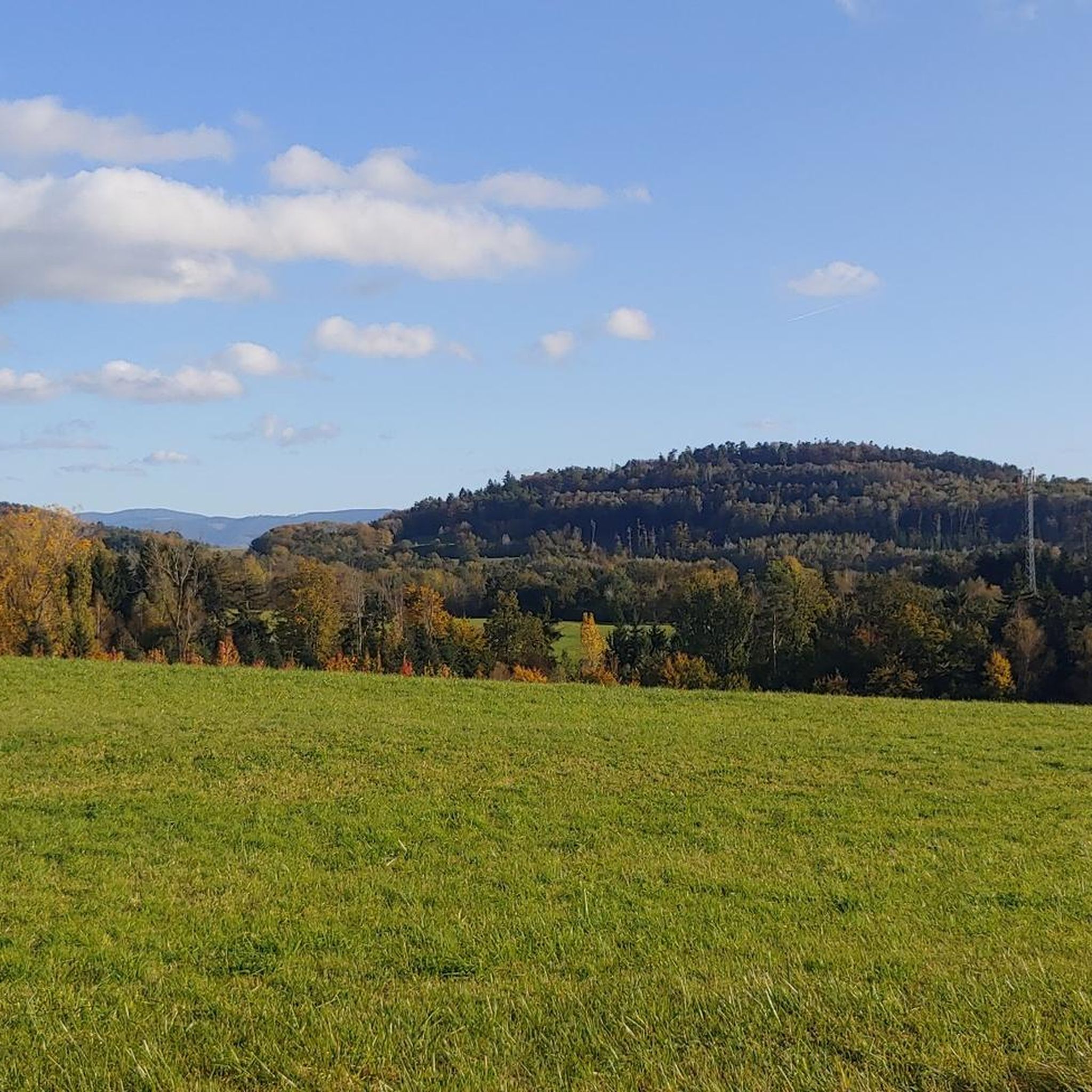
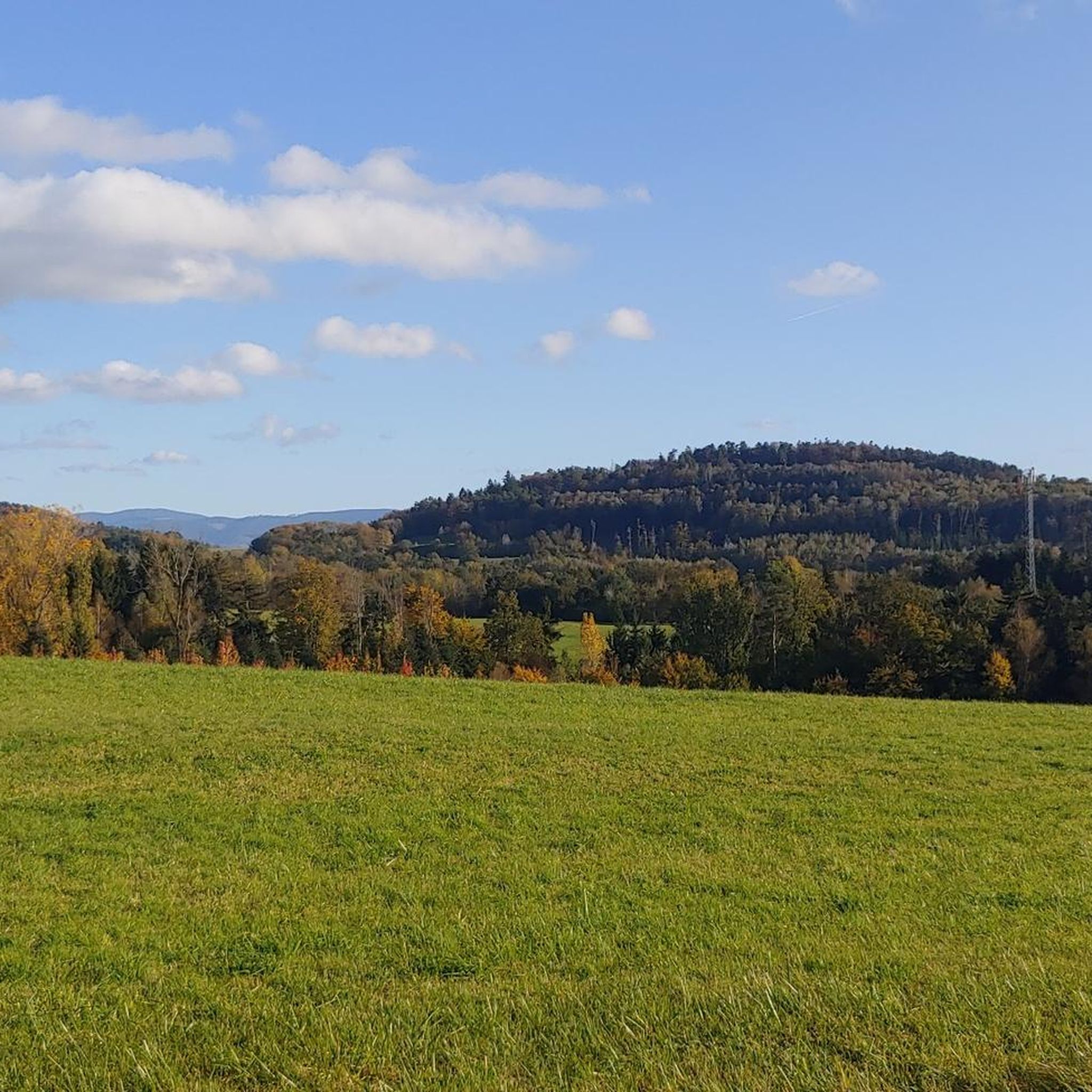
The Celtic camp of the Bure is a fortified plateau bordering the Haute-Meurthe valley in the Grand-East of France. The plateau, now wooded, lies between the communes of Saint-Dié-des-Vosges and that of Hurbache, at the western end of the Ormont massif. This site, known for 23 years of archaeological research from 1964 to 1986, has been classified as a Historical Monument since August 6, 1982. The site has been inhabited since at least the Neolithic period. Then used intensively by the Celts and later by the Romans. There is a lot to see from that time, also because there have not been any settlement activities worth mentioning for a long time. More information e.g. here: https://fr.wikipedia.org/wiki/Camp_celtique_de_la_Bure
6
0
생 미셸 쉬르 메르트 주변에서 가장 인기 있는 명소


더 살펴보기
찾고 있는 하이라이트를 아직 못 찾으셨나요? 다른 지역의 주요 명소 가이드를 확인해보세요:
