20의 로크빌리에르가지 명소 & 주요 장소
로크빌리에르에는 둘러볼 만한 장소가 많답니다. 하이킹 또는 사이클링을 좋아한다면 로크빌리에르에 숨겨진 20
가지 보석을 만날 수 있을 거예요. 이 지역의 주요 명소를 살펴보면서 다음 모험을 계획해보세요.
마지막 업데이트: 8월 30, 2026

콜 드 라 콜미아네
하이라이트 • 산악 고개
번역자 Google •
팁에 의해
이런 장소를 발견하려면 지금 가입하세요
최고의 싱글 트랙, 봉우리 및 다양한 흥미로운 야외 장소에 대한 추천을 받아보세요.
무료 회원 가입
콜 생트마르탱(라 콜미안)
하이라이트 • 산악 고개
번역자 Google •
팁에 의해

메르베유 계곡의 암각화
하이라이트 • 역사적 장소
번역자 Google •
팁에 의해


오늘 무료 계정으로 시작하세요
다음 모험이 기다리고 있어요.
로그인 또는 가입하기


커뮤니티 팁

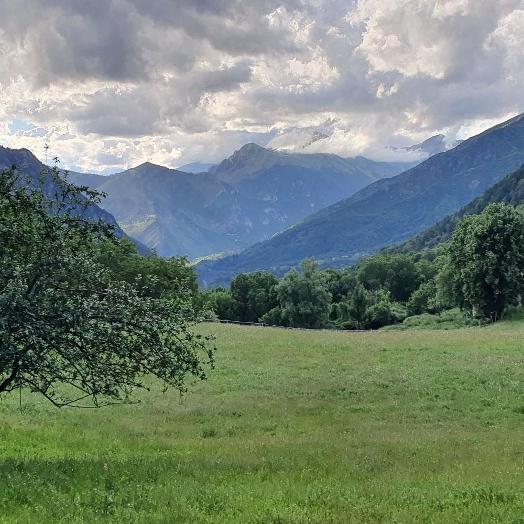
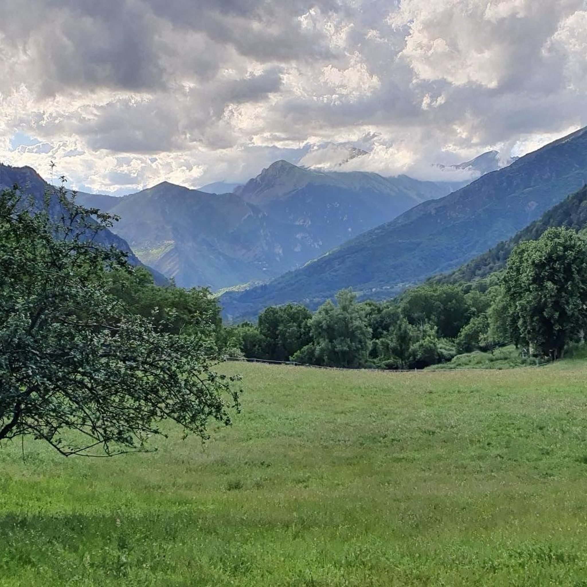
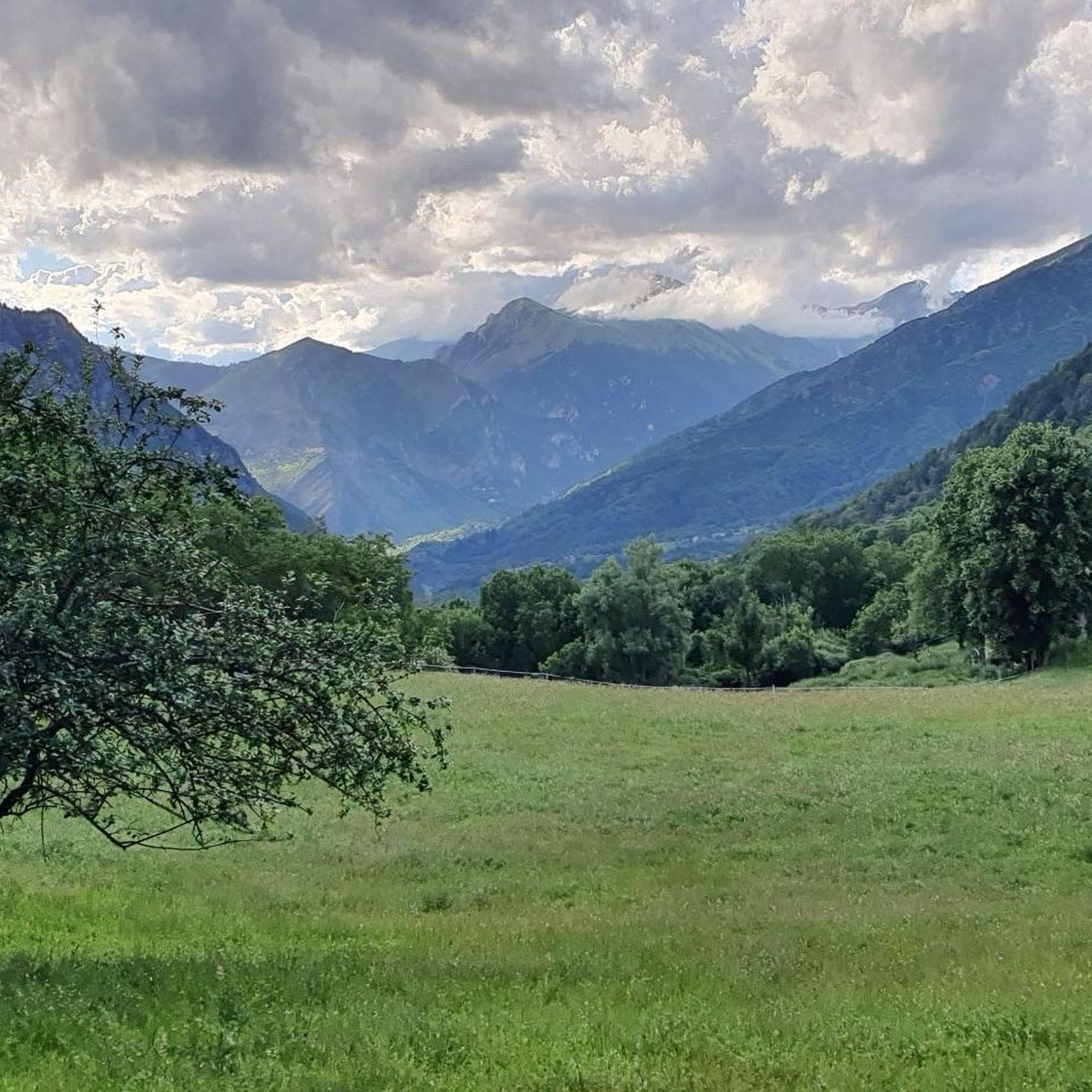
The Col Saint-Martin Pass, or Col de la Colmiane, is a mountain pass in the Southern Alps located at an altitude of 1,500 meters in the Alpes-Maritimes department of France. It provides a year-round road link between the Tinée Valley to the west and the Vésubie Valley to the east.
0
0
The Col Saint-Martin Pass, or Col de la Colmiane, is a mountain pass in the Southern Alps located at an altitude of 1,500 meters in the Alpes-Maritimes department of France. It provides a year-round road link between the Tinée Valley to the west and the Vésubie Valley to the east.
0
0

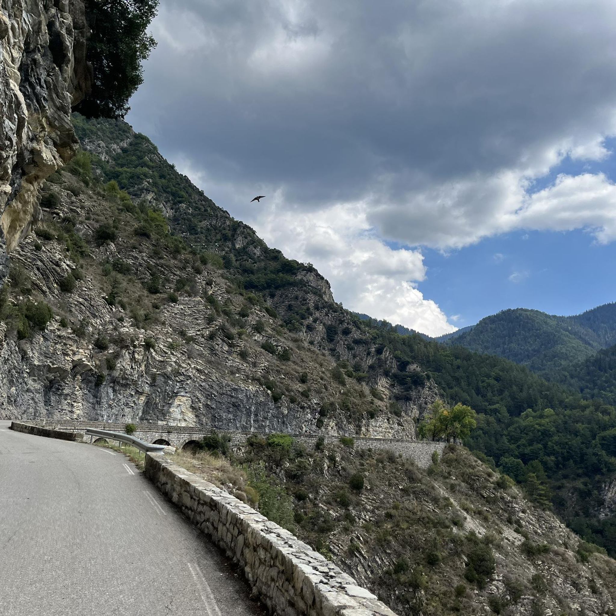
In July during the week there was almost no traffic, making it a completely relaxed drive up.
0
0

Located west of Mont Bego and at more than 2,000 m above sea level, the Vallée des Merveilles offers the austere beauty of a mineral and chaotic landscape, at the foot of imposing peaks reflected in multiple lakes with evocative names. There are particularly emblematic engravings, depicting themes that combine everyday life and beliefs. On the eastern slope of Mount Bego, the Fontanalba valley shows its engraved rocks in an open and welcoming place where the flora reveals all its richness. The engravings illustrate the pastoral life of the first shepherds of the Neolithic and Bronze Age, as demonstrated by the famous “sacred path”. Classified as a Historical Monument since 1989, the archaeological area of the Mont Bego rock engravings, straddling the two valleys, offers numerous discoveries, both historical and landscape, natural and cultural: welcome to one of the largest rock engraving sites in Europe . !
1
0

The Col Saint Martin is an alpine pass which connects the Vésubie valley to the Tinée valley. It peaks at 1,500 meters above sea level. Enjoy the spectacular panorama, with views of the mountains of the Mercantour national park and the Tinée and Vésubie valleys.
0
0

The Col de la Colmiane, also known as Col Saint-Martin, peaks at 1,500 meters above sea level. This climb was featured in the 2018 Paris-Nice race on stage 7.
0
0
Col Saint Martin is an Alpine pass that connects the Vésubie valley with the Tinée valley. It is 1,500 meters high and the climb on both sides is quite challenging, with a length of approximately 16 kilometers and gradients between 5 and 9%. Enjoy the spectacular panorama, with views of the mountains of the Mercantour National Park and the Tinée and Vésubie valleys.
1
0

Bicycle charging station with a compressor and a top wash THANK YOU to the tourist office. Exemplary facilities.
1
0
로크빌리에르 주변에서 가장 인기 있는 명소


더 살펴보기
찾고 있는 하이라이트를 아직 못 찾으셨나요? 다른 지역의 주요 명소 가이드를 확인해보세요:
