로크빌리에르 주변 최고의 그래블 라이딩 코스
4.8
(4)
53
자전거 타는 사람
5
라이딩
로크빌리에르 주변의 엄선된 그래블 라이딩 코스에서 거친 라이딩의 매력을 경험하세요. 도전정신을 자극하는 업힐 코스이든 아름다운 풍경 트레일이든, 로크빌리에르 주변 최고의 그래블 라이딩 경로를 살펴보세요.
마지막 업데이트: 8월 25, 2026
4.5
(2)
21
자전거 타는 사람
39.8km
03:29
1,290m
1,290m
어려운 자갈길 타기. 우수한 체력 필요. 투어 중 자전거를 끌고 가야 하는 구간이 있을 수 있음.
8
자전거 타는 사람
38.2km
03:51
1,300m
1,300m
어려운 자갈길 타기. 우수한 체력 필요. 대부분 포장된 지면. 실력과 관계없이 누구나 갈 수 있음.

무료 회원 가입
5.0
(2)
12
자전거 타는 사람
25.2km
02:16
880m
880m
어려운 자갈길 타기. 우수한 체력 필요. 대부분 포장된 지면. 실력과 관계없이 누구나 갈 수 있음.
6
자전거 타는 사람
77.2km
06:39
2,500m
2,510m
어려운 자갈길 타기. 우수한 체력 필요. 대부분 포장된 지면. 실력과 관계없이 누구나 갈 수 있음.
4
자전거 타는 사람
89.6km
07:59
2,860m
2,870m
어려운 자갈길 타기. 우수한 체력 필요. 대부분 포장된 지면. 실력과 관계없이 누구나 갈 수 있음.
투어 추천은 다른 사람들이 komoot에서 완료한 수천 개의 활동을 바탕으로 구성되어 있습니다.
오늘 무료 계정으로 시작하세요
다음 모험이 기다리고 있어요.
로그인 또는 가입하기

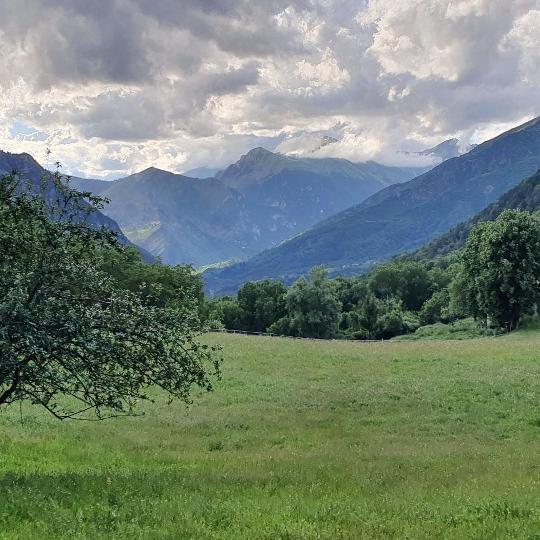
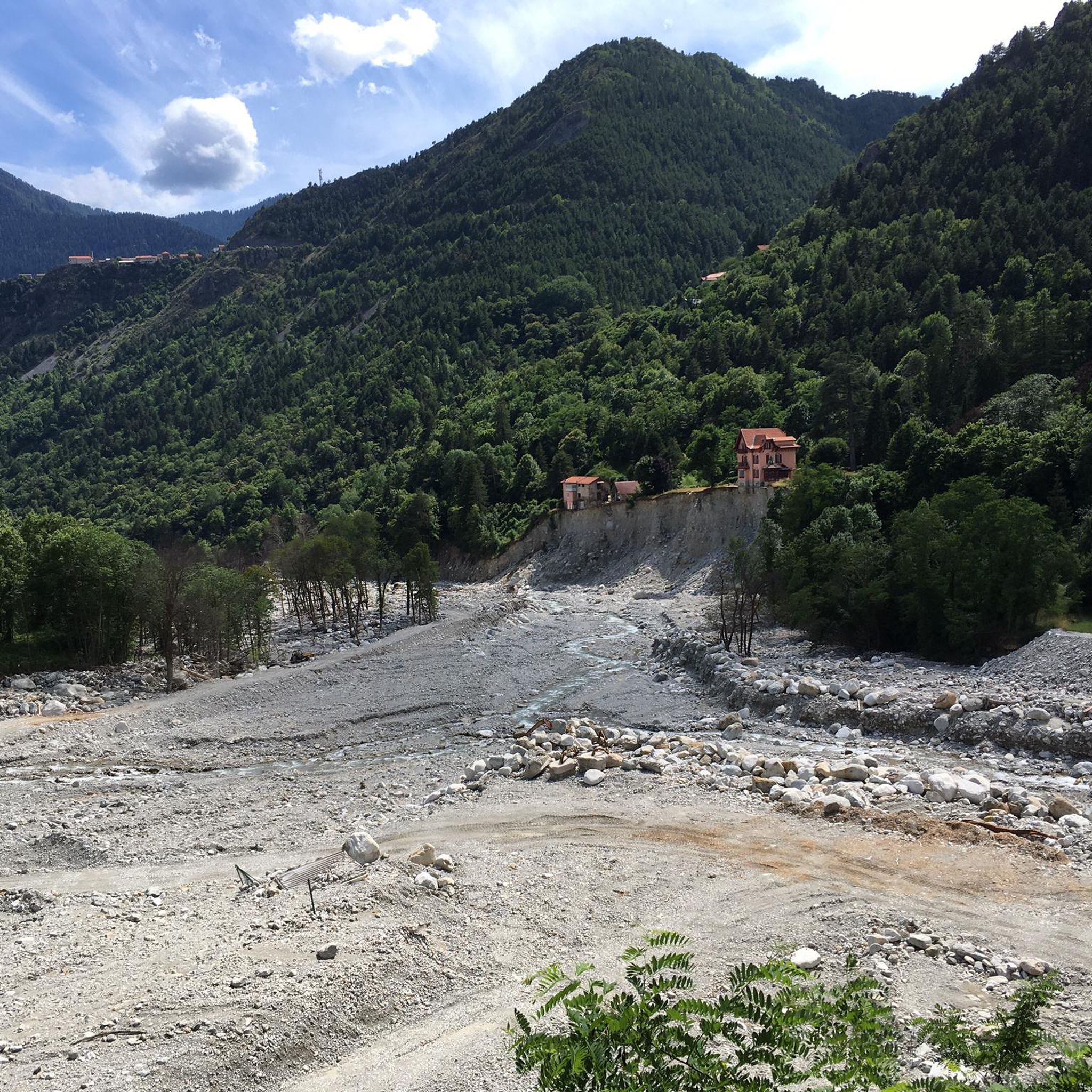
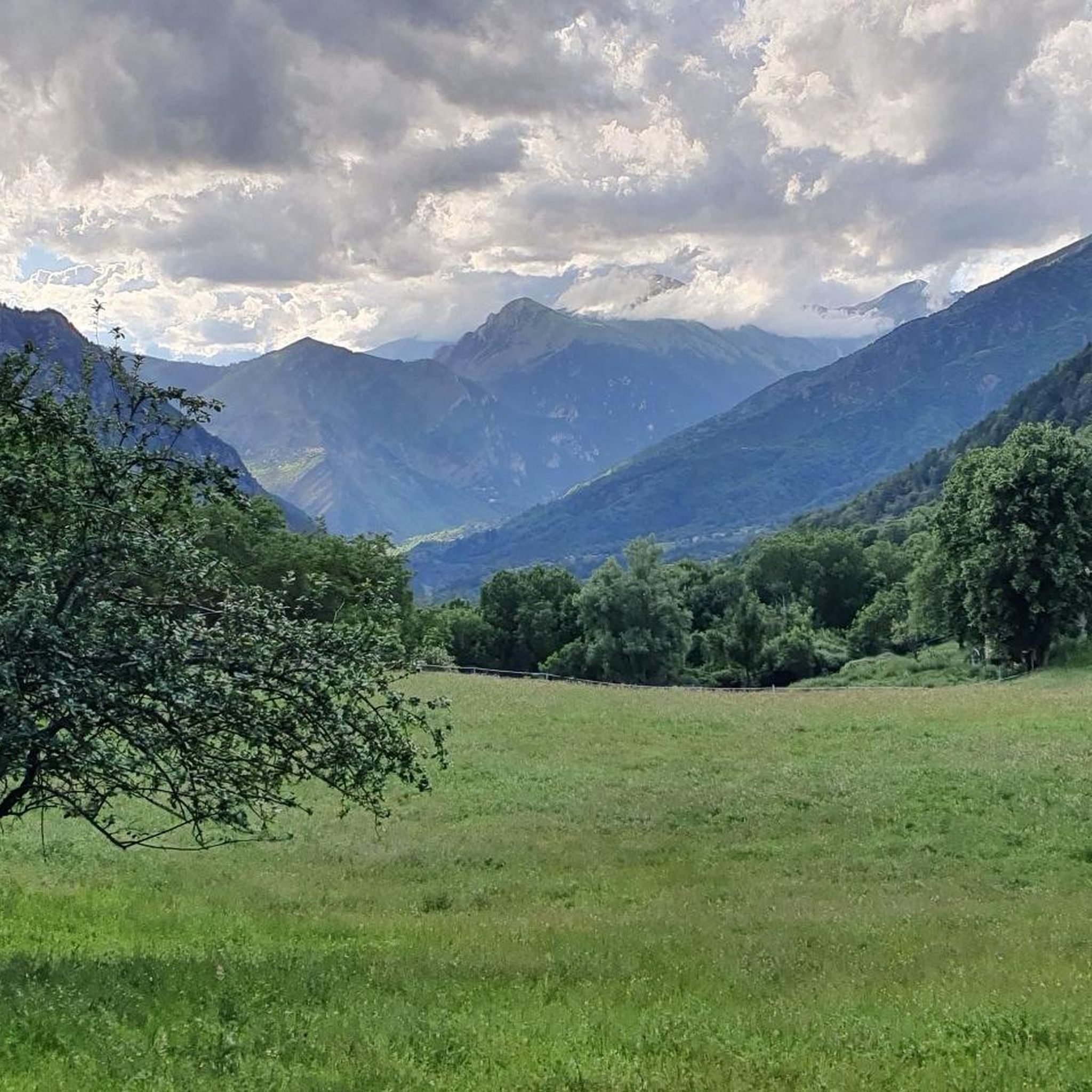
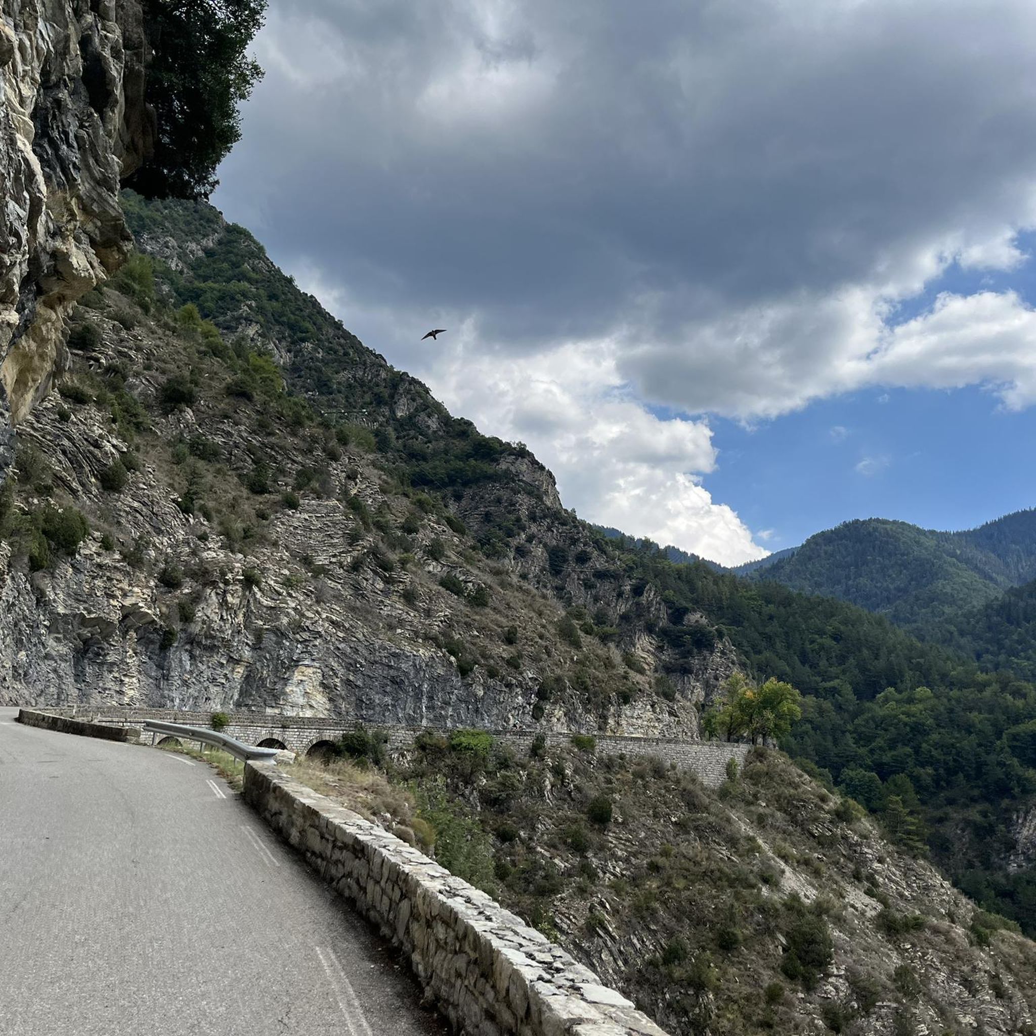

커뮤니티 팁

I did it via Coaraze. Magnificent scenery and a beautiful view of the event and its surrounding area from the top of Ferion. A moderately easy hike. The elevation changes from 500 meters to 1400 meters.
0
0

The Col Saint-Martin Pass, or Col de la Colmiane, is a mountain pass in the Southern Alps located at an altitude of 1,500 meters in the Alpes-Maritimes department of France. It provides a year-round road link between the Tinée Valley to the west and the Vésubie Valley to the east.
0
0
The Col Saint-Martin Pass, or Col de la Colmiane, is a mountain pass in the Southern Alps located at an altitude of 1,500 meters in the Alpes-Maritimes department of France. It provides a year-round road link between the Tinée Valley to the west and the Vésubie Valley to the east.
0
0
Col Saint Martin (el. 1500 m.) is a high mountain pass in the Alps in the department of Alpes-Maritimes in France.[1] It is traversed by the D-2205 highway.[2] The place has been crossed at the Tour de France road cycling race in 1973, 1975 and 2020, as well as at multiple editions of the Paris-Nice.
0
0

A charming town with beautiful Mediterranean-style houses. Fountains babble at the town hall square, and thanks to hotels and restaurants, the square is bustling with life.
0
0
In July during the week there was almost no traffic, making it a completely relaxed drive up.
0
0
Currently (as of July 2025), there's a lot of excavation and construction going on here. For cycling emergencies, there's a local sports shop that carries all kinds of cycling supplies and was able to quickly help us with our bike repairs: https://sport-addict06.fr/
2
0

The ruins of an ancient haunted village, where only the bravest dare to spend the night...
0
0
로크빌리에르 주변에서 가장 인기 있는 명소


더 살펴보기
다른 지역의 최고의 그래블 라이딩를 살펴보세요.
