로크빌리에르에서 가장 멋진 11개의 산 정상
로크빌리에르의 산 정상에 오르면 이 지역의 아름다운 모습을 제대로 구경할 수 있어요. 다만, 11
곳이나 되는 산 정상 중에서 어떤 곳을 가야 할 지 고민된다는 게 문제죠. 로크빌리에르에서 가장 멋진 산 정상을 살펴본 후에 마음에 드는 산 정상을 다음 모험 계획에 추가해보세요.
마지막 업데이트: 10월 16, 2026
Cime du Diable
하이라이트 • 정상
번역자 Google •
팁에 의해

Ouvrage de la Forca 유적지
하이라이트 • 역사적 장소
번역자 Google •
팁에 의해

이런 장소를 발견하려면 지금 가입하세요
최고의 싱글 트랙, 봉우리 및 다양한 흥미로운 야외 장소에 대한 추천을 받아보세요.

Baus de la Frema
하이라이트 • 정상
팁에 의해

무료로 가입하여 로크빌리에르 주변의 더 많은 봉우리를 발견하세요.
이미 komoot 계정이 있나요?
오늘 무료 계정으로 시작하세요
다음 모험이 기다리고 있어요.


커뮤니티 팁

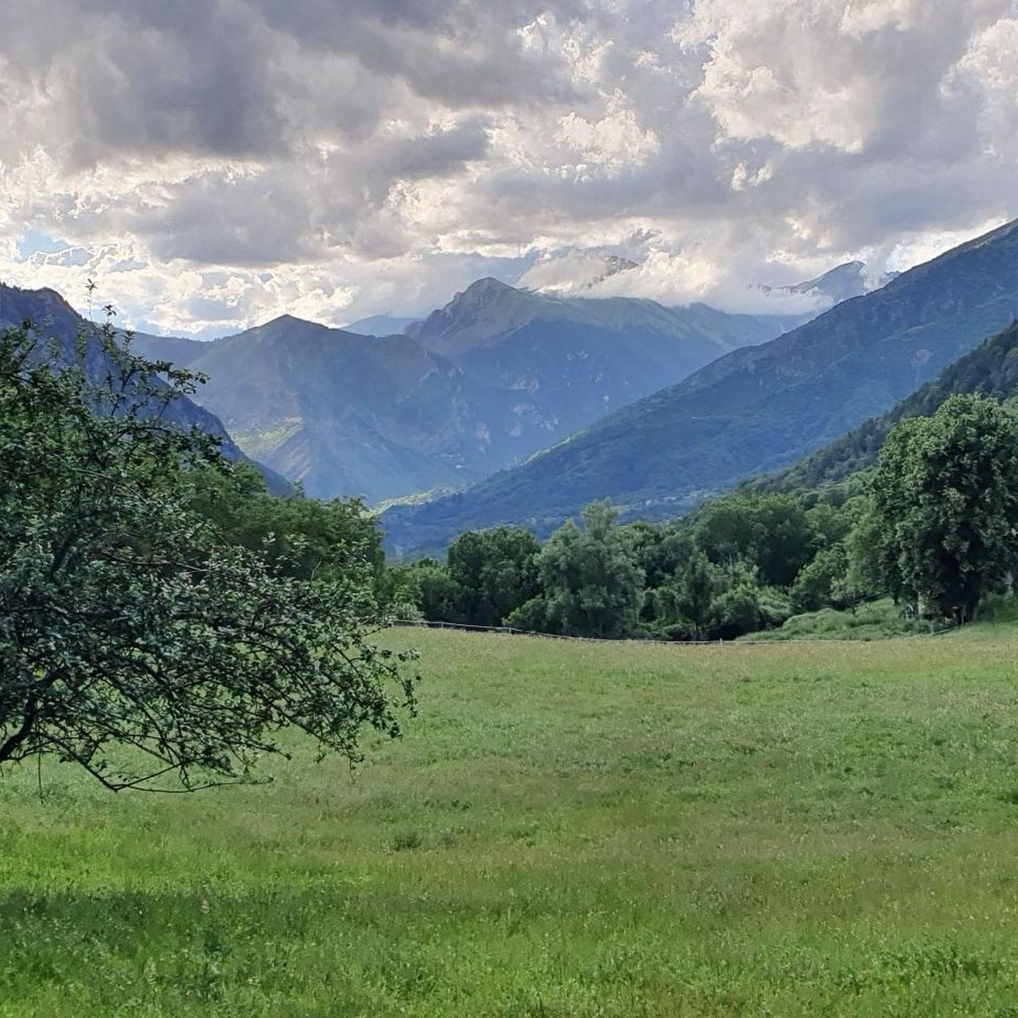
From the valley, you have to climb 1,700 meters of elevation gain to reach Mount Pépoiri. At 2,674 meters above sea level, the views of the Mercantour ridges are the greatest reward. The surrounding trails are neither too technical nor too rough, making it a perfect playground for trail runners.
1
0
If the southern slope of Baus de la Frema is known for its via ferrata, access from the north and east is much less technical. These trails are perfect for trail running, especially since the landscapes offered by the summit, at an altitude of 2,246 meters, are simply magnificent.
0
0

The Brec d'Utelle is a summit culminating at 1,604 meters. On a clear day, it offers an unforgettable panorama of the Mercantour, the Côte d'Azur and the surrounding valleys (Var, Tinée, Vésubie). Note that "brec", a name of Gallic origin, means "point of rock", "peak", or "steep place".
0
0

It was my first time with snow shoes, and it was a lot of fun, not dangerous. It was 4 1/2 hours
0
0

The work and the barracks of La Forca are now ruins. They were built between January 1887 and November 1891 at a time of border tension. Its purpose was to monitor the Roya valley in order to control a possible invasion of troops from Italy. They come to replace an old Sardinian redoubt. The two buildings are located at the southern summit of the Massif de L'Authion at 2,078 meters above sea level. Besides this historic site, the climb to the top is worth doing just for the magnificent views.
1
0
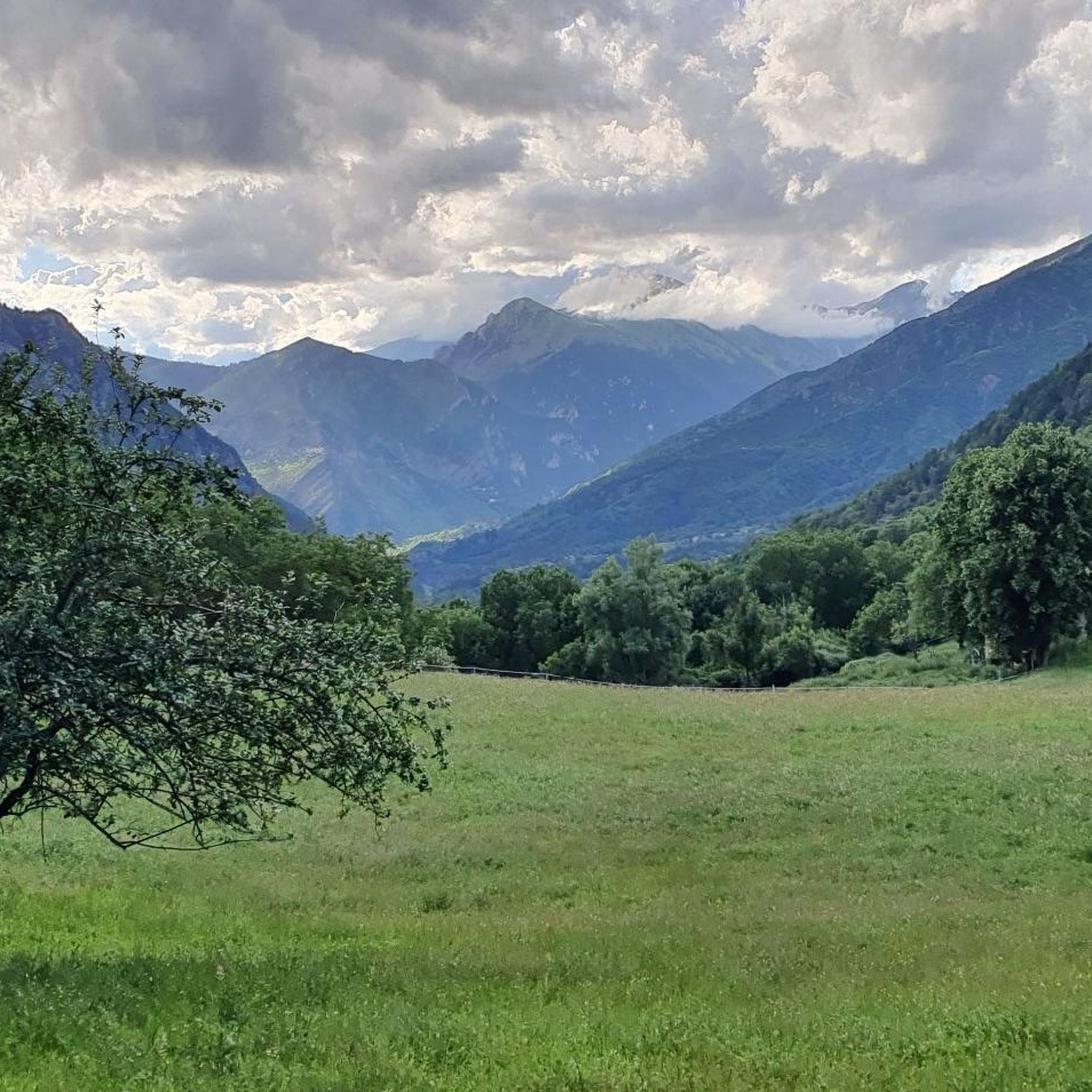
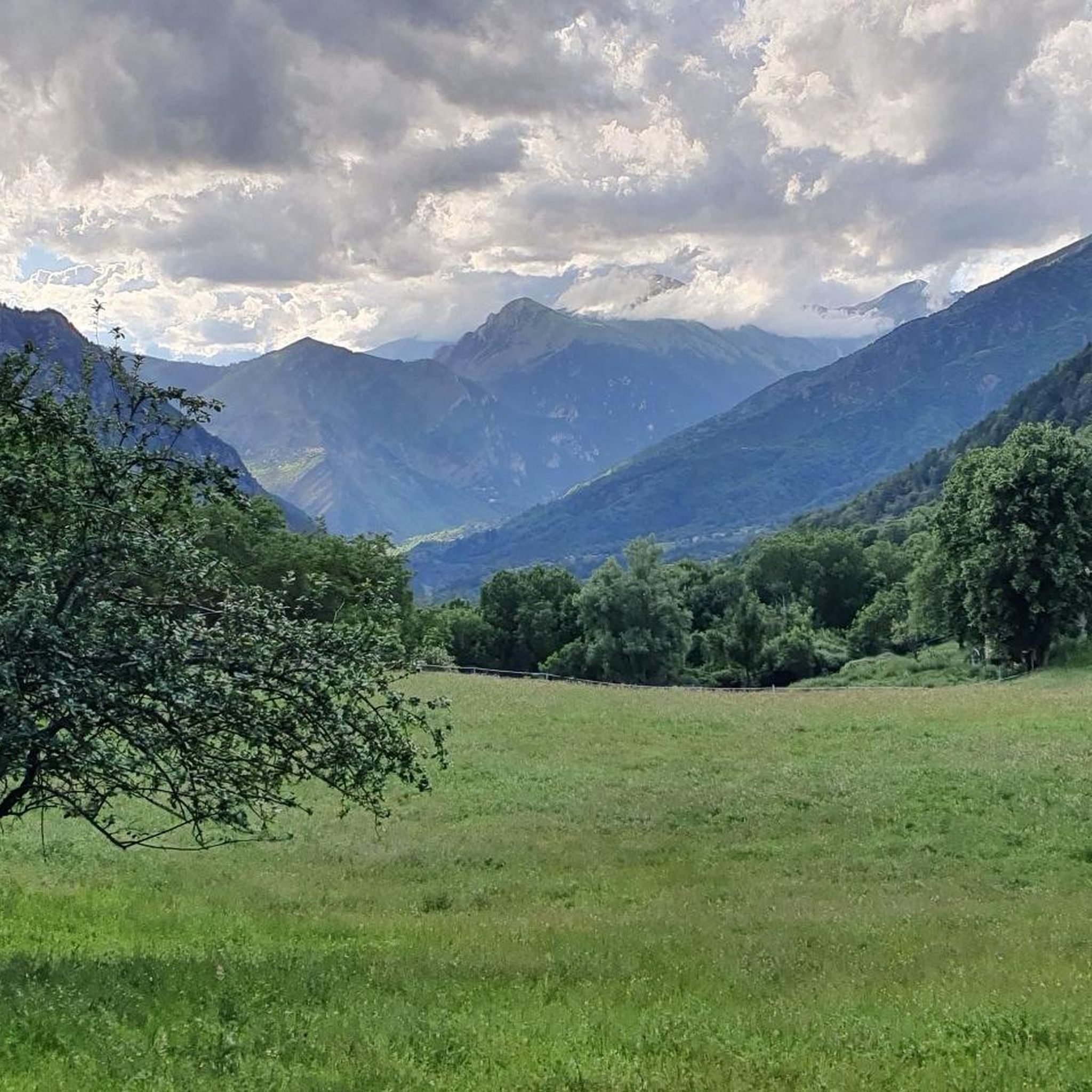
The detour via Mont Pépoiri is clearly worth the effort. The trail to the top is not too difficult. On a clear day, you will have an incredible view of the crests of the Mercantour massif. The look sometimes goes as far as Corsica.
0
0

Nice tour with a view worth seeing at the end. The route leads partly over rocks and signposts are not available everywhere. A hike with a map on your cell phone is recommended, cairns on the route help with orientation. A running time of 6 hours is realistic for a good fitness level. If you are lucky you can see chamois and golden eagles on this route. Still accessible at the beginning of October.
2
0

The ascent to the Cime du Diable is definitely worthwhile because of the good all-round visibility. Now in July, the ascent is recommended, preferably in the morning when the sky is clear. The climb is quite steep at the end, but not too long. Of course there is cell phone reception at the summit, which is rarely the case elsewhere. Note that trekking poles are not allowed in this area unless equipped with rubber stoppers. It is also not allowed to move off the paths. Corresponding small signs give precise information from place to place about what is allowed and what is not.
2
0
로크빌리에르 주변에서 가장 인기 있는 명소


더 살펴보기
이 가이드를 통해 로크빌리에르 주변의 더 놀라운 정상들을 확인해보세요:
