20의 리우슈가지 명소 & 주요 장소
리우슈에는 둘러볼 만한 장소가 많답니다. 하이킹 또는 사이클링을 좋아한다면 리우슈에 숨겨진 20
가지 보석을 만날 수 있을 거예요. 이 지역의 주요 명소를 살펴보면서 다음 모험을 계획해보세요.
마지막 업데이트: 8월 30, 2026
콜 생마르탱 출발점
하이라이트 (구간) • 산악 고개
번역자 Google •
팁에 의해


이런 장소를 발견하려면 지금 가입하세요
최고의 싱글 트랙, 봉우리 및 다양한 흥미로운 야외 장소에 대한 추천을 받아보세요.
무료 회원 가입
콜 드 생 마르탱의 전망
하이라이트 • 기타
번역자 Google •
팁에 의해

Ascros 마을과 성
하이라이트 • 정착지
번역자 Google •
팁에 의해

무료로 가입하여 리우슈 주변의 더 많은 명소를 발견하세요.
무료 회원 가입
이미 komoot 계정이 있나요?
오늘 무료 계정으로 시작하세요
다음 모험이 기다리고 있어요.
로그인 또는 가입하기

커뮤니티 팁

The Col de la Couillole is a mountain pass in the Massif du Mercantour-Argentera of the French Alps, situated at an altitude of 1,678 m (5,505 ft) in the Alpes-Maritimes department, France. The road connection is open for six to seven months of the year, allowing travel between the Cians gorges in the west and the Tinée valley in the east.
0
0
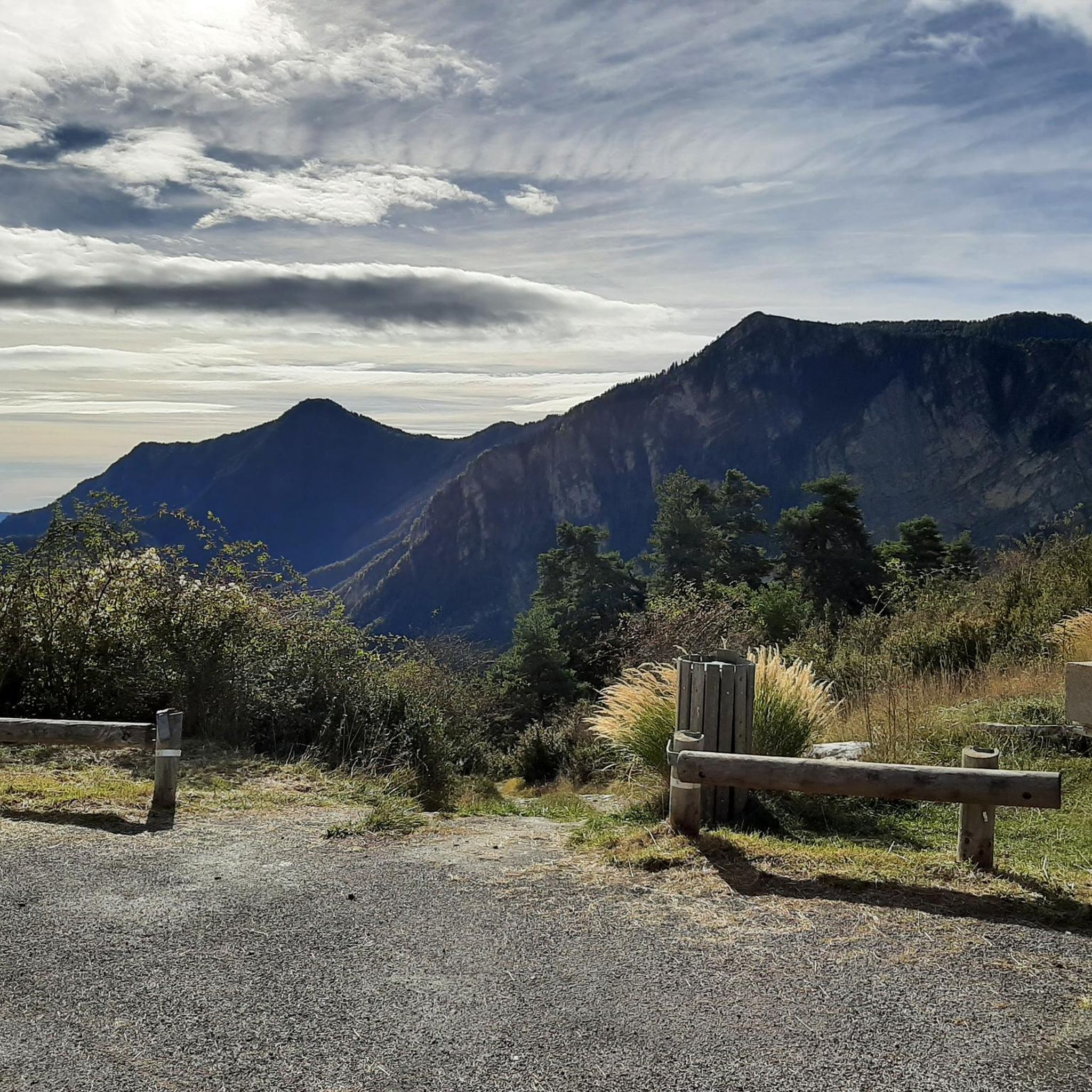
The Col Saint-Martin Pass, or Col de la Colmiane, is a mountain pass in the Southern Alps located at an altitude of 1,500 meters in the Alpes-Maritimes department of France. It provides a year-round road link between the Tinée Valley to the west and the Vésubie Valley to the east.
0
0
Col Saint Martin (el. 1500 m.) is a high mountain pass in the Alps in the department of Alpes-Maritimes in France.[1] It is traversed by the D-2205 highway.[2] The place has been crossed at the Tour de France road cycling race in 1973, 1975 and 2020, as well as at multiple editions of the Paris-Nice.
0
0

Small village where you can find something to eat. We recommend you stop at Will's Diner. Open only on weekends (check on Instagram), he has set up a food truck in his garden. Everything is homemade, and we enjoy it before or after Mont Vial, the choice is yours!
0
0

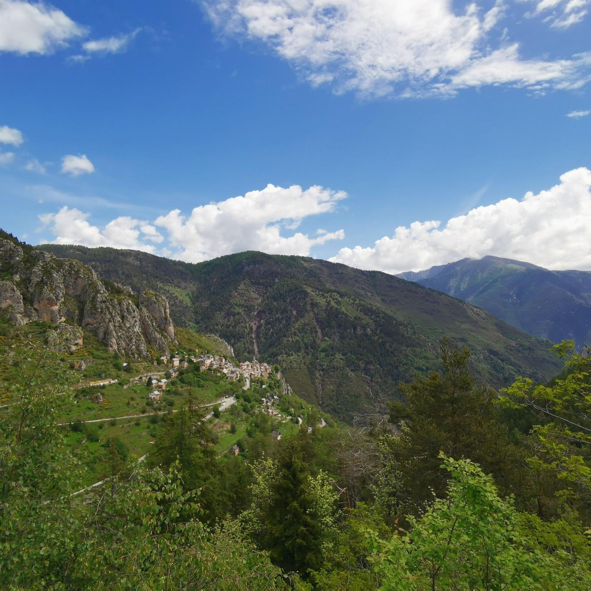
A hilltop village offering, on a clear day, an extraordinary panorama of Mont Agel, Gréolière, the Estéron and Moyen Var valleys and the first Alpine peaks. The history of the castle and the village of Ascros is closely linked to that of the Grimaldi barony which reigned over this place.
0
0

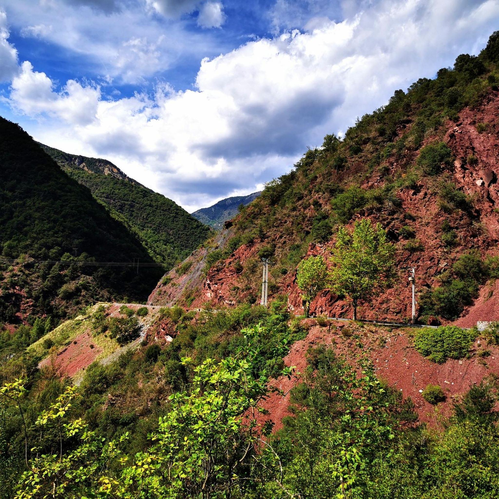
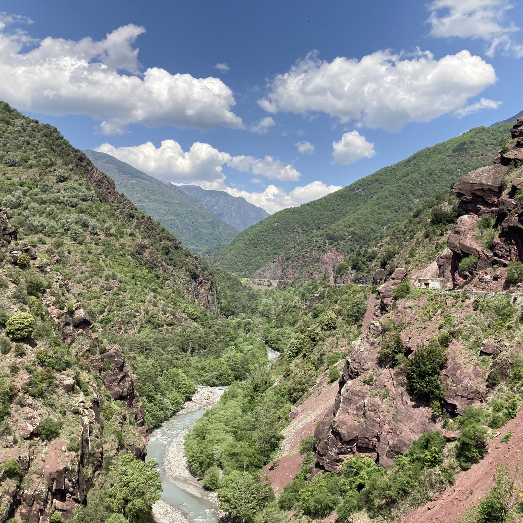
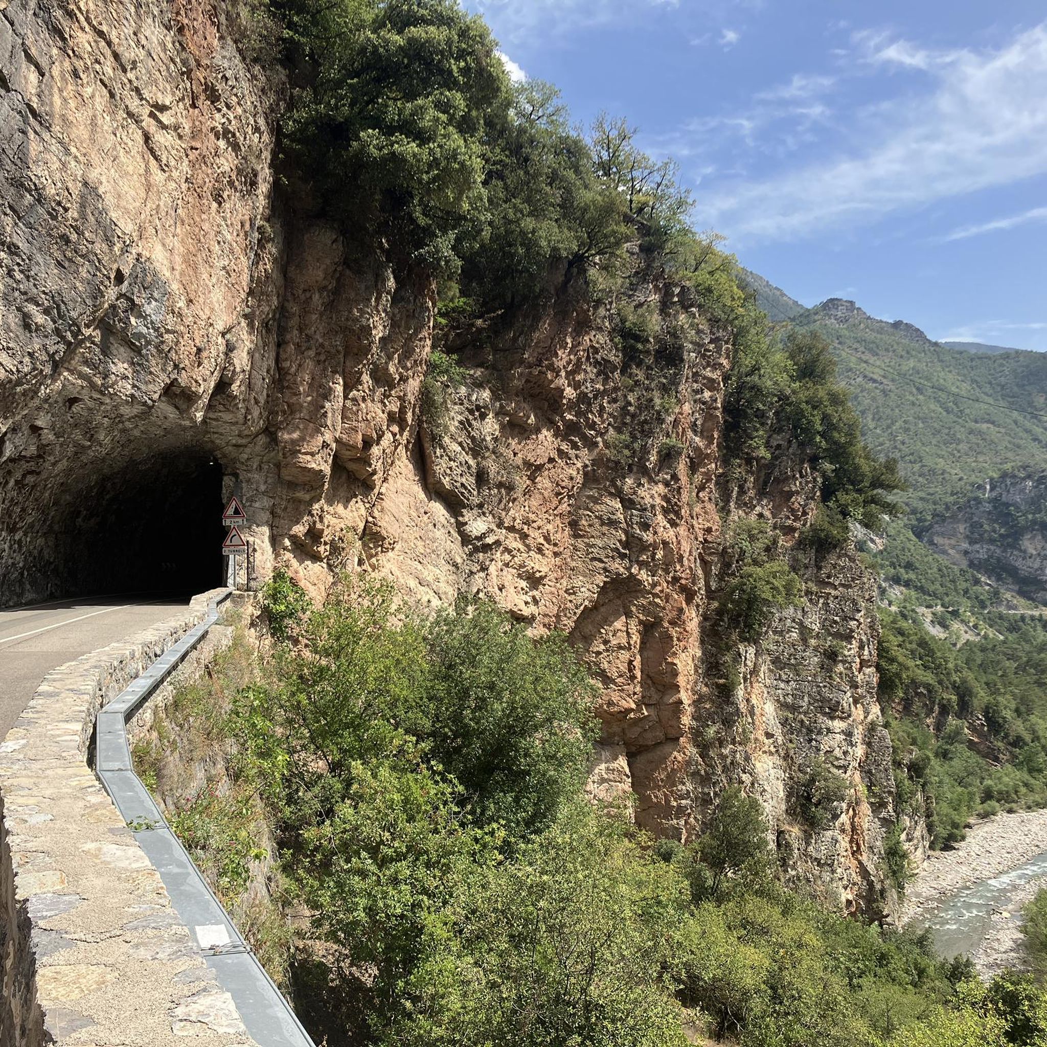
This stretch of road connects the Vésubie valley with the Tinée valley through the Col di Saint Martin, an Alpine pass located at 1500 meters above sea level. The road is very scenic and offers splendid landscapes between the Maritime Alps and the Mercantour National Park. There are many hairpin bends and rest points from which you can admire the region's highest peaks, vertiginous gorges carved by streams and picturesque medieval villages.
0
0

The Col de la Couillole from Saint Sauveur sur tinee is 16km long with 1168m of elevation gain. The average gradient of the climb is 7.3% with maximum gradients of 9.3%.
3
0

리우슈 주변에서 가장 인기 있는 명소


더 살펴보기
찾고 있는 하이라이트를 아직 못 찾으셨나요? 다른 지역의 주요 명소 가이드를 확인해보세요:
